Myers Hill
Hill, Mountain in Surrey Waverley
England
Myers Hill
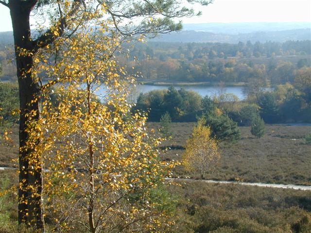
Myers Hill is an impressive natural landmark located in Surrey, England. Rising to an elevation of 286 meters (938 feet), it is classified as a hill rather than a mountain due to its height. Situated within the beautiful Surrey Hills Area of Outstanding Natural Beauty, Myers Hill offers breathtaking panoramic views of the surrounding countryside.
The hill itself is covered in lush greenery, with a variety of trees and plant life adorning its slopes. Its summit is relatively flat, providing ample space for visitors to explore and take in the stunning vistas. On a clear day, it is possible to see for miles, with the Surrey countryside stretching out before you.
Myers Hill is a popular destination for outdoor enthusiasts, attracting hikers, nature lovers, and photographers alike. Several well-marked trails traverse the hill, offering different levels of difficulty to suit all abilities. These trails take visitors through dense woodlands, across rolling meadows, and alongside picturesque streams, providing a diverse and immersive experience of the area's natural beauty.
Wildlife is abundant on Myers Hill, with various species of birds, mammals, and insects calling the hill and its surrounding area home. Birdwatchers can spot a wide array of species, including buzzards, kestrels, and owls, while lucky visitors may even catch a glimpse of a deer or fox.
Overall, Myers Hill in Surrey, England, is a stunning natural landmark that offers visitors the chance to immerse themselves in the beauty of the Surrey Hills. With its breathtaking views, diverse flora and fauna, and well-maintained trails, it is a must-visit destination for anyone seeking a serene escape into nature.
If you have any feedback on the listing, please let us know in the comments section below.
Myers Hill Images
Images are sourced within 2km of 51.177014/-0.75817465 or Grid Reference SU8642. Thanks to Geograph Open Source API. All images are credited.


Myers Hill is located at Grid Ref: SU8642 (Lat: 51.177014, Lng: -0.75817465)
Administrative County: Surrey
District: Waverley
Police Authority: Surrey
What 3 Words
///upsetting.contacts.herbs. Near Elstead, Surrey
Nearby Locations
Related Wikis
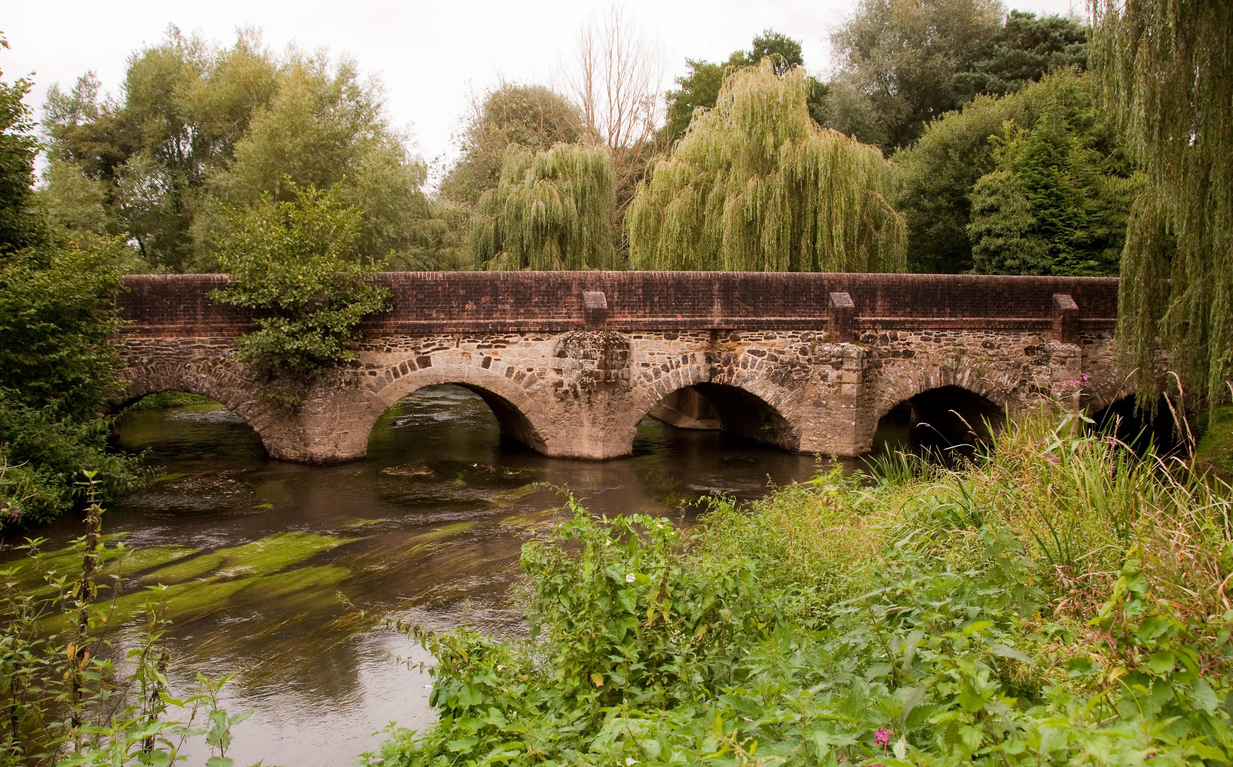
River Wey
The River Wey is a main tributary of the River Thames in south east England. Its two branches, one of which rises near Alton in Hampshire and the other...

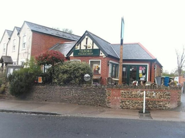
Tilford
Tilford is a village and civil parish centred at the point where the two branches of the River Wey merge in Surrey, England, 3 miles (4.8 km) south-east...
Rural Life Living Museum, Tilford
The Rural Life Living Museum is in Tilford, Surrey near Farnham in southern England. Formerly known as the Old Kiln Agricultural Museum and the Rural Life...

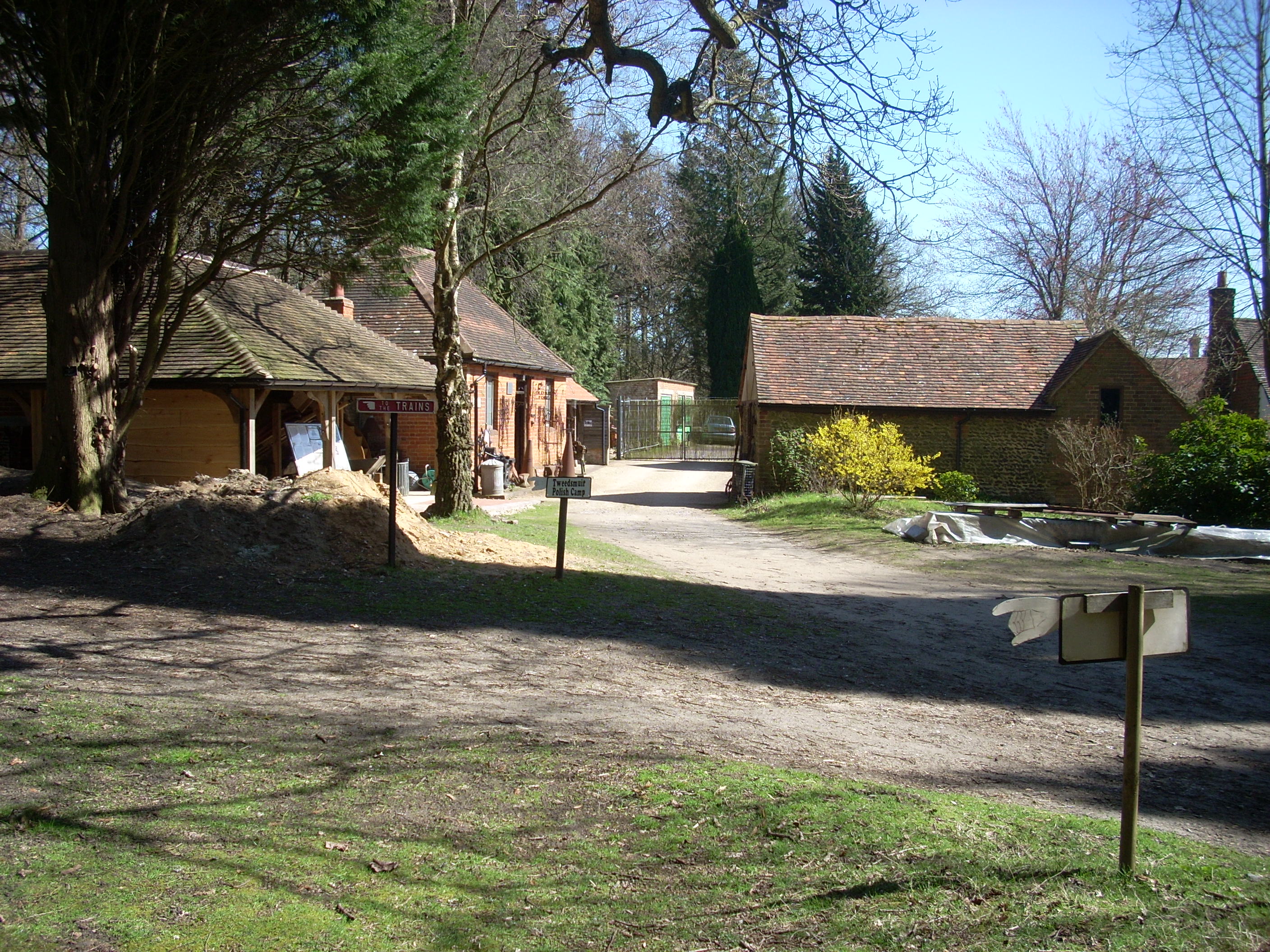
Old Kiln Light Railway
The Old Kiln Light Railway is a 2 ft (610 mm) narrow gauge railway at the Rural Life Living Museum in Tilford, near Farnham, Surrey. It has a collection...

Mubarak Mosque, Tilford
The Mubarak Mosque (English: The Blessed Mosque) is a mosque in Tilford, Surrey, England. It currently serves as the mosque on the site of the international...
Islamabad, Tilford
Islamabad, in the village of Tilford, Surrey, England, is an estate which serves as the headquarters of the Ahmadiyya Muslim Community. Islamabad is 10...

Bourne Wood
Bourne Wood (also known as Bourne Woods) is an area of predominantly coniferous woodland just south of Farnham, Surrey, England and a film location, under...
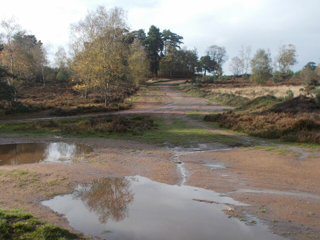
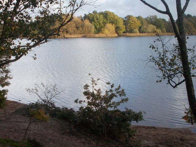
Frensham Common
Frensham Common is a large Site of Special Scientific Interest (SSSI) heathland of 373 hectares (922 acres) which includes two lakes; it is owned and...
Nearby Amenities
Located within 500m of 51.177014,-0.75817465Have you been to Myers Hill?
Leave your review of Myers Hill below (or comments, questions and feedback).