Chuter's Firs
Wood, Forest in Surrey Waverley
England
Chuter's Firs
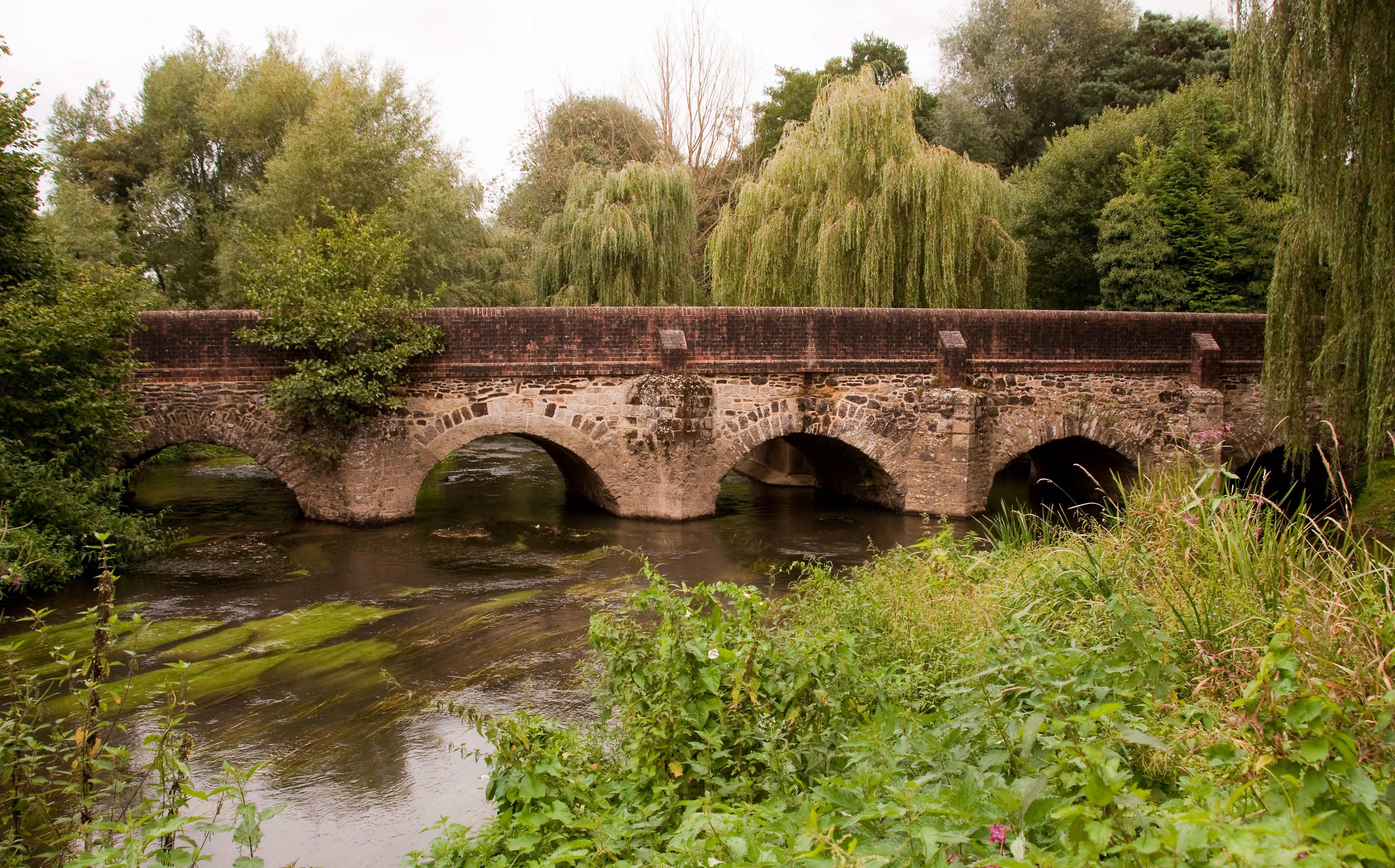
Chuter's Firs is a picturesque woodland located in Surrey, England. Situated in the heart of the Surrey Hills, it is a popular destination for nature enthusiasts, hikers, and families seeking a tranquil escape from the bustling city life. This ancient woodland covers an area of approximately 100 acres and is densely populated with a variety of fir trees, making it a breathtaking sight during all seasons.
The woodland is known for its rich biodiversity and is home to numerous species of flora and fauna. The towering fir trees create a dense canopy, providing shelter for a wide range of bird species, including woodpeckers, owls, and various songbirds. Additionally, the forest floor is adorned with a vibrant carpet of moss, ferns, and wildflowers, further enhancing its natural beauty.
Chuter's Firs offers a network of well-maintained footpaths and trails, allowing visitors to explore the woodland at their own pace. These trails are suitable for all abilities, making it an ideal location for leisurely walks, jogging, or even dog walking. Along the way, visitors can enjoy breathtaking views of the surrounding countryside, rolling hills, and distant villages.
The woodland is easily accessible, with ample parking available nearby. It is also in close proximity to several other attractions, including historic villages, country pubs, and the Surrey Hills Area of Outstanding Natural Beauty. Chuter's Firs is a true haven of tranquility and natural beauty, offering a peaceful retreat for anyone seeking to connect with nature in the heart of Surrey.
If you have any feedback on the listing, please let us know in the comments section below.
Chuter's Firs Images
Images are sourced within 2km of 51.172796/-0.76664186 or Grid Reference SU8642. Thanks to Geograph Open Source API. All images are credited.


Chuter's Firs is located at Grid Ref: SU8642 (Lat: 51.172796, Lng: -0.76664186)
Administrative County: Surrey
District: Waverley
Police Authority: Surrey
What 3 Words
///essential.blogs.fluffed. Near Churt, Surrey
Nearby Locations
Related Wikis
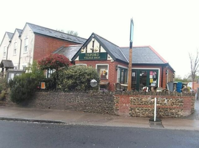
Rural Life Living Museum, Tilford
The Rural Life Living Museum is in Tilford, Surrey near Farnham in southern England. Formerly known as the Old Kiln Agricultural Museum and the Rural Life...

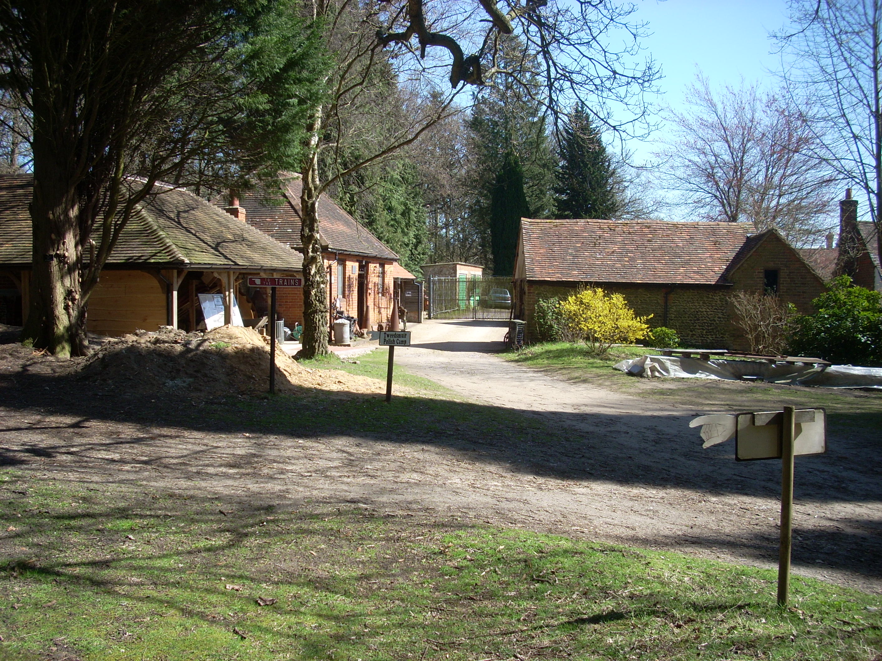
Old Kiln Light Railway
The Old Kiln Light Railway is a 2 ft (610 mm) narrow gauge railway at the Rural Life Living Museum in Tilford, near Farnham, Surrey. It has a collection...
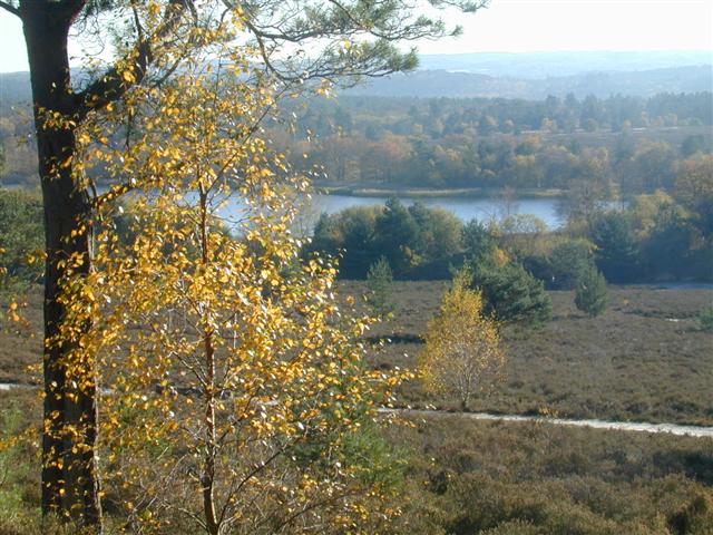
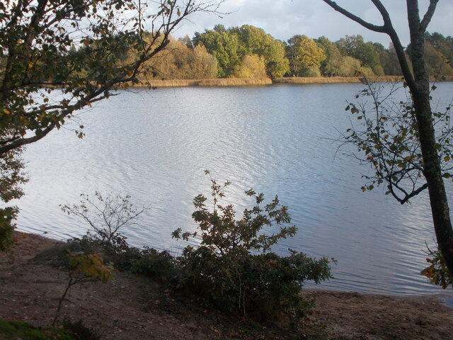
Frensham Common
Frensham Common is a large Site of Special Scientific Interest (SSSI) heathland of 373 hectares (922 acres) which includes two lakes; it is owned and...
River Wey
The River Wey is a main tributary of the River Thames in south east England. Its two branches, one of which rises near Alton in Hampshire and the other...

Tilford
Tilford is a village and civil parish centred at the point where the two branches of the River Wey merge in Surrey, England, 3 miles (4.8 km) south-east...

Gong Hill
Gong Hill is a 5.9-hectare (15-acre) biological Site of Special Scientific Interest south of Farnham in Surrey.This heathland site is dominated by ling...

Rushmoor, Surrey
Rushmoor is a village in the civil parish of Frensham, in the Waverley district, in the county of Surrey, England. In 2019 it had an estimated population...

Bourne Wood
Bourne Wood (also known as Bourne Woods) is an area of predominantly coniferous woodland just south of Farnham, Surrey, England and a film location, under...
Nearby Amenities
Located within 500m of 51.172796,-0.76664186Have you been to Chuter's Firs?
Leave your review of Chuter's Firs below (or comments, questions and feedback).