Beacon Hill
Hill, Mountain in Hampshire Hart
England
Beacon Hill
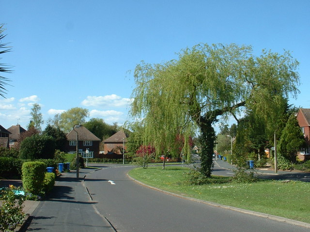
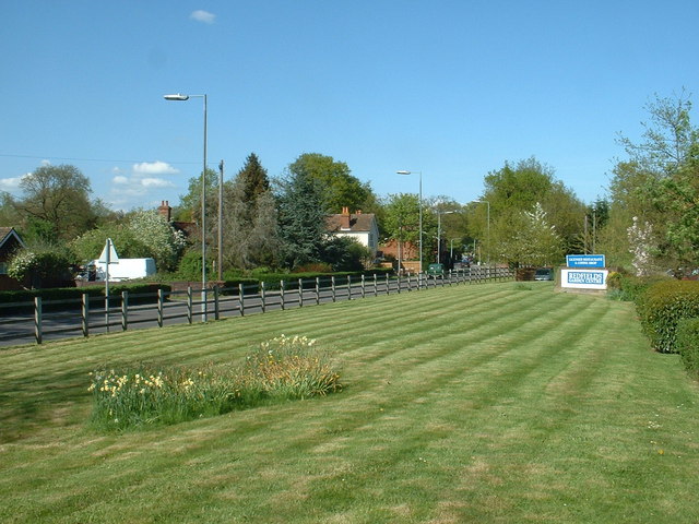
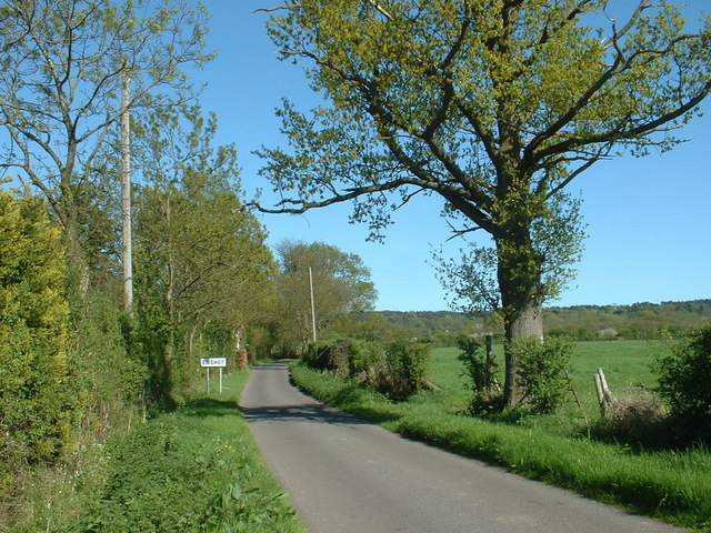
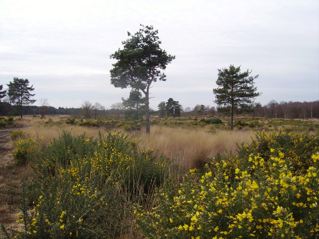
Beacon Hill, located in Hampshire, England, is a prominent hill that stands at an elevation of 280 meters (919 feet) above sea level. Situated within the South Downs National Park, it offers breathtaking panoramic views of the surrounding countryside. The hill is a popular destination for outdoor enthusiasts, nature lovers, and history buffs alike.
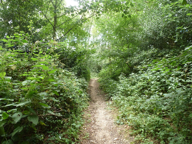
Covered with a mix of grassland, heathland, and woodland, Beacon Hill is home to a diverse range of flora and fauna. Nature enthusiasts can spot a variety of bird species, including skylarks, kestrels, and buzzards, as well as various butterflies and wildflowers during the warmer months.
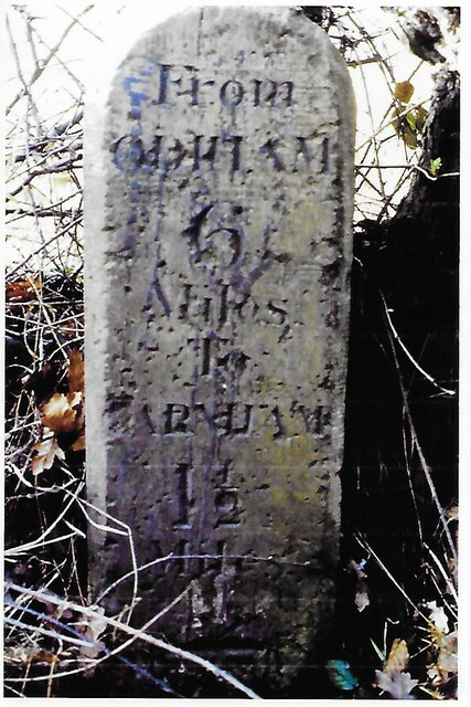
The area is also steeped in history, with evidence of human activity dating back to the Neolithic period. Archaeological findings suggest that Beacon Hill was once inhabited by early settlers, who used the hill as a vantage point for communication and signaling. In fact, the hill gets its name from the beacon that was historically lit at its summit to warn of approaching threats.
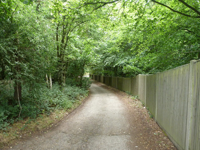
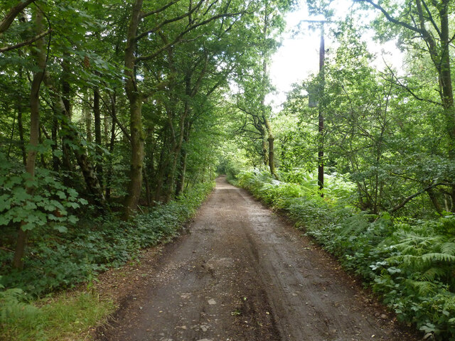
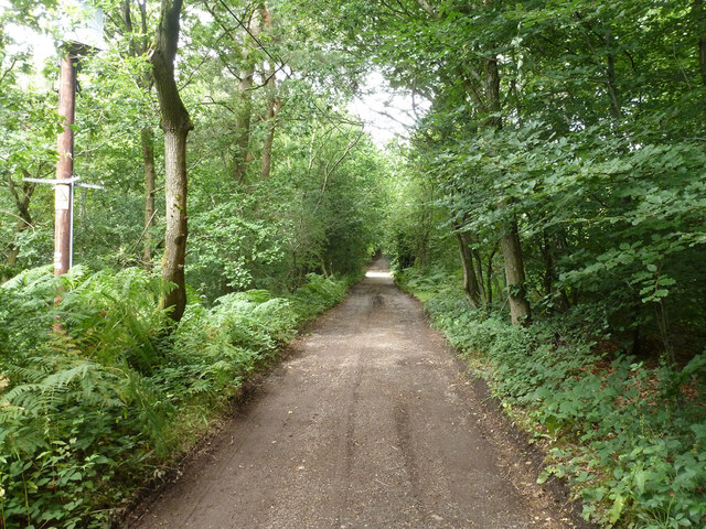
Today, visitors can explore the remnants of the beacon and learn about its significance through informative interpretive panels. There are also several walking trails that wind their way through the hill, allowing visitors to immerse themselves in its natural beauty while enjoying the stunning vistas.
To ensure the preservation of the area's rich biodiversity, Beacon Hill is managed by the South Downs National Park Authority, which works to maintain the delicate balance between conservation and recreational activities.
If you have any feedback on the listing, please let us know in the comments section below.
Beacon Hill Images
Images are sourced within 2km of 51.246145/-0.82146062 or Grid Reference SU8250. Thanks to Geograph Open Source API. All images are credited.


Beacon Hill is located at Grid Ref: SU8250 (Lat: 51.246145, Lng: -0.82146062)
Administrative County: Hampshire
District: Hart
Police Authority: Hampshire
What 3 Words
///traps.steep.iterative. Near Hale, Surrey
Nearby Locations
Related Wikis
Queen Elizabeth Barracks, Church Crookham
Queen Elizabeth Barracks was a military installation at Church Crookham, Hampshire, England. == History == The barracks, which were originally known as...
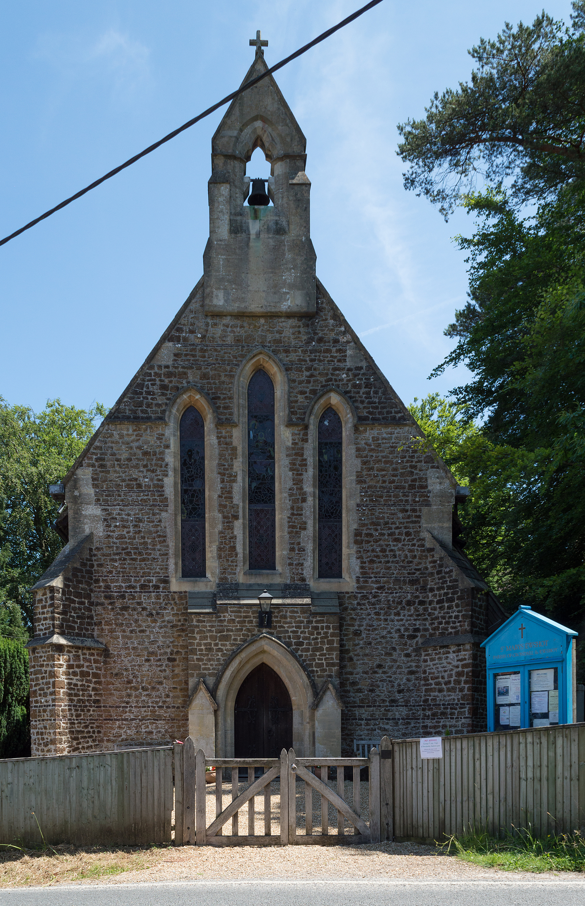
Ewshot
Ewshot is a village and civil parish in Hampshire, England. It lies in the north east of the county, close to the Surrey border. The name Ewshot comes...

Caesar's Camp, Rushmoor and Waverley
Caesar's Camp is an Iron Age hill fort straddling the border of the counties of Surrey and Hampshire in southern England. The fort straddles the borough...

Bourley and Long Valley
Bourley and Long Valley is a 823.5-hectare (2,035-acre) biological Site of Special Scientific Interest between Fleet and Aldershot in Hampshire. It is...
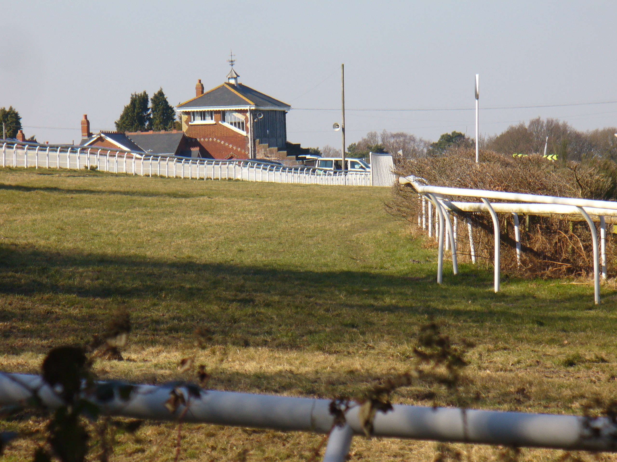
Tweseldown Racecourse
Tweseldown Racecourse southeast of Fleet, Hampshire was originally a National Hunt steeplechasing venue and the home of the equestrian dressage and eventing...
Castle Bottom to Yateley and Hawley Commons
Castle Bottom to Yateley and Hawley Commons is a 922.7-hectare (2,280-acre) biological Site of Special Scientific Interest north of Fleet in Hampshire...

Upper Hale Cemetery, Farnham
Upper Hale Cemetery (also known as Hale Cemetery) is the burial ground for the district of Hale in Farnham in Surrey. Hale grew rapidly after 1854 when...

St Nicholas' School, Hampshire
St Nicholas' School is a private day school for girls in Church Crookham, a village at the southern edge of Fleet, Hampshire, England. The school educates...
Nearby Amenities
Located within 500m of 51.246145,-0.82146062Have you been to Beacon Hill?
Leave your review of Beacon Hill below (or comments, questions and feedback).