Aunt's Pool Hill
Hill, Mountain in Hampshire Hart
England
Aunt's Pool Hill

Aunt's Pool Hill, located in Hampshire, England, is a prominent hill known for its scenic beauty and natural charm. Rising to an elevation of approximately 400 feet, it stands as a significant natural landmark in the area. The hill is situated within the South Downs National Park, which adds to its appeal among nature enthusiasts and hikers.
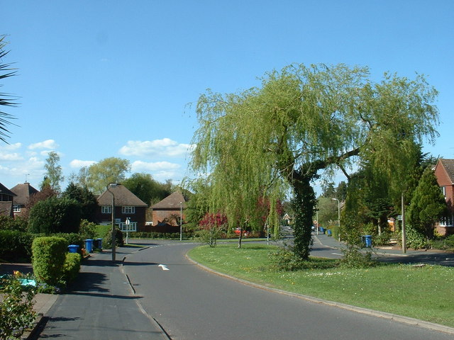
Aunt's Pool Hill offers breathtaking panoramic views of the surrounding countryside, including the nearby villages and rolling hills of Hampshire. The hilltop itself is covered in lush greenery, with a variety of trees and wildflowers adding to its picturesque setting. Visitors can witness the beauty of the changing seasons, as the hill becomes a vibrant tapestry of colors during spring and autumn.
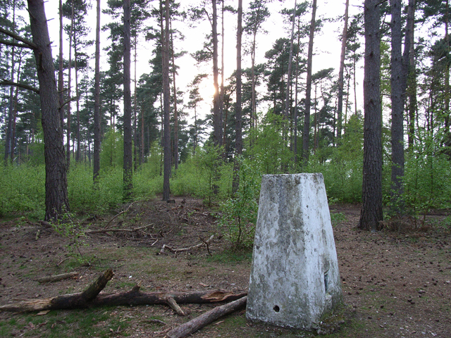
The hill is renowned for its walking trails, which cater to both experienced hikers and casual strollers. These well-maintained paths wind through the hill's wooded areas, providing opportunities for peaceful walks and invigorating hikes. The hill's diverse terrain also attracts birdwatchers, as numerous avian species can be spotted in the area.
For those seeking a moment of tranquility, Aunt's Pool Hill offers several peaceful spots for picnicking or simply enjoying the serenity of nature. The hill's idyllic setting is further enhanced by the presence of Aunt's Pool, a small pond located at its base. This pond, surrounded by reeds and aquatic plants, serves as a habitat for various aquatic creatures and adds to the overall charm of the hill.
Aunt's Pool Hill is not just a natural gem but also holds historical significance. It has been a site of human activity for centuries, with evidence of Iron Age settlements discovered in the vicinity. The hill's rich cultural heritage adds depth to its appeal, attracting history enthusiasts and archeology buffs.
In conclusion, Aunt's Pool Hill in Hampshire offers a captivating blend of natural beauty, recreational opportunities, and historical significance. Whether one seeks a leisurely walk, a hike through stunning landscapes, or a glimpse into the
If you have any feedback on the listing, please let us know in the comments section below.
Aunt's Pool Hill Images
Images are sourced within 2km of 51.263109/-0.82106987 or Grid Reference SU8252. Thanks to Geograph Open Source API. All images are credited.


Aunt's Pool Hill is located at Grid Ref: SU8252 (Lat: 51.263109, Lng: -0.82106987)
Administrative County: Hampshire
District: Hart
Police Authority: Hampshire
What 3 Words
///chain.whizzing.redeeming. Near Fleet, Hampshire
Nearby Locations
Related Wikis
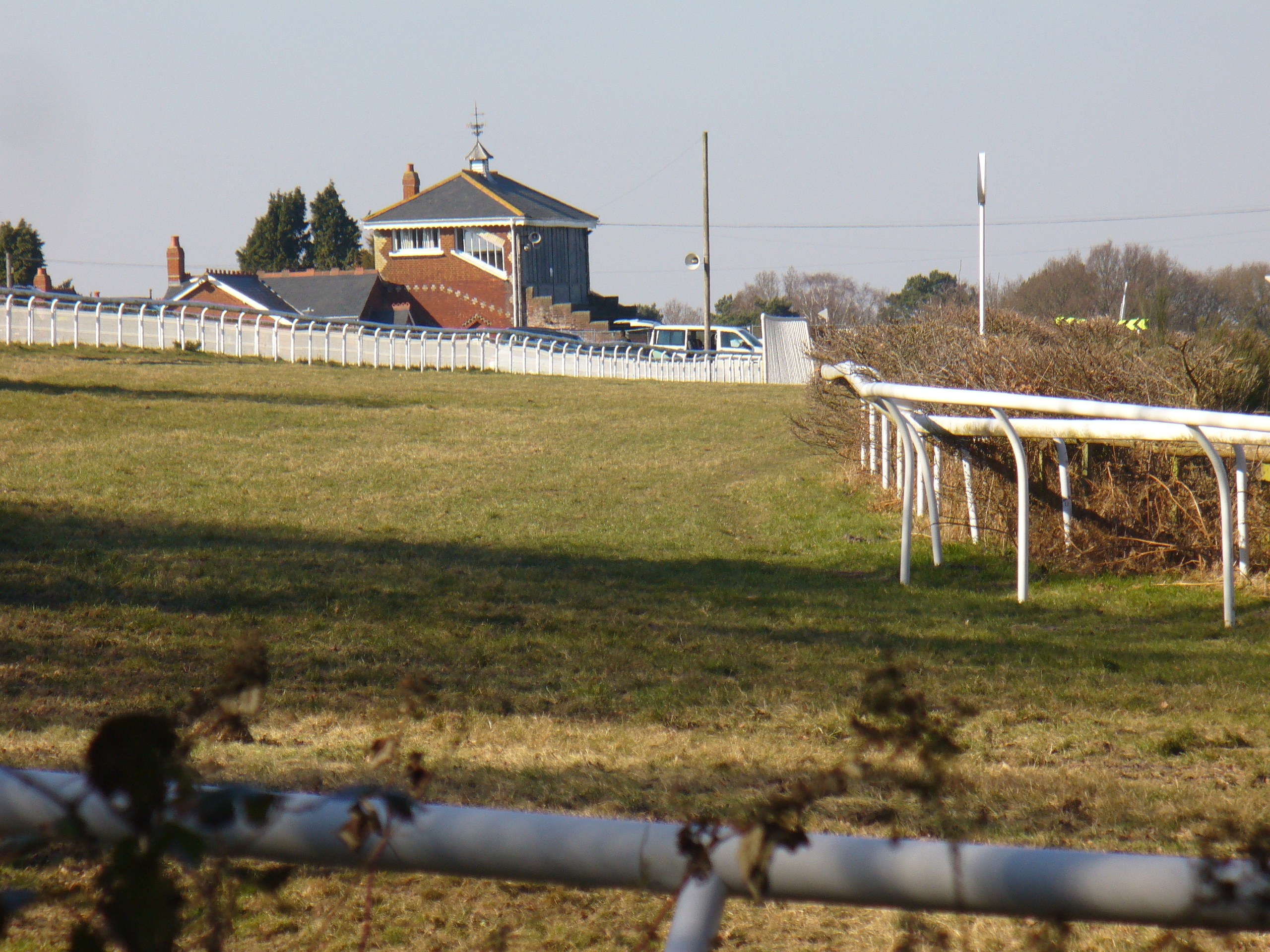
Tweseldown Racecourse
Tweseldown Racecourse southeast of Fleet, Hampshire was originally a National Hunt steeplechasing venue and the home of the equestrian dressage and eventing...
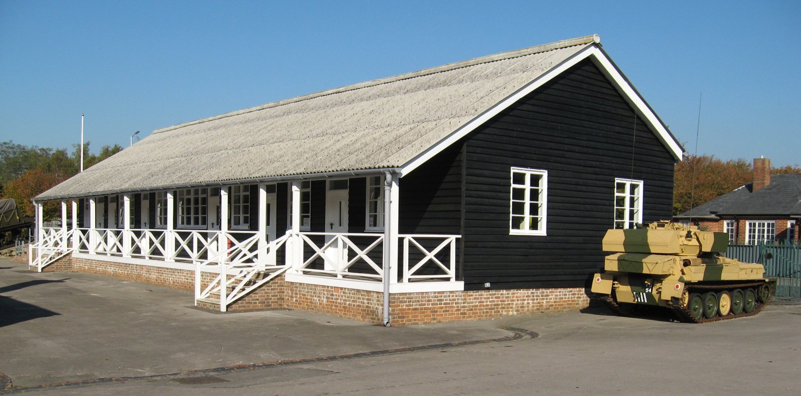
Queen Elizabeth Barracks, Church Crookham
Queen Elizabeth Barracks was a military installation at Church Crookham, Hampshire, England. == History == The barracks, which were originally known as...

Church Crookham
Church Crookham is a large suburban village and civil parish, contiguous with the town of Fleet, in northeast Hampshire, England. It is 38 miles (61 km...

Bourley and Long Valley
Bourley and Long Valley is a 823.5-hectare (2,035-acre) biological Site of Special Scientific Interest between Fleet and Aldershot in Hampshire. It is...
Court Moor School
Court Moor School is one of two secondary schools in the town of Fleet, in Hampshire (UK) for pupils aged 11–16. == History == The 15.7-acre (64,000 m2...

Eelmoor Marsh
Eelmoor Marsh is a 66.3-hectare (164-acre) biological Site of Special Scientific Interest between Fleet and Farnborough in Hampshire. It is part of Thames...
Farnborough North End F.C.
Farnborough North End Football Club is a football club based in Farnborough, Hampshire. They are currently members of the Guildford & Woking Alliance Division...
National Gas Turbine Establishment
The National Gas Turbine Establishment (NGTE Pyestock) in Farnborough, part of the Royal Aircraft Establishment (RAE), was the prime site in the UK for...
Nearby Amenities
Located within 500m of 51.263109,-0.82106987Have you been to Aunt's Pool Hill?
Leave your review of Aunt's Pool Hill below (or comments, questions and feedback).