Beaconhill Copse
Wood, Forest in Hampshire Hart
England
Beaconhill Copse
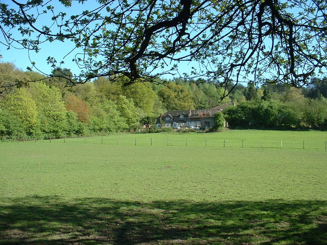
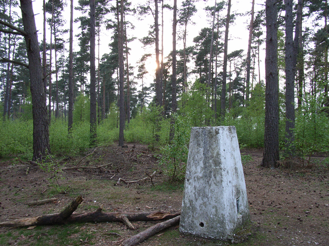
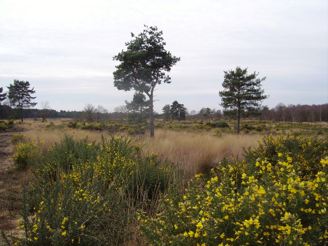
Beaconhill Copse is a stunning wood located in Hampshire, England. Covering an area of approximately 58 hectares, this ancient woodland is a haven for nature lovers and outdoor enthusiasts. The copse is situated on a ridge, offering breathtaking panoramic views of the surrounding countryside.
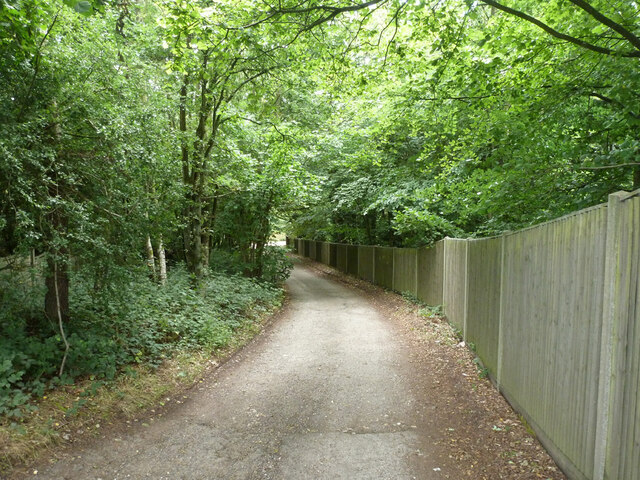
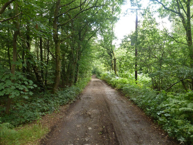
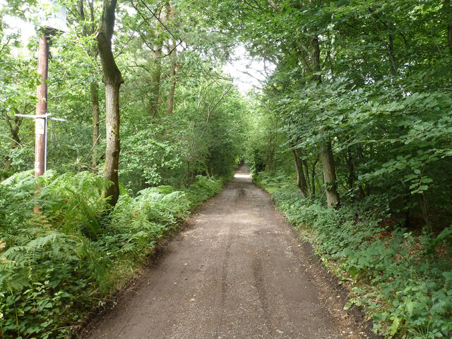
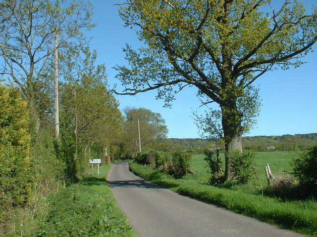
The woodland is predominantly composed of beech trees, which form a dense canopy that filters the sunlight and creates a cool and tranquil atmosphere. The floor of the copse is covered in a rich carpet of bluebells, wild garlic, and ferns, adding to its natural beauty. Numerous walking trails wind their way through the wood, allowing visitors to explore at their own pace. These paths are well-maintained and suitable for all ages and abilities.
Beaconhill Copse is home to a diverse range of wildlife. Birds such as woodpeckers, chiffchaffs, and tawny owls can be spotted among the treetops, while deer, foxes, and badgers roam the forest floor. The copse is also a haven for butterflies and insects, with many rare species making their home here.
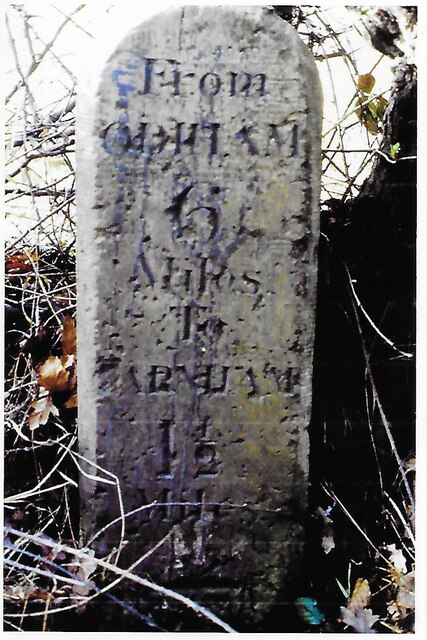
In addition to its natural beauty, Beaconhill Copse has historical significance. It is believed that the woodland has been continuously wooded for at least 400 years, and possibly much longer. The copse was once part of the ancient royal forest of Bere, which covered a vast area of Hampshire.
Visiting Beaconhill Copse offers a unique opportunity to immerse oneself in nature, relax, and enjoy the tranquility of this ancient woodland. Whether it is a leisurely stroll, birdwatching, or simply picnicking amidst the beauty of nature, Beaconhill Copse is a must-visit destination for anyone seeking a peaceful and natural escape.
If you have any feedback on the listing, please let us know in the comments section below.
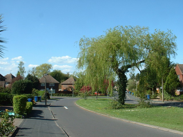
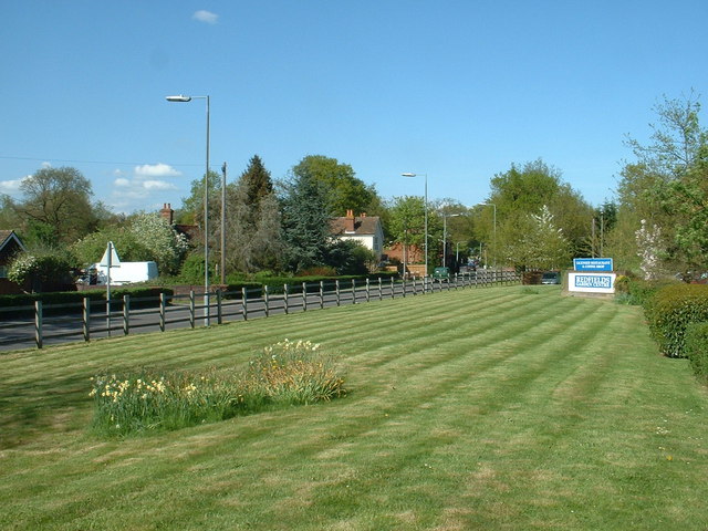
Beaconhill Copse Images
Images are sourced within 2km of 51.250463/-0.8207771 or Grid Reference SU8250. Thanks to Geograph Open Source API. All images are credited.


Beaconhill Copse is located at Grid Ref: SU8250 (Lat: 51.250463, Lng: -0.8207771)
Administrative County: Hampshire
District: Hart
Police Authority: Hampshire
What 3 Words
///chosen.feed.when. Near Hale, Surrey
Related Wikis
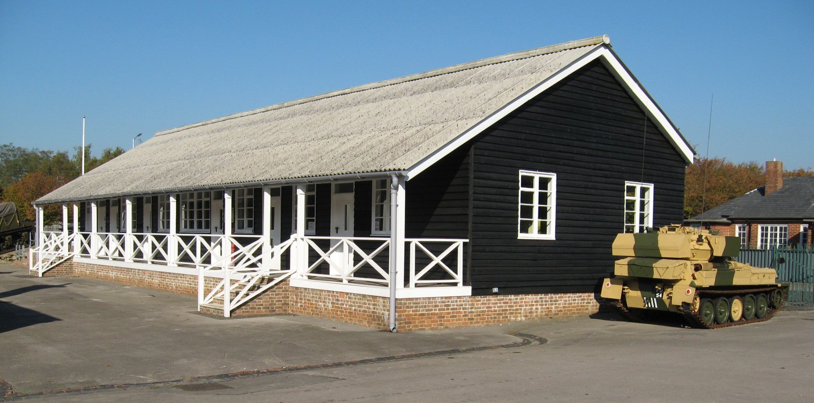
Queen Elizabeth Barracks, Church Crookham
Queen Elizabeth Barracks was a military installation at Church Crookham, Hampshire, England. == History == The barracks, which were originally known as...
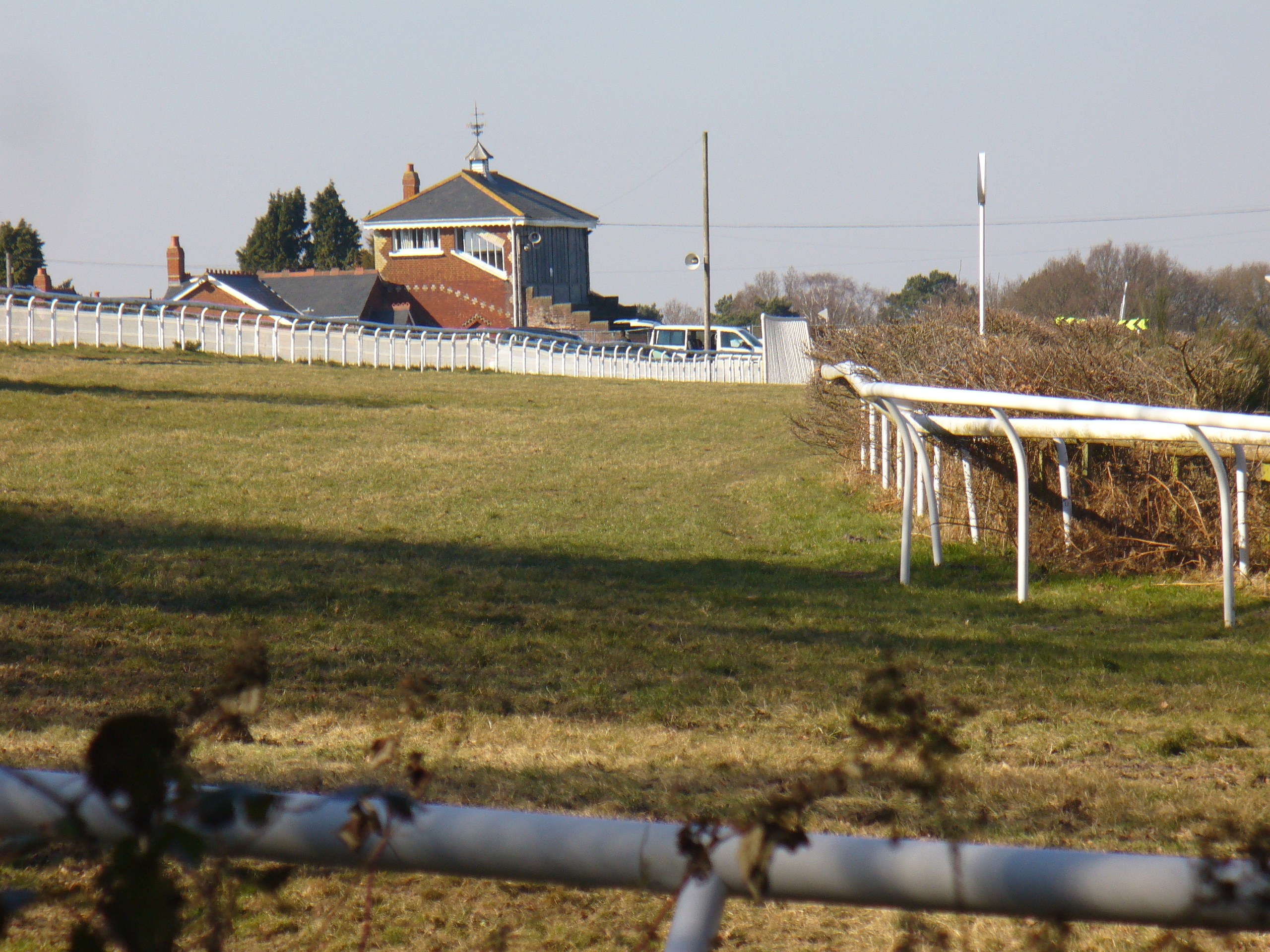
Tweseldown Racecourse
Tweseldown Racecourse southeast of Fleet, Hampshire was originally a National Hunt steeplechasing venue and the home of the equestrian dressage and eventing...

Bourley and Long Valley
Bourley and Long Valley is a 823.5-hectare (2,035-acre) biological Site of Special Scientific Interest between Fleet and Aldershot in Hampshire. It is...

Caesar's Camp, Rushmoor and Waverley
Caesar's Camp is an Iron Age hill fort straddling the border of the counties of Surrey and Hampshire in southern England. The fort straddles the borough...
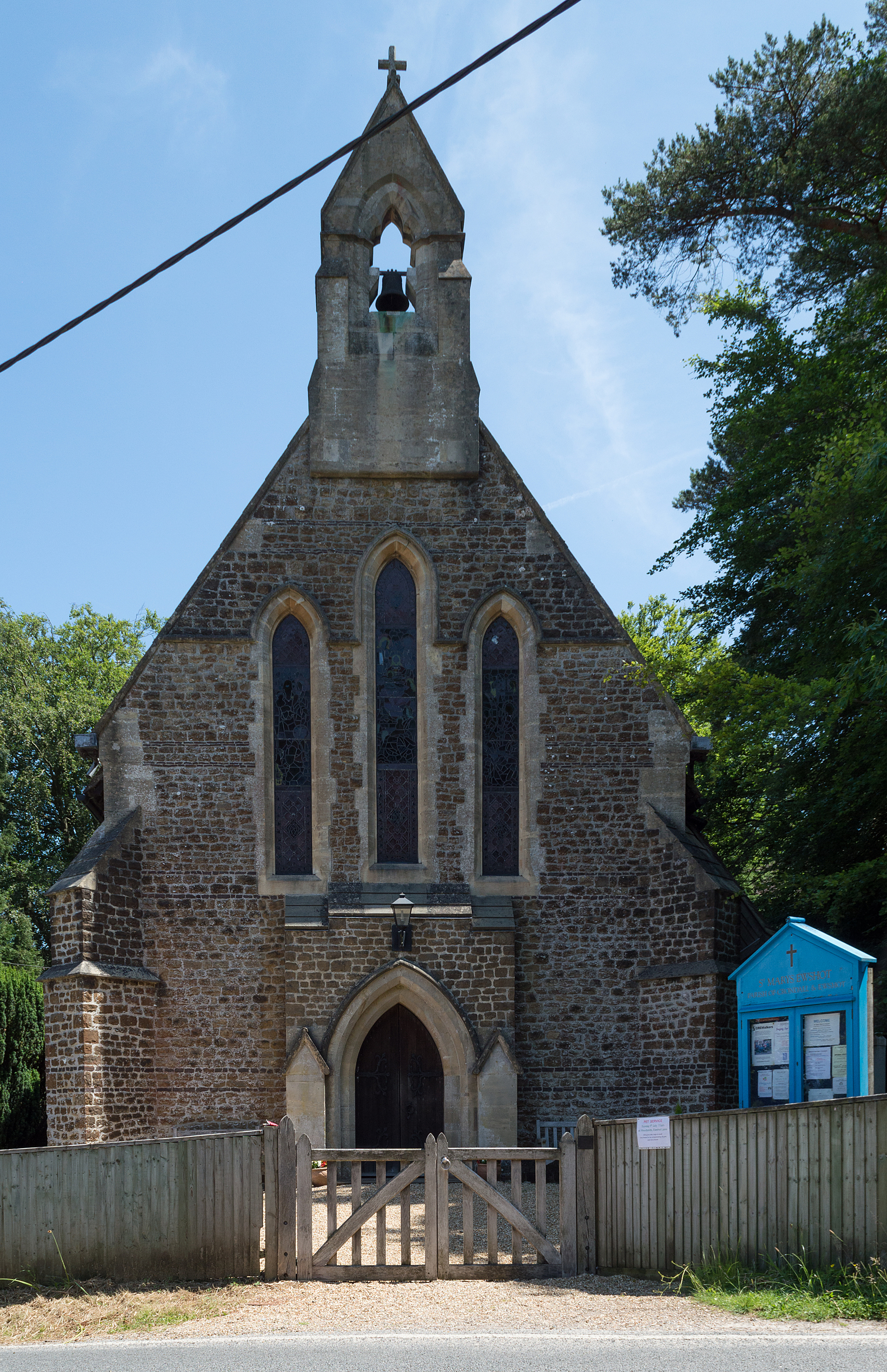
Ewshot
Ewshot is a village and civil parish in Hampshire, England. It lies in the north east of the county, close to the Surrey border. The name Ewshot comes...

Church Crookham
Church Crookham is a large suburban village and civil parish, contiguous with the town of Fleet, in northeast Hampshire, England. It is 38 miles (61 km...

Upper Hale Cemetery, Farnham
Upper Hale Cemetery (also known as Hale Cemetery) is the burial ground for the district of Hale in Farnham in Surrey. Hale grew rapidly after 1854 when...
Castle Bottom to Yateley and Hawley Commons
Castle Bottom to Yateley and Hawley Commons is a 922.7-hectare (2,280-acre) biological Site of Special Scientific Interest north of Fleet in Hampshire...
Nearby Amenities
Located within 500m of 51.250463,-0.8207771Have you been to Beaconhill Copse?
Leave your review of Beaconhill Copse below (or comments, questions and feedback).