Reservoir Number 1
Lake, Pool, Pond, Freshwater Marsh in Hampshire Hart
England
Reservoir Number 1
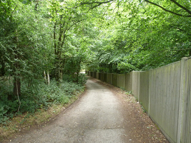
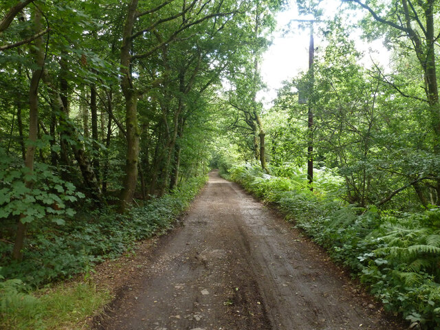
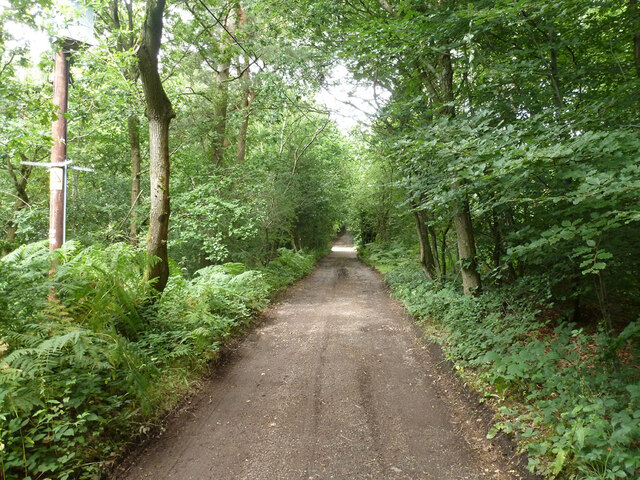
Reservoir Number 1, located in Hampshire, is a man-made freshwater body known for its picturesque beauty and ecological importance. Spanning over a vast area, it is often referred to as a lake due to its large size and depth. The reservoir was created in the early 20th century to provide a reliable water supply to the surrounding area.
This reservoir is surrounded by lush greenery and offers a tranquil atmosphere for visitors. The water is crystal clear, reflecting the surrounding landscape and creating a stunning vista. Its deep blue hue adds to its allure, attracting nature enthusiasts, photographers, and locals alike.
The reservoir serves as a vital habitat for various wildlife species. The freshwater marshes around its edges provide a sanctuary for numerous waterfowl, including ducks, geese, and swans. These marshlands also support a diverse range of aquatic plants, creating a rich ecosystem that supports a wide array of animal life.
The reservoir provides recreational opportunities for visitors, such as fishing, boating, and picnicking. Anglers are attracted to the reservoir's diverse fish population, which includes species like trout, pike, and perch. Boating enthusiasts can enjoy the calm waters, while families can relax on the grassy shores and indulge in a picnic while taking in the scenic views.
Overall, Reservoir Number 1 in Hampshire is not only a visually appealing destination but also serves as an important ecological hotspot. Its combination of natural beauty, recreational opportunities, and wildlife habitat make it a cherished location for both locals and tourists alike.
If you have any feedback on the listing, please let us know in the comments section below.
Reservoir Number 1 Images
Images are sourced within 2km of 51.248675/-0.81649572 or Grid Reference SU8250. Thanks to Geograph Open Source API. All images are credited.


Reservoir Number 1 is located at Grid Ref: SU8250 (Lat: 51.248675, Lng: -0.81649572)
Administrative County: Hampshire
District: Hart
Police Authority: Hampshire
What 3 Words
///hypnotist.pills.spoons. Near Hale, Surrey
Related Wikis

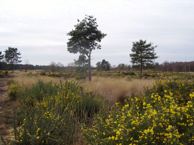
Bourley and Long Valley
Bourley and Long Valley is a 823.5-hectare (2,035-acre) biological Site of Special Scientific Interest between Fleet and Aldershot in Hampshire. It is...

Caesar's Camp, Rushmoor and Waverley
Caesar's Camp is an Iron Age hill fort straddling the border of the counties of Surrey and Hampshire in southern England. The fort straddles the borough...
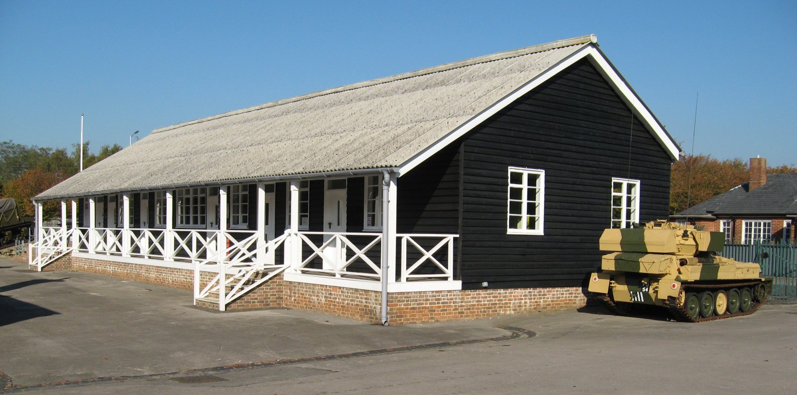
Queen Elizabeth Barracks, Church Crookham
Queen Elizabeth Barracks was a military installation at Church Crookham, Hampshire, England. == History == The barracks, which were originally known as...
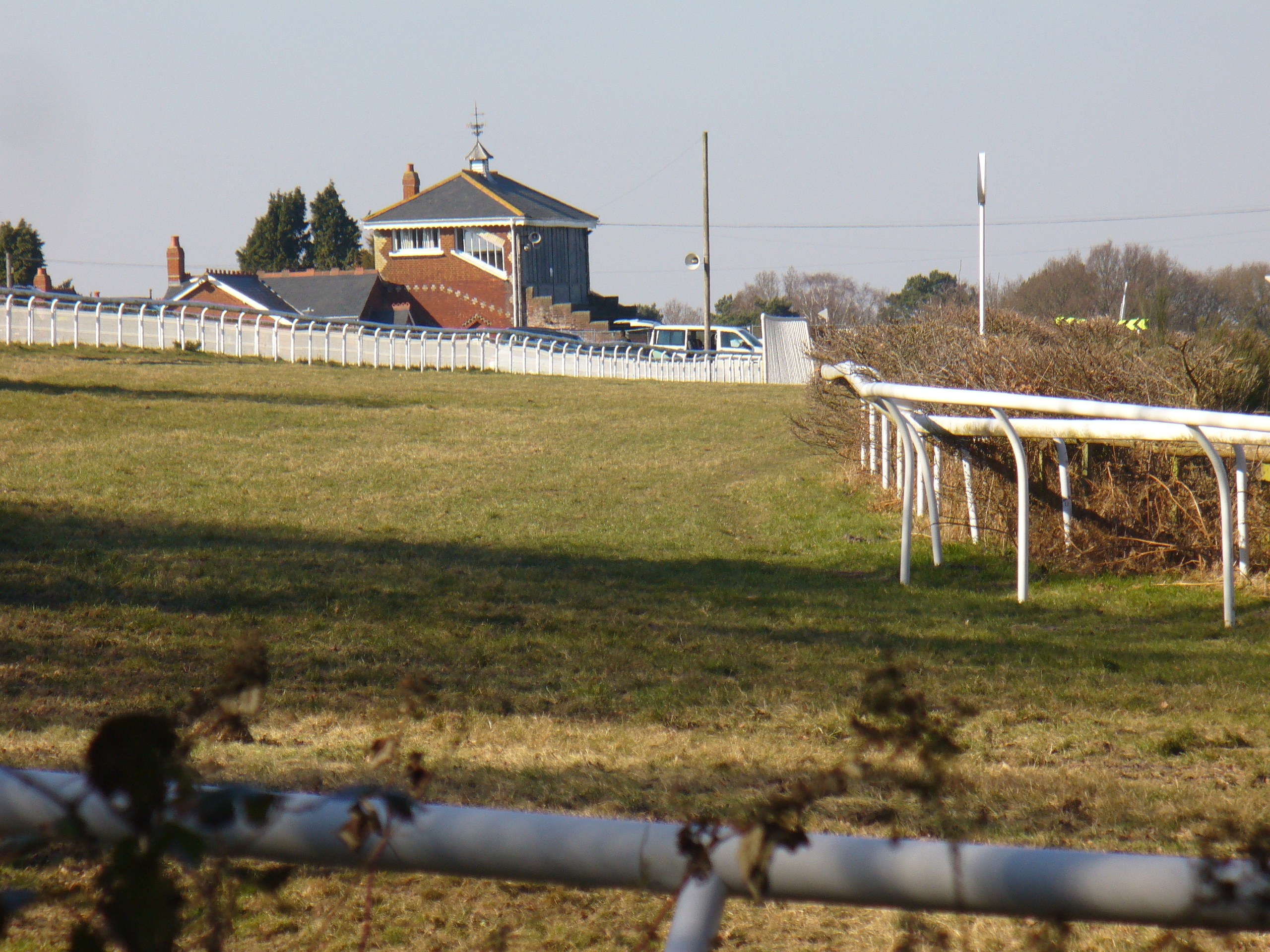
Tweseldown Racecourse
Tweseldown Racecourse southeast of Fleet, Hampshire was originally a National Hunt steeplechasing venue and the home of the equestrian dressage and eventing...
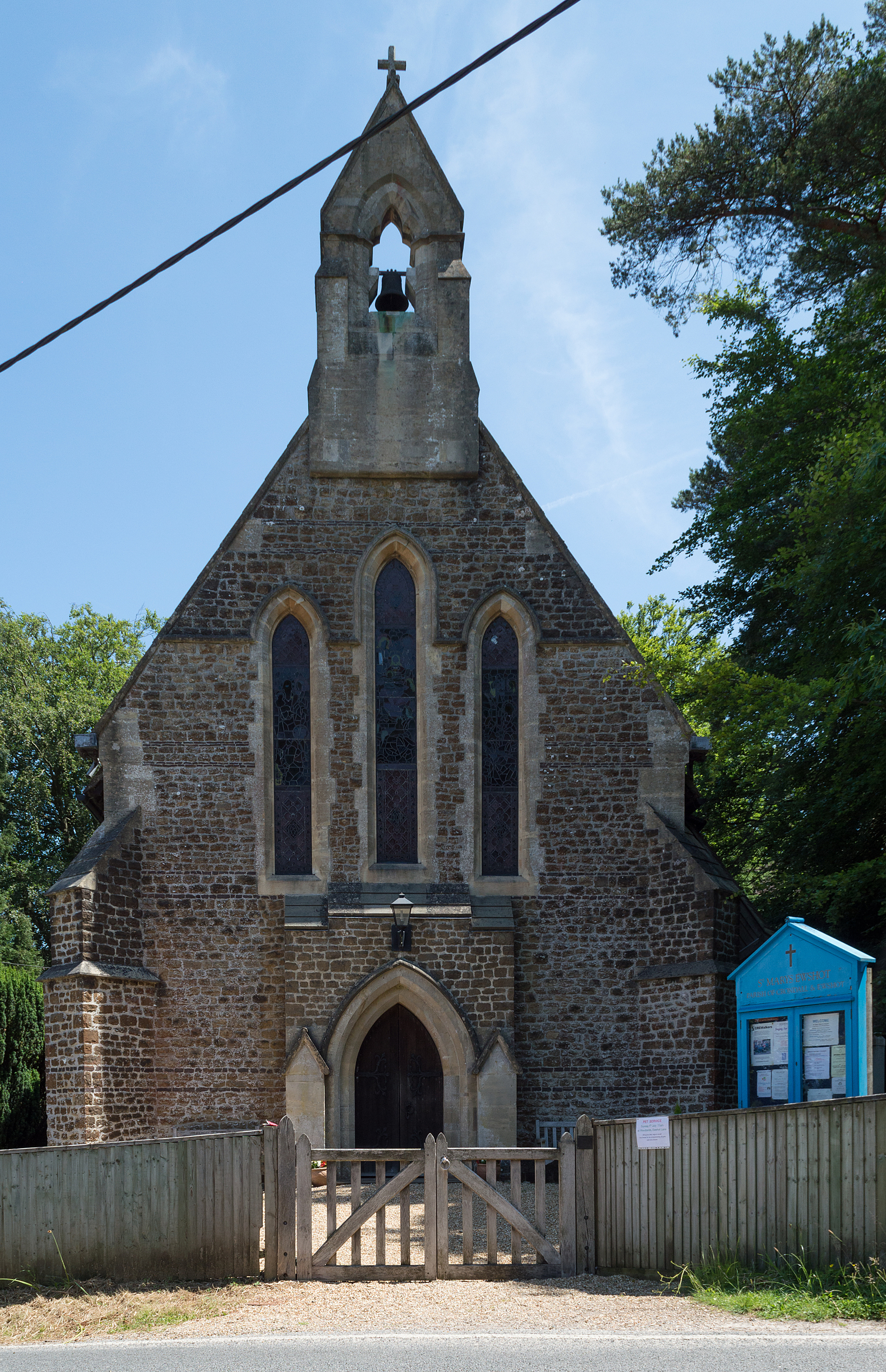
Ewshot
Ewshot is a village and civil parish in Hampshire, England. It lies in the north east of the county, close to the Surrey border. The name Ewshot comes...

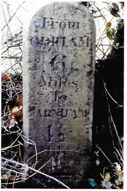
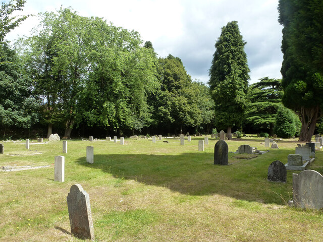
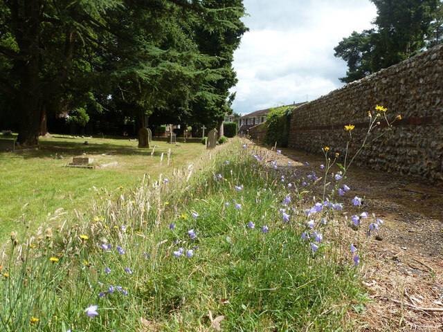
Upper Hale Cemetery, Farnham
Upper Hale Cemetery (also known as Hale Cemetery) is the burial ground for the district of Hale in Farnham in Surrey. Hale grew rapidly after 1854 when...
Castle Bottom to Yateley and Hawley Commons
Castle Bottom to Yateley and Hawley Commons is a 922.7-hectare (2,280-acre) biological Site of Special Scientific Interest north of Fleet in Hampshire...

Royal Pavilion, Aldershot
The Royal Pavilion, also known as the Queen's Pavilion, was a royal residence located at Aldershot in Hampshire. The most unpretentious of all royal residences...
Nearby Amenities
Located within 500m of 51.248675,-0.81649572Have you been to Reservoir Number 1?
Leave your review of Reservoir Number 1 below (or comments, questions and feedback).