Bourley Bottom
Valley in Hampshire Hart
England
Bourley Bottom
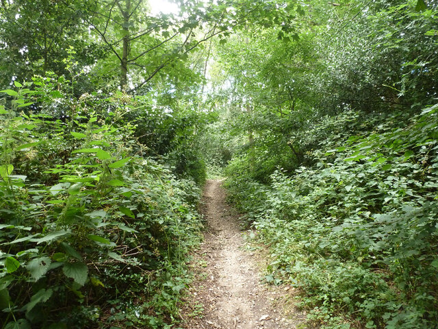
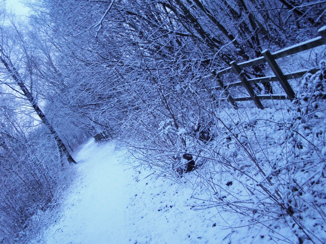
Bourley Bottom is a picturesque valley located in the county of Hampshire, England. Nestled amidst the rolling hills of the South Downs, this charming rural area attracts visitors with its natural beauty and tranquil atmosphere.
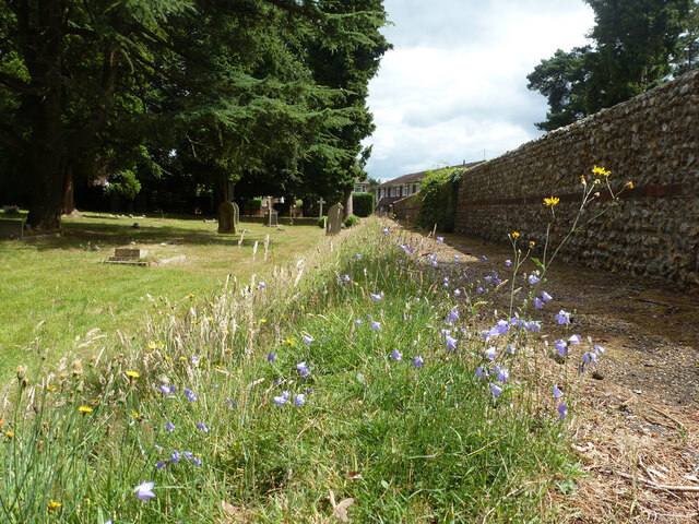
The valley is bordered by lush green fields and meadows, dotted with grazing sheep and cows. It is characterized by a small river that meanders through the landscape, creating a sense of serenity and providing a habitat for various wildlife species.
The area is known for its diverse flora and fauna, with an abundance of wildflowers, trees, and shrubs. Visitors can expect to encounter an array of bird species, such as skylarks and pheasants, as well as small mammals like rabbits and squirrels.
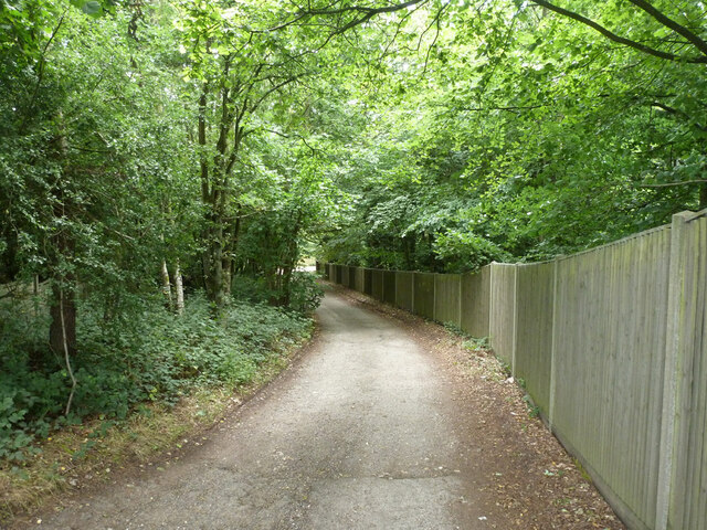
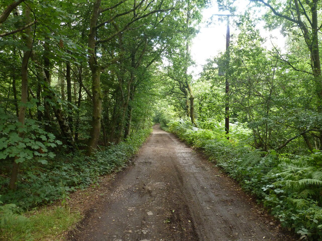
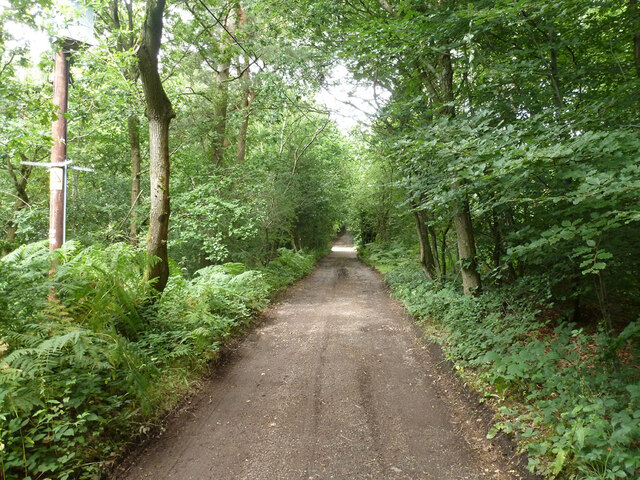
Bourley Bottom offers numerous walking and hiking trails, allowing visitors to explore the valley's stunning surroundings. The paths wind through wooded areas, offering glimpses of the valley from different vantage points. The terrain is relatively easy to navigate, making it accessible for people of all ages and fitness levels.
In addition to its natural beauty, Bourley Bottom boasts historical significance. The valley is home to several ancient burial sites and archaeological remains, providing insight into the area's rich history. These remnants offer a glimpse into the lives of the people who once inhabited this land.
Overall, Bourley Bottom is a hidden gem in Hampshire, offering visitors a peaceful retreat surrounded by nature's beauty. Whether it's for a leisurely walk, birdwatching, or exploring the region's history, this valley provides a delightful experience for all who venture into its embrace.
If you have any feedback on the listing, please let us know in the comments section below.
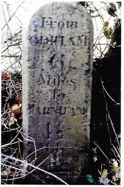
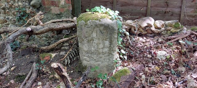
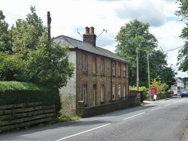
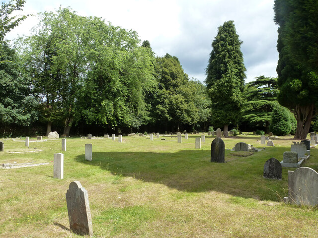
Bourley Bottom Images
Images are sourced within 2km of 51.247875/-0.81376532 or Grid Reference SU8250. Thanks to Geograph Open Source API. All images are credited.


Bourley Bottom is located at Grid Ref: SU8250 (Lat: 51.247875, Lng: -0.81376532)
Administrative County: Hampshire
District: Hart
Police Authority: Hampshire
What 3 Words
///enabling.pulse.segregate. Near Hale, Surrey
Related Wikis

Caesar's Camp, Rushmoor and Waverley
Caesar's Camp is an Iron Age hill fort straddling the border of the counties of Surrey and Hampshire in southern England. The fort straddles the borough...

Bourley and Long Valley
Bourley and Long Valley is a 823.5-hectare (2,035-acre) biological Site of Special Scientific Interest between Fleet and Aldershot in Hampshire. It is...
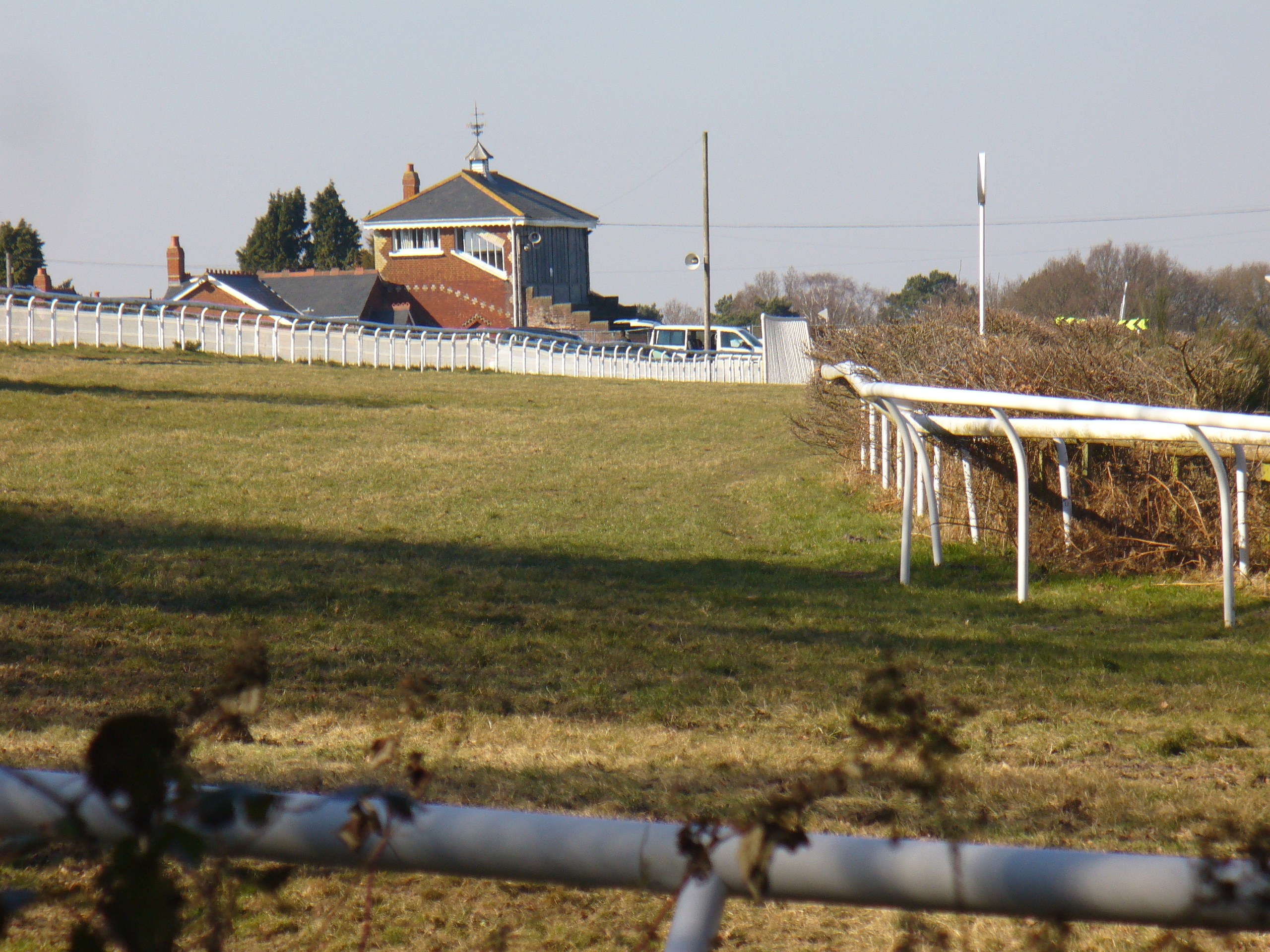
Tweseldown Racecourse
Tweseldown Racecourse southeast of Fleet, Hampshire was originally a National Hunt steeplechasing venue and the home of the equestrian dressage and eventing...
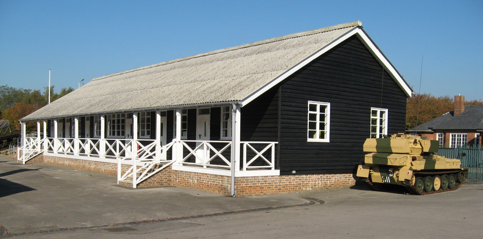
Queen Elizabeth Barracks, Church Crookham
Queen Elizabeth Barracks was a military installation at Church Crookham, Hampshire, England. == History == The barracks, which were originally known as...
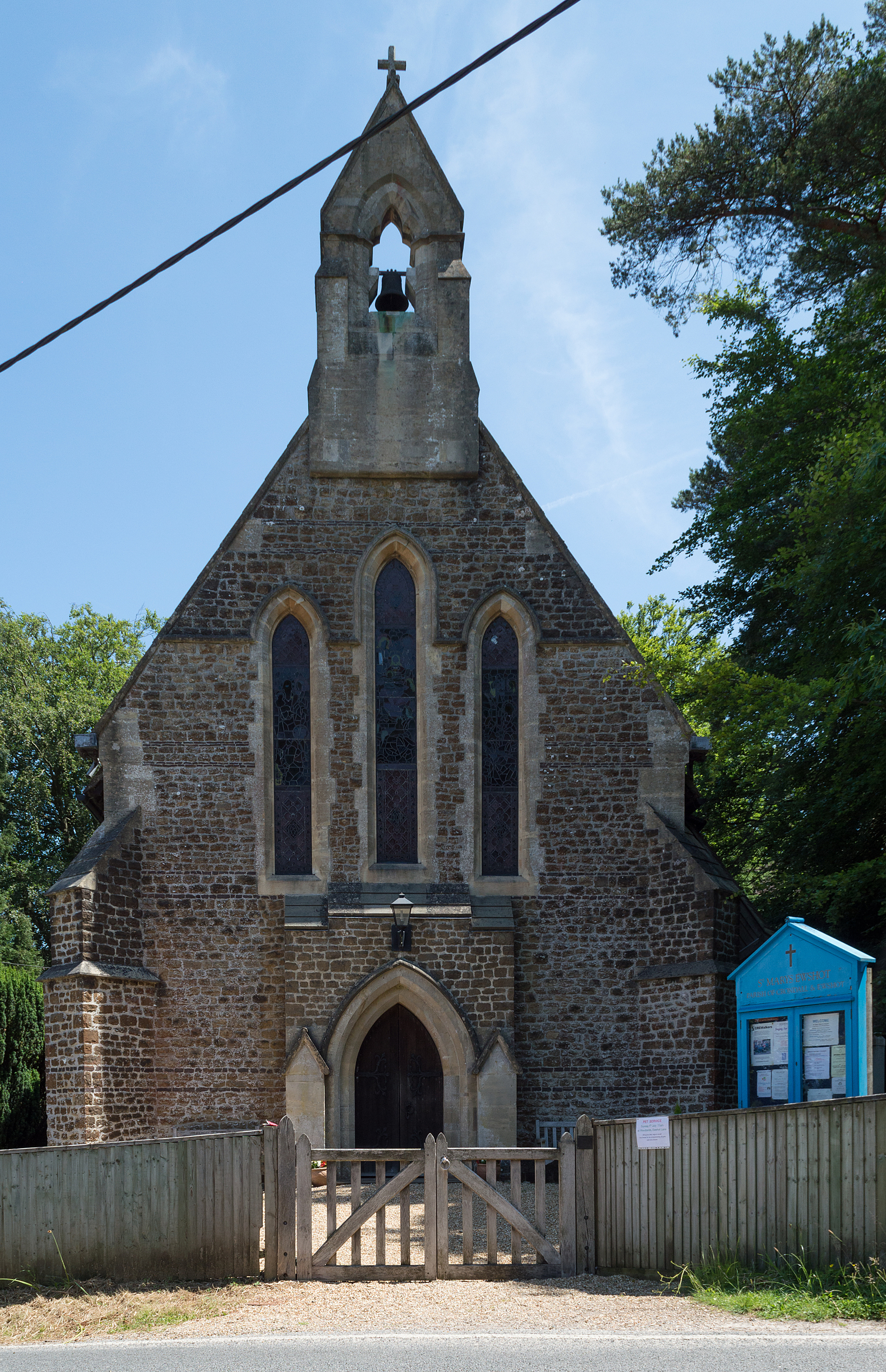
Ewshot
Ewshot is a village and civil parish in Hampshire, England. It lies in the north east of the county, close to the Surrey border. The name Ewshot comes...

Upper Hale Cemetery, Farnham
Upper Hale Cemetery (also known as Hale Cemetery) is the burial ground for the district of Hale in Farnham in Surrey. Hale grew rapidly after 1854 when...

Royal Pavilion, Aldershot
The Royal Pavilion, also known as the Queen's Pavilion, was a royal residence located at Aldershot in Hampshire. The most unpretentious of all royal residences...
Blackwater Valley Path
The Blackwater Valley Path follows the River Blackwater from its source in the Rowhill Nature Reserve in Aldershot to just beyond the point where it...
Nearby Amenities
Located within 500m of 51.247875,-0.81376532Have you been to Bourley Bottom?
Leave your review of Bourley Bottom below (or comments, questions and feedback).