Ashley Hill

Hill, Mountain in Berkshire

England

Ashley Hill

Redroofs, Ivor Novello's former home Also see <span class="nowrap"><a title="https://en.wikipedia.org/wiki/Ivor_Novello" rel="nofollow ugc noopener" href="https://en.wikipedia.org/wiki/Ivor_Novello">Link</a><img style="margin-left:2px;" alt="External link" title="External link - shift click to open in new window" src="https://s1.geograph.org.uk/img/external.png" width="10" height="10"/></span>
Redroofs, Ivor Novello's former home Credit: Basher Eyre

Ashley Hill is a prominent natural landmark located in Berkshire, England. It is classified as a hill rather than a mountain, as its elevation does not reach the minimum height required for the latter designation. However, its scenic beauty and geological significance make it an important attraction in the region.

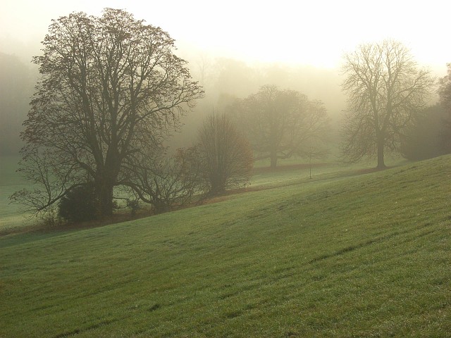
Situated in the southern part of Berkshire, Ashley Hill offers breathtaking panoramic views of the surrounding countryside. The hill is covered in lush greenery, with a variety of plant species dotting its slopes. The landscape is diverse, featuring rolling meadows, woodland areas, and picturesque valleys.

The summit of Ashley Hill provides visitors with a stunning vantage point, offering unobstructed views of the Berkshire countryside and beyond. On clear days, it is possible to see as far as the North Wessex Downs and the Chiltern Hills. This makes it a popular spot for hikers, nature enthusiasts, and photographers alike.

Geologically, Ashley Hill is composed of chalk, which is a soft, white sedimentary rock formed from the remains of marine organisms. This type of rock gives the hill its characteristic white appearance, especially when viewed from a distance. The chalky soils also contribute to the fertility of the surrounding farmland.

In addition to its natural beauty, Ashley Hill is home to a variety of wildlife, including birds, small mammals, and insects. It provides a habitat for several rare and protected species, making it of ecological importance.

Overall, Ashley Hill in Berkshire is a captivating natural landmark that offers visitors a chance to connect with nature, enjoy scenic views, and appreciate the geological diversity of the region.

If you have any feedback on the listing, please let us know in the comments section below.
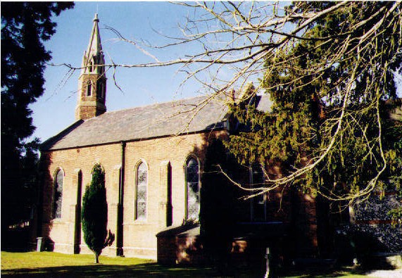
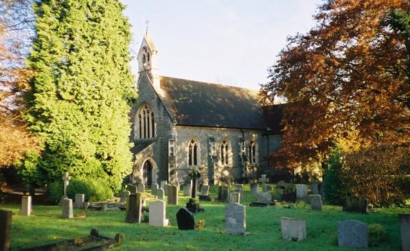
Ashley Hill Images

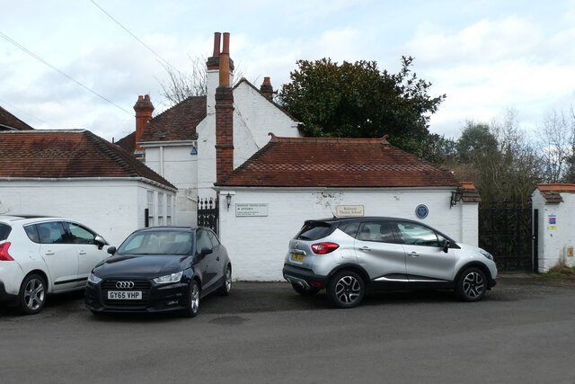
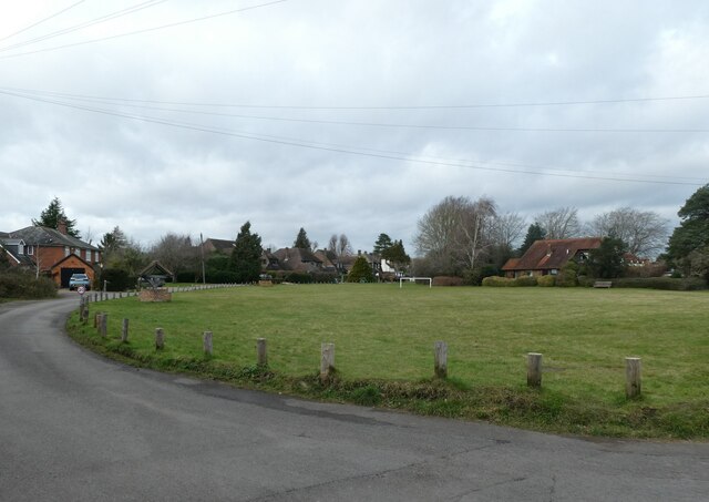
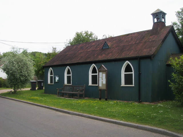
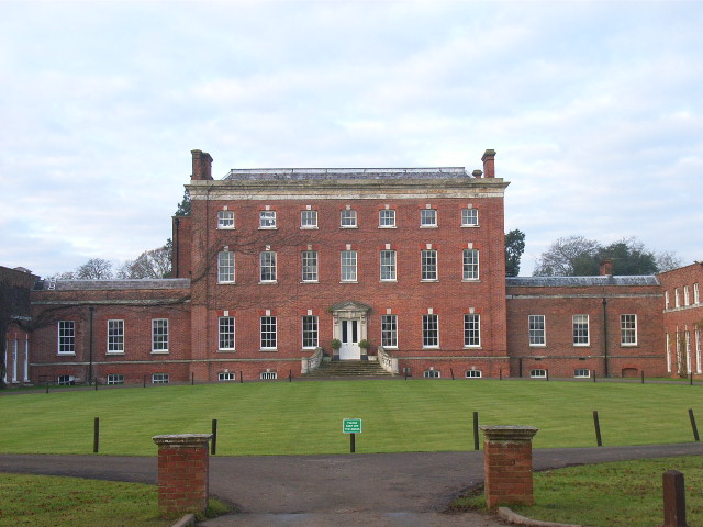
Images are sourced within 2km of 51.522842/-0.81369853 or Grid Reference SU8281. Thanks to Geograph Open Source API. All images are credited.

Redroofs, Ivor Novello's former home Also see <span class="nowrap"><a title="https://en.wikipedia.org/wiki/Ivor_Novello" rel="nofollow ugc noopener" href="https://en.wikipedia.org/wiki/Ivor_Novello">Link</a><img style="margin-left:2px;" alt="External link" title="External link - shift click to open in new window" src="https://s1.geograph.org.uk/img/external.png" width="10" height="10"/></span>
Redroofs, Ivor Novello's former home
Also see LinkExternal link
Looking down Knowl Hill Common towards Bath Road
Traffic jam in Littlewick Green The traditional view of a village green is a mowed space on which cricket matches are played, and maypoles are danced around, with well-placed benches, serving as a meeting place and forming the heart of a rural community. The origin of the village green lies in customary rights. Though technically originally a trespass, or carried out with the permission of the Lord of the manor, these rights became customary and enforceable through the courts.In the 19th century, it was the practice of Inclosure Commissioners to allot parcels of land to the villagers themselves. The Commons Registration Act of 1965  identified three classes of greens. Once registered, they could never be built upon
Traffic jam in Littlewick Green
The traditional view of a village green is a mowed space on which cricket matches are played, and maypoles are danced around, with well-placed benches, serving as a meeting place and forming the heart of a rural community. The origin of the village green lies in customary rights. Though technically originally a trespass, or carried out with the permission of the Lord of the manor, these rights became customary and enforceable through the courts.In the 19th century, it was the practice of Inclosure Commissioners to allot parcels of land to the villagers themselves. The Commons Registration Act of 1965 identified three classes of greens. Once registered, they could never be built upon
Looking towards the Royal Oak on Knowl Hill Common
St Peter, Knowl Hill: early February 2022
St Peter, Knowl Hill: churchyard
Star Lane at the junction of Bath Road
Bowsey Hill to Knowl Hill and Star Works sand pit: aerial 2016
Star Works sand pit: aerial 2016
Minor Rural Road Bottle Lane has passing places.
Minor Rural Road
Bottle Lane has passing places.
Doing up the old Seven Stars After several years of standing empty and looking very run down, the old Seven Stars pub and its outbuildings are at last being renovated.
Sad to see all these pubs going, but at least it's an improvement on this view from 2014 <a href="https://www.geograph.org.uk/photo/4200140">SU8279 : Stable block to former Seven Stars pub</a>
Now, according to the sign, it's "Two delightful properties converted from the former Coach House to an exacting specification"
What old stuff these agents do talk....
Doing up the old Seven Stars
After several years of standing empty and looking very run down, the old Seven Stars pub and its outbuildings are at last being renovated. Sad to see all these pubs going, but at least it's an improvement on this view from 2014 SU8279 : Stable block to former Seven Stars pub Now, according to the sign, it's "Two delightful properties converted from the former Coach House to an exacting specification" What old stuff these agents do talk....
New trees around the pit An old sand pit is being used for landfill. There's not a lot to see behind these earth banks, and when the trees have grown there will be even less. 
Although these specimens don't look too healthy.
New trees around the pit
An old sand pit is being used for landfill. There's not a lot to see behind these earth banks, and when the trees have grown there will be even less. Although these specimens don't look too healthy.
Landfill Pit Entrance An old quarry is being used for waste disposal.
Landfill Pit Entrance
An old quarry is being used for waste disposal.
Knowl Hill : Bath Road A4 Heading along Bath Road through Knowl Hill.
Knowl Hill : Bath Road A4
Heading along Bath Road through Knowl Hill.
Knowl Hill : Star Lane Looking along Star Lane from Bath Road.
Knowl Hill : Star Lane
Looking along Star Lane from Bath Road.
Knowl Hill : David Hunt Tools Ltd Looking towards David Hunt Tools on Bath Road.
Knowl Hill : David Hunt Tools Ltd
Looking towards David Hunt Tools on Bath Road.
Knowl Hill : Bath Road A4 Looking along Bath Road.
Knowl Hill : Bath Road A4
Looking along Bath Road.
Knowl Hill : Bath Road A4 Looking along Bath Road.
Knowl Hill : Bath Road A4
Looking along Bath Road.
Show me another place!

Ashley Hill is located at Grid Ref: SU8281 (Lat: 51.522842, Lng: -0.81369853)

Unitary Authority: Windsor and Maidenhead

Police Authority: Thames Valley

What 3 Words

///full.pulps.vibrate. Near Hurley, Berkshire
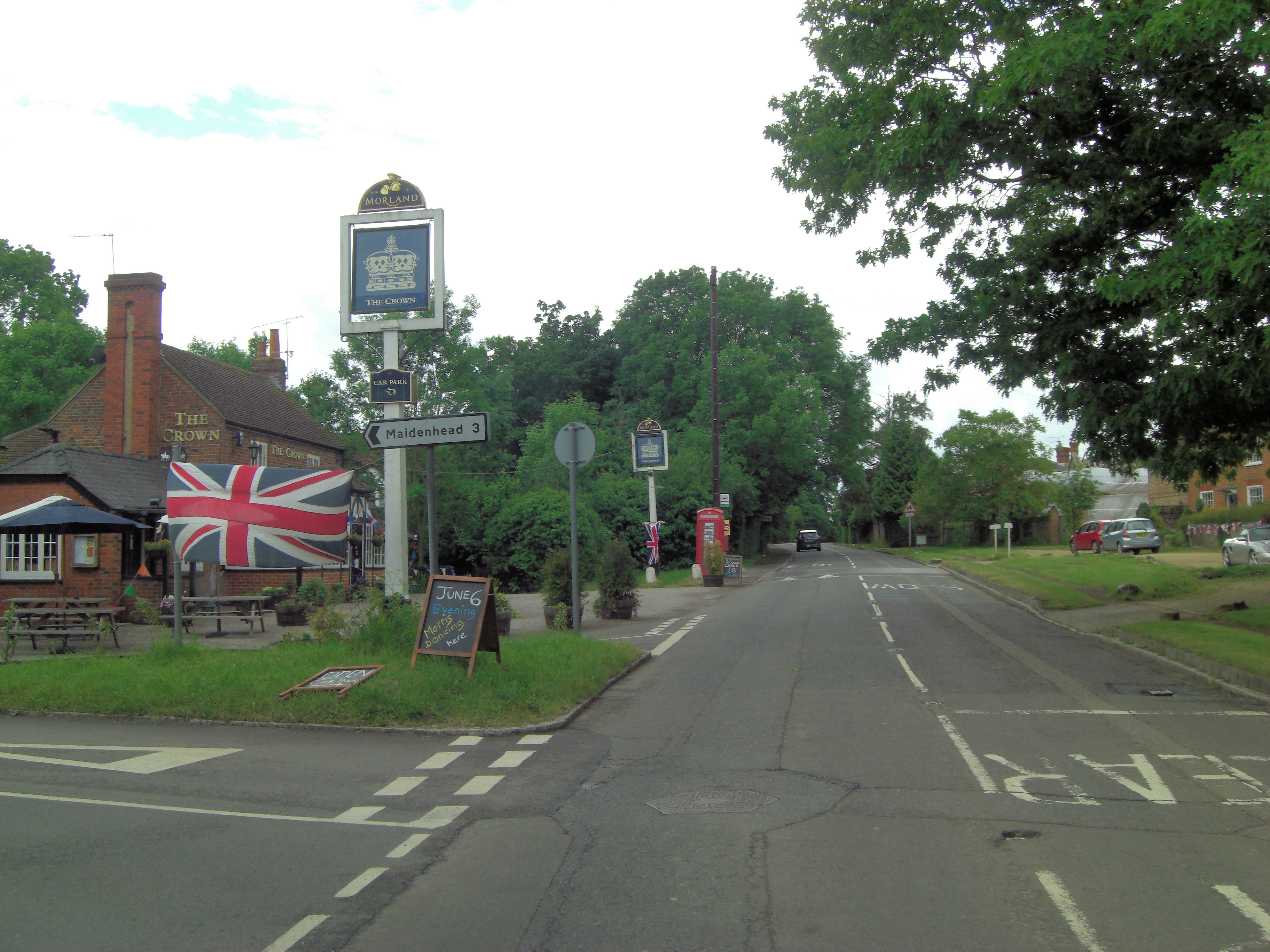
Nearby Locations

Ashley Hill Hurley

Related Wikis

Warren Row

Warren Row is a village in Berkshire, England, and part of the civil parish of Hurley. The settlement lies between the A321 road, A4 and A4130 roads, and...

Berkshire College of Agriculture

Berkshire College of Agriculture is a further education agricultural college at Hall Place in Burchetts Green, Maidenhead, Berkshire. It was founded in...

Hurley Chalk Pit

Hurley Chalk Pit is a 1-hectare (2.5-acre) nature reserve west of Maidenhead in Berkshire. It is managed by the Berkshire, Buckinghamshire and Oxfordshire...

Knowl Hill

Knowl Hill is a village in the civil parish of Hurley in Berkshire, England. It is 5 miles (8 km) west of Maidenhead on the A4 road toward Reading. In...

Burchetts Green

Burchetts Green is a small village to the west of Maidenhead in the English county of Berkshire. It is half in the civil parish of Hurley and half in the...

Littlewick Green

Littlewick Green is a village in the north of civil parish of White Waltham (where the 2011 Census was included) and the south of the civil parish of Hurley...

Cockpole Green

Cockpole Green is a hamlet in Berkshire, England. Part, including the original village green, lies within the civil parish of Hurley (where according to...

Temple Golf Club

Temple Golf Club is a golf club located in Hurley, Berkshire, England. It is about 2 miles northwest of Maidenhead. It was opened in 1910. The course was...

Nearby Amenities

Located within 500m of 51.522842,-0.81369853
Barrier: kissing_gate
Lat/Long: 51.5257151/-0.8177768
Barrier: kissing_gate
Lat/Long: 51.5258897/-0.8178593
Barrier: kissing_gate
Lat/Long: 51.5255823/-0.8176958
Marker: pedestal
Utility: gas
Lat/Long: 51.5201723/-0.819347
The data included in this document is from www.openstreetmap.org. The data is made available under ODbL.

Have you been to Ashley Hill?

Leave your review of Ashley Hill below (or comments, questions and feedback).