Askerton Hill
Hill, Mountain in Nottinghamshire Newark and Sherwood
England
Askerton Hill
Askerton Hill is a prominent geographical feature located in Nottinghamshire, England. Situated in the northern part of the county, it is considered to be a hill rather than a mountain, offering picturesque views and natural beauty to locals and visitors alike.
Rising to an elevation of approximately 150 meters (492 feet), Askerton Hill stands as an important landmark in the region. Its distinctive shape and lush greenery make it a popular destination for hikers, nature enthusiasts, and photographers. The hill is known for its gentle slopes, which provide relatively easy access to its summit.
Covered in a variety of vegetation, Askerton Hill boasts a diverse range of plant and animal life. The slopes are adorned with a mix of deciduous and coniferous trees, including oak, beech, and pine, creating a vibrant and ever-changing landscape throughout the seasons. The hill also supports a rich array of wildlife, with sightings of deer, foxes, and various bird species commonly reported.
The hill's location in Nottinghamshire offers stunning panoramic views of the surrounding countryside, including nearby villages, farmland, and forests. On clear days, it is even possible to catch glimpses of the Trent River winding its way through the region. These breathtaking vistas have made Askerton Hill a favorite spot for picnics, leisurely walks, and even amateur landscape painting.
Overall, Askerton Hill is a cherished natural landmark in Nottinghamshire, offering a peaceful retreat from the bustling urban areas nearby. Its accessibility, beauty, and ecological diversity make it a cherished destination for locals and tourists seeking a connection with nature and a chance to enjoy the scenic wonders of the English countryside.
If you have any feedback on the listing, please let us know in the comments section below.
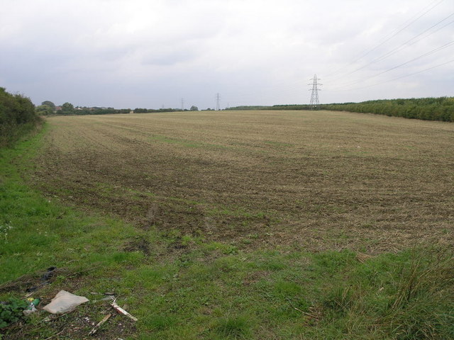
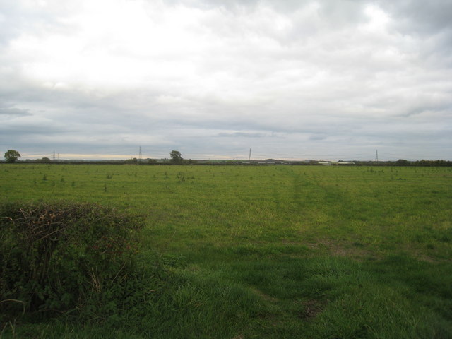
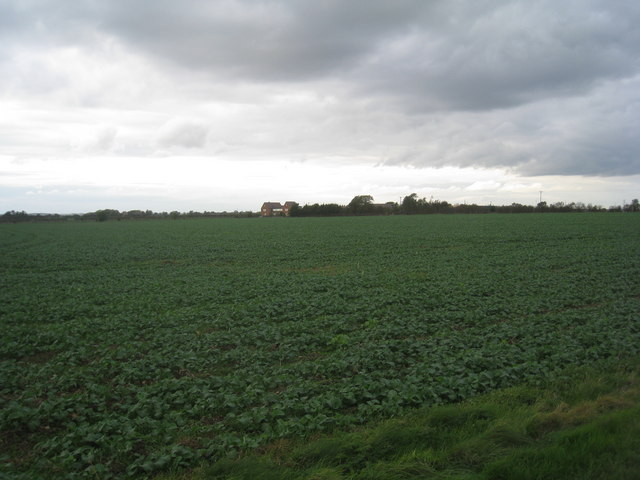
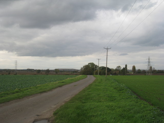
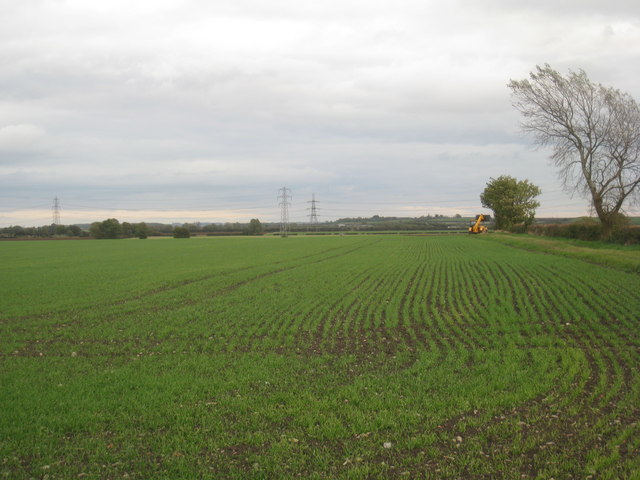
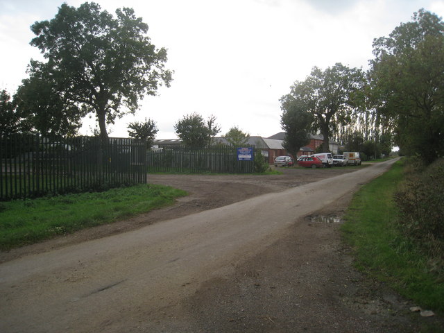
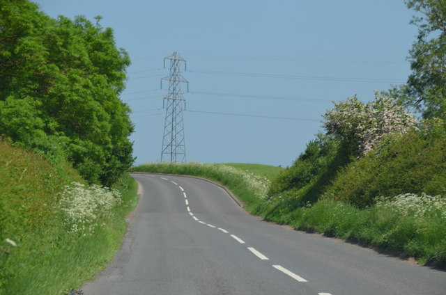
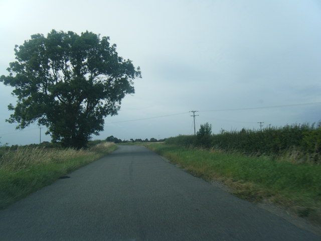
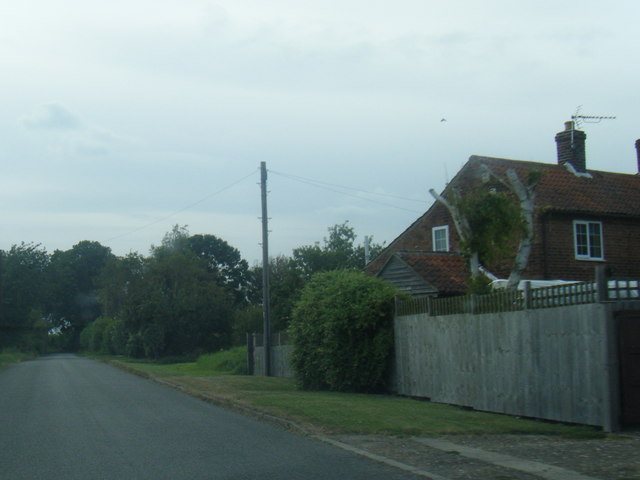
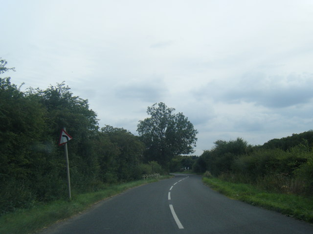
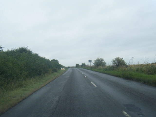
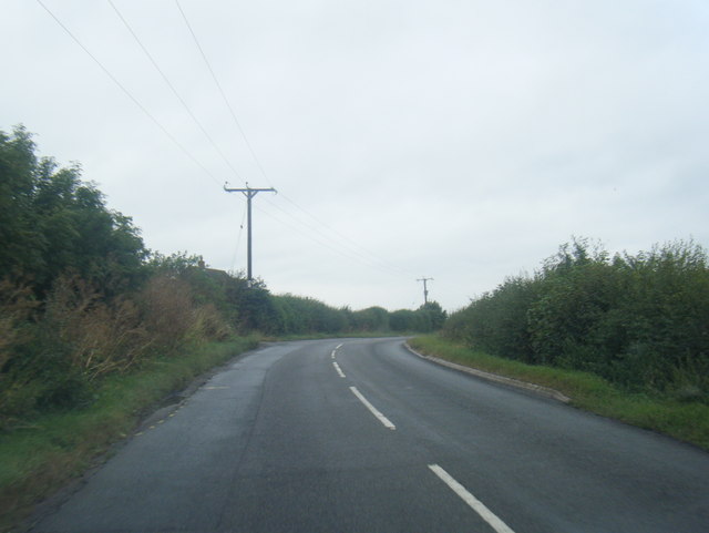
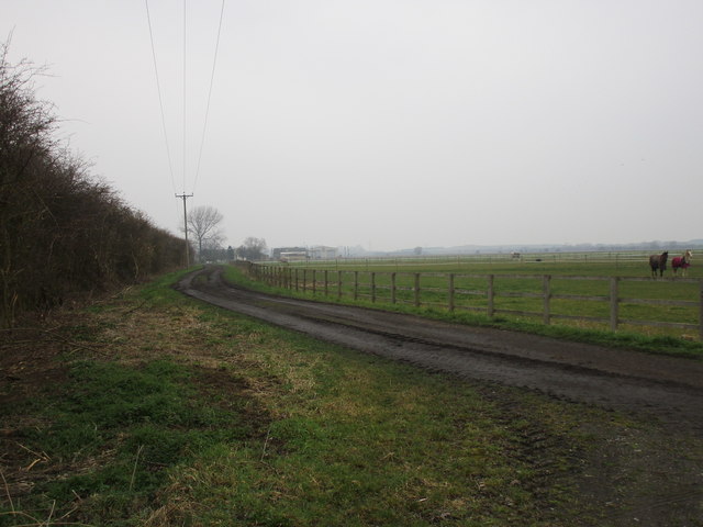
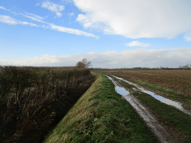
Askerton Hill Images
Images are sourced within 2km of 53.007308/-0.80648094 or Grid Reference SK8046. Thanks to Geograph Open Source API. All images are credited.
Askerton Hill is located at Grid Ref: SK8046 (Lat: 53.007308, Lng: -0.80648094)
Administrative County: Nottinghamshire
District: Newark and Sherwood
Police Authority: Nottinghamshire
What 3 Words
///clinic.growl.essay. Near Long Bennington, Lincolnshire
Nearby Locations
Related Wikis
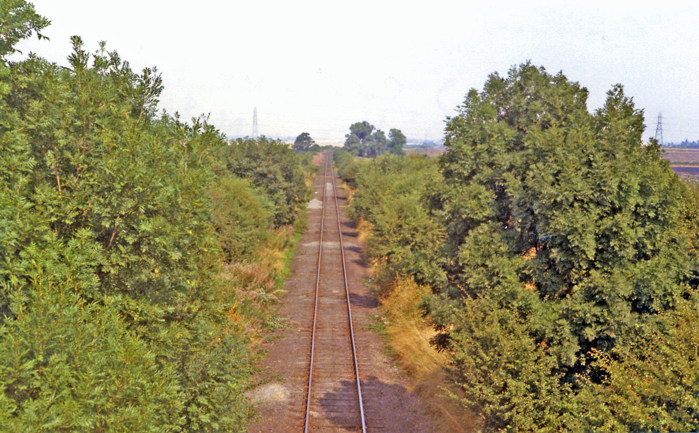
Cotham railway station
Cotham railway station was a railway station serving the village of Cotham, Nottinghamshire. It was the only intermediate station on the Great Northern...

Cotham, Nottinghamshire
Cotham, Nottinghamshire is a small village near Newark-on-Trent in the East Midlands of England. == Population == At the 2011 Census, the village population...

St Michael's Church, Cotham
St Michael's Church is a redundant Anglican church in the village of Cotham, Nottinghamshire, England. The building dates back to the 12th century. �...

River Smite
The River Smite, a tributary of the River Devon, flows for 20 miles (32 km) through Leicestershire and south-east Nottinghamshire, England. The source...

Shelton, Nottinghamshire
Shelton is an English village and civil parish in the Rushcliffe borough of Nottinghamshire. According to the 2001 census, Shelton had a population of...

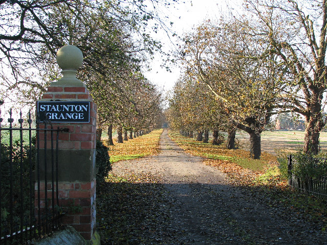
Staunton, Nottinghamshire
Staunton (also known as Staunton-in-the-Vale) is a small village and civil parish in the Newark and Sherwood district of Nottinghamshire, England. It takes...
Kilvington
Kilvington is a hamlet and civil parish in Nottinghamshire, England, part of the Newark and Sherwood district. Dr Robert Thoroton in Antiquities of Nottinghamshire...
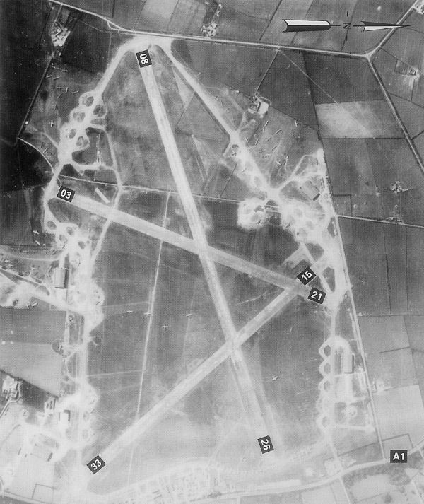
RAF Balderton
Royal Air Force Balderton or more simply RAF Balderton was a former Royal Air Force station located 2.0 miles (3.2 km) south of Newark-on-Trent, sandwiched...
Nearby Amenities
Located within 500m of 53.007308,-0.80648094Have you been to Askerton Hill?
Leave your review of Askerton Hill below (or comments, questions and feedback).