Askerton Hill
Settlement in Nottinghamshire Newark and Sherwood
England
Askerton Hill
Askerton Hill is a small village located in the county of Nottinghamshire, in the East Midlands region of England. Situated approximately 10 miles north of Nottingham, the village is set amidst picturesque countryside and offers a peaceful rural setting for its residents.
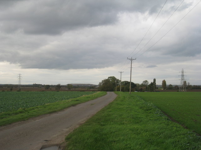
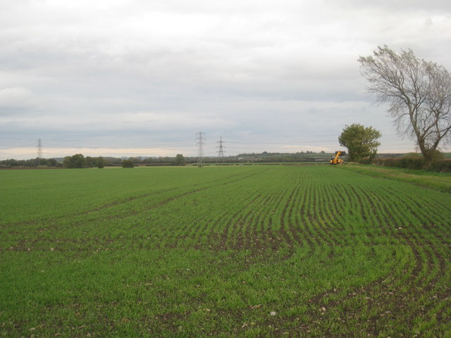
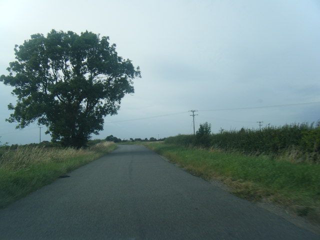
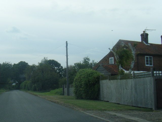
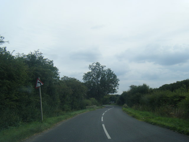
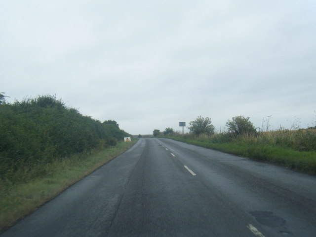
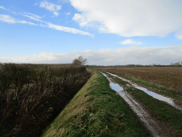
The village is characterized by its quaint charm and traditional architecture, with a mix of well-preserved cottages and modern houses. The surrounding landscape is predominantly agricultural, with rolling hills and open fields adding to the area's natural beauty.
Despite its small size, Askerton Hill has a close-knit community that prides itself on its friendly and welcoming atmosphere. The village boasts a range of amenities, including a local pub, a village hall, and a primary school. Additionally, residents can enjoy the nearby nature reserves and walking trails, which provide opportunities for outdoor activities and exploration.
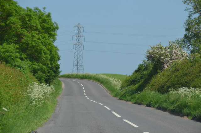
Transport links to and from Askerton Hill are relatively convenient, with regular bus services connecting the village to neighboring towns and cities. The village is also easily accessible by car, with the A614 road passing nearby, providing connections to the wider Nottinghamshire area.
Overall, Askerton Hill offers a peaceful and idyllic lifestyle for its residents, with its beautiful countryside, community spirit, and proximity to amenities making it an attractive place to live for those seeking a tranquil rural setting.
If you have any feedback on the listing, please let us know in the comments section below.
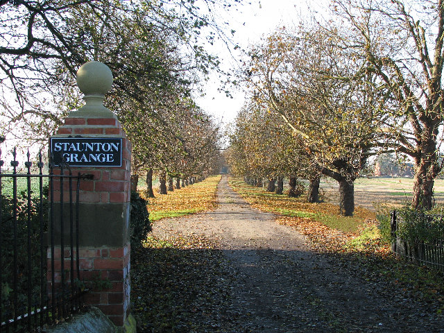
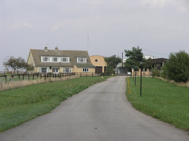
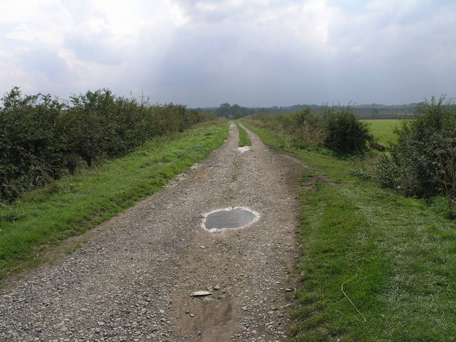
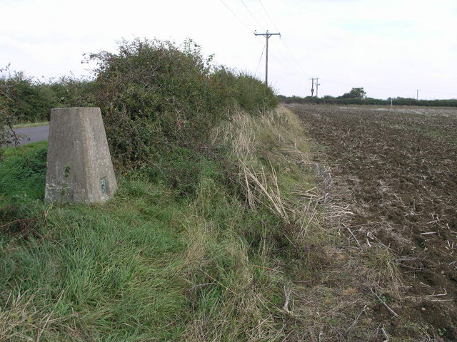
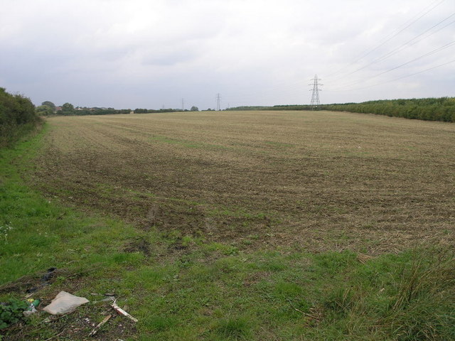
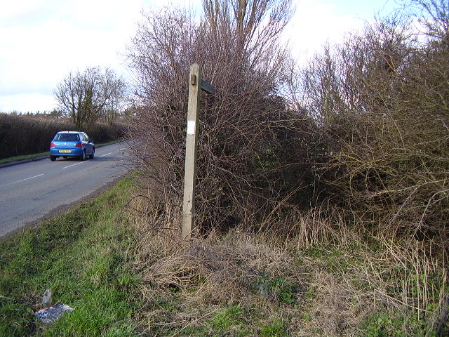
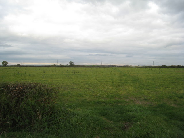
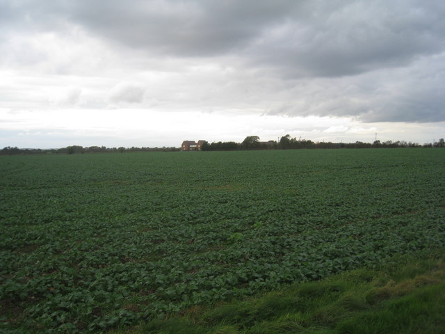
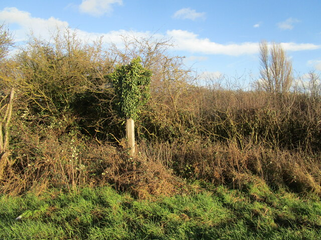
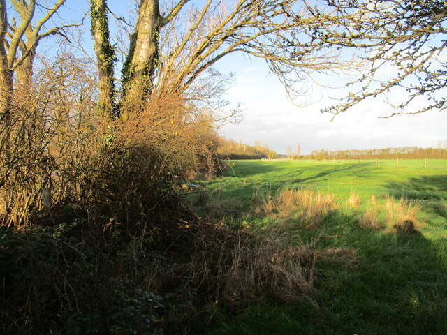
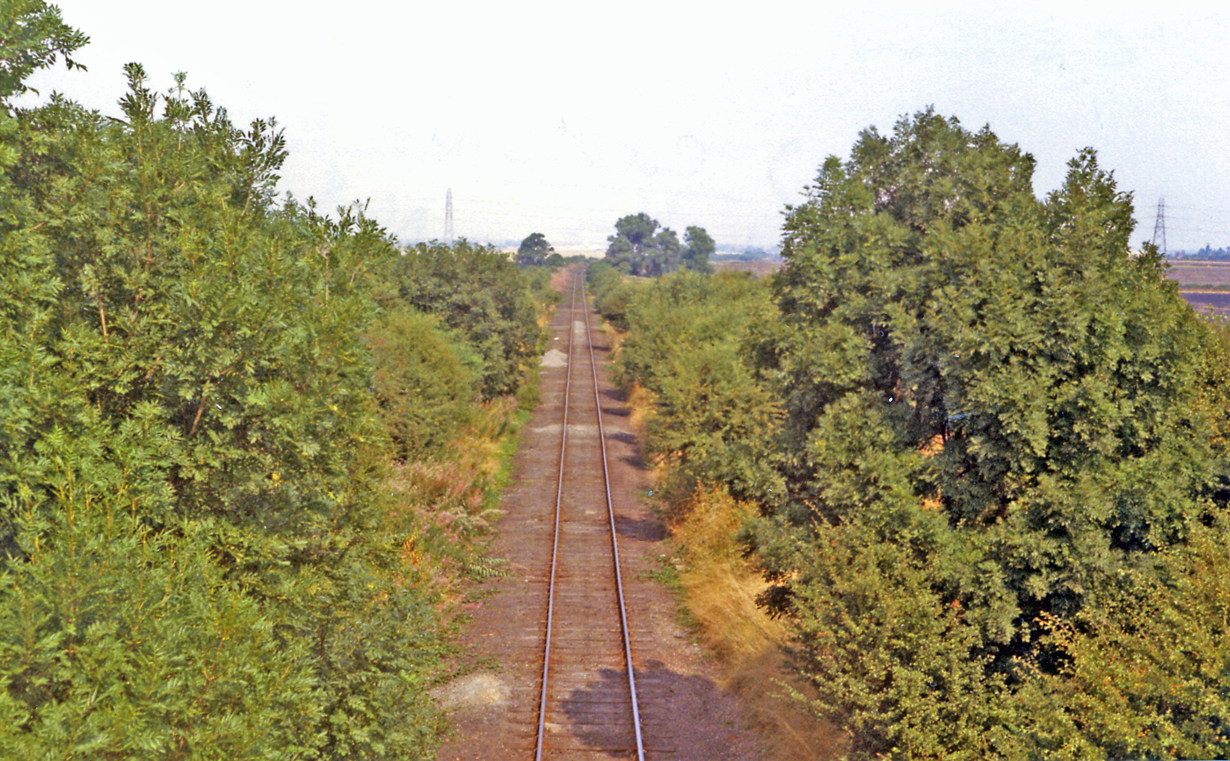
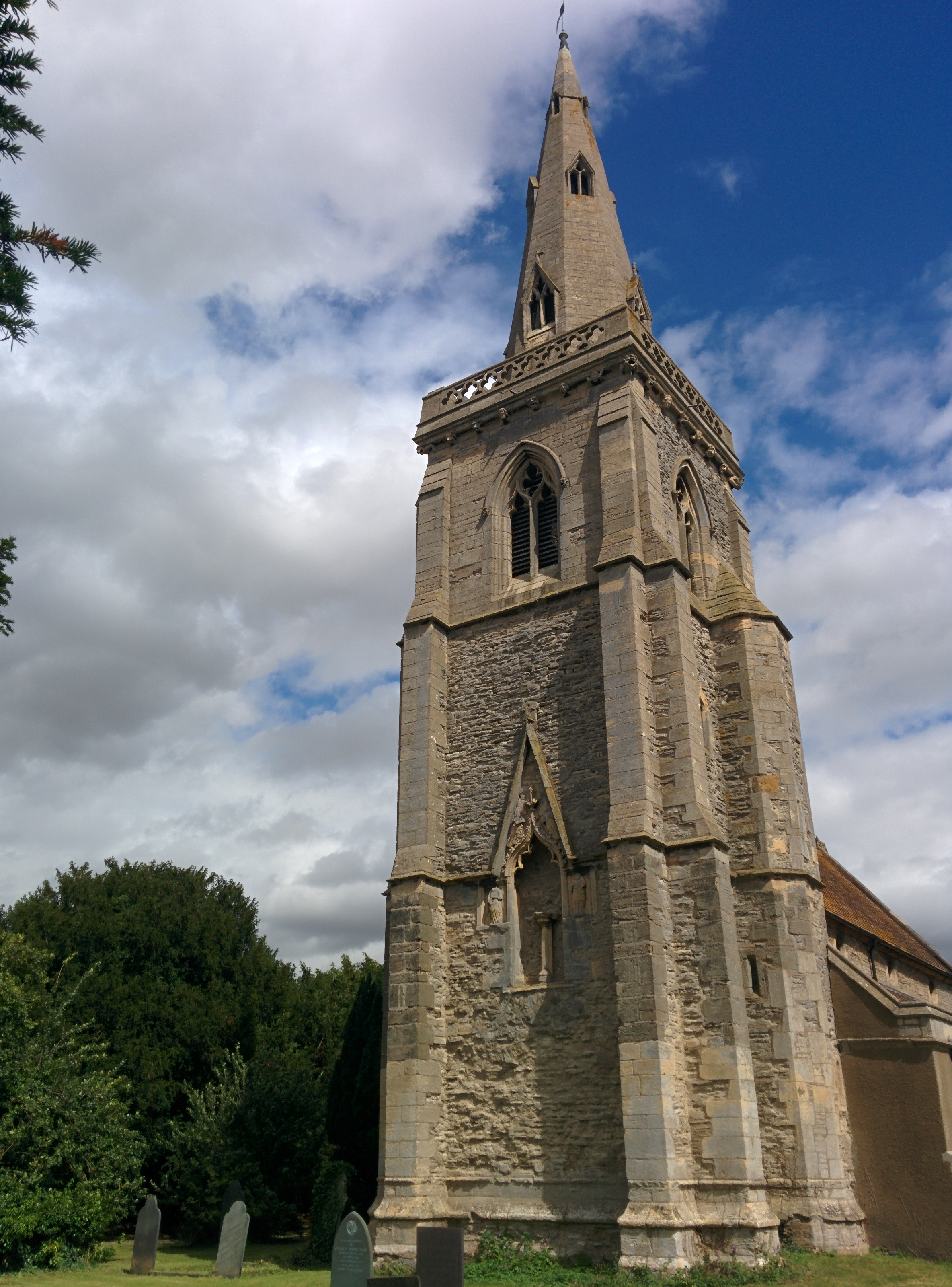
Askerton Hill Images
Images are sourced within 2km of 53.005349/-0.8092473 or Grid Reference SK8046. Thanks to Geograph Open Source API. All images are credited.
Askerton Hill is located at Grid Ref: SK8046 (Lat: 53.005349, Lng: -0.8092473)
Administrative County: Nottinghamshire
District: Newark and Sherwood
Police Authority: Nottinghamshire
What 3 Words
///subway.documents.promoted. Near Long Bennington, Lincolnshire
Nearby Locations
Related Wikis
Cotham railway station
Cotham railway station was a railway station serving the village of Cotham, Nottinghamshire. It was the only intermediate station on the Great Northern...

River Smite
The River Smite, a tributary of the River Devon, flows for 20 miles (32 km) through Leicestershire and south-east Nottinghamshire, England. The source...

Cotham, Nottinghamshire
Cotham, Nottinghamshire is a small village near Newark-on-Trent in the East Midlands of England. == Population == At the 2011 Census, the village population...

St Michael's Church, Cotham
St Michael's Church is a redundant Anglican church in the village of Cotham, Nottinghamshire, England. The building dates back to the 12th century. �...

Shelton, Nottinghamshire
Shelton is an English village and civil parish in the Rushcliffe borough of Nottinghamshire. According to the 2001 census, Shelton had a population of...

Staunton, Nottinghamshire
Staunton (also known as Staunton-in-the-Vale) is a small village and civil parish in the Newark and Sherwood district of Nottinghamshire, England. It takes...
Kilvington
Kilvington is a hamlet and civil parish in Nottinghamshire, England, part of the Newark and Sherwood district. Dr Robert Thoroton in Antiquities of Nottinghamshire...
Thoroton
Thoroton is a small English parish in the borough of Rushcliffe, Nottinghamshire, with a population of 112. The village has conservation area status. Its...
Nearby Amenities
Located within 500m of 53.005349,-0.8092473Have you been to Askerton Hill?
Leave your review of Askerton Hill below (or comments, questions and feedback).