Stonepit Plantation
Wood, Forest in Nottinghamshire Newark and Sherwood
England
Stonepit Plantation
Stonepit Plantation is a picturesque woodland located in the heart of Nottinghamshire, England. Covering an area of approximately 50 acres, this stunning plantation is situated on the outskirts of the village of Wood. It forms a part of the larger Sherwood Forest, which is famous for its association with the legendary Robin Hood.
The plantation boasts a diverse range of tree species, including oak, birch, and pine. These majestic trees provide a lush canopy, creating a serene and tranquil atmosphere for visitors to enjoy. The forest floor is adorned with a carpet of wildflowers, adding bursts of color to the landscape throughout the year.
Stonepit Plantation is a haven for wildlife, providing a natural habitat for a variety of species. Birdwatchers can spot a multitude of birds, such as woodpeckers, tawny owls, and chaffinches. Squirrels and rabbits can also be seen darting amongst the trees, while deer occasionally graze in the more secluded areas of the woodland.
The plantation is a popular destination for nature enthusiasts and outdoor enthusiasts alike. It offers a network of well-maintained walking trails, allowing visitors to explore the beauty of the forest at their own pace. These trails meander through the woodland, offering glimpses of hidden ponds, babbling brooks, and ancient ruins.
Stonepit Plantation is a true gem of Nottinghamshire, providing a peaceful retreat from the hustle and bustle of everyday life. Whether it's a leisurely stroll, birdwatching, or simply enjoying the beauty of nature, this enchanting woodland sanctuary has something to offer for everyone.
If you have any feedback on the listing, please let us know in the comments section below.
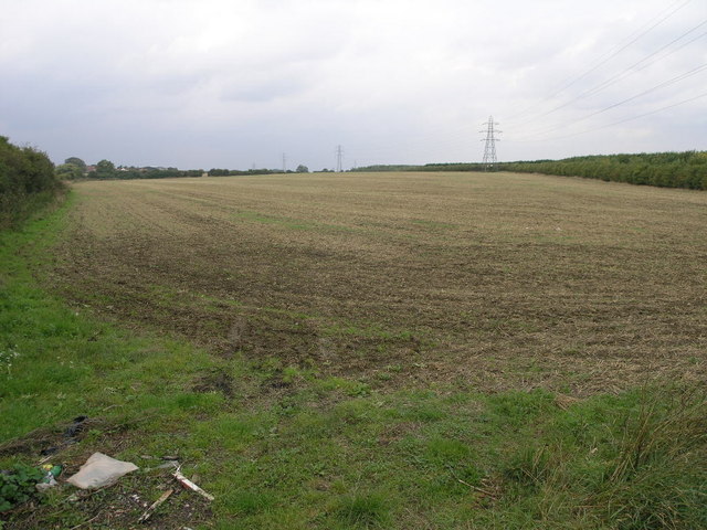
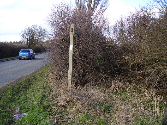
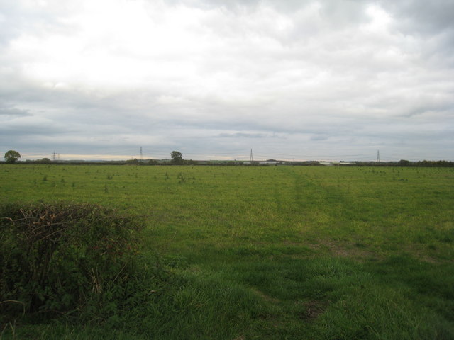
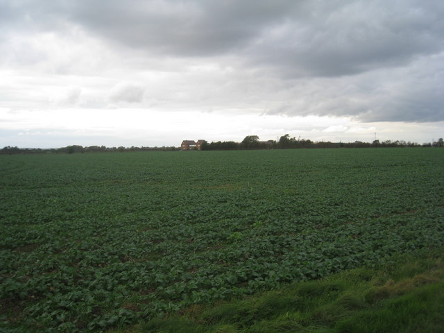
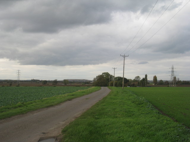
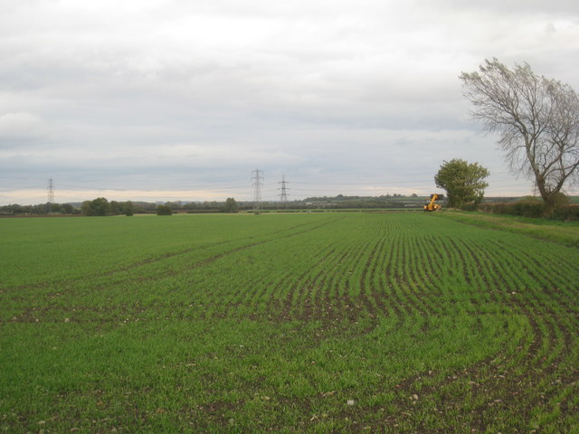
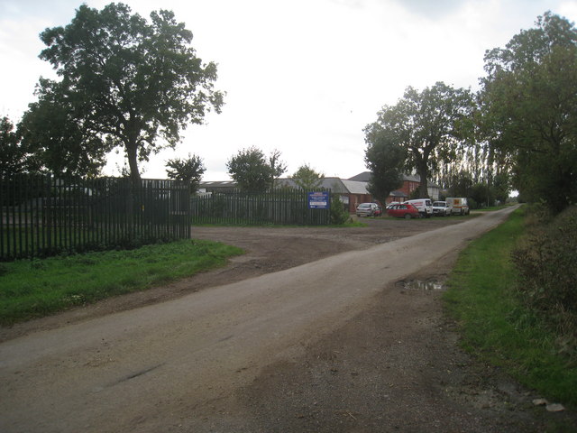
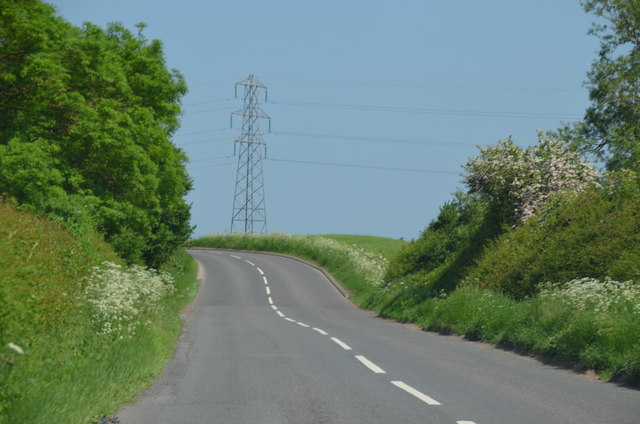
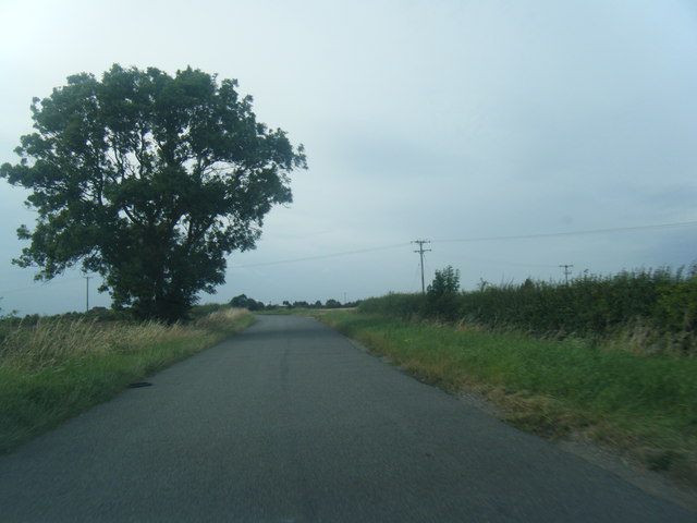
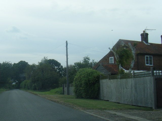
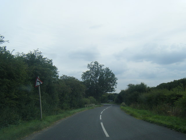
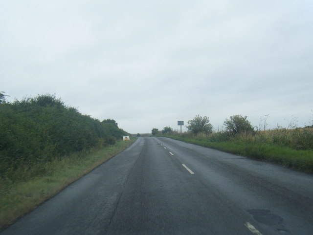
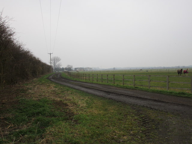
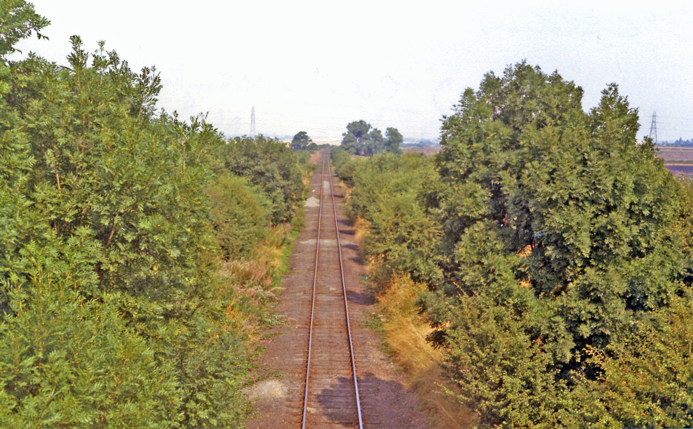
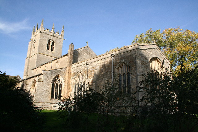
Stonepit Plantation Images
Images are sourced within 2km of 53.005829/-0.80333242 or Grid Reference SK8046. Thanks to Geograph Open Source API. All images are credited.

Stonepit Plantation is located at Grid Ref: SK8046 (Lat: 53.005829, Lng: -0.80333242)
Administrative County: Nottinghamshire
District: Newark and Sherwood
Police Authority: Nottinghamshire
What 3 Words
///songbird.swam.cascade. Near Long Bennington, Lincolnshire
Nearby Locations
Related Wikis
Cotham railway station
Cotham railway station was a railway station serving the village of Cotham, Nottinghamshire. It was the only intermediate station on the Great Northern...

Cotham, Nottinghamshire
Cotham, Nottinghamshire is a small village near Newark-on-Trent in the East Midlands of England. == Population == At the 2011 Census, the village population...

River Smite
The River Smite, a tributary of the River Devon, flows for 20 miles (32 km) through Leicestershire and south-east Nottinghamshire, England. The source...

St Michael's Church, Cotham
St Michael's Church is a redundant Anglican church in the village of Cotham, Nottinghamshire, England. The building dates back to the 12th century. �...

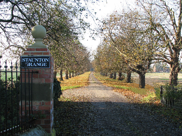
Staunton, Nottinghamshire
Staunton (also known as Staunton-in-the-Vale) is a small village and civil parish in the Newark and Sherwood district of Nottinghamshire, England. It takes...

Shelton, Nottinghamshire
Shelton is an English village and civil parish in the Rushcliffe borough of Nottinghamshire. According to the 2001 census, Shelton had a population of...
Kilvington
Kilvington is a hamlet and civil parish in Nottinghamshire, England, part of the Newark and Sherwood district. Dr Robert Thoroton in Antiquities of Nottinghamshire...
Long Bennington
Long Bennington is a linear village and civil parish in South Kesteven district of Lincolnshire, England, just off the A1 road, 7 miles (11 km) north of...
Nearby Amenities
Located within 500m of 53.005829,-0.80333242Have you been to Stonepit Plantation?
Leave your review of Stonepit Plantation below (or comments, questions and feedback).