Cotham
Settlement in Nottinghamshire Newark and Sherwood
England
Cotham
Cotham is a small village located in the county of Nottinghamshire, England. Situated approximately 8 miles east of the city of Nottingham, Cotham is nestled within a picturesque rural landscape, surrounded by rolling hills and fields.
The village is home to a close-knit community, with a population of around 300 residents. Cotham has a rich history, dating back to medieval times, and it still retains much of its historic charm. The architecture in the village varies, with a mix of traditional cottages and newer houses, giving it a unique character.
Cotham is well-connected to the surrounding areas, with good transport links. The A612 road passes through the village, providing convenient access to nearby towns and cities. The village is also served by regular bus services, allowing residents to easily travel to Nottingham and other local destinations.
Despite its small size, Cotham offers a range of amenities for its residents. The village has a primary school, which provides education for local children. There is also a village hall, which serves as a community hub and hosts various events and activities throughout the year.
The surrounding countryside provides ample opportunities for outdoor pursuits, such as walking, cycling, and horse riding. Cotham is located close to several nature reserves and country parks, offering beautiful scenery and wildlife. The village also benefits from its proximity to the River Trent, providing opportunities for fishing and boating.
In summary, Cotham is a quaint village in Nottinghamshire, known for its rural beauty and close-knit community. With its historic charm and convenient location, it offers a peaceful and idyllic setting for residents and visitors alike.
If you have any feedback on the listing, please let us know in the comments section below.
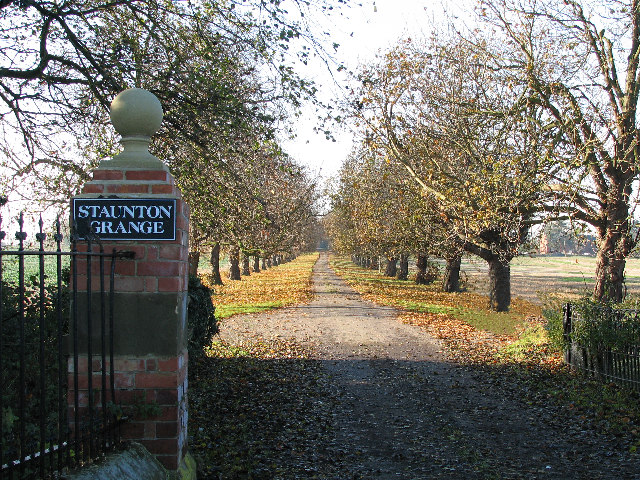
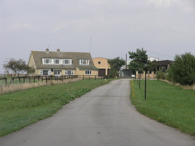
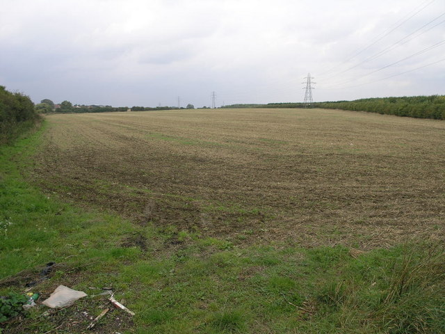
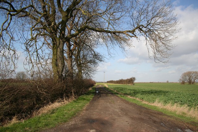
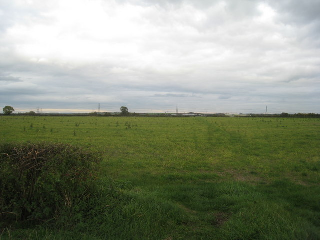
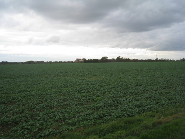
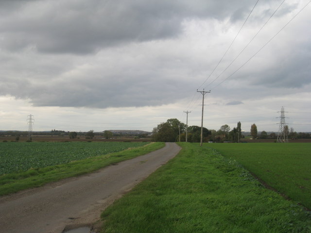
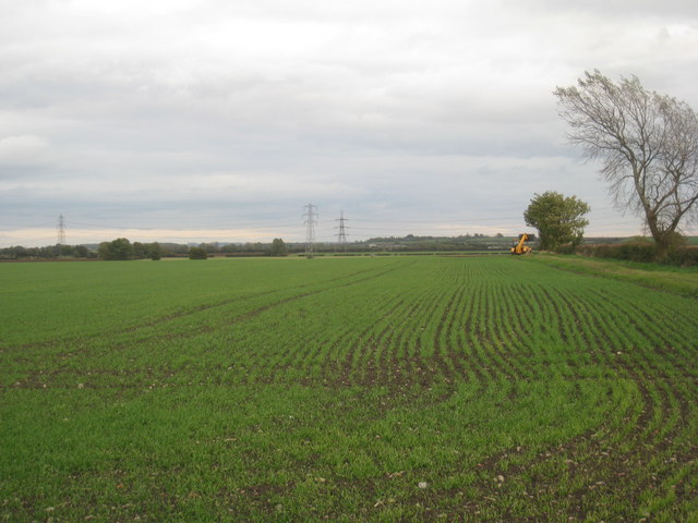
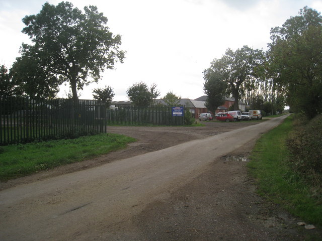
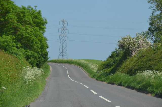
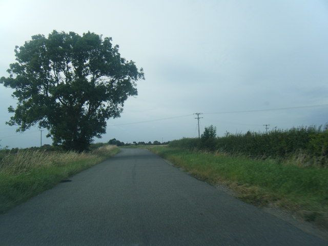
Cotham Images
Images are sourced within 2km of 53.012392/-0.80425392 or Grid Reference SK8046. Thanks to Geograph Open Source API. All images are credited.


Cotham is located at Grid Ref: SK8046 (Lat: 53.012392, Lng: -0.80425392)
Administrative County: Nottinghamshire
District: Newark and Sherwood
Police Authority: Nottinghamshire
What 3 Words
///merit.screeches.situation. Near Long Bennington, Lincolnshire
Nearby Locations
Related Wikis
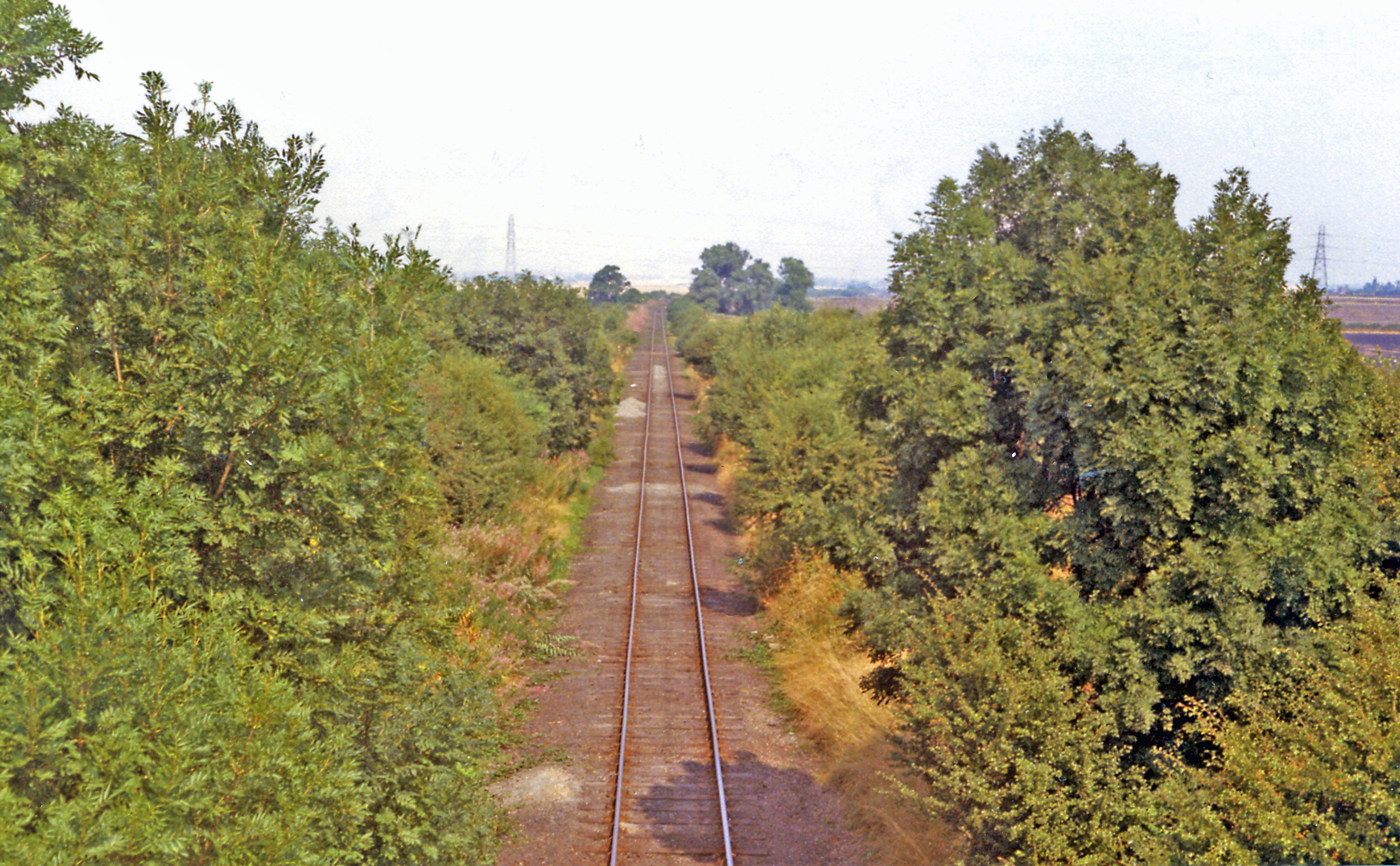
Cotham railway station
Cotham railway station was a railway station serving the village of Cotham, Nottinghamshire. It was the only intermediate station on the Great Northern...

Cotham, Nottinghamshire
Cotham, Nottinghamshire is a small village near Newark-on-Trent in the East Midlands of England. == Population == At the 2011 Census, the village population...

St Michael's Church, Cotham
St Michael's Church is a redundant Anglican church in the village of Cotham, Nottinghamshire, England. The building dates back to the 12th century. �...

River Smite
The River Smite, a tributary of the River Devon, flows for 20 miles (32 km) through Leicestershire and south-east Nottinghamshire, England. The source...
Nearby Amenities
Located within 500m of 53.012392,-0.80425392Have you been to Cotham?
Leave your review of Cotham below (or comments, questions and feedback).