Mickle Hill
Hill, Mountain in Yorkshire Ryedale
England
Mickle Hill

Mickle Hill is a small hill located in the county of Yorkshire, England. Situated in the North York Moors National Park, it is part of the Cleveland Hills range and stands at an elevation of approximately 300 meters.
With its stunning natural beauty and picturesque landscapes, Mickle Hill offers breathtaking views of the surrounding countryside. The hill is covered in lush greenery, with patches of heather and wildflowers adding to its charm. It is home to a diverse range of flora and fauna, making it a popular spot for nature enthusiasts and hikers.
The summit of Mickle Hill provides a panoramic view of the North York Moors, including the nearby villages of Great Ayton and Stokesley. On clear days, it is possible to see as far as the North Sea coast. The hill is accessible via several footpaths, making it a favorite destination for locals and tourists alike.
Mickle Hill has a rich history, with evidence of human settlement dating back to the Neolithic period. It was once used as grazing land for sheep and cattle, and remnants of old stone walls can still be found in some areas. The hill has also been used for recreational purposes, such as paragliding and hang gliding, due to its favorable wind conditions.
Overall, Mickle Hill is a serene and captivating destination that offers a glimpse into the natural beauty and cultural heritage of Yorkshire.
If you have any feedback on the listing, please let us know in the comments section below.
Mickle Hill Images
Images are sourced within 2km of 54.237633/-0.77175278 or Grid Reference SE8083. Thanks to Geograph Open Source API. All images are credited.


Mickle Hill is located at Grid Ref: SE8083 (Lat: 54.237633, Lng: -0.77175278)
Division: North Riding
Administrative County: North Yorkshire
District: Ryedale
Police Authority: North Yorkshire
What 3 Words
///hometown.matchbox.motored. Near Pickering, North Yorkshire
Nearby Locations
Related Wikis

Pickering Town F.C.
Pickering Town Football Club is an English football club based in Pickering, North Yorkshire. The club was founded in 1888 and are currently members of...
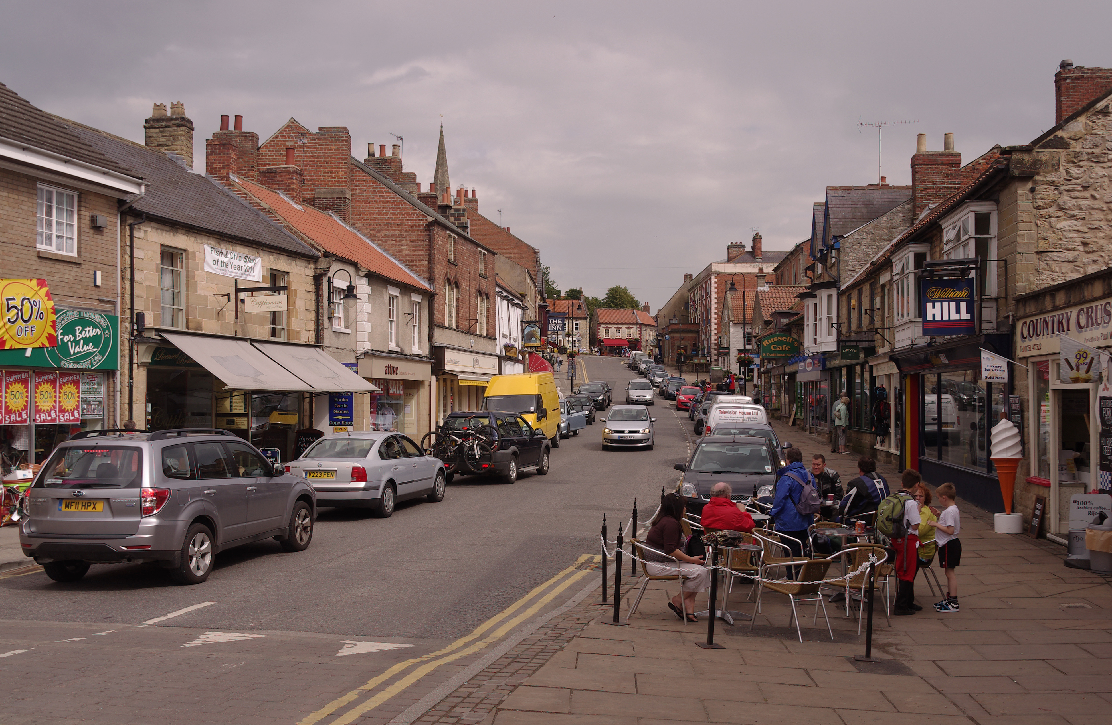
Pickering, North Yorkshire
Pickering is a market town and civil parish in North Yorkshire, England, on the border of the North York Moors National Park. Historically part of the...
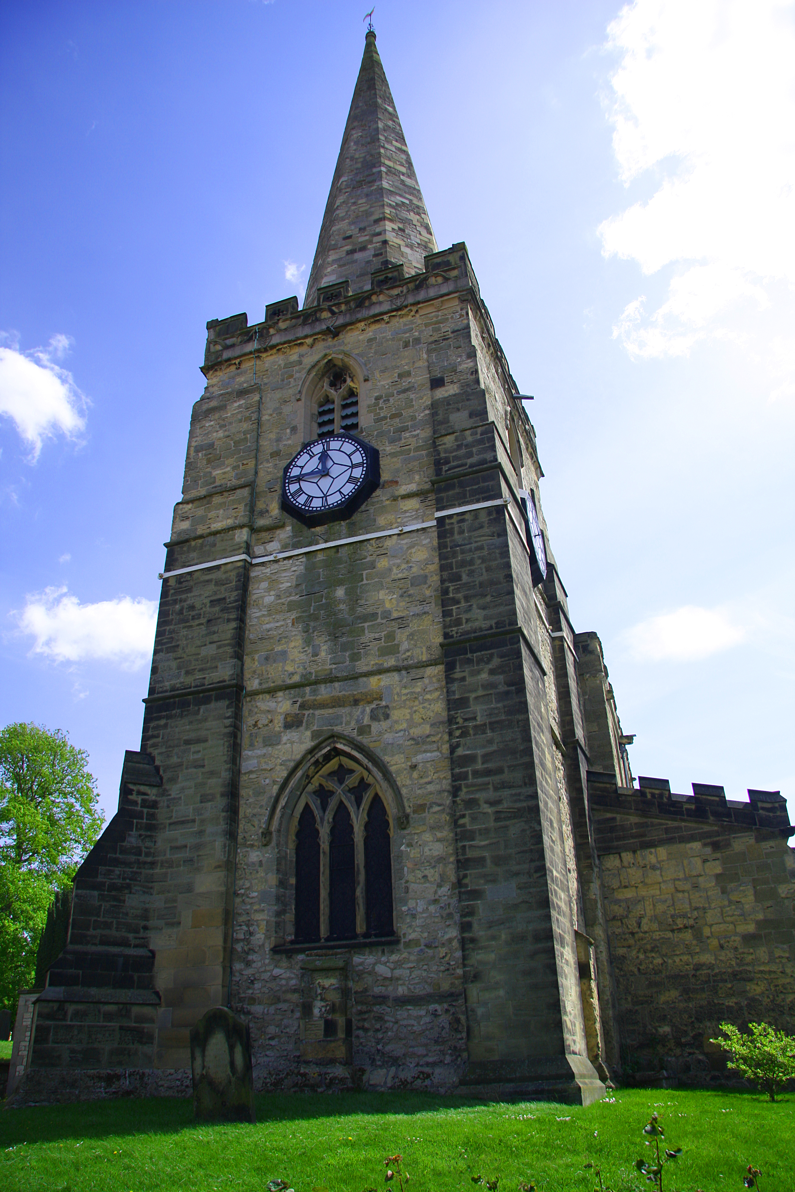
St Peter and St Paul's Church, Pickering
The Church of St Peter and St Paul, Pickering is the parish church of the market town of Pickering in the county of North Yorkshire. The church sits on...

Pickering railway station
Pickering railway station is the southern terminus of the North Yorkshire Moors Railway and serves the town of Pickering in North Yorkshire, England. The...
Nearby Amenities
Located within 500m of 54.237633,-0.77175278Have you been to Mickle Hill?
Leave your review of Mickle Hill below (or comments, questions and feedback).