Adwell Cop
Hill, Mountain in Oxfordshire South Oxfordshire
England
Adwell Cop
Adwell Cop is a prominent hill located in Oxfordshire, England. Situated in the charming village of Adwell, this natural landmark stands at an elevation of approximately 215 meters above sea level. The hill is part of the Chiltern Hills, a range known for its outstanding natural beauty and rolling countryside.
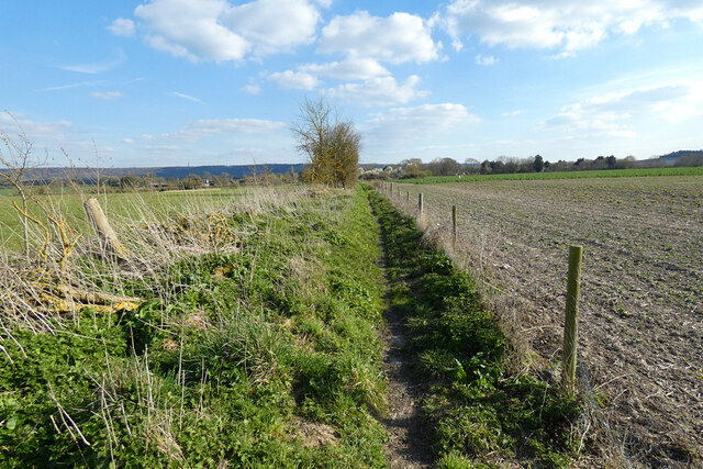
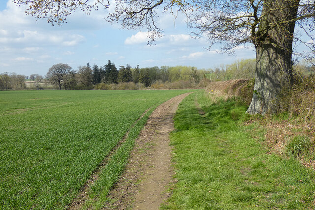
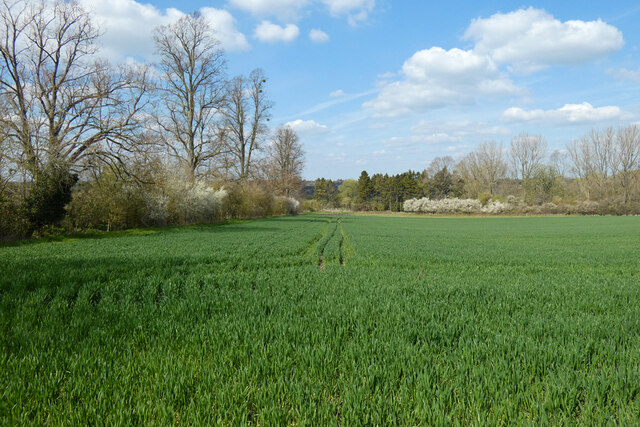
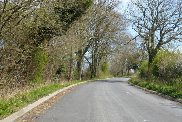
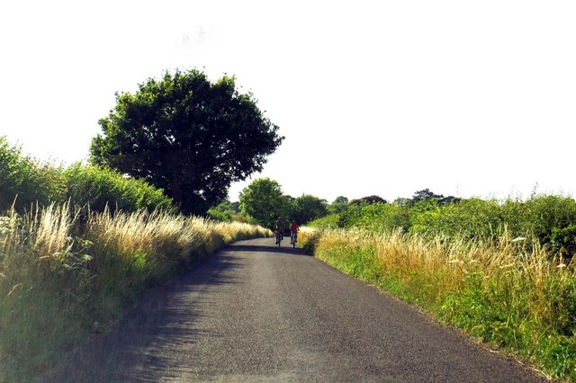
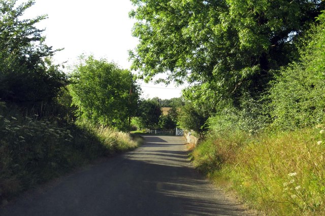
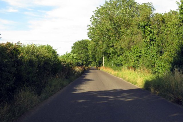
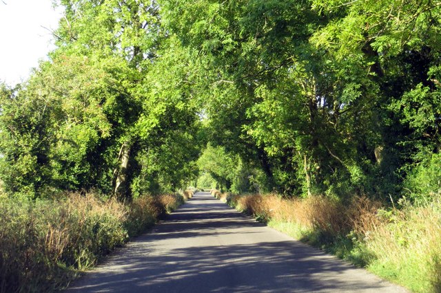
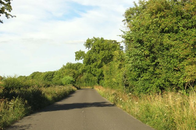
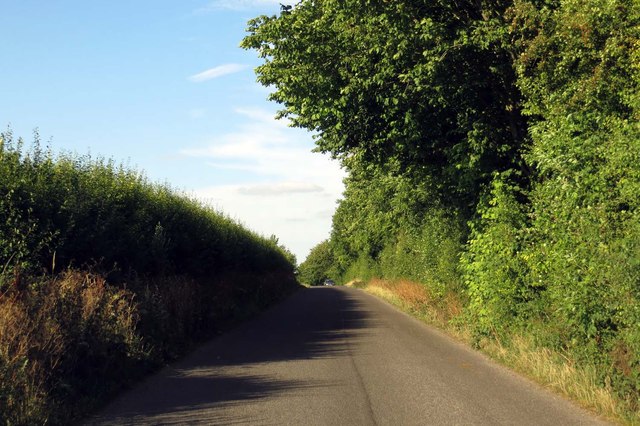
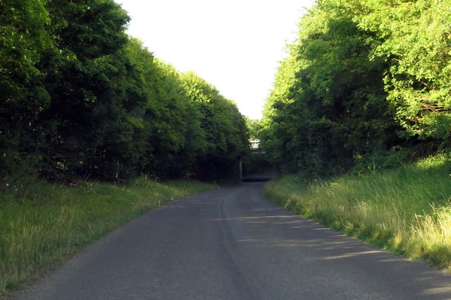
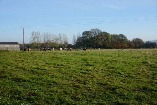
Covered in lush greenery, Adwell Cop offers breathtaking views of the surrounding landscape. The hill is characterized by its gentle slopes and well-maintained footpaths, making it a popular destination for hikers, nature enthusiasts, and locals seeking a peaceful escape. The area is also home to a variety of wildlife, including birds, deer, and rabbits, creating a tranquil and serene atmosphere.
Adwell Cop is easily accessible, with a network of footpaths leading visitors to its summit. From the top, visitors are rewarded with panoramic vistas of the picturesque Oxfordshire countryside, dotted with quaint villages and patchwork fields. On a clear day, it is possible to see as far as the Chiltern Hills Area of Outstanding Natural Beauty and the nearby town of Thame.
The hill is steeped in history and folklore, with numerous archaeological sites and ancient earthworks scattered across its slopes. The area has been inhabited since prehistoric times, and remnants of Roman and medieval settlements have been discovered in the vicinity.
Overall, Adwell Cop in Oxfordshire is a captivating hill that offers a tranquil retreat and stunning views of the surrounding countryside, making it a must-visit destination for nature lovers and history enthusiasts alike.
If you have any feedback on the listing, please let us know in the comments section below.
Adwell Cop Images
Images are sourced within 2km of 51.685824/-0.98426175 or Grid Reference SU7099. Thanks to Geograph Open Source API. All images are credited.
Adwell Cop is located at Grid Ref: SU7099 (Lat: 51.685824, Lng: -0.98426175)
Administrative County: Oxfordshire
District: South Oxfordshire
Police Authority: Thames Valley
What 3 Words
///clever.hacksaw.flip. Near Watlington, Oxfordshire
Nearby Locations
Related Wikis

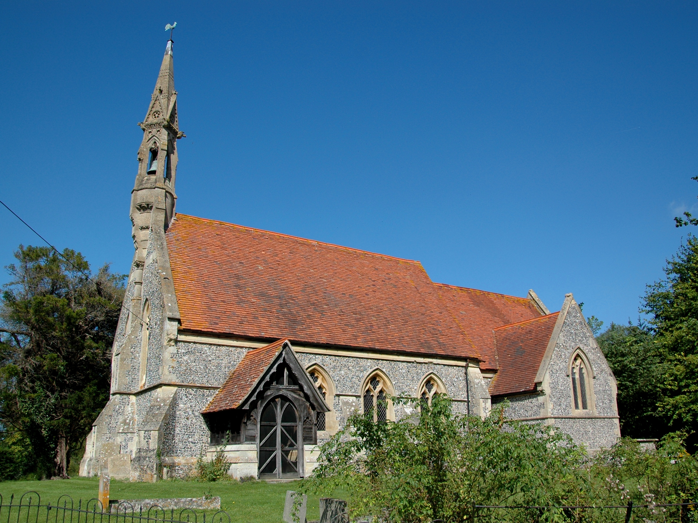
South Weston
South Weston is a village and former civil parish, now in the parish of Lewknor, in the South Oxfordshire district, in the county of Oxfordshire, England...
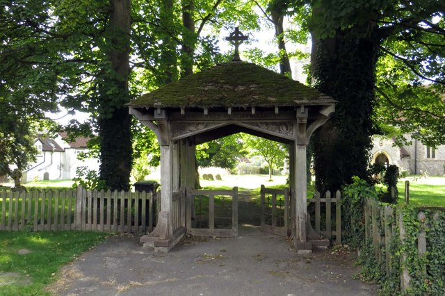
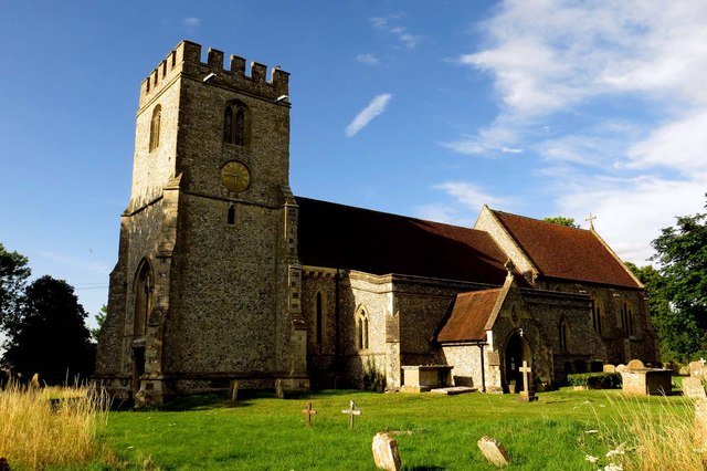
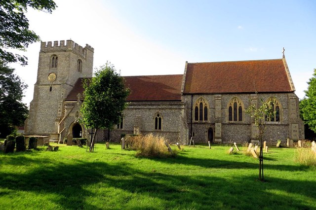
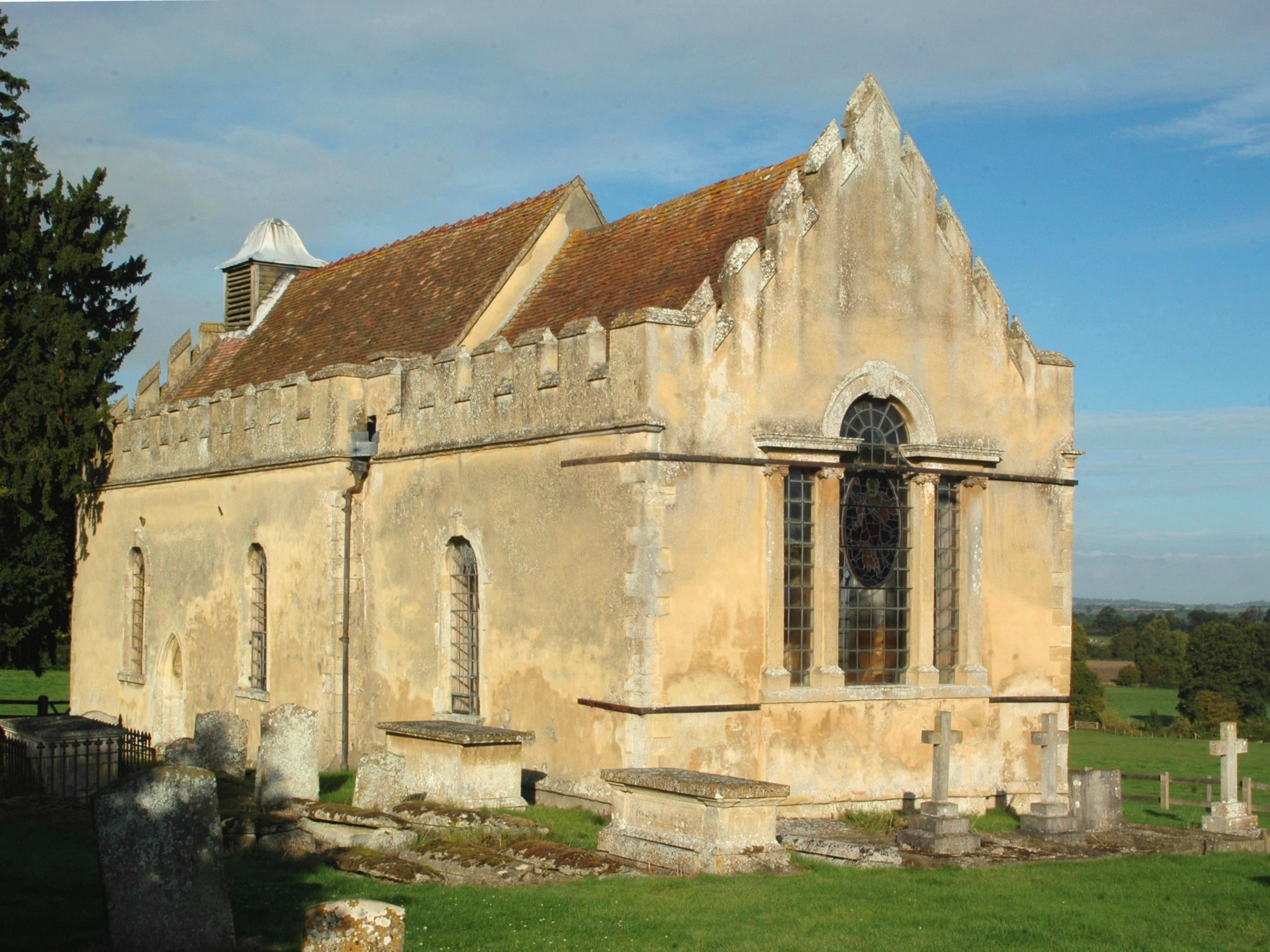
Adwell
Adwell is a village and civil parish about 3 miles (5 km) south of Thame in South Oxfordshire. The parish covers 443 acres (179 ha), == Demography == The...

Adwell House
Adwell House, Adwell, Oxfordshire, is a Grade II* listed building and the family seat of the Birch Reynardson family. == References == == External links... ==

Postcombe
Postcombe is a village in the civil parish of Lewknor. It is approximately 4 miles (6.4 km) south of Thame in Oxfordshire, England, and about 2 miles...

London Parachute School
The London Parachute School is a BPA affiliated parachuting centre and skydiving drop zone at Chiltern Park Aerodrome at Ipsden, near Wallingford, Oxfordshire...
Wheatfield, Oxfordshire
Wheatfield is a civil parish and deserted medieval village about 4 miles (6.4 km) south of Thame in Oxfordshire. Wheatfield's toponym is derived from...

Lewknor
Lewknor is a village and civil parish about 5 miles (8 km) south of Thame in Oxfordshire.The civil parish includes the villages of Postcombe and South...

Lewknor Bridge Halt railway station
Lewknor Bridge Halt railway station was a halt on the Watlington and Princes Risborough Railway which the Great Western Railway opened in 1906 to serve...
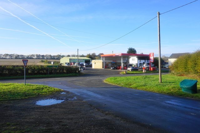
Nearby Amenities
Located within 500m of 51.685824,-0.98426175Have you been to Adwell Cop?
Leave your review of Adwell Cop below (or comments, questions and feedback).