Scures Hill

Hill, Mountain in Hampshire Basingstoke and Deane

England

Scures Hill

Western end of Greywell Tunnel
Western end of Greywell Tunnel Credit: Mr Ignavy

Scures Hill is a prominent hill located in the county of Hampshire, England. Situated near the village of Heckfield, it forms part of the larger North Hampshire Downs, which covers an extensive area of rolling hills and countryside. Rising to an elevation of approximately 118 meters (387 feet), Scures Hill offers breathtaking panoramic views of the surrounding landscape.

The hill is covered in lush greenery, with a mix of open fields, farmland, and scattered woodlands. It is home to a diverse range of plant and animal species, including various wildflowers, butterflies, and birds. The peaceful and tranquil atmosphere of Scures Hill makes it a popular destination for nature lovers and hikers who enjoy exploring the natural beauty of the area.

At the summit of Scures Hill, there is a small stone marker that serves as a trig point, allowing visitors to identify and navigate nearby landmarks. The trig point also offers a fantastic vantage point to admire the stunning vistas that stretch across Hampshire and beyond.

Scures Hill is easily accessible by foot, with several footpaths and trails leading to its summit. It also offers ample parking facilities nearby, making it convenient for visitors to explore and enjoy the area. Whether it is for a leisurely stroll, a picnic with family and friends, or simply to soak in the scenic views, Scures Hill is a hidden gem in Hampshire that offers a delightful escape into nature.

If you have any feedback on the listing, please let us know in the comments section below.
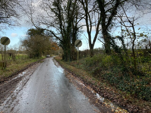
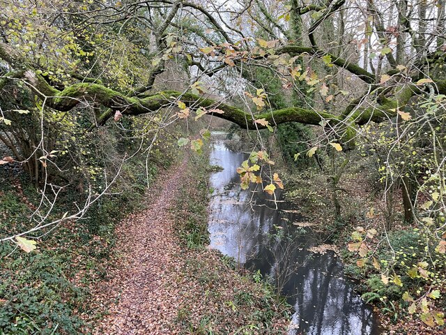
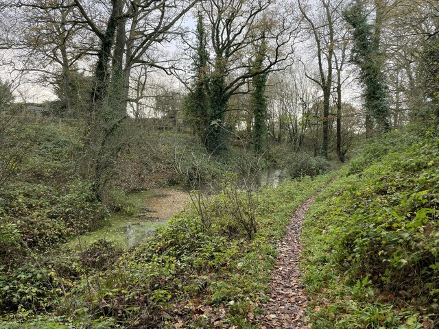
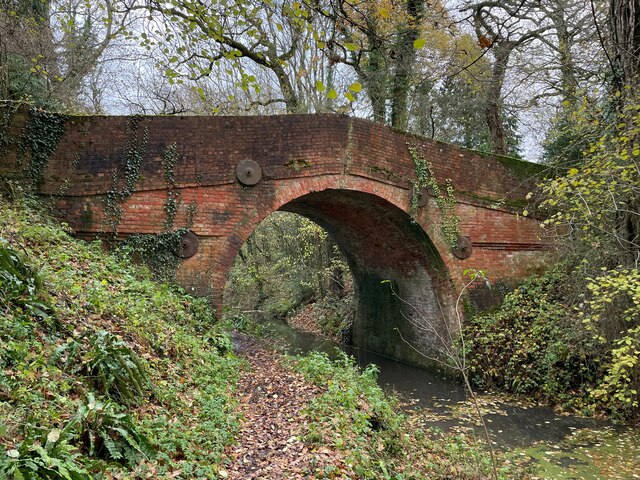
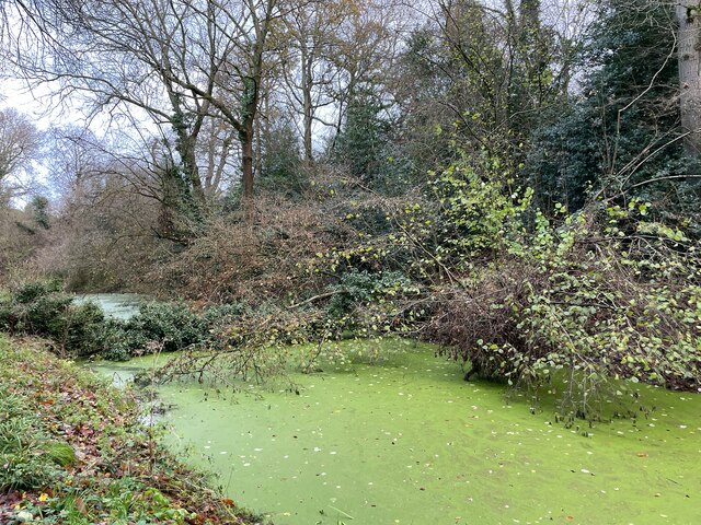
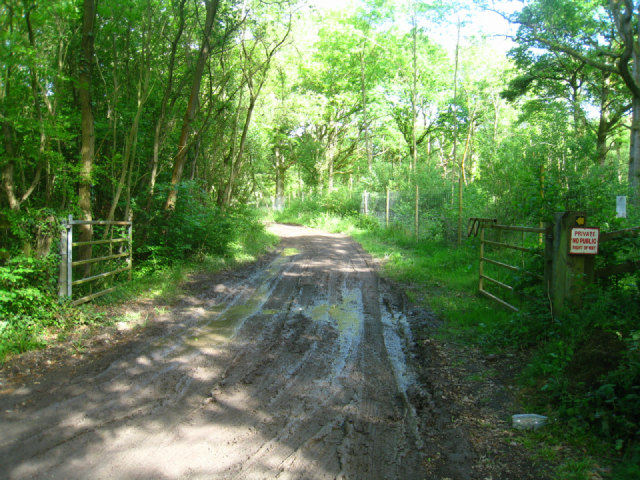
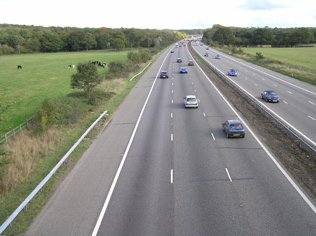
Scures Hill Images

Images are sourced within 2km of 51.272932/-0.99286006 or Grid Reference SU7053. Thanks to Geograph Open Source API. All images are credited.

Western end of Greywell Tunnel
Basingstoke by Greywell Tunnel
Heather Row Lane
Heather Row Lane
End of Heather Row Lane
Footpath to Heather Row Lane
Approaching Brick Kiln Bridge
Blackstocks Lane - direction A30
Redundant section of the Basingstoke Canal
Redundant section of the Basingstoke Canal This is the last remaining stretch of the Basingstoke canal with still a tow path and some water before developments and the M3 hide it.
Redundant section of the Basingstoke Canal
This is the last remaining stretch of the Basingstoke canal with still a tow path and some water before developments and the M3 hide it.
Basingstoke canal at Up Nately
Brick Kiln Bridge - Basingstoke Canal Built in 1790, a grade 2 listed building.
Brick Kiln Bridge - Basingstoke Canal
Built in 1790, a grade 2 listed building.
Basingstoke canal at Up Nately
Crossroads in Up Nately
Canal cutting at Up Nately
Heather Row Lane, Up Nately
Trees on Nately Road, Up Nately
Nately Road, Up Nately
Heather Row Bridge, M3 The M3 motorway runs for 59 miles from Sunbury-on-Thames to Southampton. Construction started 1968 and was finally completed in 1995. The Winchester bypass through Twyford Downs was the most controversial section to be built.
Wikipedia: <span class="nowrap"><a title="http://en.wikipedia.org/wiki/M3_motorway_(Great_Britain)" rel="nofollow ugc noopener" href="http://en.wikipedia.org/wiki/M3_motorway_(Great_Britain)">Link</a><img style="margin-left:2px;" alt="External link" title="External link - shift click to open in new window" src="https://s1.geograph.org.uk/img/external.png" width="10" height="10"/></span>
Heather Row Bridge, M3
The M3 motorway runs for 59 miles from Sunbury-on-Thames to Southampton. Construction started 1968 and was finally completed in 1995. The Winchester bypass through Twyford Downs was the most controversial section to be built. Wikipedia: LinkExternal link
Show me another place!

Scures Hill is located at Grid Ref: SU7053 (Lat: 51.272932, Lng: -0.99286006)

Administrative County: Hampshire

District: Basingstoke and Deane

Police Authority: Hampshire

What 3 Words

///slopes.cubs.hands. Near Hook, Hampshire

Related Wikis

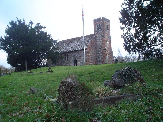
St. Swithun's, Nately Scures

St Swithun's Church is the smallest ancient Church of England parish church in the English county of Hampshire. Newnham and Nately Scures are part of the...

Newnham, Hampshire

Newnham is a village and parish in Hampshire, England. It is centred 4 miles (6.4 km) east of Basingstoke, and 1 mile (1.6 km) west of Hook. At the 2011...

Nately Scures

Nately Scures is a small village and former civil parish, now in the parish of Newnham, in the Basingstoke and Deane district of Hampshire, England. Its...

Up Nately LNR

Up Nately LNR is a 2.8-hectare (6.9-acre) local nature reserve in Up Nately in Hampshire. It is owned by Hampshire County Council and Surrey County Council...

Butter Wood

Butter Wood is a 133-hectare (330-acre) biological Site of Special Scientific Interest (SSSI) east of Basingstoke in Hampshire. Part of Up Nately LNR,...

Hook Common

Hook Common is a hamlet in the civil parish of Hook in the Hart district of Hampshire, England. It lies approximately 1 mile (1.6 km) south-west from Hook...

Up Nately

Up Nately is a small village and former civil parish, now in the parish of Mapledurwell and Up Nately, in the Basingstoke and Deane district, in Hampshire...

Andwell

Andwell is a village and former civil parish, now in the parish of Mapledurwell and Up Nately, in the Basingstoke and Deane district of Hampshire, England...

Nearby Amenities

Located within 500m of 51.272932,-0.99286006
Bus Stop
The Baredown
Bus: yes
Naptan AtcoCode: 1900HA010334
Naptan Bearing: W
Naptan CommonName: Baredown
Naptan Crossing: The Baredown
Naptan NaptanCode: hamgjwmj
Naptan Street: London Road
Naptan Verified: no
Public Transport: platform
Shelter: yes
Source: naptan_import
Lat/Long: 51.2732386/-0.9897208
Bus Stop
The Baredown
Bus: yes
Naptan AtcoCode: 1900HA010335
Naptan Bearing: E
Naptan CommonName: Baredown
Naptan Crossing: The Baredown
Naptan NaptanCode: hamgjwdw
Naptan Street: London Road
Naptan Verified: no
Public Transport: platform
Source: naptan_import
Lat/Long: 51.2734266/-0.9906629
Bus Stop
Blackstocks Lane
Bus: yes
Naptan AtcoCode: 1900HA010336
Naptan Bearing: E
Naptan CommonName: Nately Scures
Naptan Crossing: Crown Lane
Naptan NaptanCode: hamgjpwp
Naptan Street: London Road
Naptan Verified: no
Public Transport: platform
Source: naptan_import
Lat/Long: 51.2731363/-0.9987404
Bus Stop
Blackstocks Lane
Bus: yes
Naptan AtcoCode: 1900HA010337
Naptan Bearing: W
Naptan CommonName: Nately Scures
Naptan Crossing: Blackstocks Lane
Naptan NaptanCode: hamgjptw
Naptan Street: London Road
Naptan Verified: no
Public Transport: platform
Shelter: yes
Source: naptan_import
Lat/Long: 51.2728629/-0.9993771
Power: tower
Source: bing
Lat/Long: 51.2759253/-0.99479
Power: tower
Source: bing
Lat/Long: 51.2759597/-0.9912936
Power: tower
Lat/Long: 51.2748135/-0.9993046
Power: tower
Lat/Long: 51.2750309/-0.997138
Power: tower
Lat/Long: 51.275248/-0.9948853
Power: tower
Lat/Long: 51.2752681/-0.9930047
Power: tower
Lat/Long: 51.2752938/-0.9904418
Power: tower
Lat/Long: 51.2756688/-0.9880366
Nately Scures
Place: hamlet
Source: OS_OpenData_Streetview
Wikidata: Q15061816
Lat/Long: 51.2731978/-0.9897854
Tim Purslow Sales & Servicing
Brand: Mercedes, Land Rover
Shop: car_repair
Source: survey
Lat/Long: 51.2732707/-0.9860688
Grit Bin
Colour: blue
Operator: Hampshire County Council
Source: survey
Lat/Long: 51.2731026/-0.9890887
Post Box
Collection Plate: CP7
Collection Times: Mo-Fr 16:00; Sa 10:00
Last Checked: 2021-09-04
Operator: Royal Mail
Operator Wikidata: Q638098
Post Box Type: lamp
Ref: RG27 207
Royal Cypher: EIIR
Royal Cypher Wikidata: Q33102113
Source: survey
Lat/Long: 51.2732484/-0.9895718
Barrier: stile
Lat/Long: 51.2716677/-0.9876197
Barrier: stile
Lat/Long: 51.2715637/-0.9876795
The data included in this document is from www.openstreetmap.org. The data is made available under ODbL.

Have you been to Scures Hill?

Leave your review of Scures Hill below (or comments, questions and feedback).