Adwell Cop

Heritage Site in Oxfordshire South Oxfordshire

England

Adwell Cop

Farmland, Lewknor A footpath approaching Postcombe from Copcourt.  The land to the right contains a young crop of beans with more advance oil-seed rape seen ahead.
Farmland, Lewknor Credit: Andrew Smith

Adwell Cop is a historic heritage site located in Oxfordshire, England. Situated near the village of Adwell, it is a prominent landmark in the area. The Cop is an ancient woodland that has been preserved for its ecological and historical significance.

Covering an area of approximately 15 hectares, Adwell Cop is known for its diverse flora and fauna. The woodland is home to a variety of tree species, including oak, ash, beech, and birch. The rich vegetation provides a habitat for numerous bird species, small mammals, and insects.

The site also holds historical importance. Adwell Cop has been documented as a medieval hunting ground, dating back to the 12th century. It was part of the estate of the Abingdon Abbey and was used by the monks for hunting deer. The woodland has retained its original boundaries, making it a valuable archaeological site.

Adwell Cop is accessible to the public and offers opportunities for nature walks and birdwatching. There are designated trails that allow visitors to explore the woodland and observe its natural beauty. The site is well-maintained, with informative signage providing insights into its history and ecological significance.

In recent years, Adwell Cop has gained recognition for its conservation efforts. The woodland is managed by local conservation groups in collaboration with the landowners to ensure its preservation. The site is actively involved in biodiversity conservation, with ongoing initiatives to protect and enhance the flora and fauna within the Cop.

Overall, Adwell Cop is a significant heritage site in Oxfordshire, offering a glimpse into the region's history and providing a haven for nature enthusiasts.

If you have any feedback on the listing, please let us know in the comments section below.
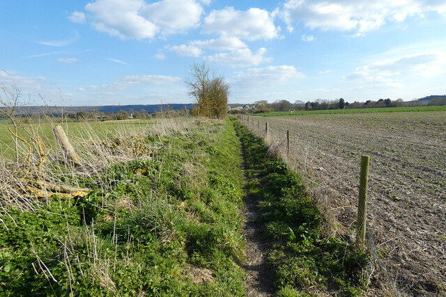
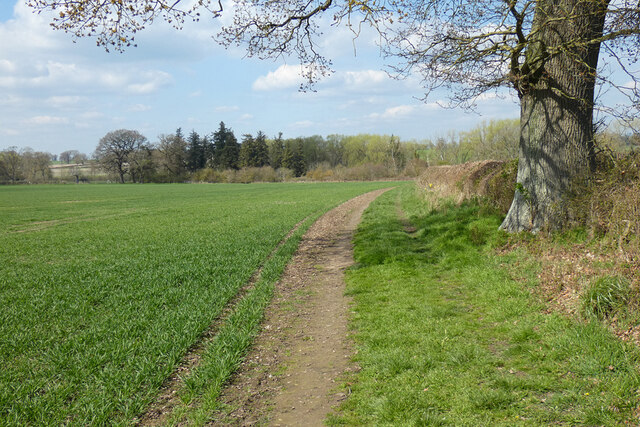
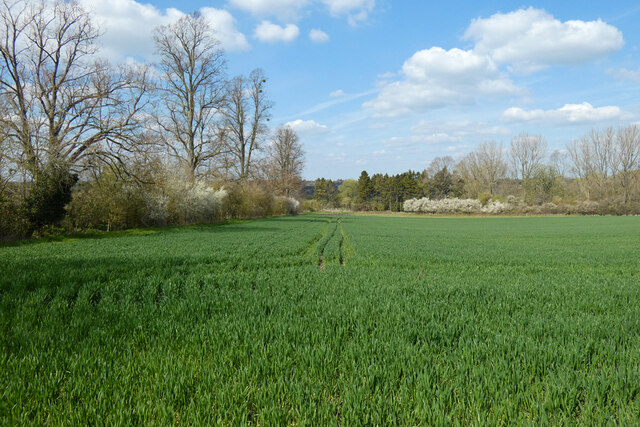
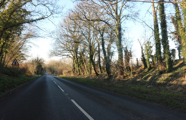
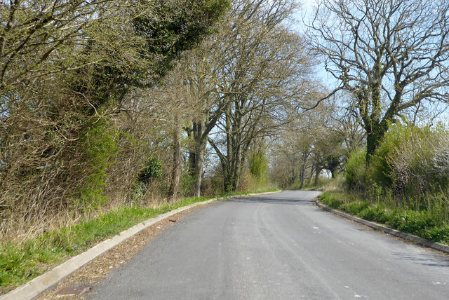
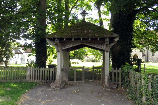
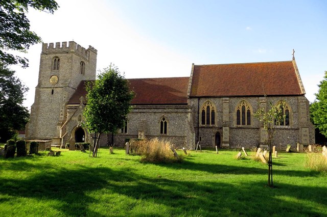
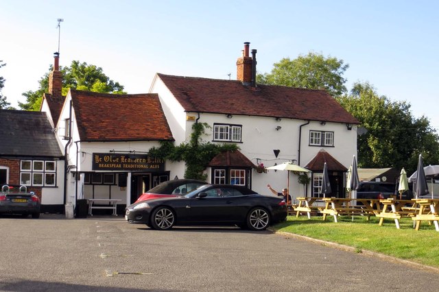
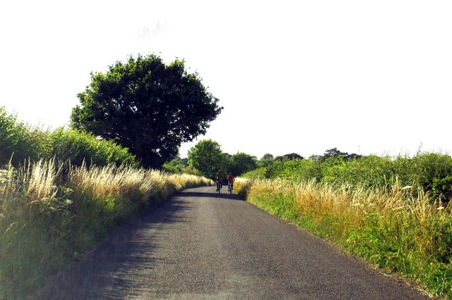
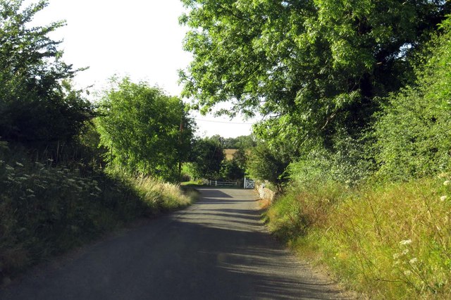
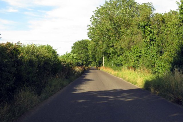
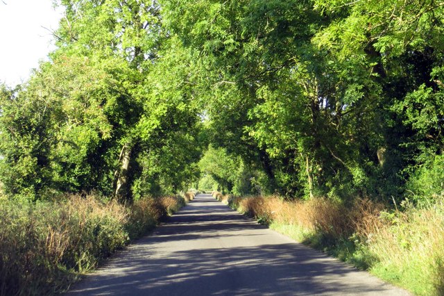
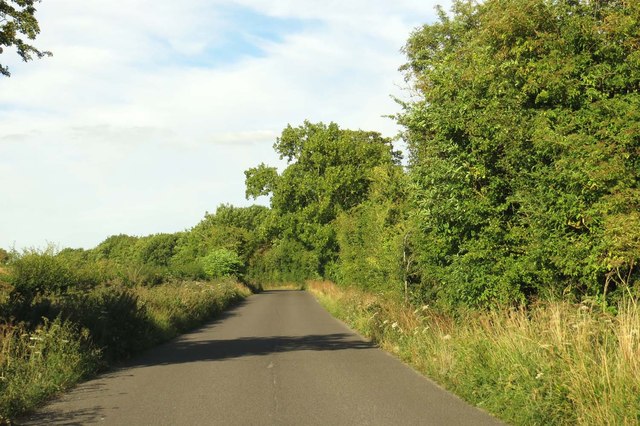
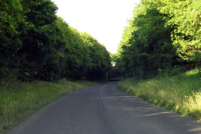
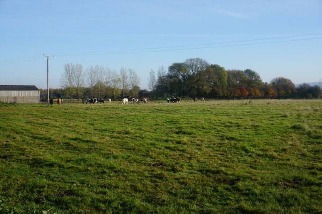
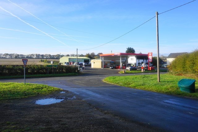
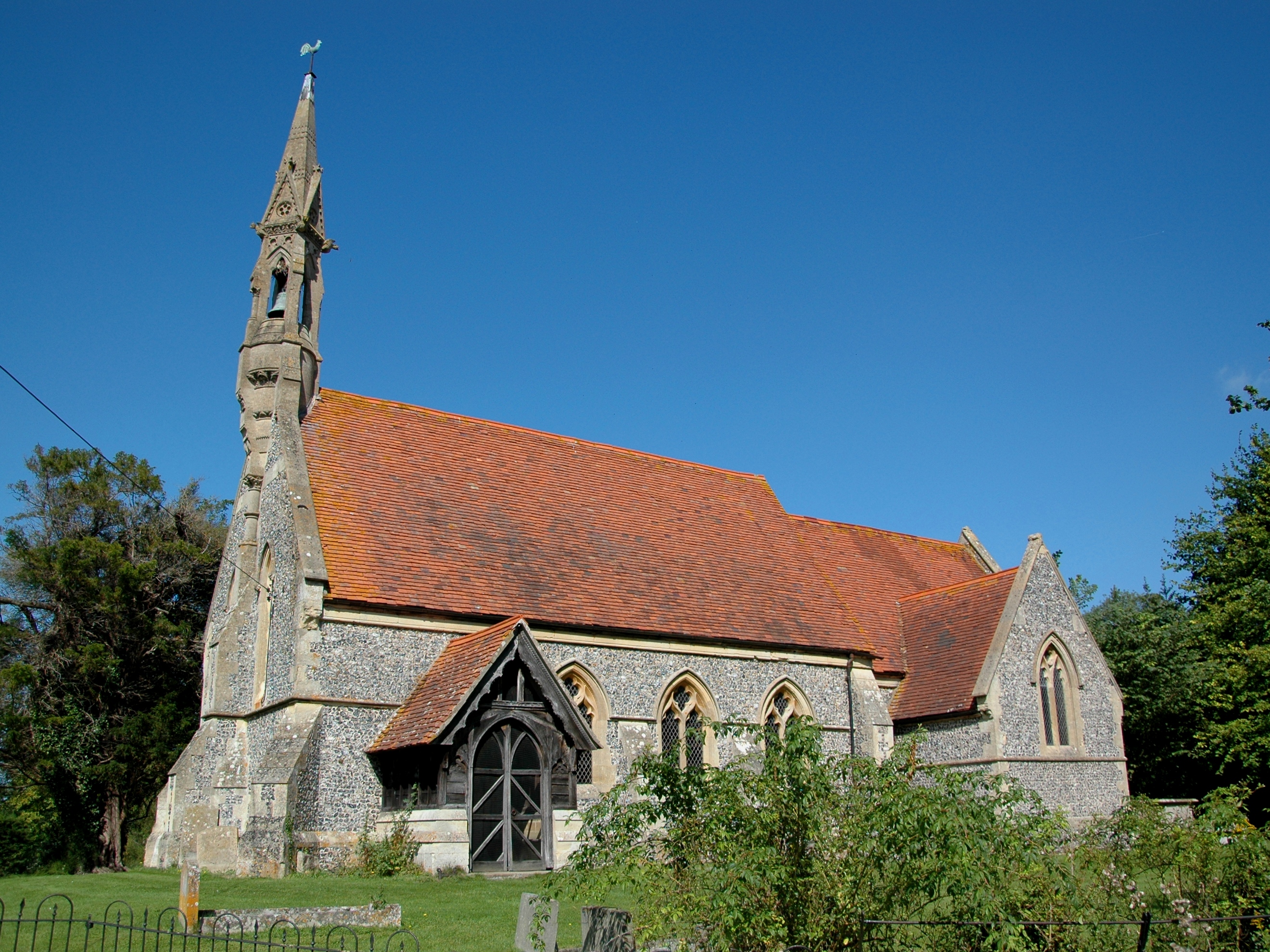
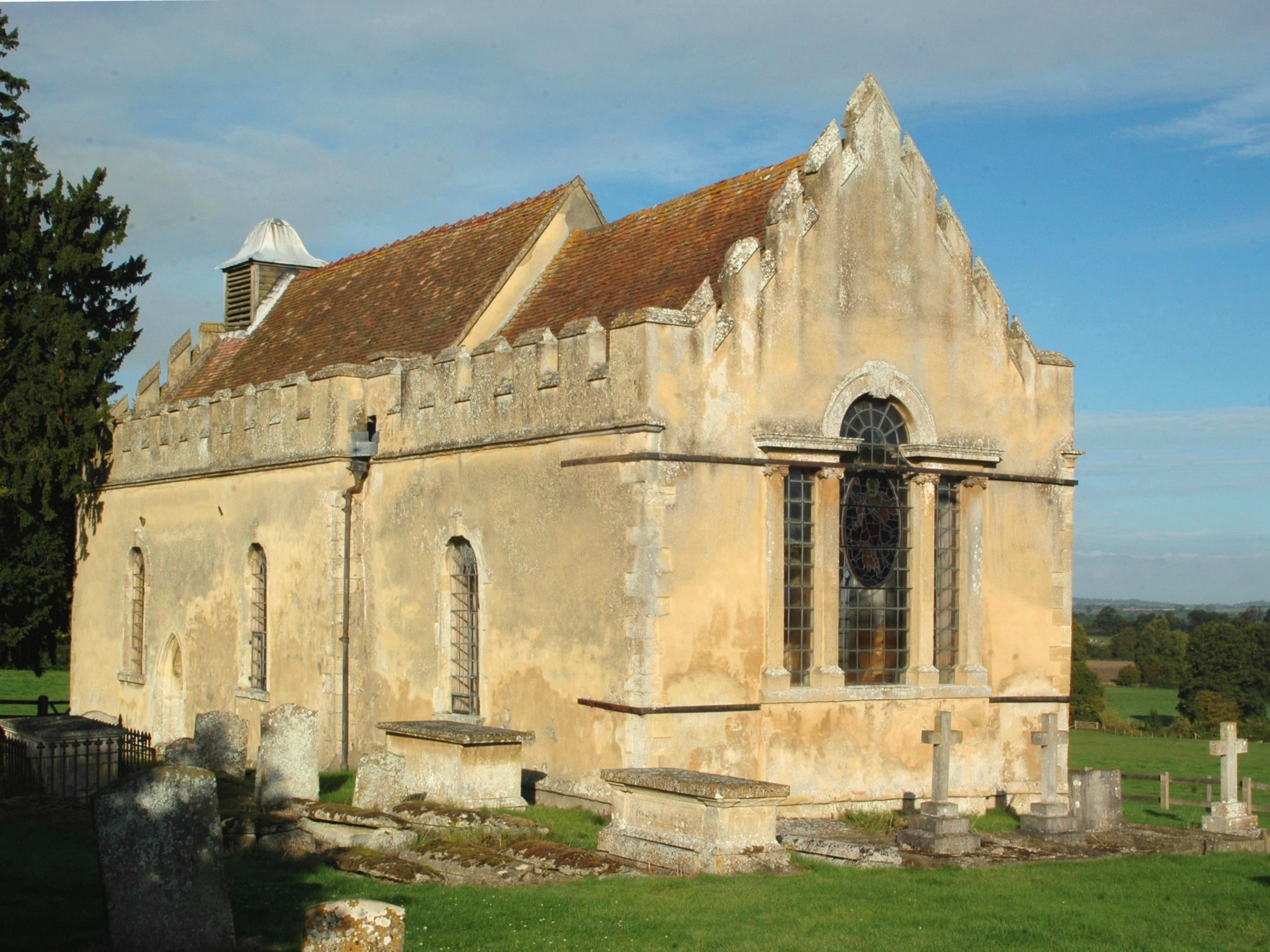
Adwell Cop Images

Images are sourced within 2km of 51.6858/-0.9841 or Grid Reference SU7099. Thanks to Geograph Open Source API. All images are credited.

Farmland, Lewknor A footpath approaching Postcombe from Copcourt.  The land to the right contains a young crop of beans with more advance oil-seed rape seen ahead.
Farmland, Lewknor
A footpath approaching Postcombe from Copcourt. The land to the right contains a young crop of beans with more advance oil-seed rape seen ahead.
Farmland, Shirburn On a footpath heading generally north-eastwards from Pyrton with options to go towards South Weston or Wheatfield.
Farmland, Shirburn
On a footpath heading generally north-eastwards from Pyrton with options to go towards South Weston or Wheatfield.
Farmland, Wheatfield Cereal on land dropping gently from the road between Adwell and Wheatfield.
Farmland, Wheatfield
Cereal on land dropping gently from the road between Adwell and Wheatfield.
London Road before Tetsworth
Road from A40 to B4014 Effectively the short side of a very elongated triangular junction.
Road from A40 to B4014
Effectively the short side of a very elongated triangular junction.
The lychgate to St Margaret's Church
St Margaret's Church in Lewknor The Church of England parish church was built some time after 1146 and enlarged in the 14th century.
St Margaret's Church in Lewknor
The Church of England parish church was built some time after 1146 and enlarged in the 14th century.
St Margaret's Church in Lewknor The Church of England parish church was built some time after 1146 and enlarged in the 14th century.
St Margaret's Church in Lewknor
The Church of England parish church was built some time after 1146 and enlarged in the 14th century.
Ye Olde Leathern Bottle in Lewknor Ye Olde Leathern Bottle is a Brakspear pub.
Ye Olde Leathern Bottle in Lewknor
Ye Olde Leathern Bottle is a Brakspear pub.
Weston Road out of Lewknor
Weston Road in South Weston
Salt Lane to Postcombe
Up Salt Lane to Postcombe
Salt Lane runs under the M40 to Postcombe
A field of cattle near Postcombe A footpath crosses this field although its route is not completely obvious.
A field of cattle near Postcombe
A footpath crosses this field although its route is not completely obvious.
The end of Chalford Road Chalford Road meets London Road on the edge of the village of Postcombe. London Road is the A40, but it is not nearly so busy now that the nearby M40 has taken a lot of its traffic.
The end of Chalford Road
Chalford Road meets London Road on the edge of the village of Postcombe. London Road is the A40, but it is not nearly so busy now that the nearby M40 has taken a lot of its traffic.
Show me another place!

Adwell Cop is located at Grid Ref: SU7099 (Lat: 51.6858, Lng: -0.9841)

Administrative County: Oxfordshire

District: South Oxfordshire

Police Authority: Thames Valley

What 3 Words

///notched.paddocks.teach. Near Watlington, Oxfordshire

Related Wikis

Nearby Amenities

Located within 500m of 51.6858,-0.9841
Adwell Cop
Ele: 144
Natural: peak
Lat/Long: 51.6860671/-0.9840453
The data included in this document is from www.openstreetmap.org. The data is made available under ODbL.

Have you been to Adwell Cop ?

Leave your review of Adwell Cop below (or comments, questions and feedback).