Postcombe

Settlement in Oxfordshire South Oxfordshire

England

Postcombe

Farmland, Aston Rowant The bridleway from Copcourt approaches Chalford in mixed farmland.
Farmland, Aston Rowant Credit: Andrew Smith

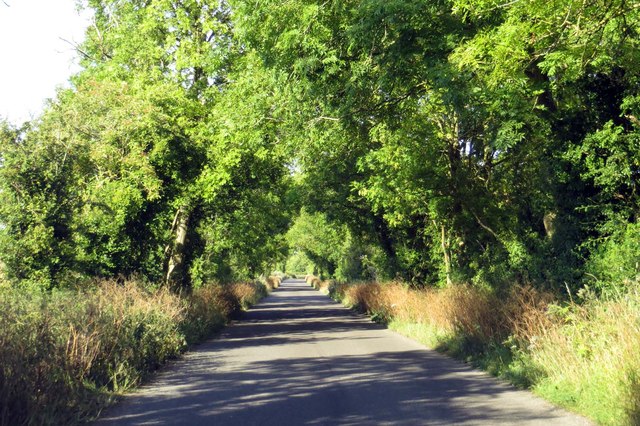
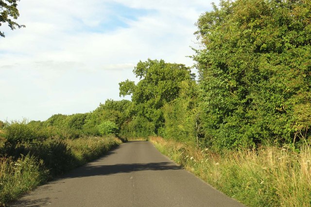
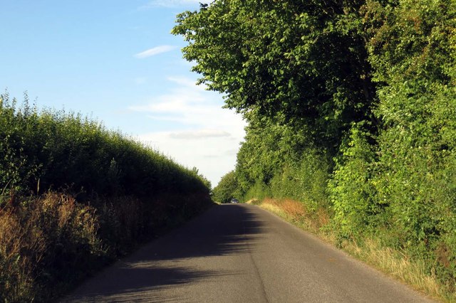
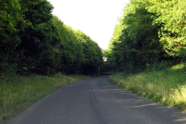
Postcombe is a small village located in the county of Oxfordshire, England. Situated approximately 8 miles southeast of the historic city of Oxford, Postcombe is part of the district of South Oxfordshire. The village is nestled in the Chiltern Hills, an Area of Outstanding Natural Beauty, offering picturesque landscapes and a tranquil atmosphere.

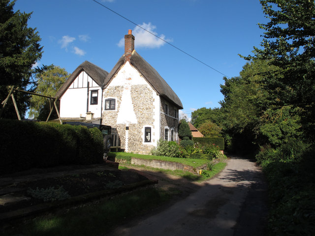
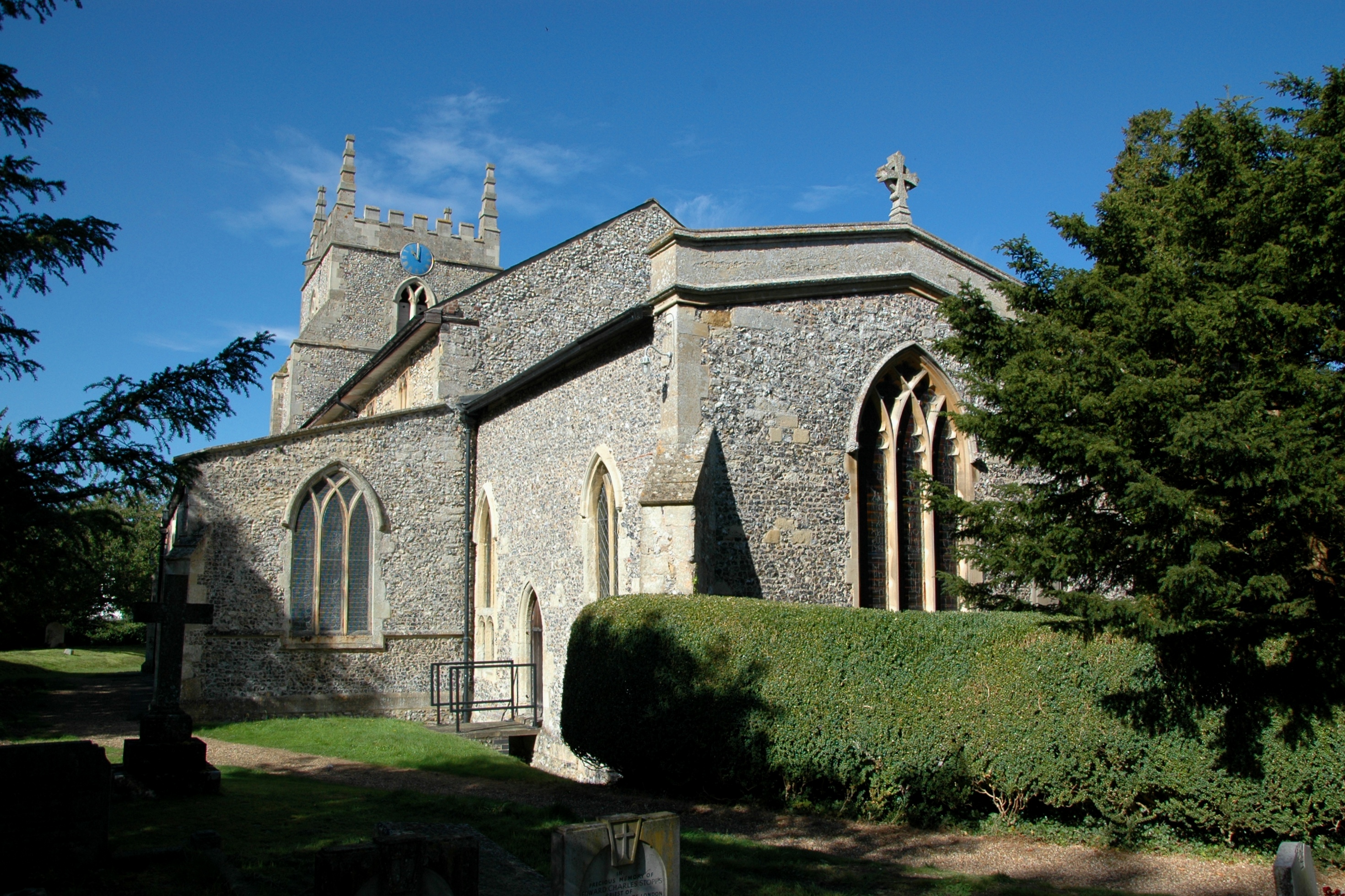
Postcombe is primarily a residential area, with a population of around 300 residents. The village is characterized by its traditional English charm, featuring a collection of quaint cottages and period houses. The community is tight-knit, with a friendly and welcoming atmosphere.

The village benefits from its proximity to major transport links, including the M40 motorway, which runs adjacent to Postcombe. This provides convenient access to Oxford, London, and Birmingham, making it an attractive location for commuters. Additionally, the nearby Haddenham and Thame Parkway railway station offers further transportation options.

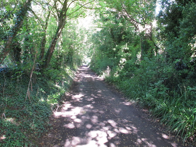
Although small in size, Postcombe boasts a number of amenities for its residents and visitors. The village is home to a village hall, which hosts various community events and activities. The surrounding countryside offers ample opportunities for outdoor pursuits such as walking, cycling, and horse riding.

Overall, Postcombe is an idyllic village that offers a peaceful and picturesque living environment. Its close proximity to major transport links and the nearby city of Oxford make it an appealing location for those seeking a rural retreat within easy reach of urban amenities.

If you have any feedback on the listing, please let us know in the comments section below.
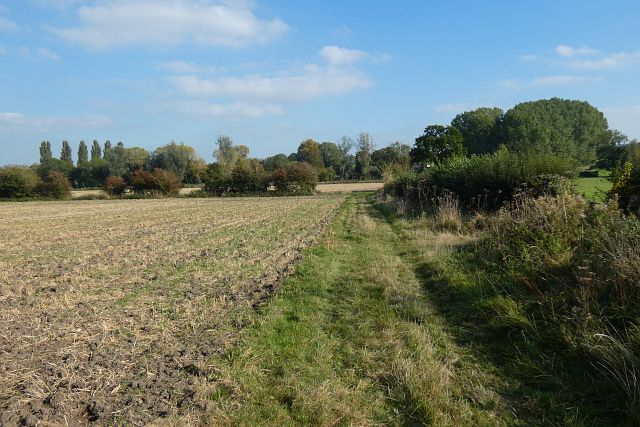
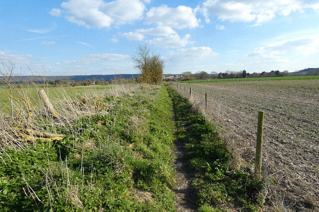
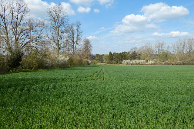
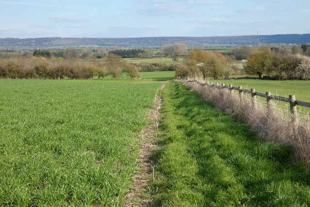
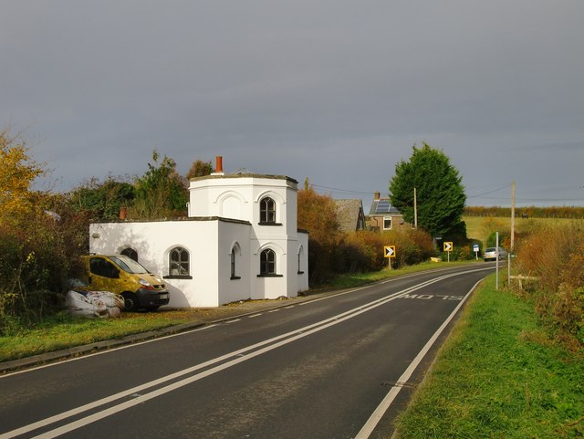
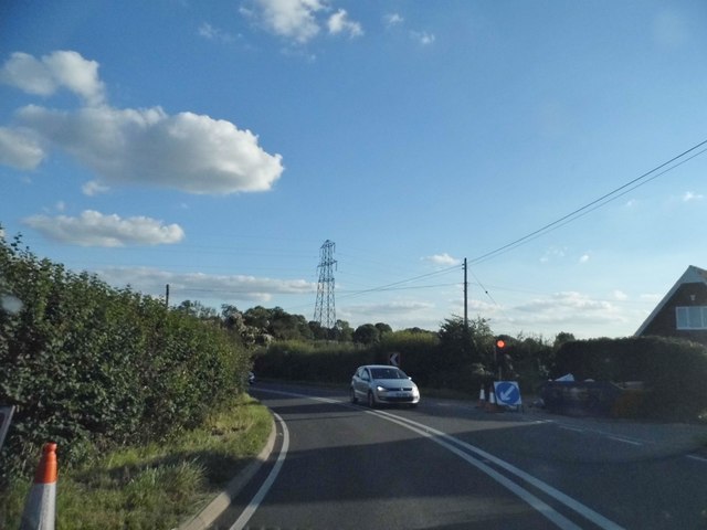
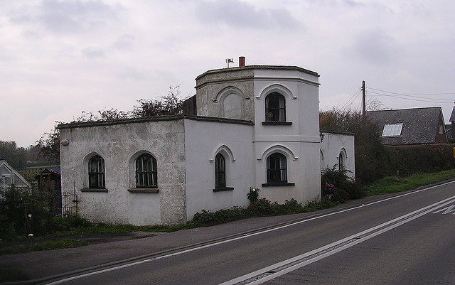
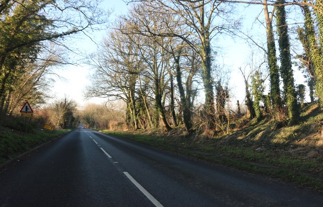
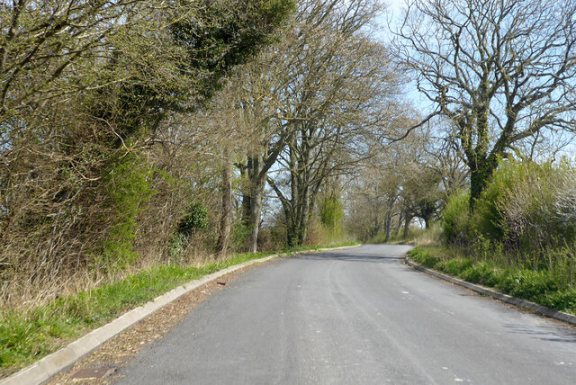
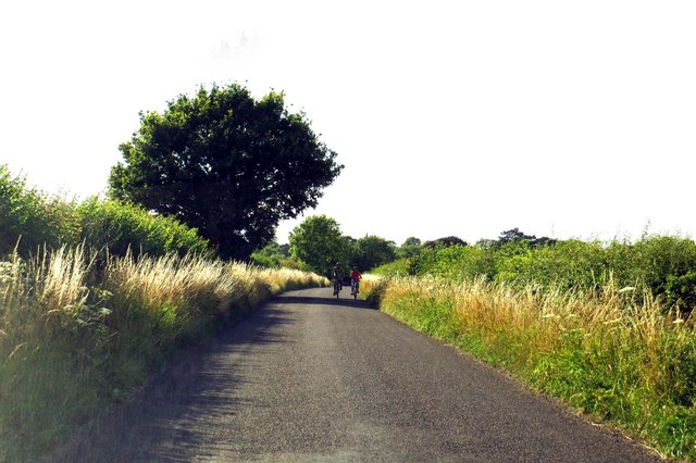
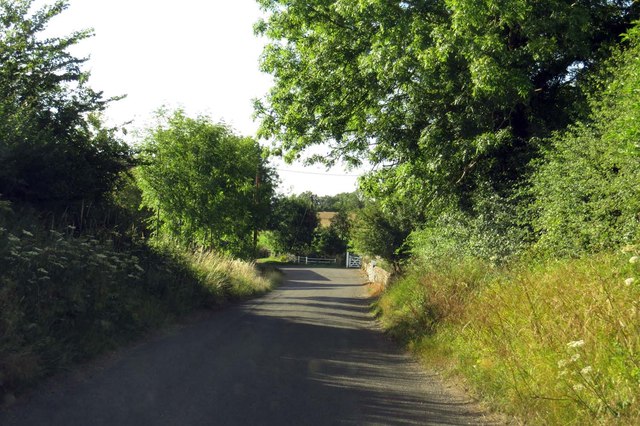
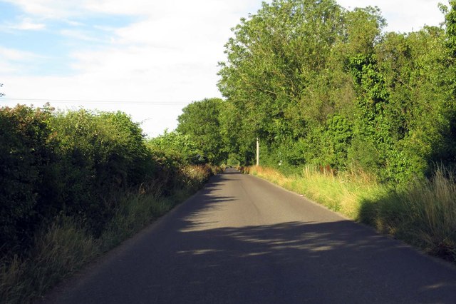
Postcombe Images

Images are sourced within 2km of 51.692631/-0.977391 or Grid Reference SU7099. Thanks to Geograph Open Source API. All images are credited.

Farmland, Aston Rowant The bridleway from Copcourt approaches Chalford in mixed farmland.
Farmland, Aston Rowant
The bridleway from Copcourt approaches Chalford in mixed farmland.
Farmland, Lewknor A footpath approaching Postcombe from Copcourt.  The land to the right contains a young crop of beans with more advance oil-seed rape seen ahead.
Farmland, Lewknor
A footpath approaching Postcombe from Copcourt. The land to the right contains a young crop of beans with more advance oil-seed rape seen ahead.
Farmland, Wheatfield Cereal on land dropping gently from the road between Adwell and Wheatfield.
Farmland, Wheatfield
Cereal on land dropping gently from the road between Adwell and Wheatfield.
Farmland, Tetsworth A footpath descending towards Copcourt from the B4012.
Farmland, Tetsworth
A footpath descending towards Copcourt from the B4012.
Attington Toll House Perhaps past owners of the Attington estate excised tolls as a revenue-raising measure; perhaps they simply wished to discourage passage across the estate.  The style of the building, with its Gothick windows, suggests a date of circa 1800.
Attington Toll House
Perhaps past owners of the Attington estate excised tolls as a revenue-raising measure; perhaps they simply wished to discourage passage across the estate. The style of the building, with its Gothick windows, suggests a date of circa 1800.
Temporary lights on Thame Park Road, Tetsworth
Old Toll House, Tetsworth Toll House in the parish of Tetsworth, Attington Toll House, Thame Road (B4012), OX9 7DA.

Grade II listed.
List Entry Number: 1059661 <span class="nowrap"><a title="https://historicengland.org.uk/listing/the-list/list-entry/1059661" rel="nofollow ugc noopener" href="https://historicengland.org.uk/listing/the-list/list-entry/1059661">Link</a><img style="margin-left:2px;" alt="External link" title="External link - shift click to open in new window" src="https://s1.geograph.org.uk/img/external.png" width="10" height="10"/></span>

Surveyed

Milestone Society National ID: OX.TET
Old Toll House, Tetsworth
Toll House in the parish of Tetsworth, Attington Toll House, Thame Road (B4012), OX9 7DA. Grade II listed. List Entry Number: 1059661 LinkExternal link Surveyed Milestone Society National ID: OX.TET
London Road before Tetsworth
Road from A40 to B4014 Effectively the short side of a very elongated triangular junction.
Road from A40 to B4014
Effectively the short side of a very elongated triangular junction.
Weston Road out of Lewknor
Weston Road in South Weston
Salt Lane to Postcombe
Up Salt Lane to Postcombe
Salt Lane runs under the M40 to Postcombe
Thatched cottage, Church Lane, Aston Rowant
Church Lane, Aston Rowant - part of old "London Weye" The Aston Rowant Discovery Trail signs say that Church Lane is thought to be on the London Weye, a route to Oxford used in the Middle ages, and used by the future Queen Elizabeth I when released from the Tower of London and banished to country confinement in Woodstock. It is now a public bridleway.
Church Lane, Aston Rowant - part of old "London Weye"
The Aston Rowant Discovery Trail signs say that Church Lane is thought to be on the London Weye, a route to Oxford used in the Middle ages, and used by the future Queen Elizabeth I when released from the Tower of London and banished to country confinement in Woodstock. It is now a public bridleway.
Show me another place!

Postcombe is located at Grid Ref: SU7099 (Lat: 51.692631, Lng: -0.977391)

Administrative County: Oxfordshire

District: South Oxfordshire

Police Authority: Thames Valley

What 3 Words

///champions.nickname.informs. Near Chinnor, Oxfordshire

Related Wikis

Postcombe

Postcombe is a village in the civil parish of Lewknor. It is approximately 4 miles (6.4 km) south of Thame in Oxfordshire, England, and about 2 miles...

Adwell

Adwell is a village and civil parish about 3 miles (5 km) south of Thame in South Oxfordshire. The parish covers 443 acres (179 ha), == Demography == The...

Adwell House

Adwell House, Adwell, Oxfordshire, is a Grade II* listed building and the family seat of the Birch Reynardson family. == References == == External links... ==

Wheatfield, Oxfordshire

Wheatfield is a civil parish and deserted medieval village about 4 miles (6.4 km) south of Thame in Oxfordshire. Wheatfield's toponym is derived from...

South Weston

South Weston is a village and former civil parish, now in the parish of Lewknor, in the South Oxfordshire district, in the county of Oxfordshire, England...

Aston Rowant

Aston Rowant (anciently Aston Rohant) is a village, civil parish and former manor about 4+1⁄2 miles (7 km) south of Thame in South Oxfordshire, England...

London Parachute School

The London Parachute School is a BPA affiliated parachuting centre and skydiving drop zone at Chiltern Park Aerodrome at Ipsden, near Wallingford, Oxfordshire...

Lewknor

Lewknor is a village and civil parish about 5 miles (8 km) south of Thame in Oxfordshire.The civil parish includes the villages of Postcombe and South...

Nearby Amenities

Located within 500m of 51.692631,-0.977391
Postcombe
Place: village
Source: OS_OpenData_StreetView
Wikidata: Q7234130
Wikipedia: en:Postcombe
Lat/Long: 51.6913341/-0.9753053
Fuel
Murco
Brand: Murco
Brand Wikidata: Q16998281
Operator: Murco
Lat/Long: 51.6896299/-0.9732771
Bus Stop
Salt Lane
Bus: yes
Naptan AtcoCode: 340000618GC
Naptan Bearing: NW
Naptan CommonName: Salt Lane
Naptan Indicator: Corner
Naptan Landmark: Englands Rose PH
Naptan NaptanCode: oxfatapt
Naptan Street: London Road A40
Naptan Verified: no
Public Transport: platform
Source: naptan_import
Lat/Long: 51.6899195/-0.9739174
Bus Stop
Salt Lane
Bus: yes
Naptan AtcoCode: 340000618OSL
Naptan Bearing: SE
Naptan CommonName: Salt Lane
Naptan Indicator: Opposite
Naptan Landmark: Englands Rose PH
Naptan NaptanCode: oxfatapm
Naptan Street: London Road A40
Naptan Verified: no
Public Transport: platform
Source: naptan_import
Lat/Long: 51.6901848/-0.9744322
Salt Lane
Naptan AtcoCode: 340003316NOR
Naptan Bearing: NE
Naptan BusStopType: CUS
Naptan CommonName: Salt Lane
Naptan Indicator: Northbound
Naptan Landmark: Amberleigh House
Naptan NaptanCode: oxfgmpdj
Naptan Street: Salt Lane
Naptan Verified: no
Source: naptan_import
Lat/Long: 51.6899572/-0.9751463
Salt Lane
Naptan AtcoCode: 340003316SOU
Naptan Bearing: SW
Naptan BusStopType: CUS
Naptan CommonName: Salt Lane
Naptan Indicator: Southbound
Naptan Landmark: Amberleigh House
Naptan NaptanCode: oxfgmpdm
Naptan Street: Salt Lane
Naptan Verified: no
Source: naptan_import
Lat/Long: 51.6899382/-0.975031
Bus Stop
Postcombe Area Pick Up Zone
Bus: yes
Naptan AtcoCode: 340005006FLX
Naptan Bearing: S
Naptan CommonName: Postcombe Area Pick Up Zone
Naptan Indicator: Flexible
Naptan Landmark: Village
Naptan NaptanCode: oxfawpwd
Naptan Street: Postcombe Village
Naptan Verified: no
Public Transport: platform
Source: naptan_import
Lat/Long: 51.6907439/-0.9760665
Man Made: tower
Source: Bing;survey
Tower Type: communication
Lat/Long: 51.6916538/-0.9818103
Post Box
Post Box Type: lamp
Lat/Long: 51.6903138/-0.9753118
Barrier: stile
Bicycle: no
Foot: yes
Material: wood
Stile: stepover
Lat/Long: 51.6936725/-0.974414
Barrier: stile
Bicycle: no
Foot: yes
Material: wood
Stile: stepover
Lat/Long: 51.6939523/-0.9732531
Barrier: stile
Bicycle: no
Foot: yes
Material: wood
Stile: stepover
Lat/Long: 51.6939438/-0.9732026
Barrier: stile
Bicycle: no
Foot: yes
Material: wood
Stile: stepover
Lat/Long: 51.6941393/-0.9724462
Barrier: stile
Bicycle: no
Foot: yes
Material: wood
Stile: stepover
Lat/Long: 51.6947815/-0.9717483
Barrier: stile
Bicycle: no
Foot: yes
Material: wood
Stile: stepover
Lat/Long: 51.6965082/-0.9777024
Barrier: kissing_gate
Bicycle: no
Foot: yes
Lat/Long: 51.6951068/-0.9772587
Barrier: stile
Bicycle: no
Foot: yes
Material: wood
Stile: stepover
Lat/Long: 51.6945433/-0.9720873
Barrier: stile
Bicycle: no
Foot: yes
Stile: stepover
Lat/Long: 51.6945386/-0.9720995
Barrier: stile
Bicycle: no
Foot: yes
Material: wood
Stile: stepover
Lat/Long: 51.6898415/-0.97241
Barrier: kissing_gate
Bicycle: no
Foot: yes
Lat/Long: 51.6949659/-0.977267
Telephone
Booth: K6
Covered: booth
Lat/Long: 51.6907771/-0.9761422
Direction: 190
Generator Method: photovoltaic
Generator Output Electricity: yes
Generator Solar Modules: 18
Generator Source: solar
Generator Type: solar_photovoltaic_panel
Location: roof
Power: generator
Lat/Long: 51.6938037/-0.9754784
Direction: 190
Generator Method: photovoltaic
Generator Output Electricity: yes
Generator Solar Modules: 16
Generator Source: solar
Generator Type: solar_photovoltaic_panel
Location: roof
Power: generator
Lat/Long: 51.6936546/-0.9754512
Direction: 205
Generator Method: photovoltaic
Generator Output Electricity: yes
Generator Solar Modules: 14
Generator Source: solar
Generator Type: solar_photovoltaic_panel
Location: roof
Power: generator
Lat/Long: 51.6910569/-0.9771337
The data included in this document is from www.openstreetmap.org. The data is made available under ODbL.

Have you been to Postcombe?

Leave your review of Postcombe below (or comments, questions and feedback).