Postling
Settlement in Kent Shepway
England
Postling
The requested URL returned error: 429 Too Many Requests
If you have any feedback on the listing, please let us know in the comments section below.
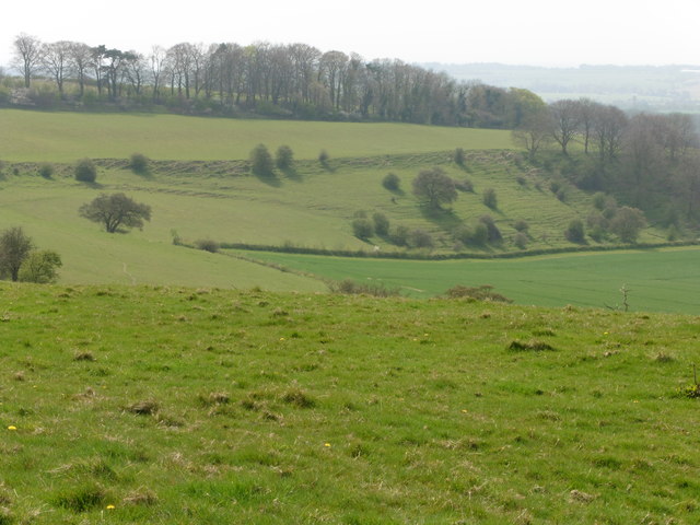
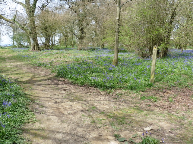
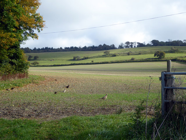
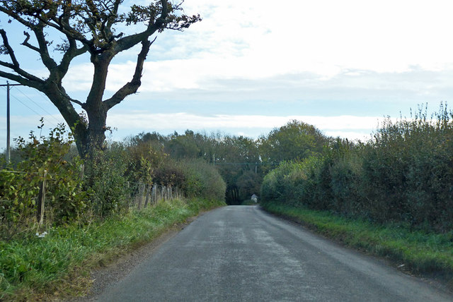
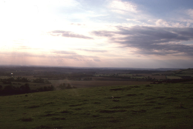
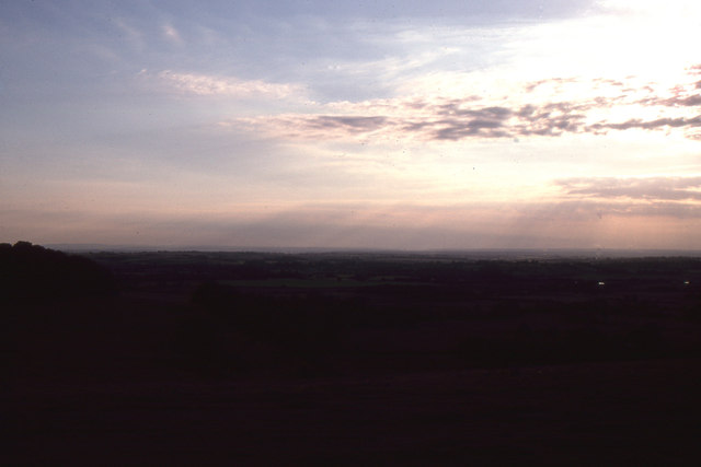
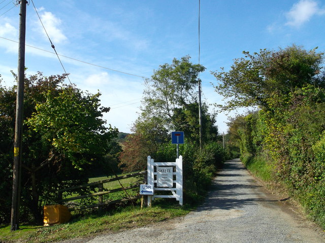
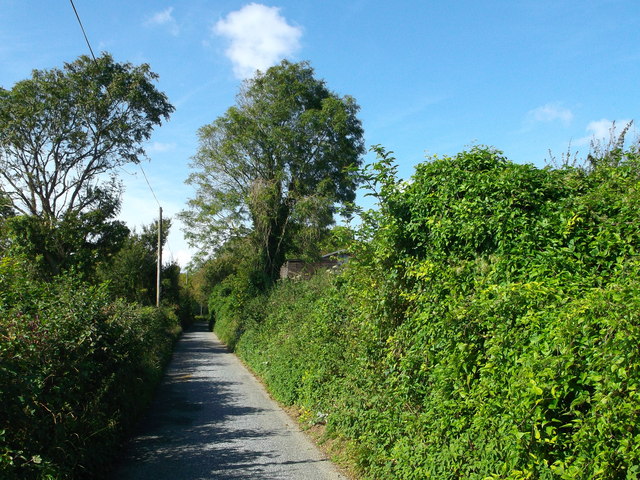
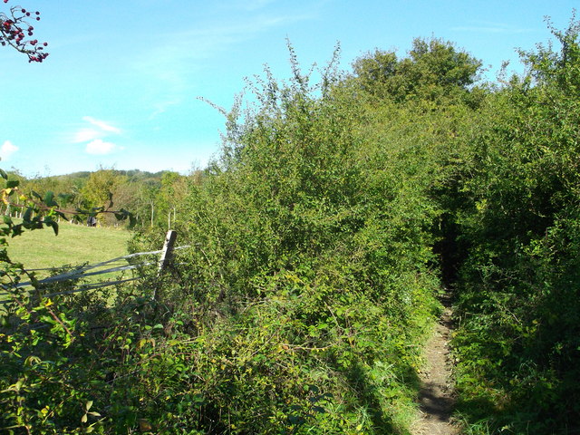
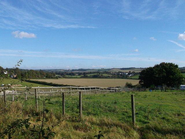
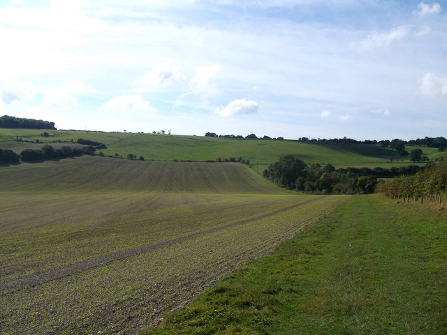
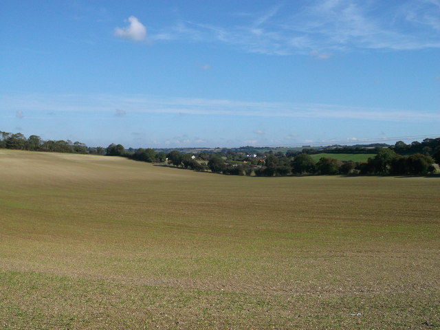
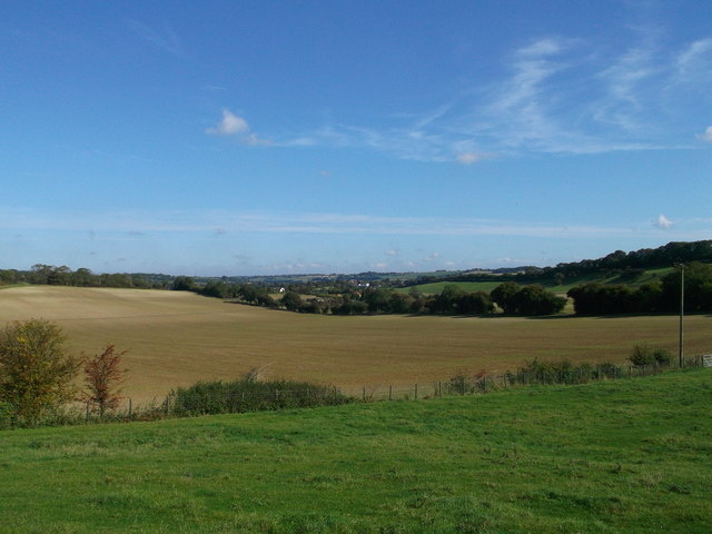
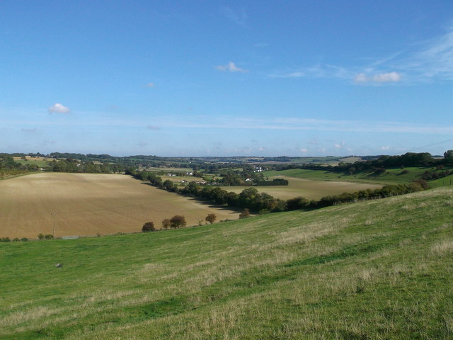
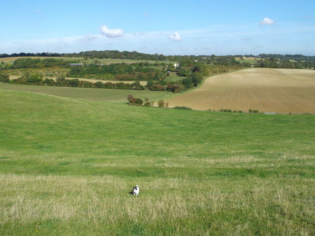
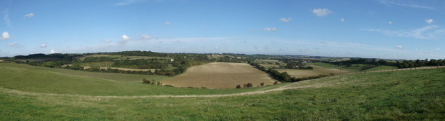
Postling Images
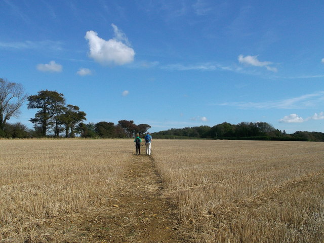
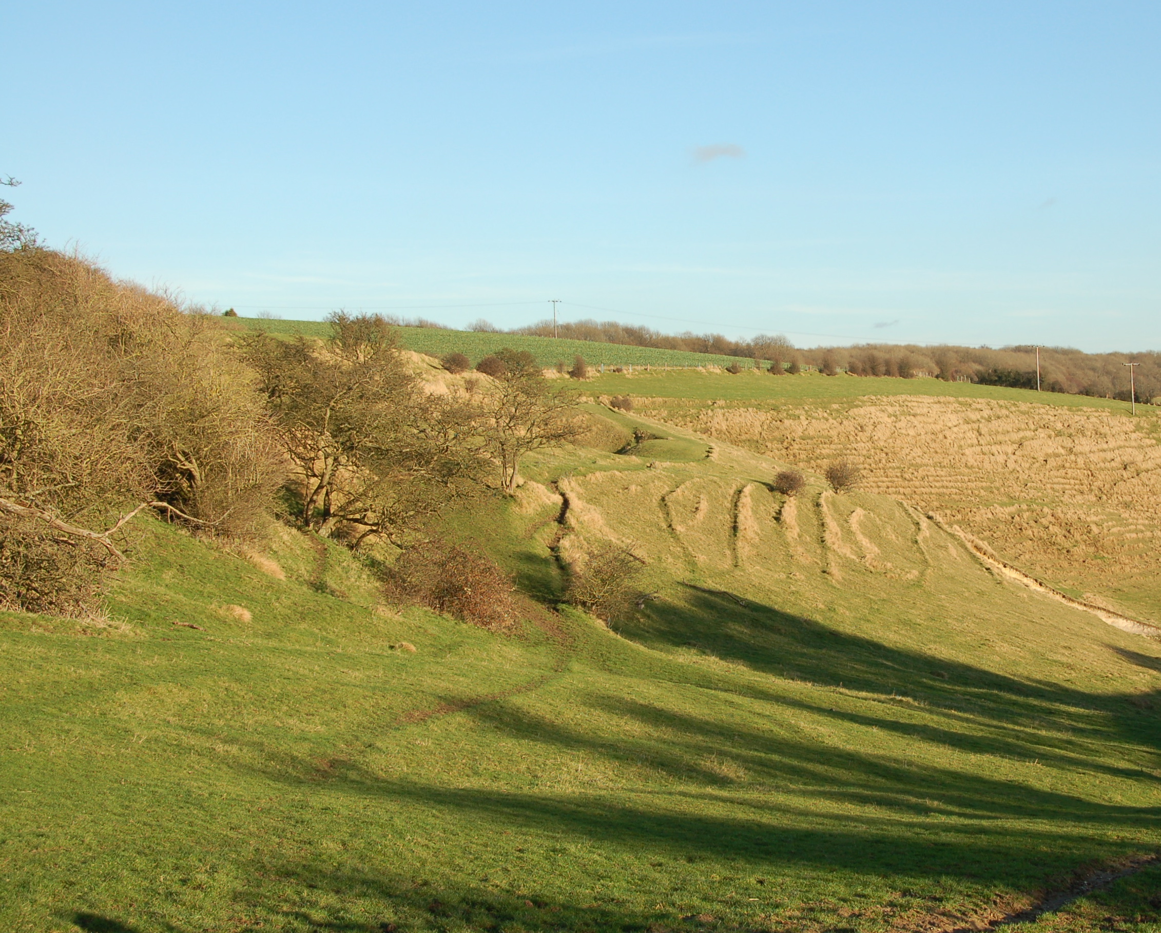
Images are sourced within 2km of 51.110824/1.0646394 or Grid Reference TR1439. Thanks to Geograph Open Source API. All images are credited.

Postling is located at Grid Ref: TR1439 (Lat: 51.110824, Lng: 1.0646394)
Administrative County: Kent
District: Shepway
Police Authority: Kent
What 3 Words
///sunshine.gladiator.popping. Near Lyminge, Kent
Nearby Locations
Related Wikis

Postling
Postling is a village and civil parish situated near the Roman road of Stone Street, about 17 miles (27 km) south of Canterbury, Kent, in South East England...
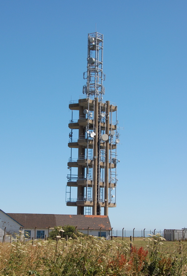
Tolsford Hill BT Tower
Tolsford Hill BT Tower is a telecommunication tower built of reinforced concrete at Tolsford Hill on the North Downs near Folkestone, Kent. Tolsford Hill...

Newbarn
Newbarn is a hamlet around a crossroads northwest of Etchinghill in Kent, England. Etchinghill Golf Club is on the road between the two. Tolsford Hill...
Farthing Common
Farthing Common is an area of common land about 10 km northwest of Folkestone in East Kent. It is one of the highest points of the North Downs at 185 metres...
Nearby Amenities
Located within 500m of 51.110824,1.0646394Have you been to Postling?
Leave your review of Postling below (or comments, questions and feedback).