Postlip

Settlement in Gloucestershire Tewkesbury

England

Postlip

Harveys Lane, Winchcombe A residential no through road by which the Winchcombe Way and Gloucestershire Way leave Winchcombe.
Harveys Lane, Winchcombe Credit: Bill Boaden

The requested URL returned error: 429 Too Many Requests

If you have any feedback on the listing, please let us know in the comments section below.
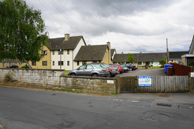
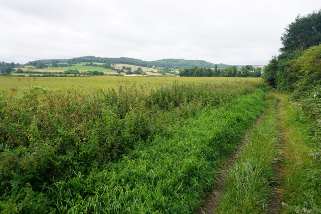
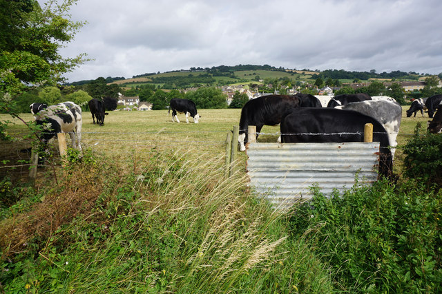
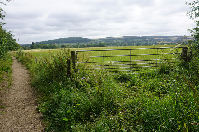
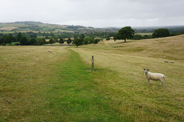
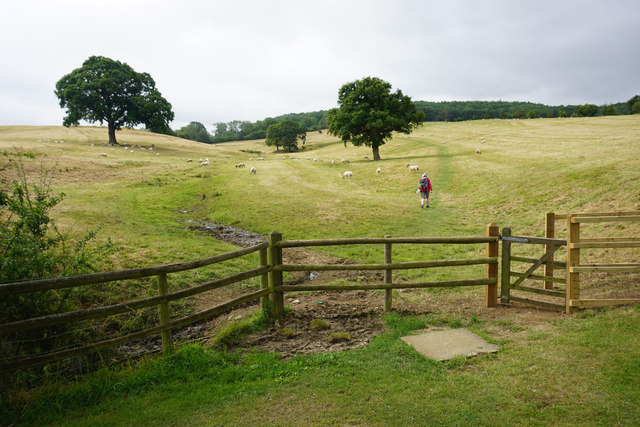
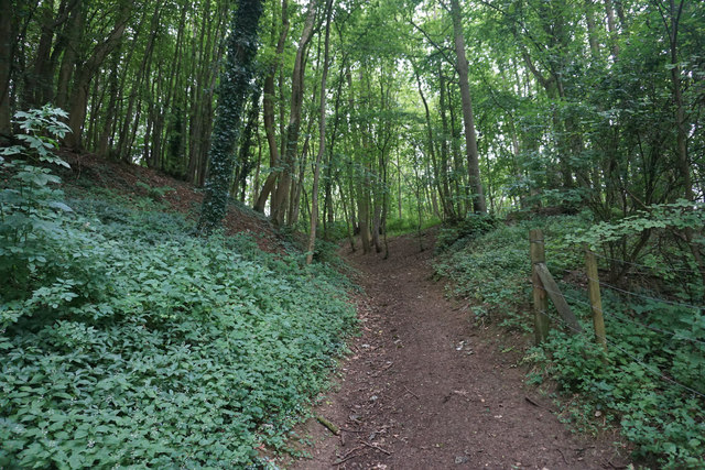
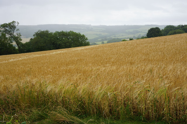
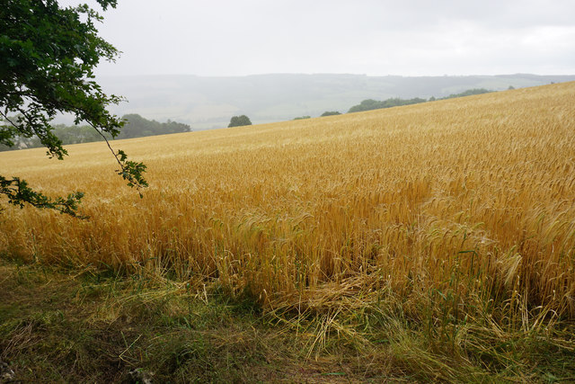
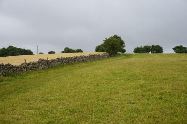
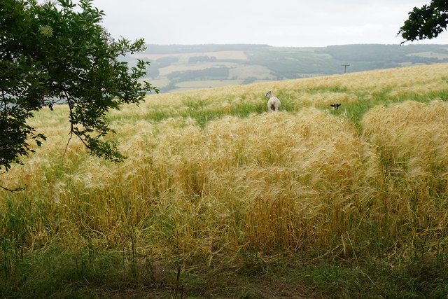
Postlip Images

Images are sourced within 2km of 51.943439/-1.990366 or Grid Reference SP0027. Thanks to Geograph Open Source API. All images are credited.

Harveys Lane, Winchcombe A residential no through road by which the Winchcombe Way and Gloucestershire Way leave Winchcombe.
Harveys Lane, Winchcombe
A residential no through road by which the Winchcombe Way and Gloucestershire Way leave Winchcombe.
Back Lane, Winchcombe Heading into Winchcombe with the tower of St Peter's Church visible ahead.
Back Lane, Winchcombe
Heading into Winchcombe with the tower of St Peter's Church visible ahead.
Langley Close, Winchcombe A scheme of supported social housing.
Langley Close, Winchcombe
A scheme of supported social housing.
Abbey Fields, Winchcombe Not very much is left of the abbey. Ahead is St Peter's Church and you can also see some signals in the railway museum.
Abbey Fields, Winchcombe
Not very much is left of the abbey. Ahead is St Peter's Church and you can also see some signals in the railway museum.
Diverging paths near Winchcombe Both branches reach Vineyard Street. St Peter's Church stands tall to the left.
Diverging paths near Winchcombe
Both branches reach Vineyard Street. St Peter's Church stands tall to the left.
Fieldside path near Winchcombe Heading away from the town and towards the hills above Postlip. Breakheart Plantation is covering much of the visible hill.
Fieldside path near Winchcombe
Heading away from the town and towards the hills above Postlip. Breakheart Plantation is covering much of the visible hill.
Cows near Winchcombe None was sufficiently interested in me to raise its head. The path is traversing the south eastern side of Winchcombe and part of the town is visible behind.
Cows near Winchcombe
None was sufficiently interested in me to raise its head. The path is traversing the south eastern side of Winchcombe and part of the town is visible behind.
Path and field near Winchcombe The land is part of the valley of the Isbourne with the Cotswold escarpment circling round.
Path and field near Winchcombe
The land is part of the valley of the Isbourne with the Cotswold escarpment circling round.
Winchcombe Cricket Club It appears to be part of the Corndean estate, a little out of the town.
Winchcombe Cricket Club
It appears to be part of the Corndean estate, a little out of the town.
Private road on the edge of Winchcombe All the houses go by name only.
Private road on the edge of Winchcombe
All the houses go by name only.
The Cotswold Way above Winchcombe The path is on the slope of the escarpment, with Winchcombe visible ahead. The sheep are on the Corndean estate.
The Cotswold Way above Winchcombe
The path is on the slope of the escarpment, with Winchcombe visible ahead. The sheep are on the Corndean estate.
The Cotswold Way leaving the Isbourne valley There is a steady climb through a large sheep field which belongs to the Corndean estate.
The Cotswold Way leaving the Isbourne valley
There is a steady climb through a large sheep field which belongs to the Corndean estate.
Woodland path near Corndean Hall Continuing the steady climb up from Winchcombe along the Cotswold Way.
Woodland path near Corndean Hall
Continuing the steady climb up from Winchcombe along the Cotswold Way.
Private woodland near Corndean Hall The Cotswold way has to do some sharp angles to negotiate this part of the climb from Winchcombe, avoiding private land.
Private woodland near Corndean Hall
The Cotswold way has to do some sharp angles to negotiate this part of the climb from Winchcombe, avoiding private land.
Hillside barley field A rain shower is passing in the valley beyond.
Hillside barley field
A rain shower is passing in the valley beyond.
Barley field above Humblebee Cottages Seen during a rain shower.
Barley field above Humblebee Cottages
Seen during a rain shower.
The Cotswold Way near Belas Knap This is almost the top of the hill after quite a long climb from Winchcombe.
The Cotswold Way near Belas Knap
This is almost the top of the hill after quite a long climb from Winchcombe.
Sheep in a barley field near Belas Knap You feel that they weren't supposed to be there.
Sheep in a barley field near Belas Knap
You feel that they weren't supposed to be there.
Show me another place!

Postlip is located at Grid Ref: SP0027 (Lat: 51.943439, Lng: -1.990366)

Administrative County: Gloucestershire

District: Tewkesbury

Police Authority: Gloucestershire

What 3 Words

///rumble.dwelled.aquatics. Near Winchcombe, Gloucestershire

Nearby Locations

Postlip Elder Grove

Related Wikis

Winchcombe meteorite

The Winchcombe meteorite is a carbonaceous chondrite meteorite that was observed entering the Earth's atmosphere as a fluorescent green fireball over Gloucestershire...

Winchcombe Castle

Winchcombe Castle was a castle in the town of Winchcombe in Gloucestershire, England. The motte and bailey castle was built during the chaos of the Anarchy...

Winchcombeshire

Winchcombeshire was an ancient county in the South West of England, in the Anglo-Saxon period, with Winchcombe as its county town. The county originated...

Winchcombe Rural District

Winchcombe was, from 1894 to 1935, a rural district in the Cotswolds area of England. It included parts of two administrative counties: Gloucestershire...

Related Videos

Hiking to The Cotswold's Highest Peak (IN WINTER!)

I climbed to the highest Peak In the Cotwolds National park and it was amazing! MY GEAR LIST , SOCIALS & LINKs to the ...

Visit Winchcombe in the Cotswolds

Winchcombe stands proudly among the Cotswolds' finest towns, showcasing its rich history and picturesque beauty. It has great ...

First trip to Sudeley Castle

Also my first attempt at a YouTube short! The lovely Will from whmtours.com let me tag along on a trip to Sudeley Castle. As this ...

Nearby Amenities

Located within 500m of 51.943439,-1.990366
Bus Stop
Postlip Hall Lodge
Bus: yes
Naptan AtcoCode: 1600GL3861
Naptan Bearing: SE
Naptan BusStopType: CUS
Naptan CommonName: Postlip Hall Lodge
Naptan NaptanCode: glodwmtd
Naptan Street: B4632
Naptan Verified: no
Public Transport: platform
Source: naptan_import
Lat/Long: 51.9456171/-1.9924928
Bus Stop
Postlip Hall Lodge
Bus: yes
Check Date Shelter: 2022-03-21
Naptan AtcoCode: 1600GL3862
Naptan Bearing: NW
Naptan CommonName: Postlip Hall Lodge
Naptan NaptanCode: glodwmtm
Naptan Street: B4632
Public Transport: platform
Shelter: no
Source: naptan_import;survey
Lat/Long: 51.9452799/-1.990517
Power: tower
Source: bing
Lat/Long: 51.9450173/-1.9904933
Power: tower
Source: bing
Lat/Long: 51.9436977/-1.9881116
Barrier: kissing_gate
Foot: designated
Material: metal
Lat/Long: 51.9431917/-1.9831535
Barrier: kissing_gate
Foot: designated
Material: metal
Lat/Long: 51.9426229/-1.9924255
Cleeve Hill Pumping Station
Power: pole
Transformer: distribution
Voltage Primary: 11000
Lat/Long: 51.946609/-1.9857968
Power: pole
Lat/Long: 51.9459321/-1.9858711
Long Grounds Postlip
Power: pole
Transformer: distribution
Voltage Primary: 11000
Lat/Long: 51.9434515/-1.9844163
Power: pole
Lat/Long: 51.9437074/-1.9855615
Dry Grounds
Power: pole
Transformer: distribution
Voltage Primary: 11000
Lat/Long: 51.9439069/-1.9864096
Power: pole
Lat/Long: 51.9444634/-1.9862384
Power: pole
Lat/Long: 51.9452079/-1.9860493
Power: pole
Lat/Long: 51.9465931/-1.9856858
Postlip Lodge
Power: pole
Transformer: distribution
Voltage Primary: 11000
Lat/Long: 51.9447786/-1.9926302
Power: pole
Lat/Long: 51.9440822/-1.9932246
Power: pole
Lat/Long: 51.9434167/-1.9927566
Location Transition: yes
Power: pole
Lat/Long: 51.9424775/-1.9929285
Power: pole
Lat/Long: 51.9390982/-1.9907995
Power: pole
Lat/Long: 51.9392732/-1.9900749
Power: pole
Lat/Long: 51.9394144/-1.9893316
Power: pole
Lat/Long: 51.9395792/-1.9885491
Location Transition: yes
Power: pole
Lat/Long: 51.9397729/-1.9876291
Postlip Mill
Location Transition: yes
Power: pole
Transformer: distribution
Voltage Primary: 11000
Lat/Long: 51.9418255/-1.9885259
Corndean Farm
Location Transition: yes
Power: pole
Transformer: distribution
Voltage Primary: 11000
Lat/Long: 51.9406988/-1.986393
Power: pole
Lat/Long: 51.9404343/-1.9858577
Location Transition: yes
Power: pole
Lat/Long: 51.9401335/-1.9859418
Power: pole
Lat/Long: 51.9401576/-1.9857988
Barrier: kissing_gate
Lat/Long: 51.9426892/-1.9880654
Barrier: cattle_grid
Lat/Long: 51.9423109/-1.987301
Power: pole
Lat/Long: 51.9429388/-1.9928277
The data included in this document is from www.openstreetmap.org. The data is made available under ODbL.

Have you been to Postlip?

Leave your review of Postlip below (or comments, questions and feedback).