Knowl Hill
Hill, Mountain in Buckinghamshire
England
Knowl Hill

Knowl Hill is a small village located in the county of Buckinghamshire, England. Situated on a hill, it offers picturesque views of the surrounding countryside. The village is located approximately 6 miles east of Henley-on-Thames and 8 miles west of Maidenhead.
The hill on which Knowl Hill is situated is part of the Chiltern Hills, an Area of Outstanding Natural Beauty. It is a popular destination for outdoor enthusiasts and nature lovers, offering a range of walking and cycling routes. The hill itself is not particularly high, measuring around 200 meters in elevation, but it provides a gentle incline that adds to its charm.
The village of Knowl Hill is small and rural, with a population of around 500 people. It has a close-knit community and a friendly atmosphere. The village is home to a number of historic buildings, including St. Peter's Church, which dates back to the 12th century.
In terms of amenities, Knowl Hill is relatively limited. There is a small village shop and a pub, which serves as a social hub for the community. For more extensive amenities, residents often travel to nearby towns such as Henley-on-Thames or Maidenhead.
Overall, Knowl Hill is a charming village nestled in the beautiful countryside of Buckinghamshire. Its hilltop location and scenic views make it an attractive destination for those seeking a peaceful and idyllic setting.
If you have any feedback on the listing, please let us know in the comments section below.
Knowl Hill Images
Images are sourced within 2km of 51.912256/-0.97940912 or Grid Reference SP7024. Thanks to Geograph Open Source API. All images are credited.


Knowl Hill is located at Grid Ref: SP7024 (Lat: 51.912256, Lng: -0.97940912)
Unitary Authority: Buckinghamshire
Police Authority: Thames Valley
What 3 Words
///quietest.refuses.reheat. Near Steeple Claydon, Buckinghamshire
Nearby Locations
Related Wikis
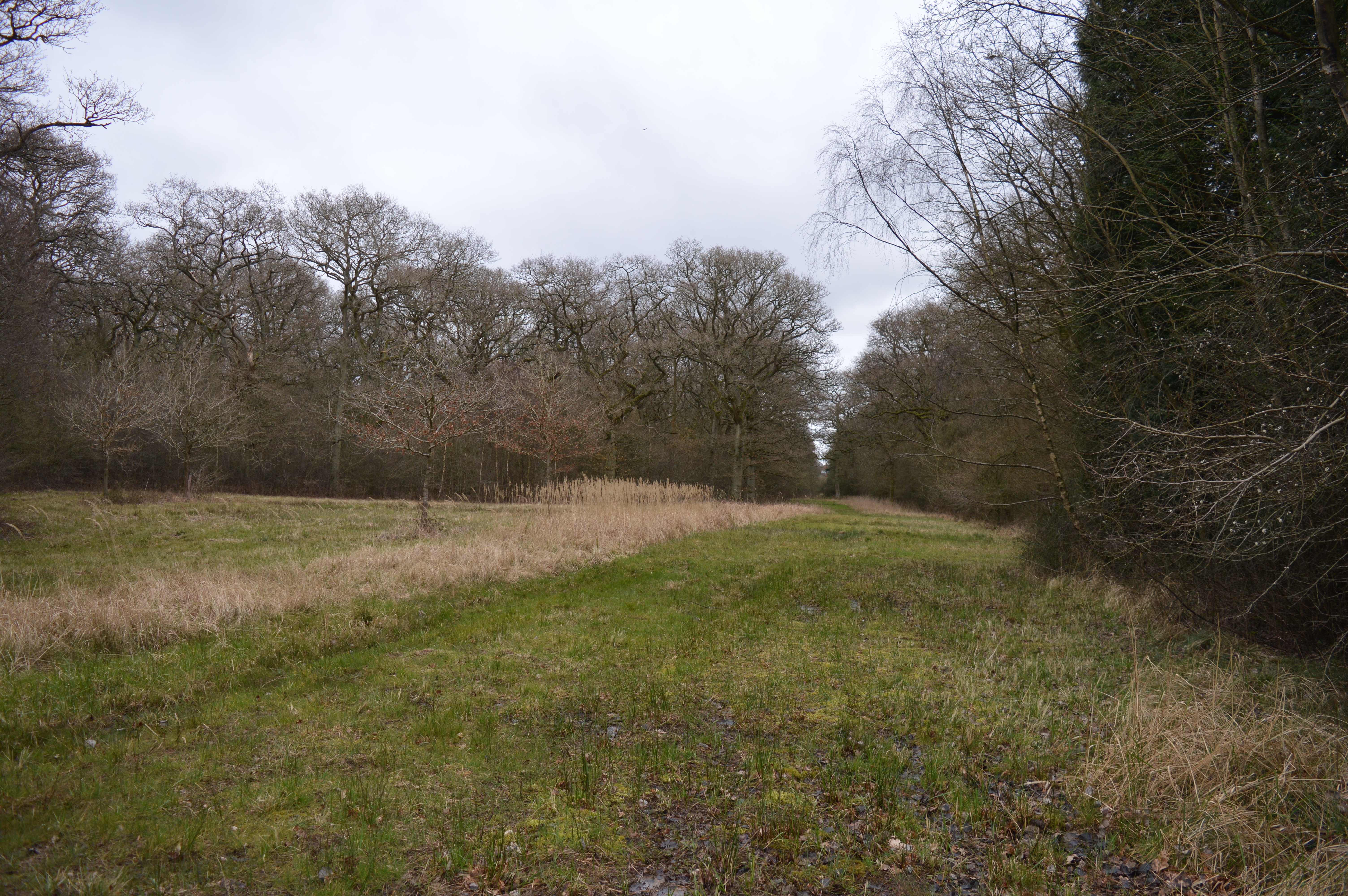
Sheephouse Wood
Sheephouse Wood is a 56.9-hectare (141-acre) biological Site of Special Scientific Interest east of Charndon in Buckinghamshire.The site has ancient pedunculate...
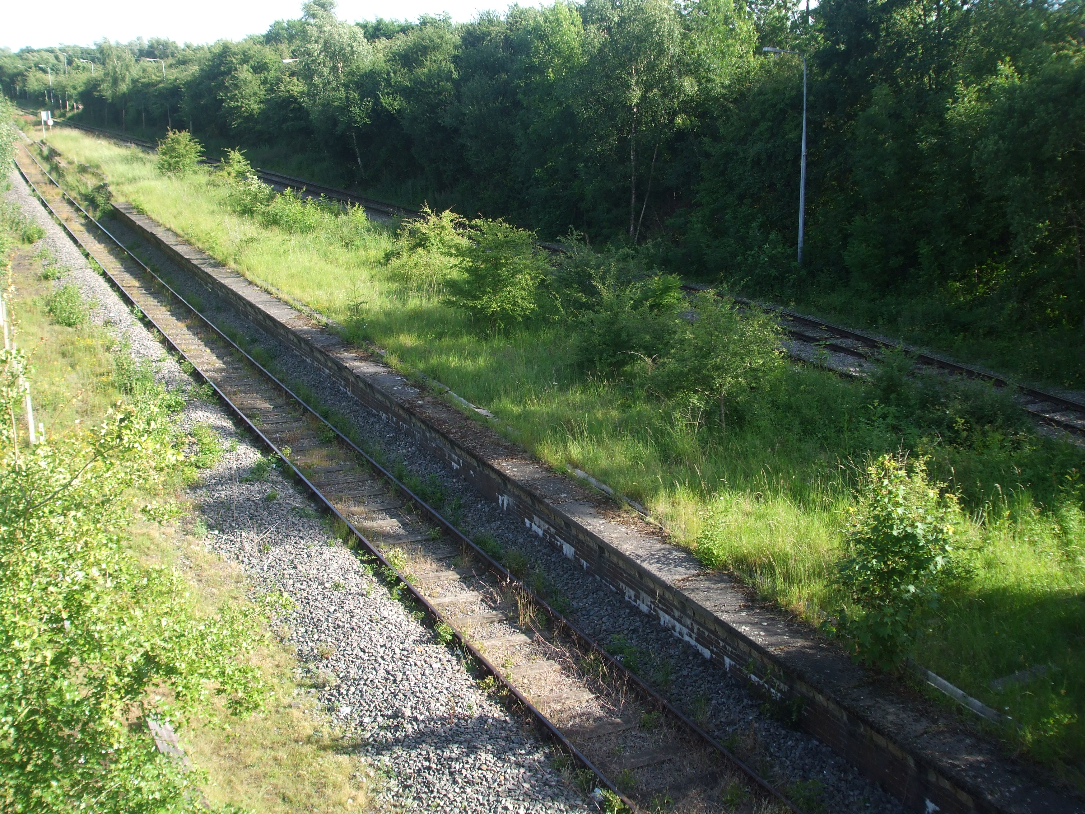
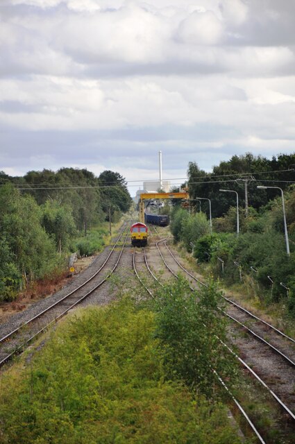
Calvert railway station
Calvert was a railway station at Calvert, Buckinghamshire on the former Great Central Main Line between Manchester Piccadilly and London Marylebone. The...
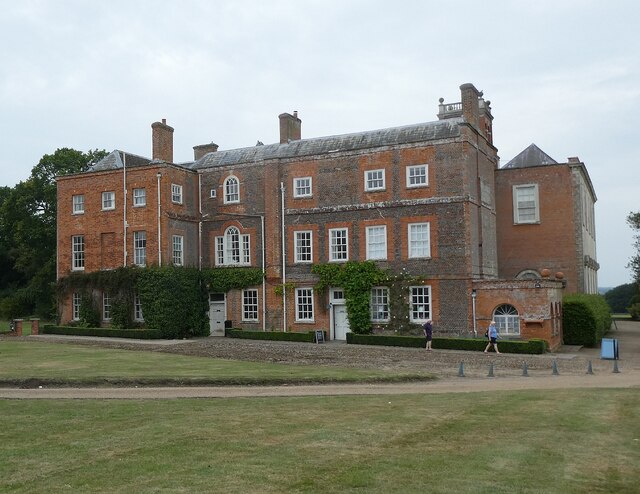
Calvert, Buckinghamshire
Calvert is a village in Buckinghamshire, England, near the village of Steeple Claydon. Originally named after a wealthy local family who had inherited...

Calvert Green
Calvert Green is a civil parish in Aylesbury Vale, Buckinghamshire, England. It was created in 2003 from parts of Charndon and Steeple Claydon civil parishes...
Have you been to Knowl Hill?
Leave your review of Knowl Hill below (or comments, questions and feedback).