Gaunt's Hill

Hill, Mountain in Nottinghamshire Gedling

England

Gaunt's Hill

Arnold, Nottinghamshire Recreating this 'First' for the square <a title="https://www.geograph.org.uk/photo/32037" href="https://www.geograph.org.uk/photo/32037">Link</a> . The title is taken from the original; this is St Mary's Church, to be specific.
Arnold, Nottinghamshire Credit: Alan Murray-Rust

Gaunt's Hill is a prominent geographical feature located in the county of Nottinghamshire, England. Situated near the town of Mansfield, it is a small hill that rises to an elevation of approximately 280 meters (919 feet) above sea level.

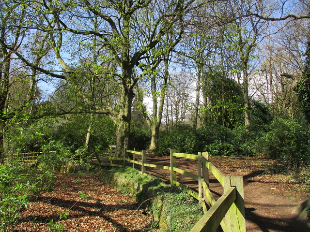
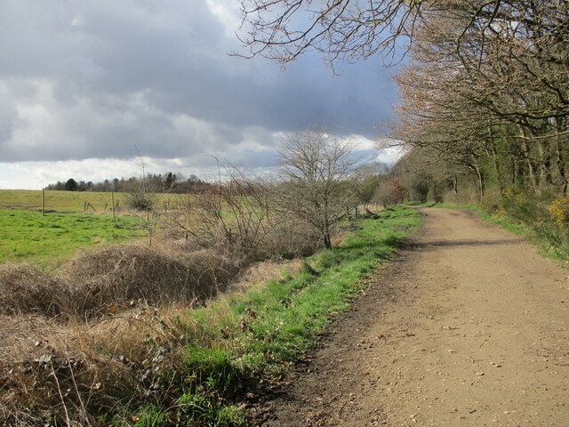
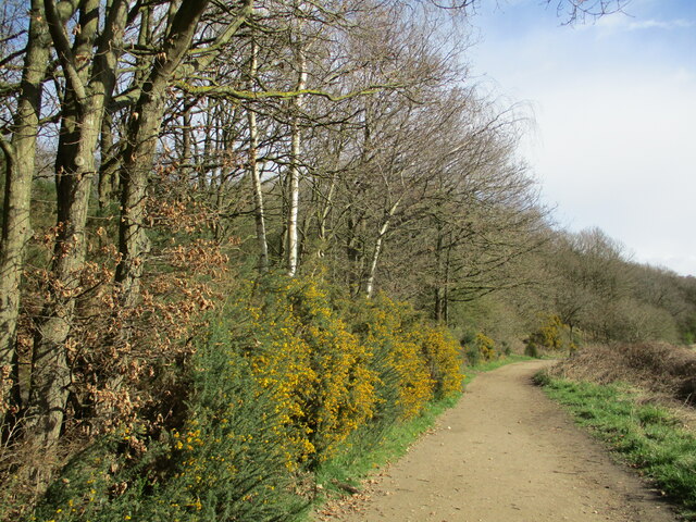
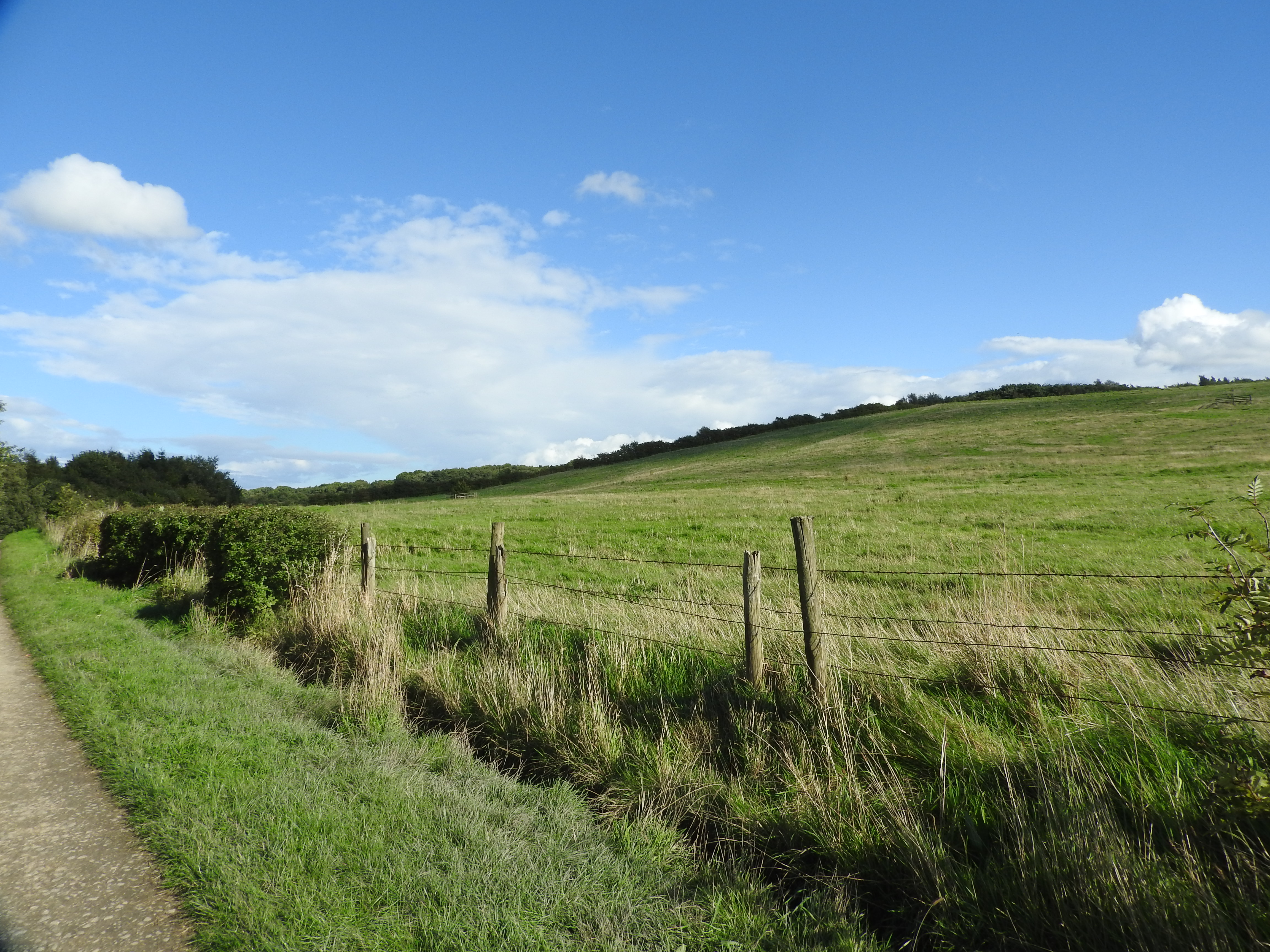
The hill is primarily composed of sandstone, which gives it a distinctive reddish-brown appearance. It is surrounded by lush greenery and offers picturesque views of the surrounding countryside. The hill is covered in a variety of vegetation, including grasses, shrubs, and some scattered trees, providing a habitat for various wildlife species.

Gaunt's Hill holds historical significance, as it is believed to have been named after the Gaunt family, who were prominent landowners in the area during the medieval period. The hill has witnessed centuries of human activity, evident from the presence of ancient earthworks and archaeological remains that dot its slopes.

Due to its relatively modest height, Gaunt's Hill is not considered a mountain but rather a hill. Nonetheless, it attracts hikers, nature enthusiasts, and locals seeking a peaceful retreat. Its accessible location and well-maintained footpaths make it a popular destination for outdoor activities such as walking, jogging, and picnicking.

Gaunt's Hill offers visitors an opportunity to connect with nature, enjoy panoramic views, and explore the historical and geological wonders of Nottinghamshire. Its tranquil surroundings and natural beauty make it a cherished landmark in the region, attracting visitors from near and far.

If you have any feedback on the listing, please let us know in the comments section below.
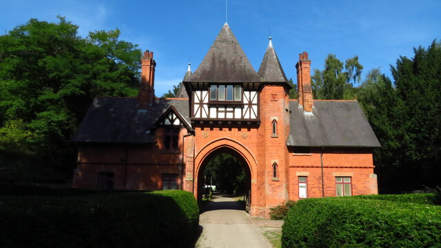
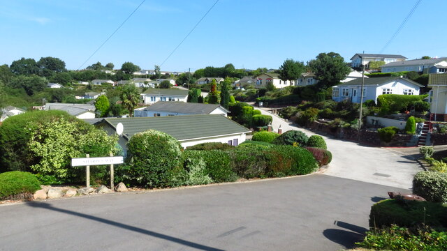
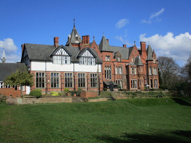
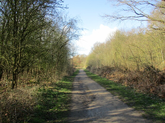
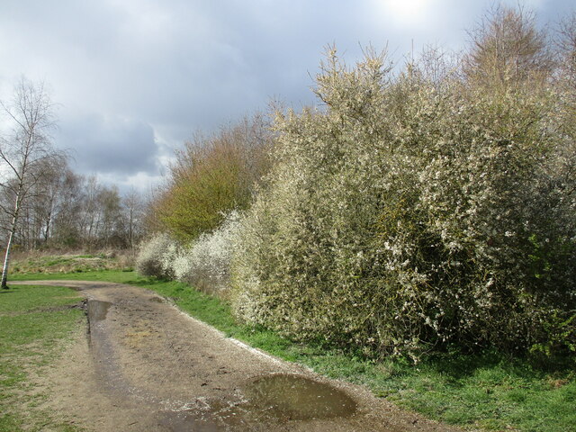
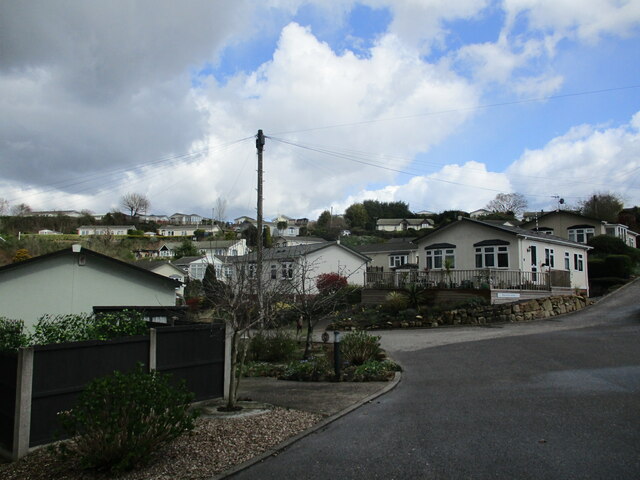
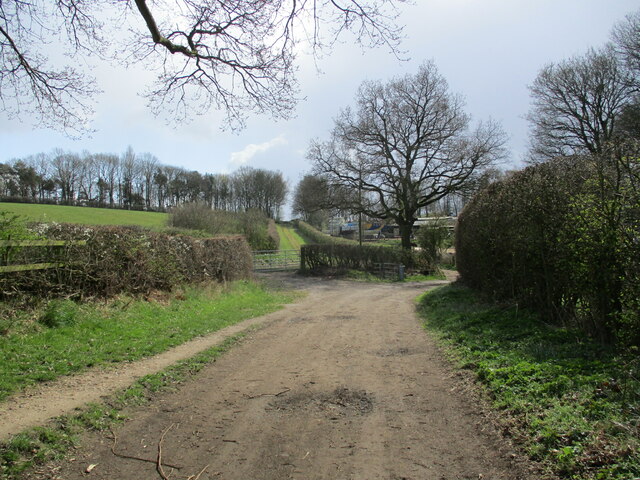
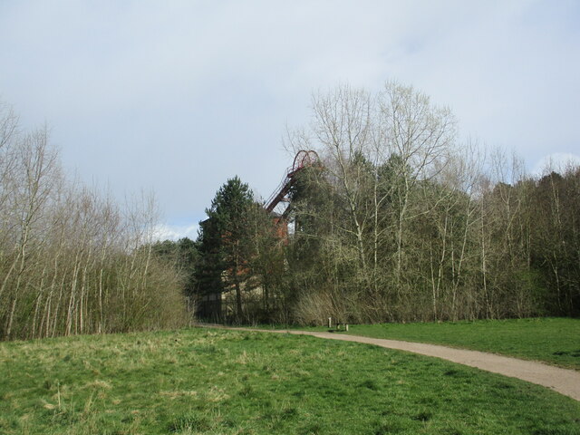
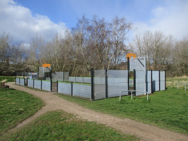
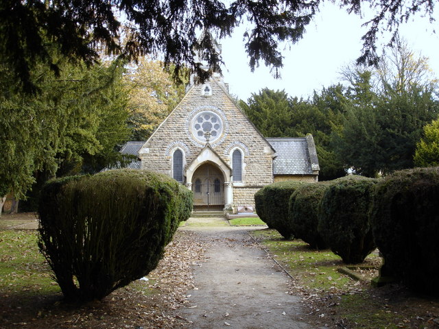
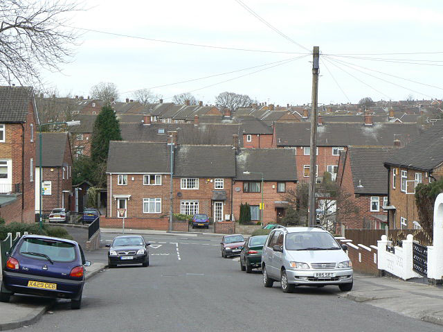
Gaunt's Hill Images

Images are sourced within 2km of 53.018384/-1.1498202 or Grid Reference SK5747. Thanks to Geograph Open Source API. All images are credited.

Arnold, Nottinghamshire Recreating this 'First' for the square <a title="https://www.geograph.org.uk/photo/32037" href="https://www.geograph.org.uk/photo/32037">Link</a> . The title is taken from the original; this is St Mary's Church, to be specific.
Arnold, Nottinghamshire
Recreating this 'First' for the square Link . The title is taken from the original; this is St Mary's Church, to be specific.
Lavender walk The main approach to St Mary's Church, Arnold.
Lavender walk
The main approach to St Mary's Church, Arnold.
Church for sale The former Cross Street Baptist Church.
Church for sale
The former Cross Street Baptist Church.
Mansfield Rd, Daybrook Recreating this 'First' for the square <a title="https://www.geograph.org.uk/photo/35570" href="https://www.geograph.org.uk/photo/35570">Link</a> . I did not attempt to get to exactly the original camera position!
Mansfield Rd, Daybrook
Recreating this 'First' for the square Link . I did not attempt to get to exactly the original camera position!
Alexandra Lodges, Big Wood, Bestwood Village
Killarney Park, Bestwood Village
Footpath along the edge of Lodge Gardens
Bestwood Lodge A large country house built for the 10th Duke of St. Albans. Designed by S.S. Teulon 1862. Now a hotel. <span class="nowrap"><a title="https://historicengland.org.uk/listing/the-list/list-entry/1227444?section=official-list-entry" rel="nofollow ugc noopener" href="https://historicengland.org.uk/listing/the-list/list-entry/1227444?section=official-list-entry">Link</a><img style="margin-left:2px;" alt="External link" title="External link - shift click to open in new window" src="https://s1.geograph.org.uk/img/external.png" width="10" height="10"/></span>
Bestwood Lodge
A large country house built for the 10th Duke of St. Albans. Designed by S.S. Teulon 1862. Now a hotel. LinkExternal link
Track to Bestwood Village, Bestwood Country Park
Footpath and blackthorn, Bestwood Country Park
Killarney Park Settlement of 'mobile homes' with wide views. Walking through here I suddenly felt that I was somewhere on the South Devon Coast!
Killarney Park
Settlement of 'mobile homes' with wide views. Walking through here I suddenly felt that I was somewhere on the South Devon Coast!
Footpath approaching Violet Hill
Track to Bestwood Village, Bestwood Country Park
Gorse by a track, Bestwood Country Park
Winding House and Headstocks at the former Bestwood Colliery Date from 1873 <span class="nowrap"><a title="https://historicengland.org.uk/listing/the-list/list-entry/1235186?section=official-list-entry" rel="nofollow ugc noopener" href="https://historicengland.org.uk/listing/the-list/list-entry/1235186?section=official-list-entry">Link</a><img style="margin-left:2px;" alt="External link" title="External link - shift click to open in new window" src="https://s1.geograph.org.uk/img/external.png" width="10" height="10"/></span> The colliery closed in 1967.
Winding House and Headstocks at the former Bestwood Colliery
Date from 1873 LinkExternal link The colliery closed in 1967.
Dynamo House at the former Bestwood Colliery
Trees around the Winding House and Headstocks at the former Bestwood Colliery
MUGA at Bestwood Village Multi Use Games Area,
MUGA at Bestwood Village
Multi Use Games Area,
Show me another place!

Gaunt's Hill is located at Grid Ref: SK5747 (Lat: 53.018384, Lng: -1.1498202)

Administrative County: Nottinghamshire

District: Gedling

Police Authority: Nottinghamshire

What 3 Words

///drip.plank.tags. Near Arnold, Nottinghamshire

Related Wikis

St Albans, Nottinghamshire

St. Albans is a civil parish in the Gedling borough of Nottinghamshire, England. It was part of the wider Bestwood St. Albans parish, which ceased to exist...

The Oakwood Academy

The Oakwood Academy (formerly Big Wood School)' is a secondary school located on Bewcastle Road, Warren Hill, Nottingham, England. It is for 11- to 16...

Warren Hill, Nottinghamshire

Warren Hill is an area within the market town of Arnold in the English ceremonial county of Nottinghamshire. Located in the civil parish of St. Albans...

Redhill, Nottinghamshire

Redhill () is a small community forming part of the much larger town of Arnold in Nottinghamshire, England. It is approximately 4 miles (6.4 km) north...

Bestwood Pumping Station

Bestwood Pumping Station was a water pumping station operating in Nottinghamshire from 1874 until 1964. == History == Bestwood Pumping Station was built...

Bestwood Country Park

Bestwood Country Park is a country park near Bestwood Village, Nottinghamshire, England. Bestwood was a hunting estate owned by the Crown from the medieval...

Redhill Academy

Redhill Academy is a secondary school and sixth form with academy status, situated on Redhill Road in Arnold, Nottinghamshire, England. The school has...

Bestwood Park

Bestwood Park is a large post-war council estate located to the north of the city of Nottingham, England, and roughly bounded by Beckhampton Road, Oxclose...

Related Videos

Bestwood Country Park | Places To Visit In Nottingham | 4K Drone Footage

Join me on a walk around Bestwood Country Park, a sprawling oasis of natural beauty nestled in the heart of Nottingham!

Cows, views and beautiful sunny walks. Join me as I discover Bestwood Country Park

Join me as I walk through a little gem of a country park in Nottinghamshire. Magical woods, beautiful views and amazing ...

Nottingham Car Boot Sale | Vlog - 4 | Summer Vacation | Indian Student in UK

Hello Everyone Hope you all are doing well. This is our Fourth vlog in which I'll Show you Hucknall Car Boot Market.

Arnold in Lockdown 2020

An empty Arnold Town Centre during Lockdown in 4k 60fps.

Nearby Amenities

Located within 500m of 53.018384,-1.1498202
Ele: 110.4364014
Tourism: information
Lat/Long: 53.0205416/-1.1500008
Bench
Ele: 107.7927246
Lat/Long: 53.0208101/-1.1547858
Bench
Lat/Long: 53.0207585/-1.1514812
Barrier: stile
Lat/Long: 53.0185143/-1.1484086
Ele: 112.1186523
Lat/Long: 53.0219061/-1.1502824
Barrier: horse_stile
Ele: 110.6766357
Lat/Long: 53.0206175/-1.1498389
Ele: 107.5523682
Lat/Long: 53.0207691/-1.1522077
Ele: 108.0330811
Lat/Long: 53.0207263/-1.1546861
Ele: 107.3120117
Lat/Long: 53.020763/-1.1522565
Ele: 110.1960449
Lat/Long: 53.0207459/-1.1515867
Barrier: cycle_barrier
Lat/Long: 53.0205142/-1.1499836
Barrier: kissing_gate
Lat/Long: 53.0166311/-1.1544075
The data included in this document is from www.openstreetmap.org. The data is made available under ODbL.

Have you been to Gaunt's Hill?

Leave your review of Gaunt's Hill below (or comments, questions and feedback).