Violet Hill
Hill, Mountain in Nottinghamshire Gedling
England
Violet Hill
Violet Hill is a small hill located in the county of Nottinghamshire, England. Situated near the village of Harwell, it stands at an elevation of approximately 150 meters above sea level. Despite its name, Violet Hill does not possess any violet-colored flora or a history related to violets. The name is believed to have been derived from the personal name "Violet" rather than the flower.
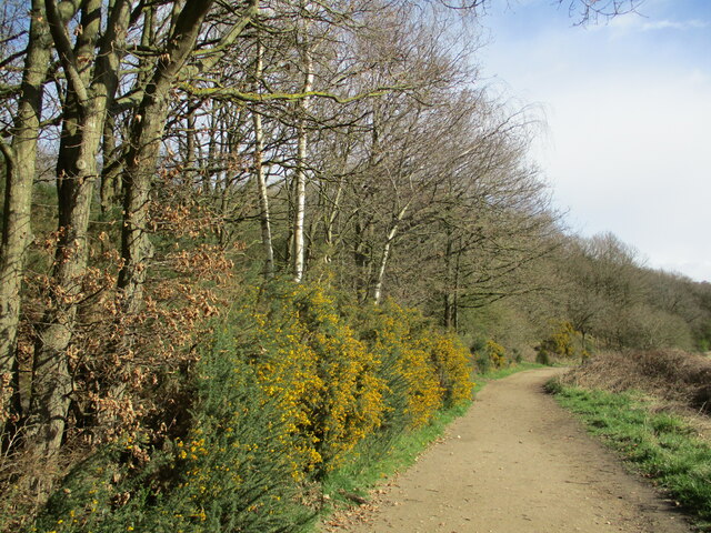
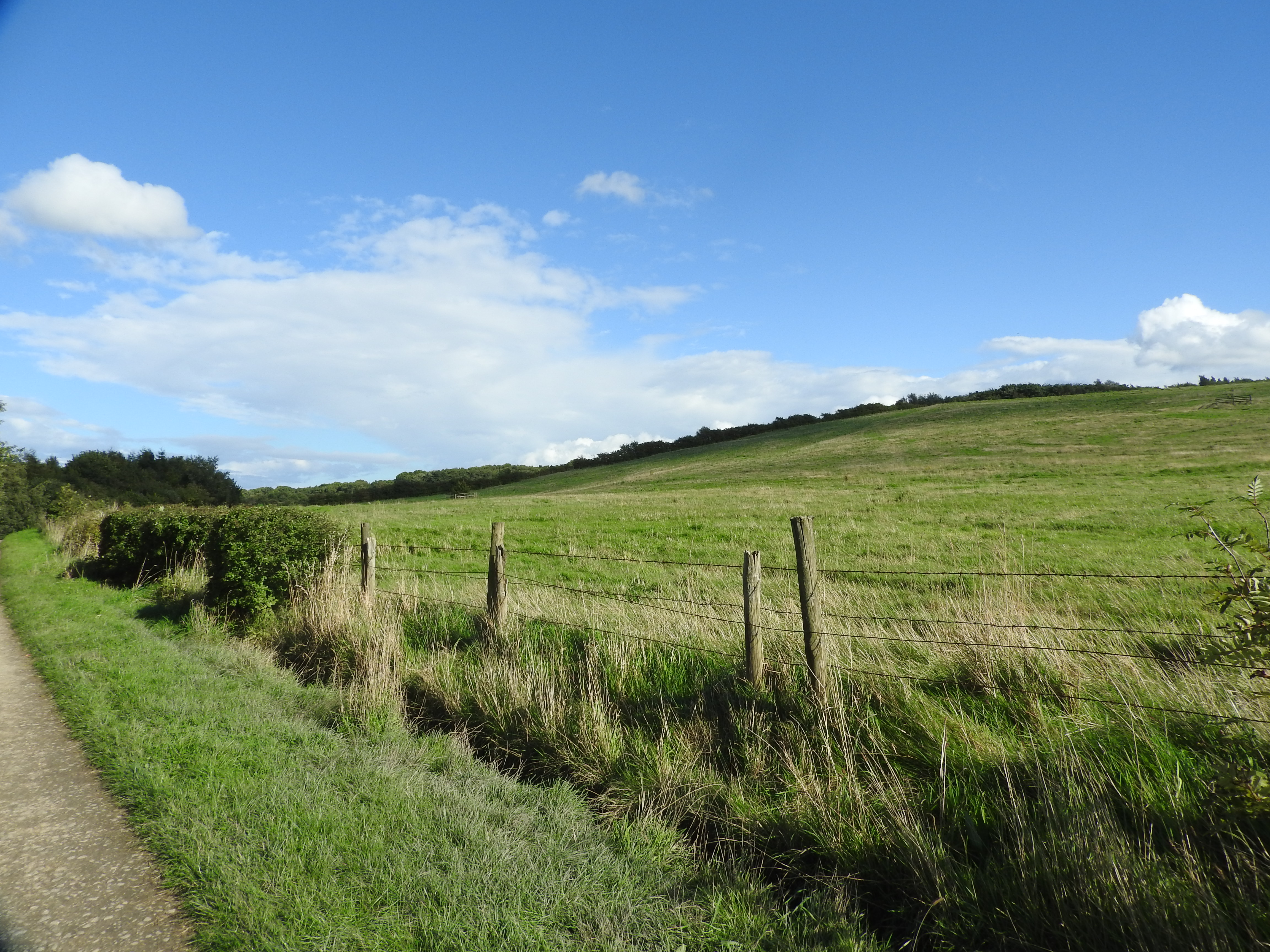
The hill is a popular destination for locals and tourists alike, offering breathtaking panoramic views of the surrounding countryside. Its location in the heart of Nottinghamshire provides visitors with an opportunity to witness the beauty of the region's diverse landscapes, including rolling hills, woodlands, and picturesque villages.
Violet Hill is also known for its historical significance. The area has been inhabited for centuries, with evidence of Bronze Age settlements and Roman occupation discovered nearby. The hill itself is believed to have played a strategic role during the English Civil War, serving as a lookout point for both Royalist and Parliamentarian forces.
Today, Violet Hill is a designated Area of Special Scientific Interest (ASSI) due to its rich biodiversity and unique geological features. The hill is home to a variety of plant and animal species, including rare orchids and butterflies. It provides an ideal habitat for wildlife and offers opportunities for nature enthusiasts to explore and appreciate the natural beauty of the area.
In conclusion, Violet Hill in Nottinghamshire is a charming hill that offers stunning views, historical significance, and rich biodiversity. Its combination of natural and cultural attractions makes it an appealing destination for visitors seeking to experience the beauty and history of the region.
If you have any feedback on the listing, please let us know in the comments section below.
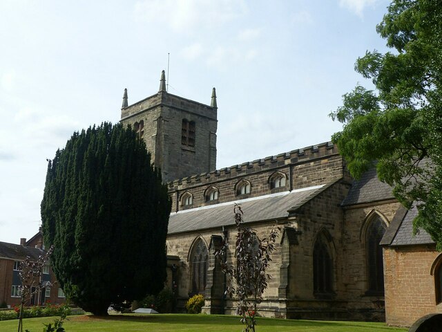
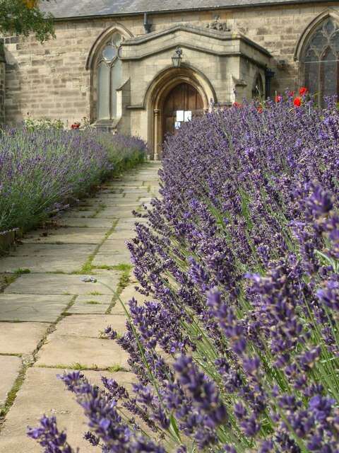
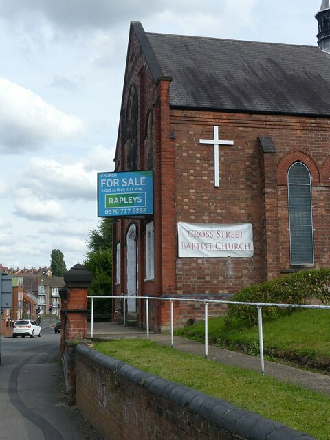
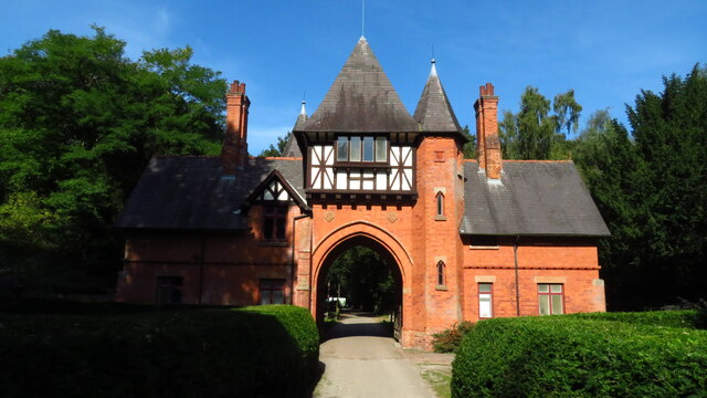
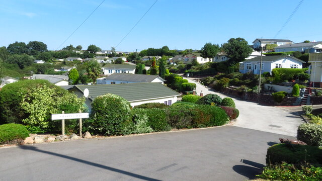
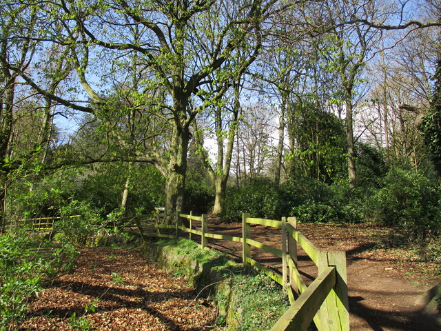
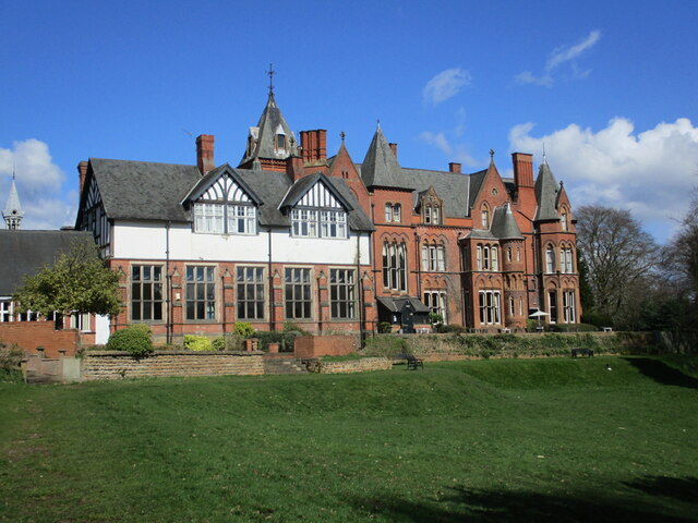
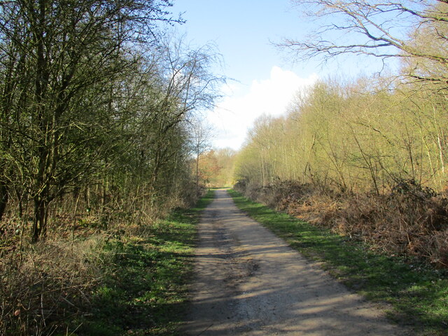
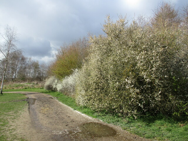
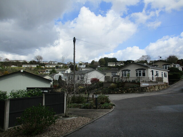
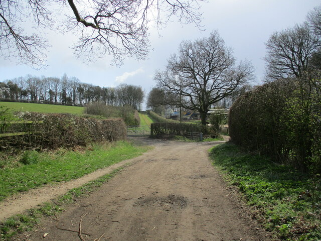
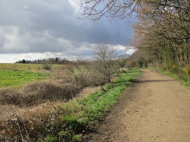
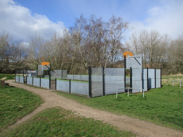
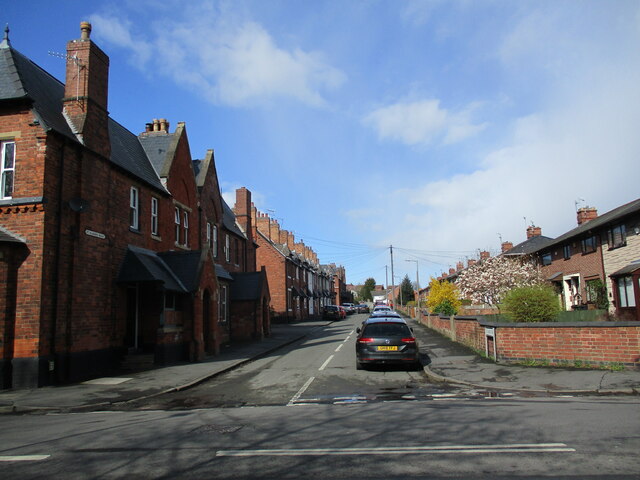
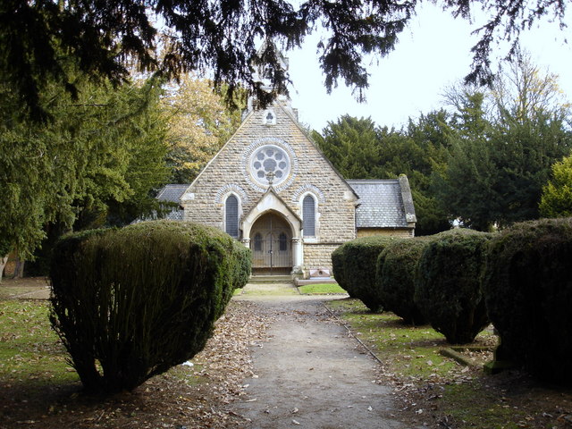
Violet Hill Images
Images are sourced within 2km of 53.019699/-1.1477073 or Grid Reference SK5747. Thanks to Geograph Open Source API. All images are credited.
Violet Hill is located at Grid Ref: SK5747 (Lat: 53.019699, Lng: -1.1477073)
Administrative County: Nottinghamshire
District: Gedling
Police Authority: Nottinghamshire
What 3 Words
///seat.hired.dads. Near Arnold, Nottinghamshire
Nearby Locations
Related Wikis

St Albans, Nottinghamshire
St. Albans is a civil parish in the Gedling borough of Nottinghamshire, England. It was part of the wider Bestwood St. Albans parish, which ceased to exist...

The Oakwood Academy
The Oakwood Academy (formerly Big Wood School)' is a secondary school located on Bewcastle Road, Warren Hill, Nottingham, England. It is for 11- to 16...

Bestwood Pumping Station
Bestwood Pumping Station was a water pumping station operating in Nottinghamshire from 1874 until 1964. == History == Bestwood Pumping Station was built...
Warren Hill, Nottinghamshire
Warren Hill is an area within the market town of Arnold in the English ceremonial county of Nottinghamshire. Located in the civil parish of St. Albans...

Redhill, Nottinghamshire
Redhill () is a small community forming part of the much larger town of Arnold in Nottinghamshire, England. It is approximately 4 miles (6.4 km) north...
Redhill Academy
Redhill Academy is a secondary school and sixth form with academy status, situated on Redhill Road in Arnold, Nottinghamshire, England. The school has...
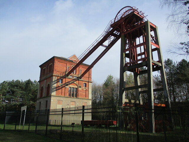
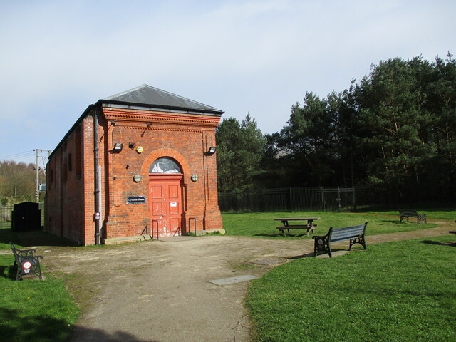
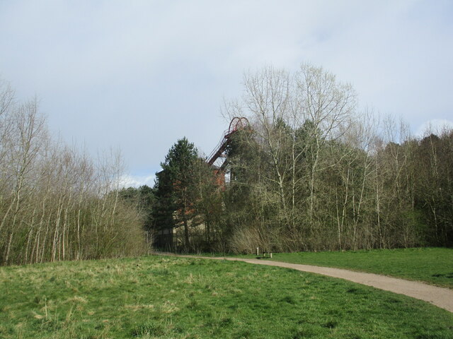
Bestwood Country Park
Bestwood Country Park is a country park near Bestwood Village, Nottinghamshire, England. Bestwood was a hunting estate owned by the Crown from the medieval...
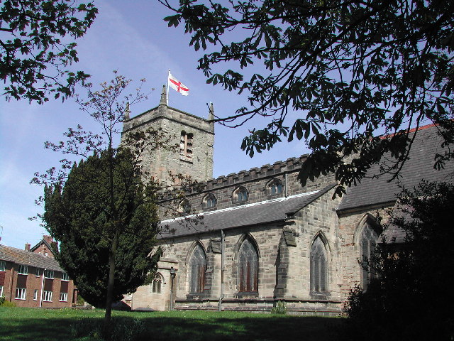
St Mary's Church, Arnold
St. Mary's Church is a parish church in Arnold, Nottinghamshire, England. Though there is no official founding date, it is estimated that the church dates...
Nearby Amenities
Located within 500m of 53.019699,-1.1477073Have you been to Violet Hill?
Leave your review of Violet Hill below (or comments, questions and feedback).