Japanese Plantations
Wood, Forest in Nottinghamshire Gedling
England
Japanese Plantations
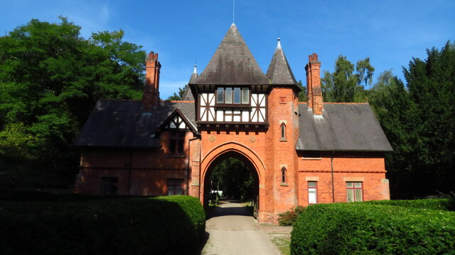
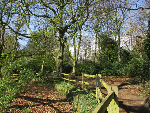
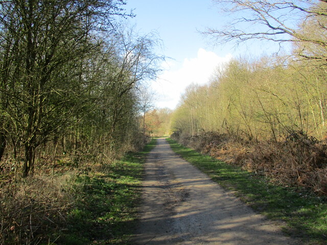
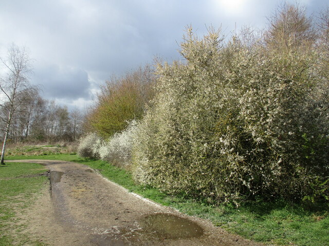
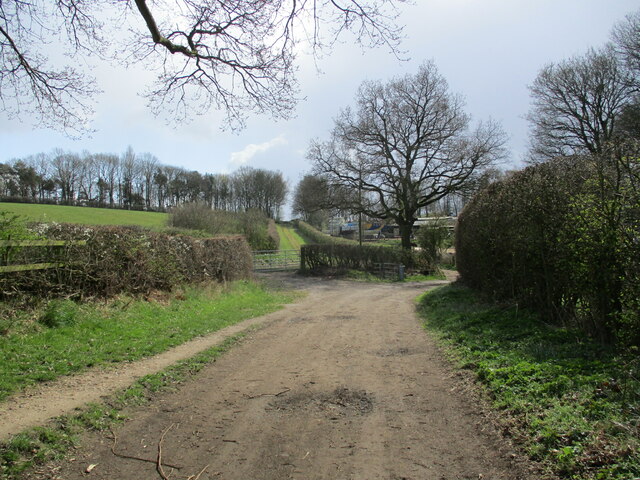
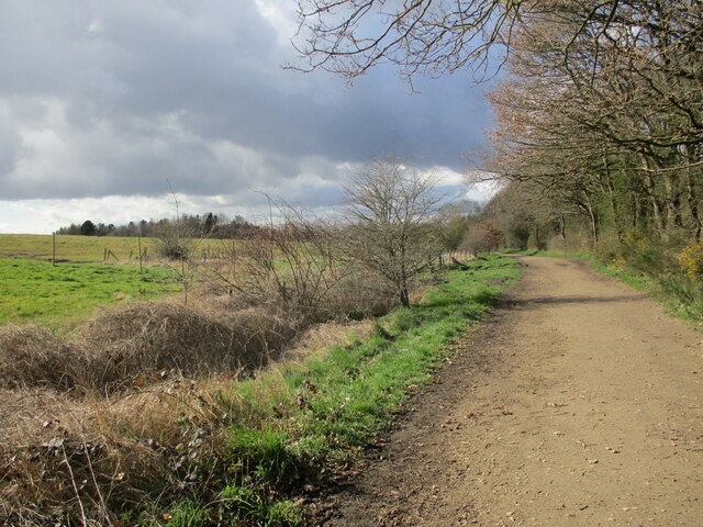
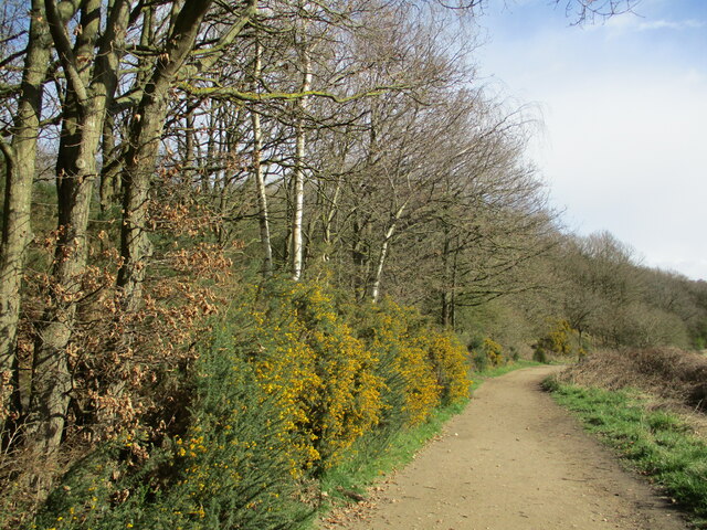
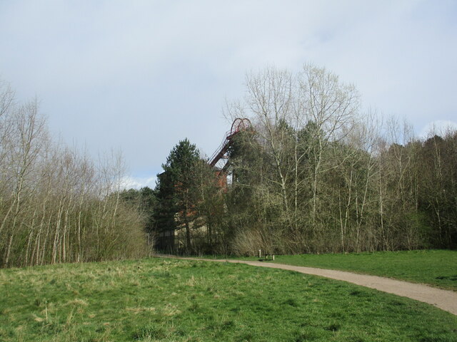
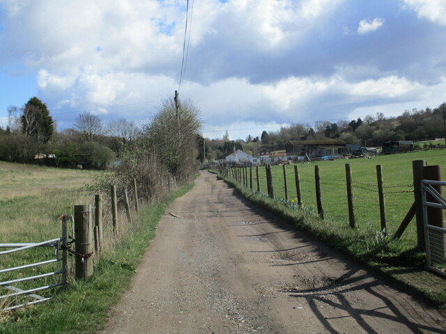
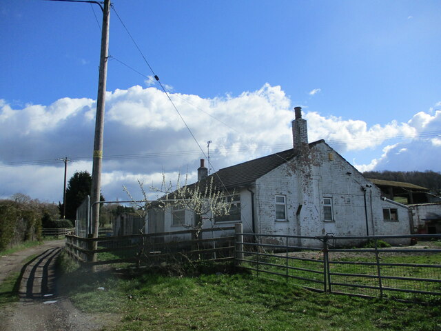
Japanese Plantations, Nottinghamshire, is a stunning woodland area located in the heart of Nottinghamshire, England. Covering a vast area of woodland, it is known for its enchanting beauty and unique collection of Japanese trees and plants.
Established in the late 19th century, Japanese Plantations was designed to recreate the serene and tranquil atmosphere of Japanese gardens. The plantation features a diverse array of tree species, including Japanese maples, cherry blossom trees, and Japanese cedar. These trees, carefully selected and planted, create a picturesque and harmonious environment that transports visitors to the serene landscapes of Japan.
The plantation is a popular destination for nature enthusiasts and photographers alike. Its vibrant colors during the autumn season, when the Japanese maples display a stunning array of red, orange, and yellow leaves, attract visitors from far and wide. The plantation also offers breathtaking views in the spring, when the cherry blossom trees burst into full bloom, creating a magical pink and white canopy.
Visitors to Japanese Plantations can explore the woodland through a network of well-maintained paths. These paths wind through the trees, allowing visitors to fully immerse themselves in the beauty of the surroundings. The plantation also offers picnic areas and seating areas, allowing visitors to relax and enjoy the peaceful atmosphere.
Overall, Japanese Plantations, Nottinghamshire, is a must-visit destination for anyone seeking a serene and picturesque woodland experience. Its carefully curated collection of Japanese trees and plants, combined with its tranquil setting, make it a truly unique and captivating destination.
If you have any feedback on the listing, please let us know in the comments section below.
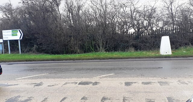
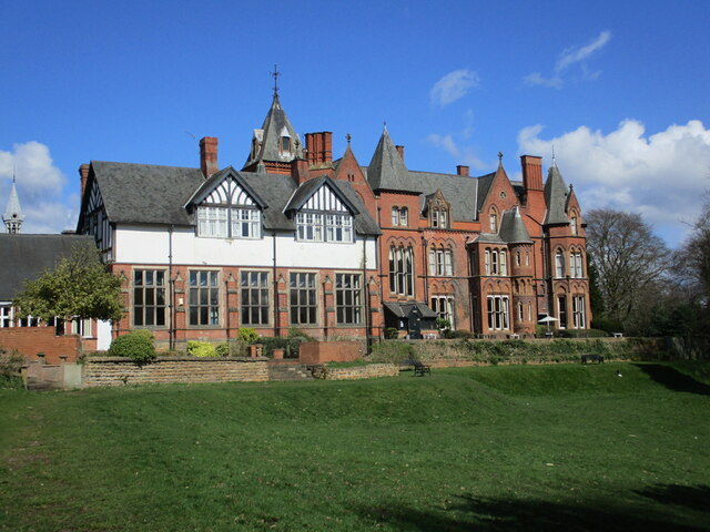
Japanese Plantations Images
Images are sourced within 2km of 53.019522/-1.1430596 or Grid Reference SK5747. Thanks to Geograph Open Source API. All images are credited.
Japanese Plantations is located at Grid Ref: SK5747 (Lat: 53.019522, Lng: -1.1430596)
Administrative County: Nottinghamshire
District: Gedling
Police Authority: Nottinghamshire
What 3 Words
///awake.woof.force. Near Arnold, Nottinghamshire
Nearby Locations
Related Wikis

St Albans, Nottinghamshire
St. Albans is a civil parish in the Gedling borough of Nottinghamshire, England. It was part of the wider Bestwood St. Albans parish, which ceased to exist...

Redhill, Nottinghamshire
Redhill () is a small community forming part of the much larger town of Arnold in Nottinghamshire, England. It is approximately 4 miles (6.4 km) north...

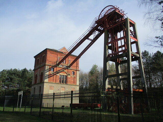
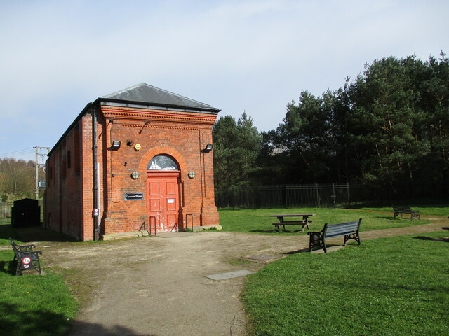
Bestwood Pumping Station
Bestwood Pumping Station was a water pumping station operating in Nottinghamshire from 1874 until 1964. == History == Bestwood Pumping Station was built...

The Oakwood Academy
The Oakwood Academy (formerly Big Wood School)' is a secondary school located on Bewcastle Road, Warren Hill, Nottingham, England. It is for 11- to 16...
Nearby Amenities
Located within 500m of 53.019522,-1.1430596Have you been to Japanese Plantations?
Leave your review of Japanese Plantations below (or comments, questions and feedback).