Rye Hill
Hill, Mountain in Yorkshire Hambleton
England
Rye Hill

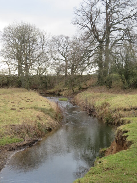
Rye Hill is a prominent hill located in Yorkshire, England. Situated within the North York Moors National Park, it stands at an elevation of approximately 405 meters (1,329 feet) above sea level. The hill is part of the Hambleton Hills range and offers picturesque views of the surrounding countryside.
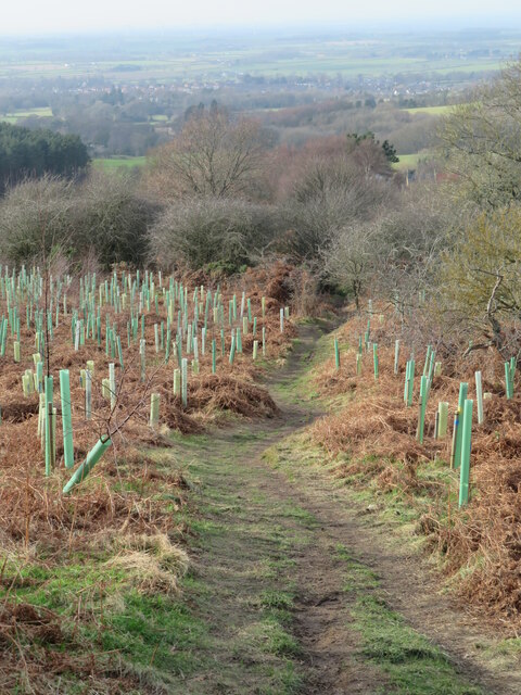
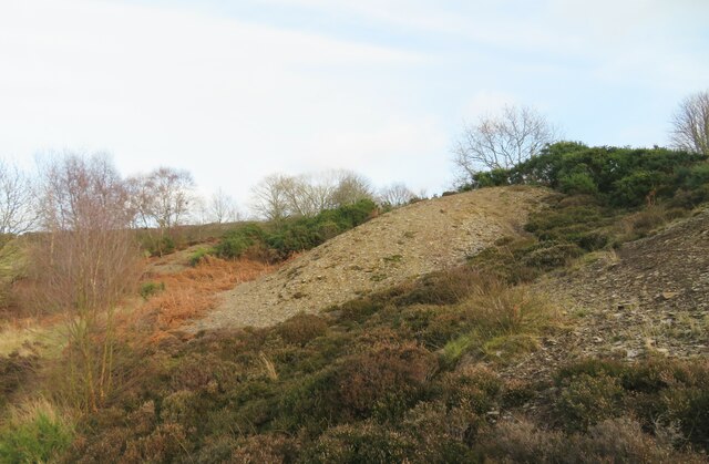
Rye Hill is characterized by its gently sloping sides and rounded summit, covered in heather and grasses. The hill is primarily composed of sandstone, creating a distinct reddish hue that adds to its striking appearance. It is a popular destination for hikers and nature enthusiasts, providing a range of walking trails to explore its scenic beauty.
The summit of Rye Hill offers breathtaking panoramic views of the North York Moors, with its rolling hills, wooded valleys, and patchwork fields. On a clear day, it is possible to see as far as the distant Yorkshire coastline.
The hill is also home to a diverse array of wildlife, including various bird species, such as curlews and lapwings, as well as small mammals like hares and rabbits. The surrounding moorland is dotted with sheep grazing peacefully, adding to the pastoral charm of the area.
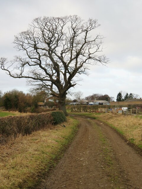
Rye Hill is easily accessible by foot, with several footpaths leading to its summit. It provides a tranquil and serene environment, offering visitors an opportunity to connect with nature and enjoy the breathtaking landscapes that Yorkshire has to offer.
If you have any feedback on the listing, please let us know in the comments section below.
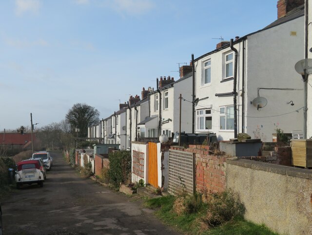
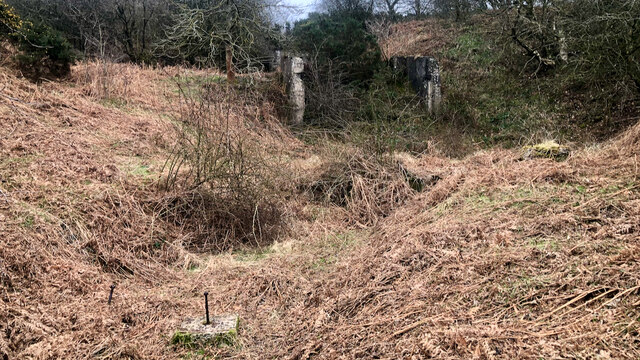
Rye Hill Images
Images are sourced within 2km of 54.493444/-1.1191368 or Grid Reference NZ5711. Thanks to Geograph Open Source API. All images are credited.


Rye Hill is located at Grid Ref: NZ5711 (Lat: 54.493444, Lng: -1.1191368)
Division: North Riding
Administrative County: North Yorkshire
District: Hambleton
Police Authority: North Yorkshire
What 3 Words
///cycle.thread.crows. Near Great Ayton, North Yorkshire
Nearby Locations
Related Wikis

Great Ayton railway station
Great Ayton is a railway station on the Esk Valley Line, which runs between Middlesbrough and Whitby via Nunthorpe. The station, situated 8 miles 37 chains...

Little Ayton
Little Ayton is a village and civil parish in Hambleton District of North Yorkshire, England and lies immediately south of Great Ayton. The population...
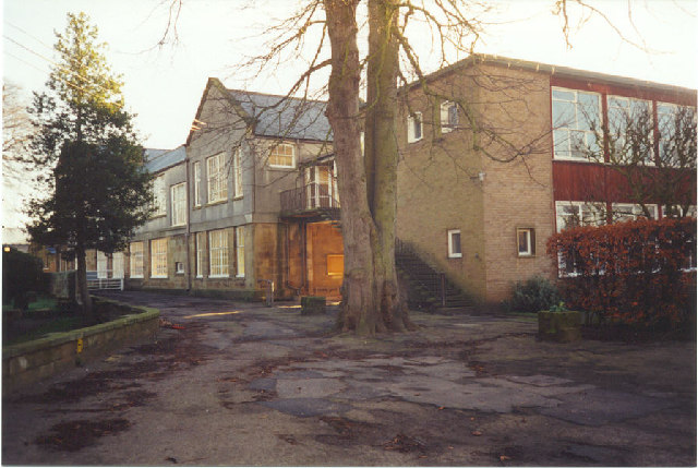
Great Ayton Friends' School
Great Ayton Friends' School (1841–1997) in Great Ayton, North Yorkshire, England, was an independent, co-educational, agricultural boarding school, run...

Great Ayton
Great Ayton is a village and civil parish in North Yorkshire, England. The River Leven (a tributary of the River Tees) flows through the village, which...

Cleveland, Yorkshire
Cleveland is a land of hills and dales from the River Tees to Vale of Pickering, England. The name means “cliff-land”. The area corresponds to the former...

Langbaurgh Ridge
Langbaurgh Ridge (grid reference NZ560121) is an 8.0 hectare geological Site of Special Scientific Interest near the hamlet of Langbaurgh in North Yorkshire...

Roseberry Topping
Roseberry Topping is a distinctive hill in North Yorkshire, England. It is situated near Great Ayton and Newton under Roseberry. Its summit has a distinctive...

Roseberry Mine
Roseberry Mine was an ironstone mine in the North Riding of Yorkshire, England, which operated between 1883 and 1924, with a break of 24 years. Both periods...
Nearby Amenities
Located within 500m of 54.493444,-1.1191368Have you been to Rye Hill?
Leave your review of Rye Hill below (or comments, questions and feedback).