Cobbler's Hill

Hill, Mountain in Nottinghamshire Gedling

England

Cobbler's Hill

Footpath on Papplewick Moor
Footpath on Papplewick Moor Credit: David Lally

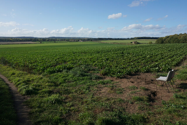
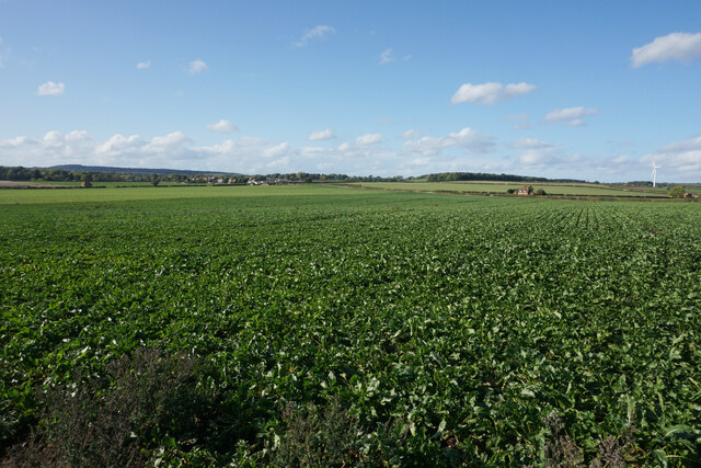
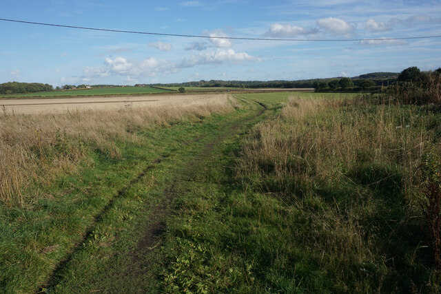
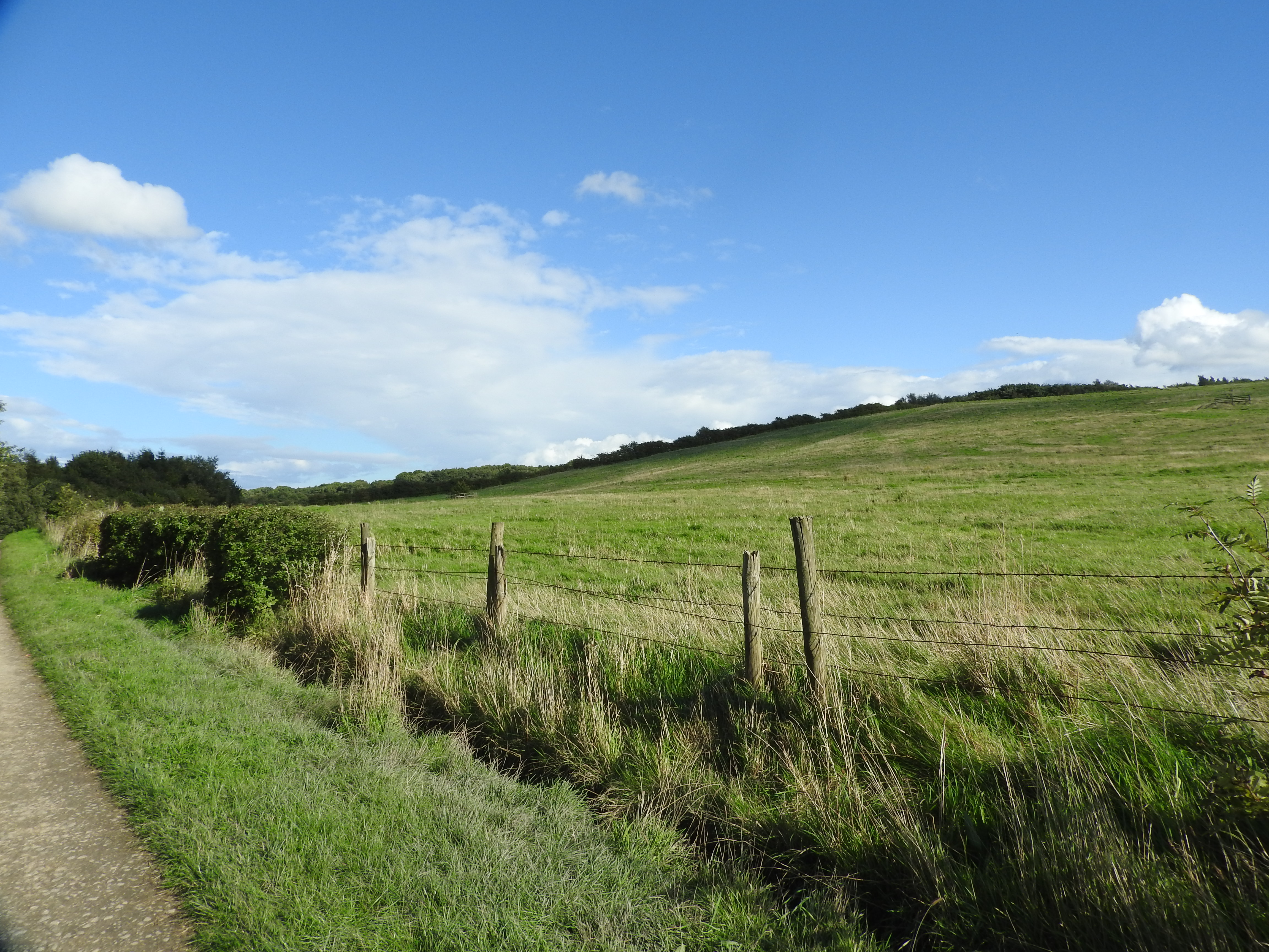
Cobbler's Hill, located in Nottinghamshire, England, is a picturesque hill that offers breathtaking views and a tranquil atmosphere. Situated in the heart of the county, this natural wonder stands at an elevation of approximately 250 meters above sea level, making it one of the highest points in the region.

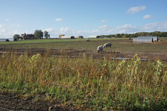
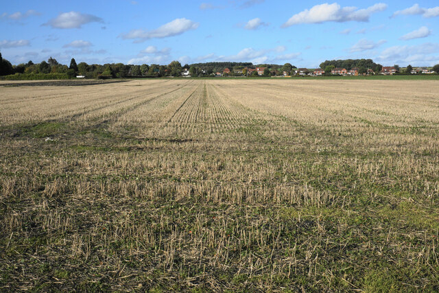
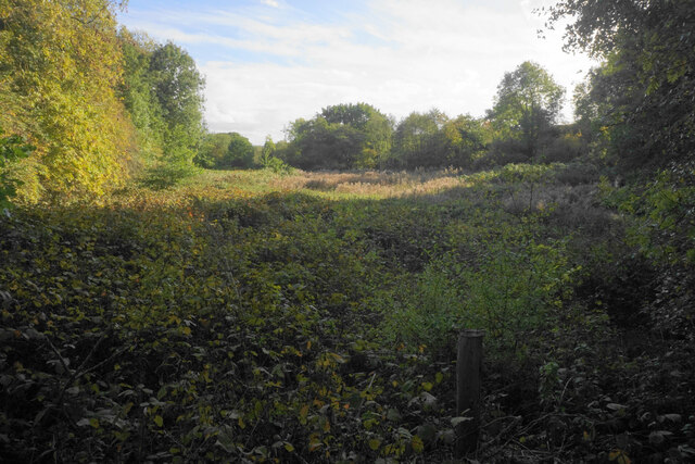
The hill derives its name from the cobbler trade that once thrived in the nearby village. It has become a popular destination for locals and tourists alike, seeking a peaceful retreat from the hustle and bustle of everyday life. Cobbler's Hill boasts a diverse landscape, characterized by rolling hills, lush green meadows, and dense woodlands, providing a haven for wildlife and outdoor enthusiasts.

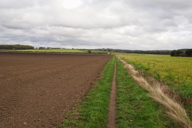
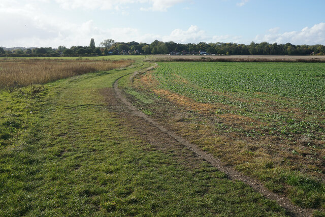
The summit of Cobbler's Hill offers panoramic views of the surrounding countryside, including distant hills, charming villages, and winding rivers. On clear days, visitors can even catch a glimpse of the nearby Peak District National Park. The hill is a favorite spot for hikers, who can explore the various trails that crisscross its slopes, providing an opportunity to discover the area's natural beauty up close.

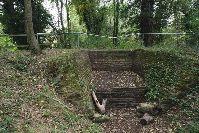
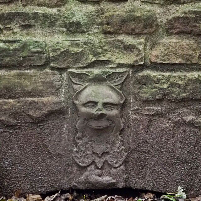
Cobbler's Hill is also steeped in history, with archaeological evidence suggesting human habitation in the area dating back thousands of years. The hill has been a site of interest for archaeologists, who have unearthed ancient artifacts and remnants of settlements from different time periods.

With its stunning vistas, tranquility, and historical significance, Cobbler's Hill is a must-visit destination for nature lovers and history enthusiasts exploring the Nottinghamshire region.

If you have any feedback on the listing, please let us know in the comments section below.

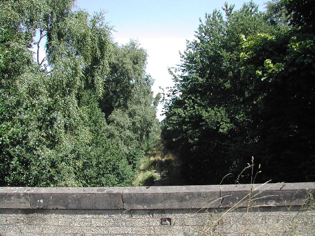
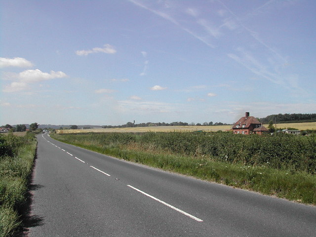
Cobbler's Hill Images

Images are sourced within 2km of 53.034788/-1.1661702 or Grid Reference SK5648. Thanks to Geograph Open Source API. All images are credited.

Footpath on Papplewick Moor
Blocked culvert At the southern end of the Papplewick Trail, this excavated culvert entrance presumably would have carried the mill races under Moor Road?
Blocked culvert
At the southern end of the Papplewick Trail, this excavated culvert entrance presumably would have carried the mill races under Moor Road?
An interesting keystone In the arch of <a href="https://www.geograph.org.uk/photo/7005278">SK5450 : Blocked culvert</a>.  Possibly a Green Man representation?
An interesting keystone
In the arch of SK5450 : Blocked culvert. Possibly a Green Man representation?
Robin Hood Way, west of Seven Mile Wood, Papplewick
Outdoor-reared pork by Stanker Hill Farm As seen from the Robin Hood Way.
Outdoor-reared pork by Stanker Hill Farm
As seen from the Robin Hood Way.
Farmland below Raceground Hill A brief glimpse from the Robin Hood Way, seen across the former railway which serviced Calverton Colliery.
Farmland below Raceground Hill
A brief glimpse from the Robin Hood Way, seen across the former railway which serviced Calverton Colliery.
Farmland on Papplewick Moor A crop of beet is in the foreground. I presume the plastic chairs are for the benefit of the farm workers.
Farmland on Papplewick Moor
A crop of beet is in the foreground. I presume the plastic chairs are for the benefit of the farm workers.
Beet field on Papplewick Moor Wide open spaces seen from the Robin Hood Way.
Beet field on Papplewick Moor
Wide open spaces seen from the Robin Hood Way.
Robin Hood Way near Papplewick The houses ahead are the first of Hucknall and the Nottingham conurbation.
Robin Hood Way near Papplewick
The houses ahead are the first of Hucknall and the Nottingham conurbation.
Stubble field on Papplewick Moor Some of the houses of Papplewick are seen ahead.
Stubble field on Papplewick Moor
Some of the houses of Papplewick are seen ahead.
Path onto Papplewick Moor Part of the Robin Hood Way heading towards Burntstump Hill.
Path onto Papplewick Moor
Part of the Robin Hood Way heading towards Burntstump Hill.
Mini roundabout at the top of Papplewick Lane The village of Papplewick is another half a kilometre along the road ahead.
Mini roundabout at the top of Papplewick Lane
The village of Papplewick is another half a kilometre along the road ahead.
Scrub by Papplewick Lane This is the valley of the River Leen. It flows over to the right but cannot be seen.
Scrub by Papplewick Lane
This is the valley of the River Leen. It flows over to the right but cannot be seen.
Forest Lane Between the A60 and Papplewick.
Forest Lane
Between the A60 and Papplewick.
Disused Railway From the bridge which carries the A60, this is a view NE of the old Calverton Mine Railway
Disused Railway
From the bridge which carries the A60, this is a view NE of the old Calverton Mine Railway
Workers houses on Barracks Farm Just off the B6011 (Forest Lane) at Papplewick
Workers houses on Barracks Farm
Just off the B6011 (Forest Lane) at Papplewick
Seven Mile Inn Roadside pub restaurant on the Mansfield Road, seven miles from Nottingham.
Seven Mile Inn
Roadside pub restaurant on the Mansfield Road, seven miles from Nottingham.
Seven Mile House Located seven miles from Nottingham on the Mansfield Road. Reputed to have been built by local inhabitants to provide a location to prevent sheep straying from the surrounding farmland towards Nottingham. It is now the head office of a large local firm of housebuilders.
2013 postcript: This <a title="https://www.geograph.org.uk/photo/3794238" href="https://www.geograph.org.uk/photo/3794238">Link</a> is a classic example of Geograph's capacity to record change over time.
Seven Mile House
Located seven miles from Nottingham on the Mansfield Road. Reputed to have been built by local inhabitants to provide a location to prevent sheep straying from the surrounding farmland towards Nottingham. It is now the head office of a large local firm of housebuilders. 2013 postcript: This Link is a classic example of Geograph's capacity to record change over time.
Show me another place!

Cobbler's Hill is located at Grid Ref: SK5648 (Lat: 53.034788, Lng: -1.1661702)

Administrative County: Nottinghamshire

District: Gedling

Police Authority: Nottinghamshire

What 3 Words

///slices.undulation.friend. Near Hucknall, Nottinghamshire

Related Wikis

Whyburn

The Whyburn (known locally as Town Brook, and by the UK Government as Baker Lane Brook) is the main watercourse flowing through the town of Hucknall in...

Bestwood Village

Bestwood Village is an area and civil parish in the Gedling district of Nottinghamshire. Until 1 April 2018 it was part of the civil parish of Bestwood...

Bestwood Country Park

Bestwood Country Park is a country park near Bestwood Village, Nottinghamshire, England. Bestwood was a hunting estate owned by the Crown from the medieval...

Butler's Hill tram stop

Butler's Hill is a tram stop on the Nottingham Express Transit network, serving the suburb of Butler's Hill, Ashfield in Nottinghamshire, England. The...

Butler's Hill railway station

Butler's Hill railway station was a former station on the Great Northern Railway's Nottingham to Shirebrook line.The station should not be confused with...

Butler's Hill

Butler's Hill is a residential area near to the town centre of Hucknall. It is approximately seven miles north-west of Nottingham, England. The Butler...

Bestwood Colliery railway station

Bestwood Colliery railway station was a former station on the Great Northern Railway Nottingham to Shirebrook line. == References ==

Hucknall station

Hucknall station, also formerly known as Hucknall Byron station, is a railway station and tram stop in Hucknall, Nottinghamshire, England. It is located...

Nearby Amenities

Located within 500m of 53.034788,-1.1661702
Ele: 76.5501709
Lat/Long: 53.0356487/-1.1594132
Ele: 76.0694580
Lat/Long: 53.0357013/-1.1595509
Note: Road has been surfaced but mostly gravel at this point
Lat/Long: 53.0370741/-1.1660708
Power: pole
Lat/Long: 53.0357103/-1.1727583
Power: pole
Lat/Long: 53.0354716/-1.1711597
Power: pole
Lat/Long: 53.0352555/-1.169588
Power: pole
Lat/Long: 53.0349942/-1.1677802
Power: pole
Lat/Long: 53.0347716/-1.1663532
Power: pole
Lat/Long: 53.0344845/-1.1650014
Power: pole
Lat/Long: 53.0341555/-1.1637247
Power: pole
Lat/Long: 53.0338587/-1.1624962
Power: pole
Lat/Long: 53.0335587/-1.1612946
Power: pole
Lat/Long: 53.0337845/-1.1599374
The data included in this document is from www.openstreetmap.org. The data is made available under ODbL.

Have you been to Cobbler's Hill?

Leave your review of Cobbler's Hill below (or comments, questions and feedback).