Mill Hill
Hill, Mountain in Nottinghamshire Bassetlaw
England
Mill Hill

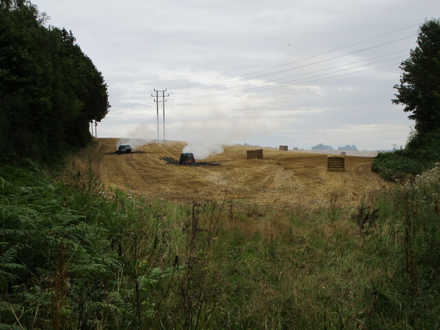
Mill Hill is a small hill located in Nottinghamshire, England. Situated in the northern part of the county, it is part of the wider Sherwood Forest area. Despite its name, Mill Hill is not a particularly large or steep hill, more accurately described as a gentle incline with a modest elevation.
The hill is known for its lush greenery and picturesque surroundings. Covered in dense woodland, it offers a tranquil escape from the bustling city life, attracting visitors who seek solace in nature. The area is home to a variety of flora and fauna, including oak, birch, and pine trees, as well as various species of birds and small mammals.
At the top of Mill Hill, there is a small clearing that provides panoramic views of the surrounding countryside. On a clear day, visitors can enjoy breathtaking vistas across the rolling hills of Nottinghamshire, with glimpses of nearby villages and farmland.
Mill Hill is a popular destination for outdoor enthusiasts, offering a range of walking and hiking trails that cater to different abilities. The hill provides a gentle challenge for those looking for a leisurely stroll, while more adventurous hikers can explore the nearby Sherwood Forest or follow longer routes that connect to the wider network of footpaths in the area.
Overall, Mill Hill is a charming and serene location that offers a peaceful retreat for nature lovers and outdoor enthusiasts alike.
If you have any feedback on the listing, please let us know in the comments section below.
Mill Hill Images
Images are sourced within 2km of 53.231805/-1.1623033 or Grid Reference SK5670. Thanks to Geograph Open Source API. All images are credited.


Mill Hill is located at Grid Ref: SK5670 (Lat: 53.231805, Lng: -1.1623033)
Administrative County: Nottinghamshire
District: Bassetlaw
Police Authority: Nottinghamshire
What 3 Words
///torso.pints.shampoo. Near Warsop, Nottinghamshire
Nearby Locations
Related Wikis
Cuckney
Cuckney is a village and former civil parish, now in the parish of Norton, Cuckney, Holbeck and Welbeck, in the Bassetlaw district of Nottinghamshire,...

Cuckney Castle
Cuckney Castle was in the village of Cuckney, Nottinghamshire between Worksop and Market Warsop (grid reference SK566714). It was a motte and bailey fortress...

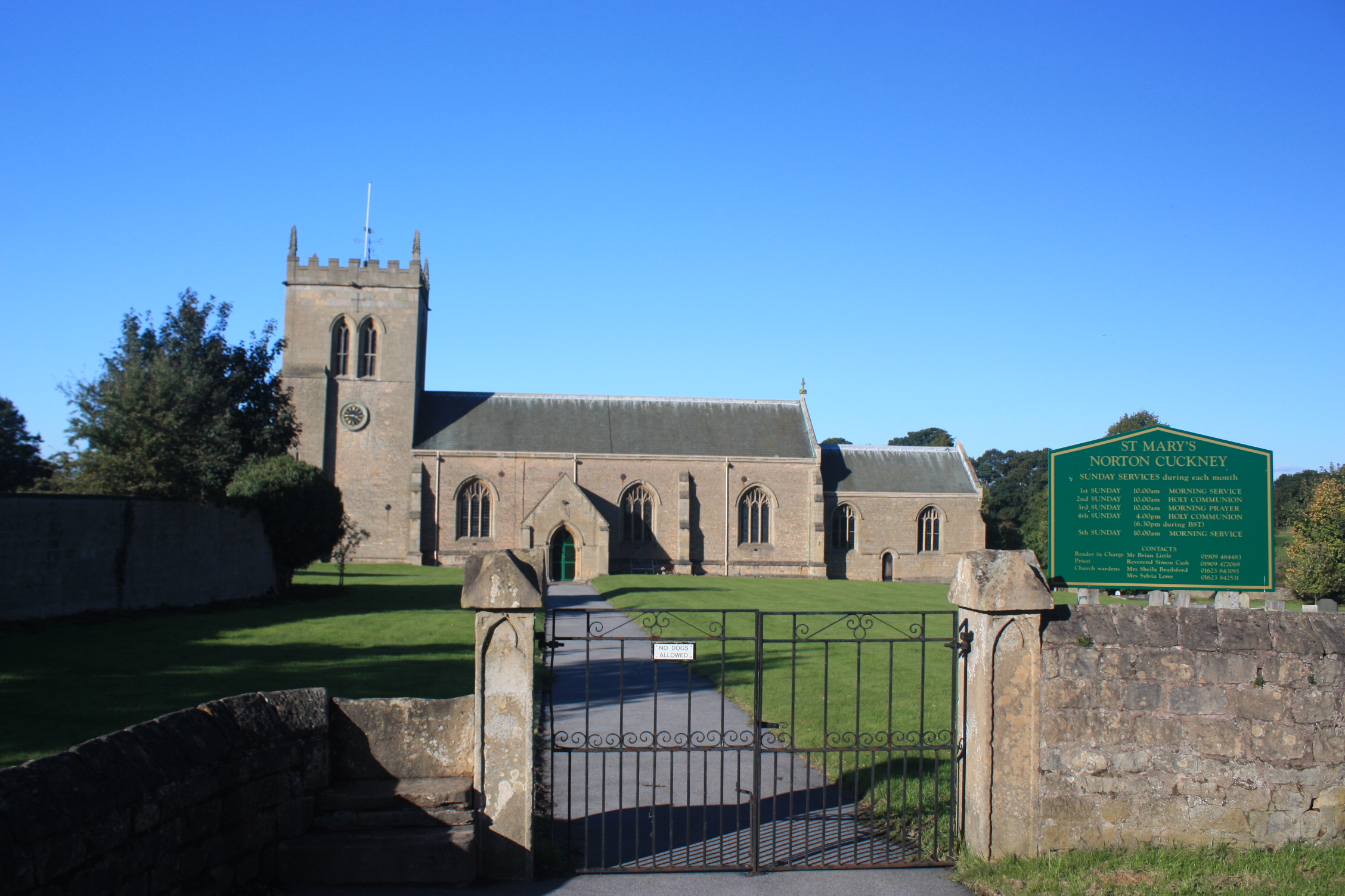
St Mary's Church, Norton Cuckney
St Mary's Church, Norton Cuckney is a Grade I listed parish church in the Church of England in Cuckney.At the edge of the churchyard are the remains of...
Norton and Cuckney
Norton and Cuckney is a former civil parish, now in the parish of Norton, Cuckney, Holbeck and Welbeck, in the Bassetlaw district, within the county of...

Cuckney Hill
Cuckney Hill lies between the village of Cuckney and the town of Market Warsop, in Nottinghamshire, East Midlands, England. Locals ironically to it as...
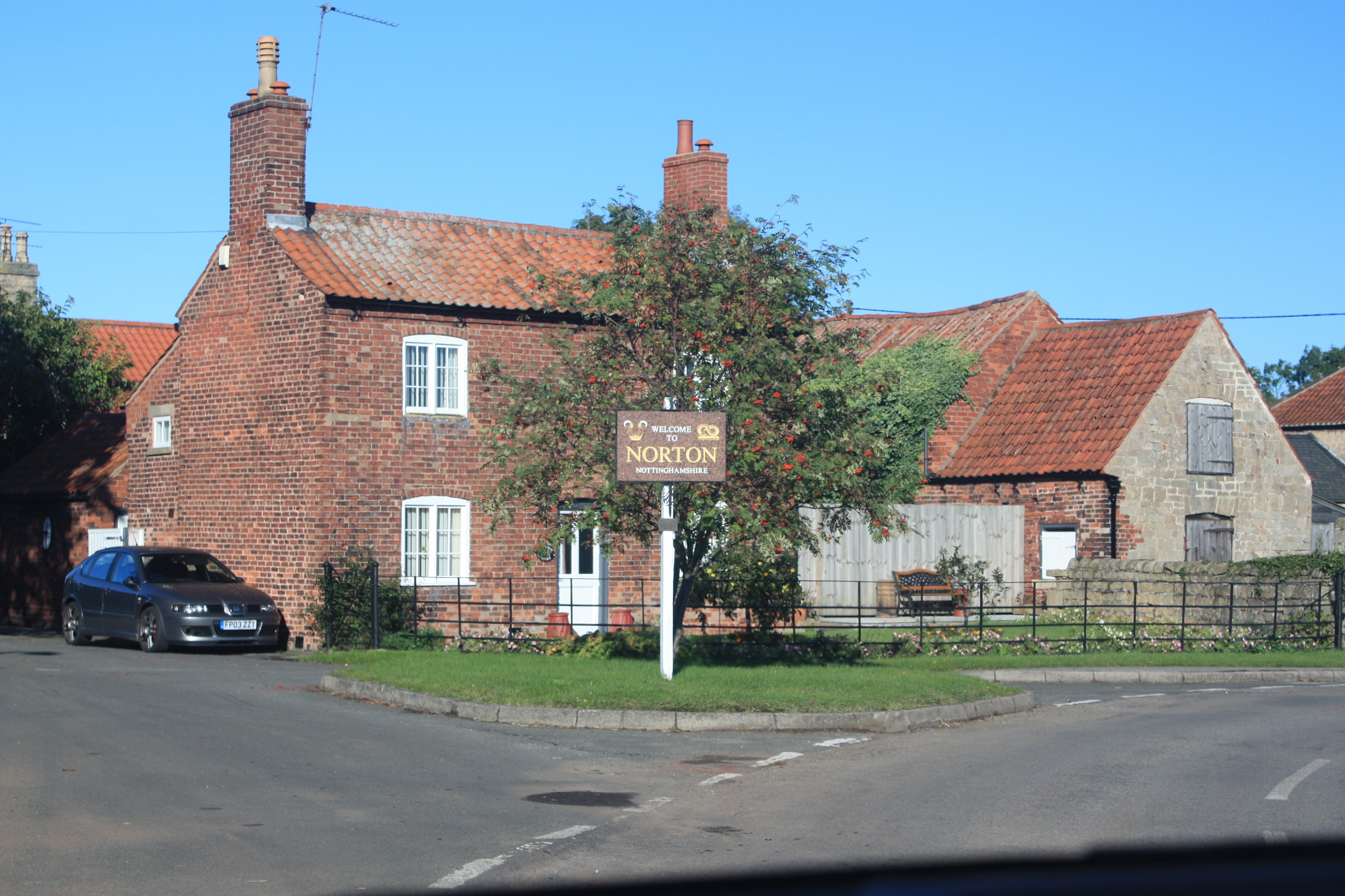
Norton, Nottinghamshire
Norton is a village and former civil parish, now in the parish of Norton, Cuckney, Holbeck and Welbeck, in the Bassetlaw district, in the county of Nottinghamshire...

Norton, Cuckney, Holbeck and Welbeck
Norton, Cuckney, Holbeck and Welbeck is a civil parish in the Bassetlaw district of Nottinghamshire, England. The Norton and Cuckney, and the Holbeck and...

St Peter and St Paul's Church, Church Warsop
St Peter and St Paul's Church, Church Warsop is a Grade I listed parish church in the Church of England in Church Warsop. Several gravestones, the boundary...
Nearby Amenities
Located within 500m of 53.231805,-1.1623033Have you been to Mill Hill?
Leave your review of Mill Hill below (or comments, questions and feedback).