Barrow Hill
Hill, Mountain in Northamptonshire
England
Barrow Hill

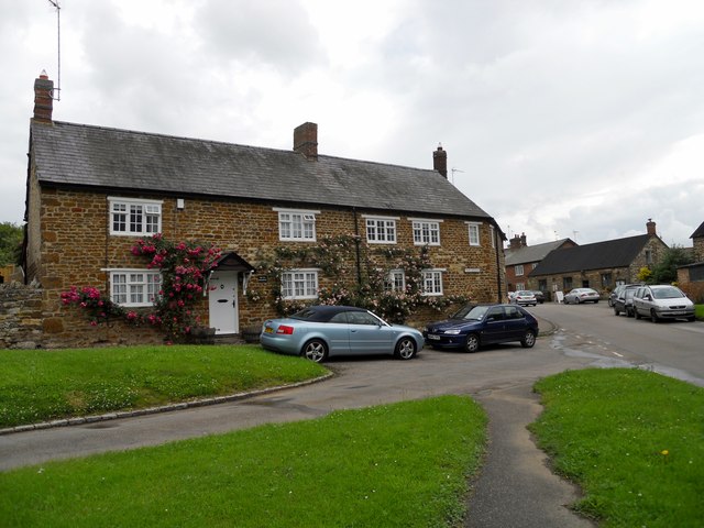
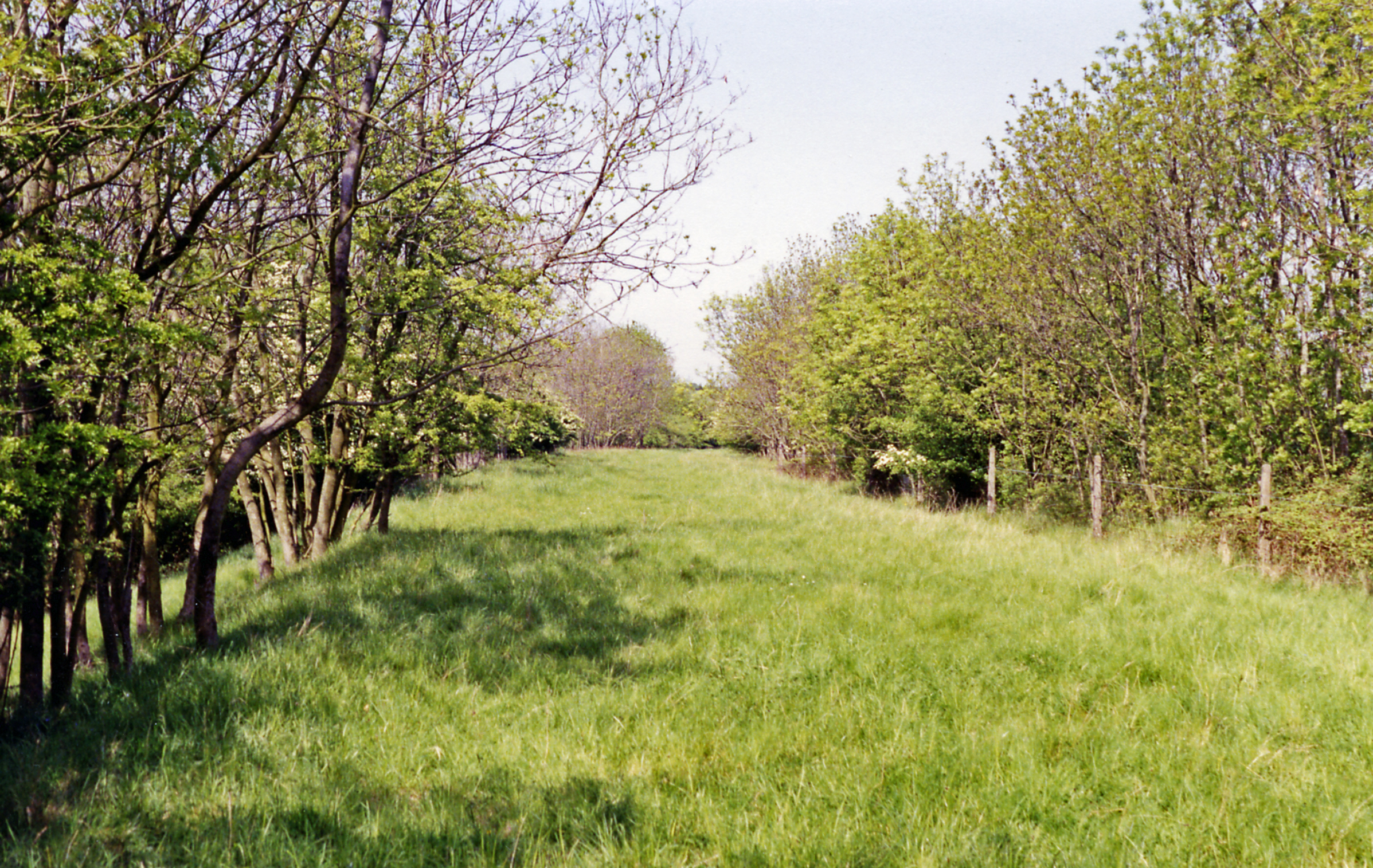
Barrow Hill is a prominent geographical feature located in Northamptonshire, England. It is a hill of considerable height, rising to an elevation of approximately 225 meters (738 feet) above sea level. Situated near the village of Barrowden, this distinctive hill offers breathtaking panoramic views of the surrounding countryside, making it a popular destination for hikers and nature enthusiasts.
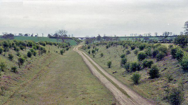
The hill itself is characterized by its gently sloping sides, covered in lush green grass and scattered with a variety of wildflowers during the summer months. Its summit is relatively flat, providing ample space for visitors to explore and enjoy the picturesque vistas. At the top, there are remnants of an ancient hillfort, believed to have been built during the Iron Age, adding to the historical significance of the site.
Barrow Hill is also home to an abundance of wildlife, with numerous species of birds, insects, and small mammals inhabiting the area. Birdwatchers often flock to the hill to catch glimpses of rare or migratory species, while botany enthusiasts can marvel at the diverse range of plants and flowers that thrive in this ecosystem.
For those seeking outdoor activities, Barrow Hill offers several well-maintained trails and footpaths that wind their way up and around the hill, providing both challenging hikes and leisurely strolls. Along these paths, visitors may come across ancient burial mounds, further evidencing the area's rich history.
Overall, Barrow Hill in Northamptonshire serves as a captivating natural landmark, blending scenic beauty, cultural heritage, and ecological diversity into a remarkable destination for locals and tourists alike.
If you have any feedback on the listing, please let us know in the comments section below.
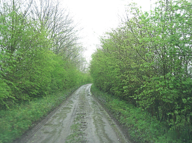
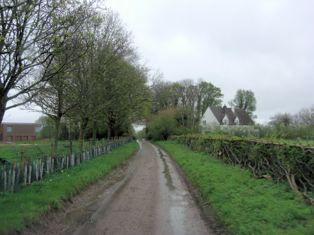
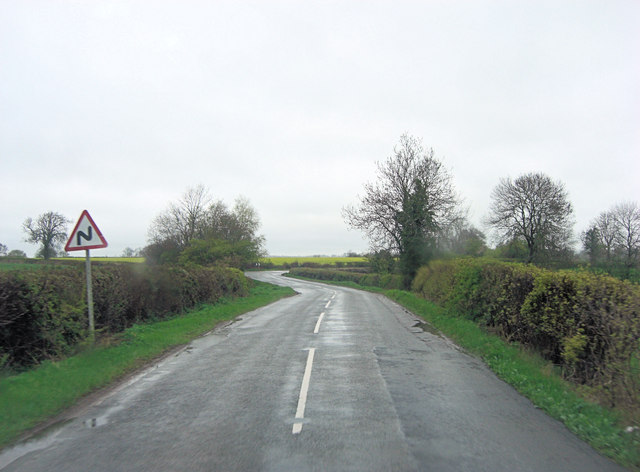
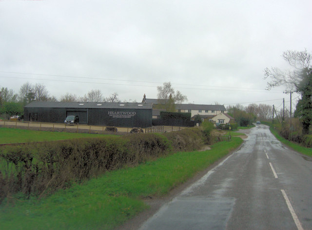
Barrow Hill Images
Images are sourced within 2km of 52.120403/-1.1832331 or Grid Reference SP5647. Thanks to Geograph Open Source API. All images are credited.


Barrow Hill is located at Grid Ref: SP5647 (Lat: 52.120403, Lng: -1.1832331)
Unitary Authority: West Northamptonshire
Police Authority: Northamptonshire
What 3 Words
///blurs.itself.food. Near Hinton, Northamptonshire
Nearby Locations
Related Wikis
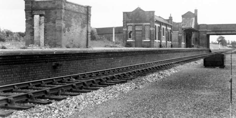
Culworth railway station
This station, near the village of Moreton Pinkney in Northamptonshire, was on the former Great Central Railway's London Extension which ran from the north...
Culworth
Culworth is a village and civil parish about 7 miles (11 km) north of Brackley in West Northamptonshire, England. Culworth is also about 7 miles (11 km...

Sulgrave Manor
Sulgrave Manor, Sulgrave, Northamptonshire, England is a mid-16th century Tudor hall house built by Lawrence Washington, the 3rd great-grandfather of George...
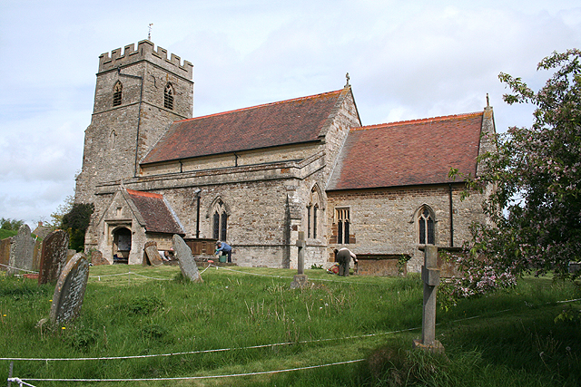
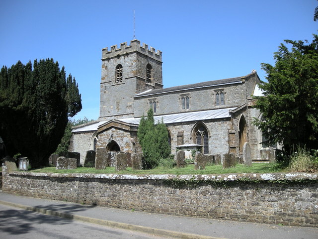
Church of St James the Less, Sulgrave
The Church of St James the Less, Sulgrave, is the Church of England parish church of Sulgrave, a village and civil parish about 5 miles (8 km) north of...

Sulgrave
Sulgrave is a village and civil parish in West Northamptonshire, England, about 5 miles (8 km) north of Brackley. The village is just south of a stream...
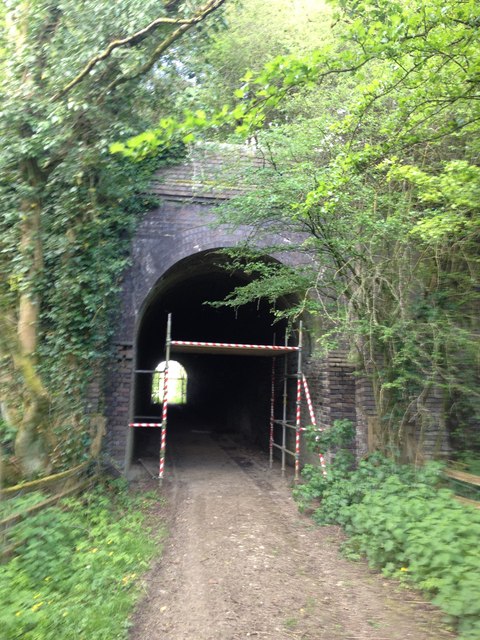
Eydon Road Halt railway station
Eydon Road Halt was a railway station on the link line between the Great Central Railway and the Great Western Railway's Birmingham - London line, leaving...

Moreton Pinkney
Moreton Pinkney is a village and civil parish in West Northamptonshire, about 7.5 miles (12 km) north of Brackley. The 2011 Census recorded the parish...

Weston, Northamptonshire
Weston is a village in West Northamptonshire, England. Together with neighbouring Weedon Lois (also known as Lois Weedon) it forms the civil parish of...
Nearby Amenities
Located within 500m of 52.120403,-1.1832331Have you been to Barrow Hill?
Leave your review of Barrow Hill below (or comments, questions and feedback).