Blackthorn Spinney

Wood, Forest in Northamptonshire

England

Blackthorn Spinney

Barley Hill, Culworth Wherever will the sat-nav take us next?
Barley Hill, Culworth Credit: Stuart Logan

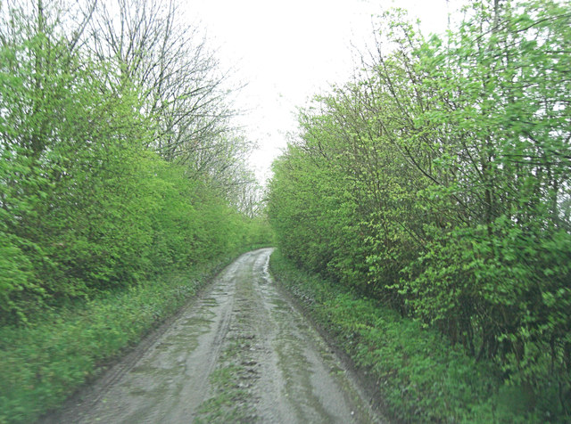
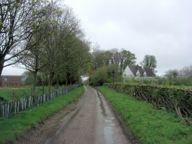
Blackthorn Spinney is a charming woodland located in the county of Northamptonshire, England. Situated near the village of Blackthorn, this spinney covers an area of approximately 10 acres and is a popular destination for nature lovers and outdoor enthusiasts.

The spinney is primarily composed of deciduous trees, such as oak, ash, and beech, which create a lush and vibrant canopy during the spring and summer months. The forest floor is adorned with a variety of native wildflowers, including bluebells, wood anemones, and primroses, adding a burst of color to the landscape.

Blackthorn Spinney is home to a diverse range of wildlife, making it a haven for nature enthusiasts. Birdwatchers can spot a variety of species, including woodpeckers, thrushes, and owls, while small mammals such as squirrels and hedgehogs can be seen scurrying through the undergrowth. The spinney also provides a habitat for numerous insects and butterflies, attracting those with an interest in entomology.

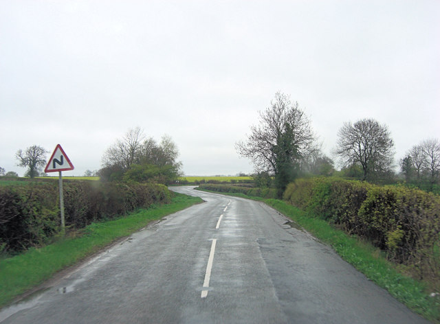
Visitors to Blackthorn Spinney can explore the woodland through a network of well-maintained footpaths, which wind their way through the trees and offer scenic views of the surrounding countryside. The spinney is a tranquil and peaceful setting, providing an ideal escape from the hustle and bustle of everyday life.

Overall, Blackthorn Spinney is a beautiful and ecologically important woodland, offering a slice of natural beauty to residents and visitors of Northamptonshire.

If you have any feedback on the listing, please let us know in the comments section below.

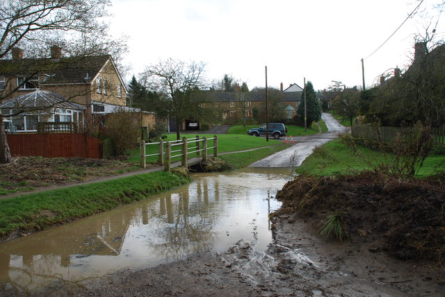
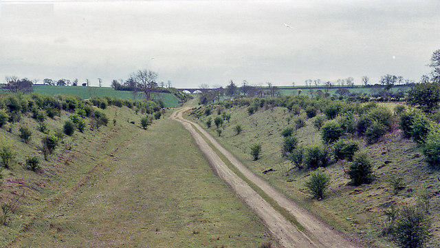
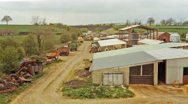
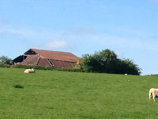
Blackthorn Spinney Images

Images are sourced within 2km of 52.123325/-1.1715966 or Grid Reference SP5647. Thanks to Geograph Open Source API. All images are credited.

Barley Hill, Culworth Wherever will the sat-nav take us next?
Barley Hill, Culworth
Wherever will the sat-nav take us next?
Barley Hill - lane south of Fulford Farm
Zig-zags north of Zig-zag Farm This road doesn't appear to have an official name?
Zig-zags north of Zig-zag Farm
This road doesn't appear to have an official name?
The Heartwood Stove Company at Fox Farm Diversification in farm buildings is increasingly common. Here are suppliers of wood burning appliances and fitted kitchens.
The Heartwood Stove Company at Fox Farm
Diversification in farm buildings is increasingly common. Here are suppliers of wood burning appliances and fitted kitchens.
Upper Green, Moreton Pinkney At first glance a pretty village scene but look at the pub sign on the left. If it looks like a gibbet it's because the pub is being demolished. Furthermore just round the bend almost every dwelling is up for sale. Influence of the new high speed rail link? Perhaps; but the route is a couple of miles southwest of here. The village website is more chereful about the pub; it used to be called England's Rose and is in the process of reconstruction.
Upper Green, Moreton Pinkney
At first glance a pretty village scene but look at the pub sign on the left. If it looks like a gibbet it's because the pub is being demolished. Furthermore just round the bend almost every dwelling is up for sale. Influence of the new high speed rail link? Perhaps; but the route is a couple of miles southwest of here. The village website is more chereful about the pub; it used to be called England's Rose and is in the process of reconstruction.
Ford at Moreton Pinkney This impressive ford is found at the end of the village of Moreton Pinkney. Shown here after heavy rain.
Ford at Moreton Pinkney
This impressive ford is found at the end of the village of Moreton Pinkney. Shown here after heavy rain.
Site of Culworth station, 1984 View southward, towards Aylesbury and London: ex-Great Central London (Marylebone) - Leicester - Nottingham - Sheffield main line. The station, which was over a mile east of the village,  was closed to passengers 29/5/58 (to goods 4/6/62), but the line remained open Aylesbury - Rugby until 5/9/66.
Site of Culworth station, 1984
View southward, towards Aylesbury and London: ex-Great Central London (Marylebone) - Leicester - Nottingham - Sheffield main line. The station, which was over a mile east of the village, was closed to passengers 29/5/58 (to goods 4/6/62), but the line remained open Aylesbury - Rugby until 5/9/66.
Site of Culworth station, 1984 View northward from B4525 bridge, towards Woodford Halse, Rugby, Leicester etc.: ex-Great Central London (Marylebone) - Leicester - Nottingham - Sheffield main line. The station was closed to passengers 29/5/58 (goods 4/6/62) and the line, Aylesbury - Rugby 5/9/66. In 1984 the site seems to be occupied by agricultural industry. Culworth village is over one mile to the west. (Cf. <a href="https://www.geograph.org.uk/photo/2265862">SP5648 : The Site of Culworth Station</a>).
Site of Culworth station, 1984
View northward from B4525 bridge, towards Woodford Halse, Rugby, Leicester etc.: ex-Great Central London (Marylebone) - Leicester - Nottingham - Sheffield main line. The station was closed to passengers 29/5/58 (goods 4/6/62) and the line, Aylesbury - Rugby 5/9/66. In 1984 the site seems to be occupied by agricultural industry. Culworth village is over one mile to the west. (Cf. SP5648 : The Site of Culworth Station).
Field View
Field View
Farm Buildings
Farm Buildings
Approaching Moreton Pinkney
Moreton Pinkney Ford
Weather vane
Weather vane
Moreton Pinkney
Moreton Pinkney
Disused Farm Equipment
Field View
Field View
Railway Bridge
Railway Bridge
Show me another place!

Blackthorn Spinney is located at Grid Ref: SP5647 (Lat: 52.123325, Lng: -1.1715966)

Unitary Authority: West Northamptonshire

Police Authority: Northamptonshire

What 3 Words

///recliner.confined.clots. Near Hinton, Northamptonshire

Related Wikis

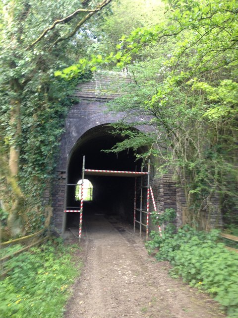
Culworth railway station

This station, near the village of Moreton Pinkney in Northamptonshire, was on the former Great Central Railway's London Extension which ran from the north...

Moreton Pinkney

Moreton Pinkney is a village and civil parish in West Northamptonshire, about 7.5 miles (12 km) north of Brackley. The 2011 Census recorded the parish...

Sulgrave Manor

Sulgrave Manor, Sulgrave, Northamptonshire, England is a mid-16th century Tudor hall house built by Lawrence Washington, the 3rd great-grandfather of George...

Weston, Northamptonshire

Weston is a village in West Northamptonshire, England. Together with neighbouring Weedon Lois (also known as Lois Weedon) it forms the civil parish of...

Weston Hall, Northamptonshire

Weston Hall is a 17th-century manor house in Weston, Northamptonshire. The house was owned by the Sitwell family's ancestors from 1714 to 2021. It is...

Sulgrave

Sulgrave is a village and civil parish in West Northamptonshire, England, about 5 miles (8 km) north of Brackley. The village is just south of a stream...

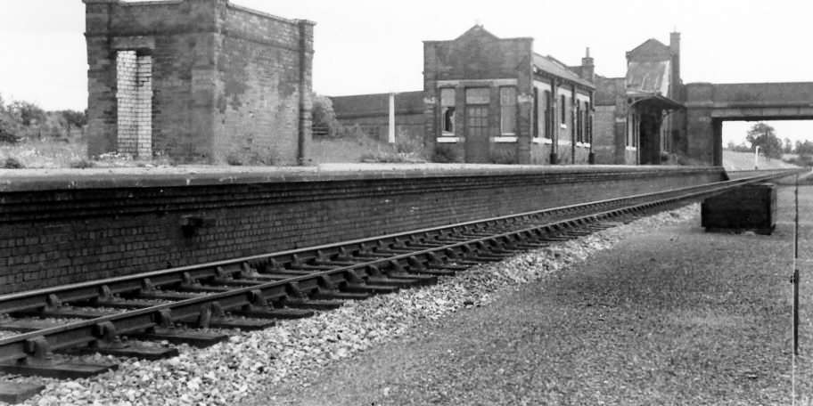
Morton Pinkney railway station

Morton Pinkney (also known as Morton Pinkney for Sulgrave) was a railway station on the Stratford-upon-Avon and Midland Junction Railway (SMJ) which served...

Culworth

Culworth is a village and civil parish about 7 miles (11 km) north of Brackley in West Northamptonshire, England. Culworth is also about 7 miles (11 km...

Nearby Amenities

Located within 500m of 52.123325,-1.1715966
Barrier: stile
Steps: 1
Lat/Long: 52.1260885/-1.1697983
Barrier: stile
Steps: 1
Lat/Long: 52.1274229/-1.1693617
Barrier: stile
Steps: 2
Lat/Long: 52.1253496/-1.1714127
Barrier: stile
Steps: 1
Lat/Long: 52.1256144/-1.1712097
Niden Manor Farm Airstrip
Addr City: Moreton Pinkney
Aeroway: aerodrome
Lat/Long: 52.1255692/-1.170135
The data included in this document is from www.openstreetmap.org. The data is made available under ODbL.

Have you been to Blackthorn Spinney?

Leave your review of Blackthorn Spinney below (or comments, questions and feedback).