Railway Spinney
Wood, Forest in Northamptonshire
England
Railway Spinney
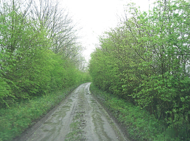
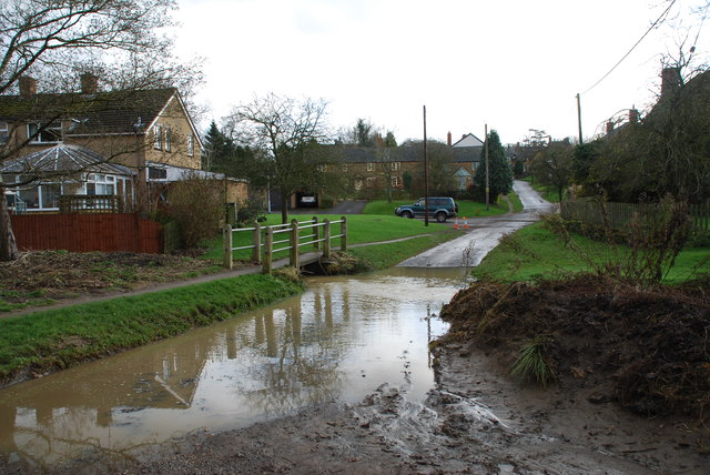
Railway Spinney is a small woodland area located in Northamptonshire, England. Situated near the town of Wood, the spinney is a beautiful natural retreat that offers tranquility and scenic beauty to visitors. It spans across an area of approximately 10 acres and is characterized by dense trees, wildflowers, and a variety of wildlife.
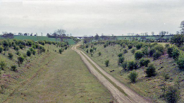
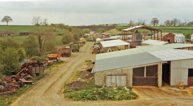
The spinney is named after its proximity to a disused railway line that used to run through the area. The remnants of the railway can still be seen, adding a touch of history to the woodland. The trees in Railway Spinney consist mainly of oak, ash, and birch, creating a lush canopy that provides shade and shelter for a diverse range of plant and animal species.
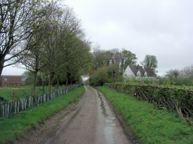
Visitors to Railway Spinney can enjoy leisurely walks along the well-maintained footpaths that wind through the woodland. The peaceful atmosphere and the melodic sounds of birdsong make it an ideal place for relaxation and meditation. The woodland also offers opportunities for nature photography and birdwatching, with various species such as robins, blue tits, and great spotted woodpeckers frequently spotted in the area.
Railway Spinney is a popular destination for local residents and nature enthusiasts who seek a break from the hustle and bustle of everyday life. It serves as a valuable green space, providing a habitat for wildlife and promoting the importance of conservation. Whether one is looking for a quiet picnic spot or a peaceful walk in nature, Railway Spinney offers a serene and picturesque setting for all to enjoy.
If you have any feedback on the listing, please let us know in the comments section below.
Railway Spinney Images
Images are sourced within 2km of 52.124506/-1.1747006 or Grid Reference SP5647. Thanks to Geograph Open Source API. All images are credited.


Railway Spinney is located at Grid Ref: SP5647 (Lat: 52.124506, Lng: -1.1747006)
Unitary Authority: West Northamptonshire
Police Authority: Northamptonshire
What 3 Words
///these.bless.officials. Near Hinton, Northamptonshire
Nearby Locations
Related Wikis
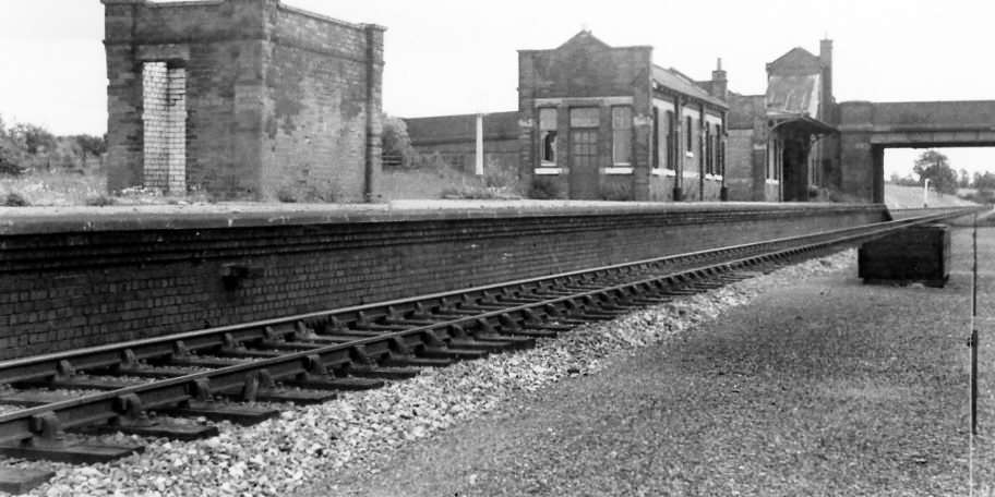
Culworth railway station
This station, near the village of Moreton Pinkney in Northamptonshire, was on the former Great Central Railway's London Extension which ran from the north...

Moreton Pinkney
Moreton Pinkney is a village and civil parish in West Northamptonshire, about 7.5 miles (12 km) north of Brackley. The 2011 Census recorded the parish...

Sulgrave Manor
Sulgrave Manor, Sulgrave, Northamptonshire, England is a mid-16th century Tudor hall house built by Lawrence Washington, the 3rd great-grandfather of George...
Culworth
Culworth is a village and civil parish about 7 miles (11 km) north of Brackley in West Northamptonshire, England. Culworth is also about 7 miles (11 km...

Morton Pinkney railway station
Morton Pinkney (also known as Morton Pinkney for Sulgrave) was a railway station on the Stratford-upon-Avon and Midland Junction Railway (SMJ) which served...

Sulgrave
Sulgrave is a village and civil parish in West Northamptonshire, England, about 5 miles (8 km) north of Brackley. The village is just south of a stream...
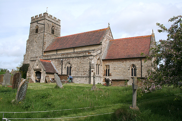
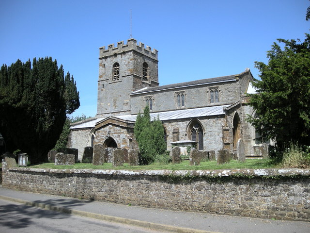
Church of St James the Less, Sulgrave
The Church of St James the Less, Sulgrave, is the Church of England parish church of Sulgrave, a village and civil parish about 5 miles (8 km) north of...

Weston, Northamptonshire
Weston is a village in West Northamptonshire, England. Together with neighbouring Weedon Lois (also known as Lois Weedon) it forms the civil parish of...
Nearby Amenities
Located within 500m of 52.124506,-1.1747006Have you been to Railway Spinney?
Leave your review of Railway Spinney below (or comments, questions and feedback).