Crimea Plantation
Wood, Forest in Nottinghamshire Gedling
England
Crimea Plantation

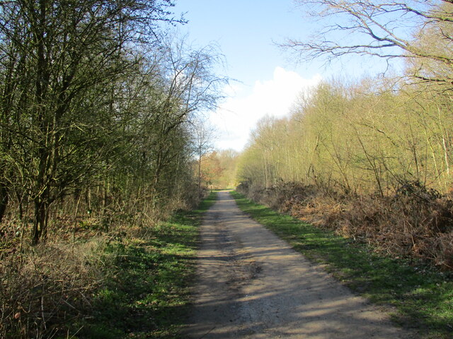
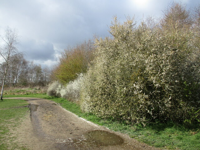
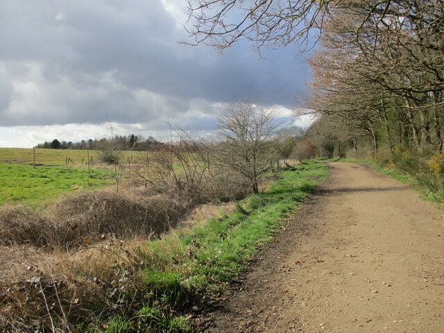
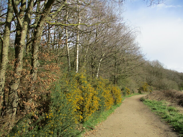
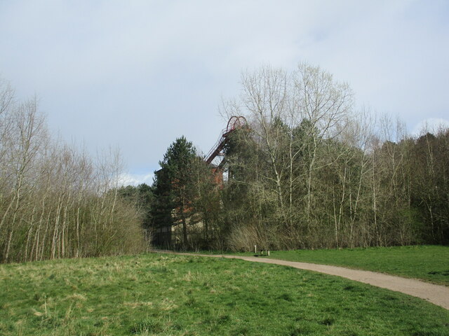
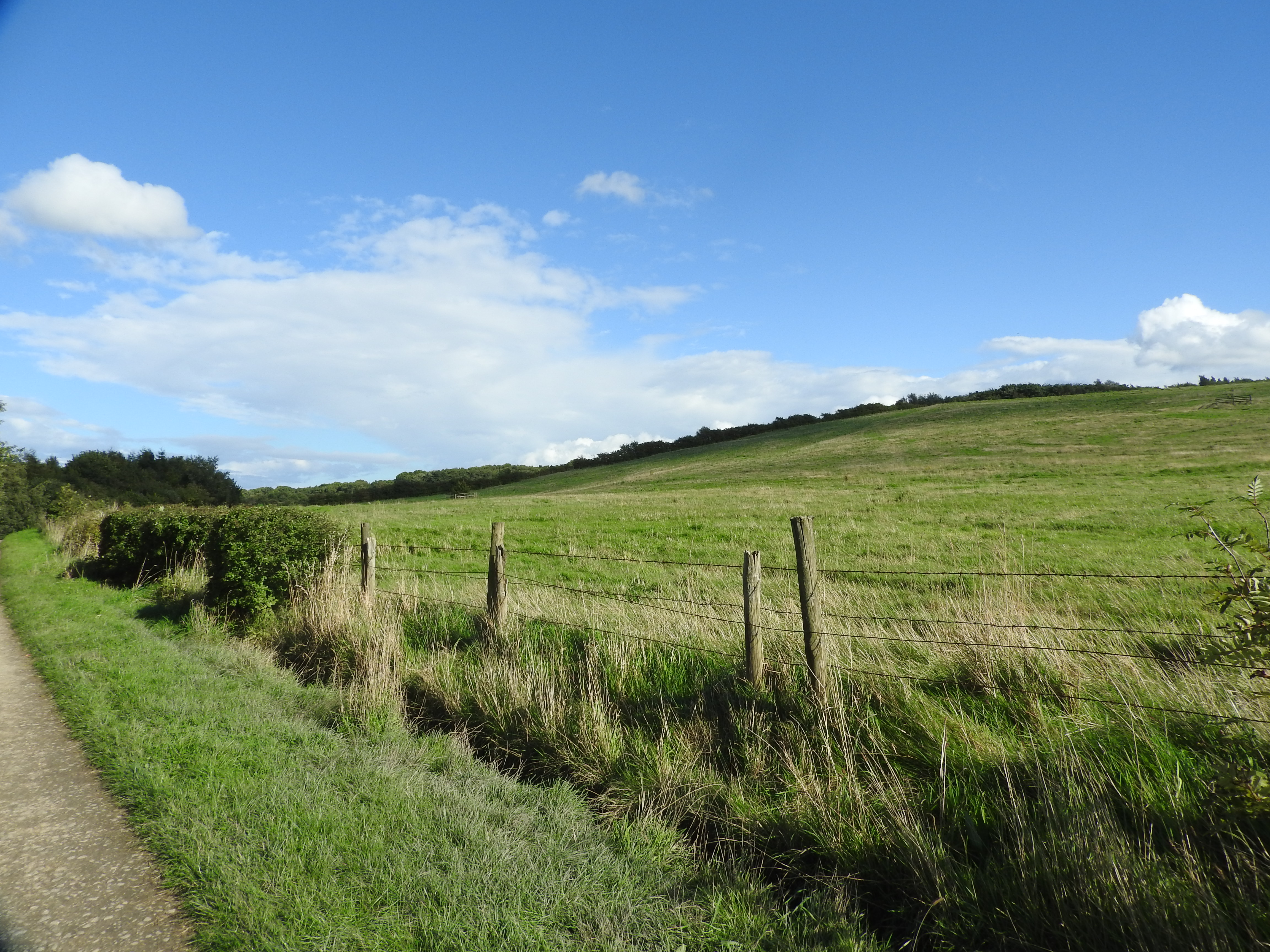
Crimea Plantation is a wooded area located in Nottinghamshire, England. Situated in the heart of the county, it covers an approximate area of 200 acres. The plantation is part of the wider Sherwood Forest, famous for its association with the legendary Robin Hood.
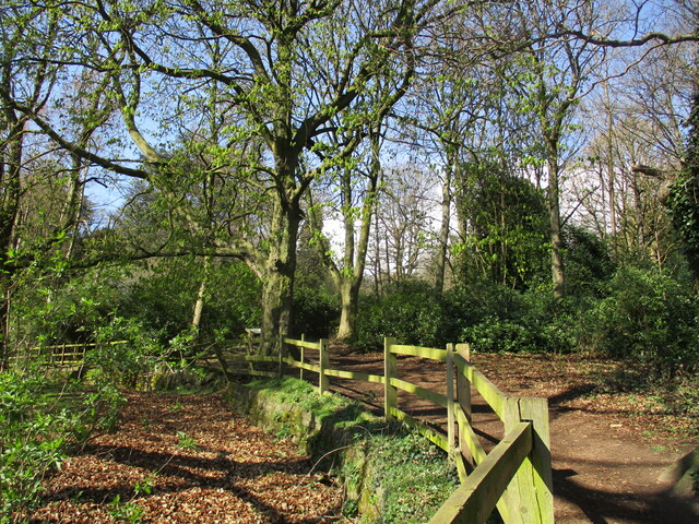
Crimea Plantation is predominantly composed of broadleaf trees, including oak, beech, and ash, which create a dense and picturesque woodland. The trees provide ample shade, making it an ideal spot for leisurely walks and picnics during the summer months. The plantation is also home to a variety of wildlife, including squirrels, rabbits, and a wide array of bird species, making it a popular destination for nature enthusiasts and birdwatchers.
The plantation's name, Crimea, is believed to have been derived from the Crimean War, which took place in the mid-19th century. It is speculated that some of the trees were planted to commemorate the war or the soldiers who fought in it, although concrete evidence is scarce.
Over the years, Crimea Plantation has become a beloved recreational area for locals and visitors alike. It offers several well-marked trails for hikers and cyclists to explore, allowing them to immerse themselves in the natural beauty of the surrounding woodland. The plantation is easily accessible, with ample parking facilities and nearby amenities, making it an ideal place for a day trip or a peaceful retreat from the hustle and bustle of everyday life.
If you have any feedback on the listing, please let us know in the comments section below.
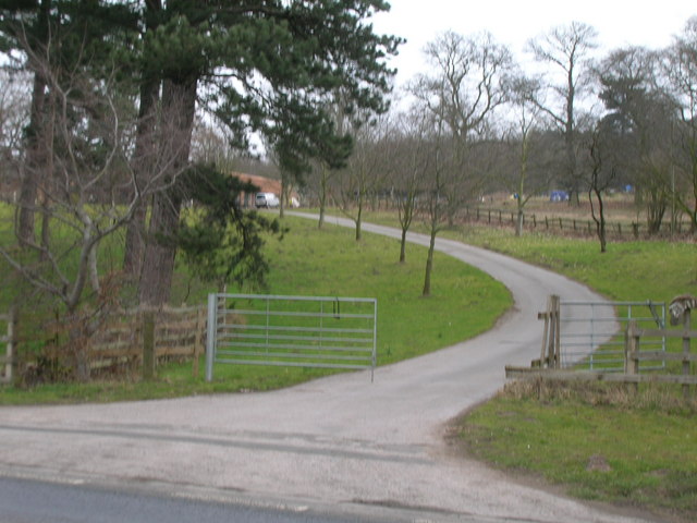
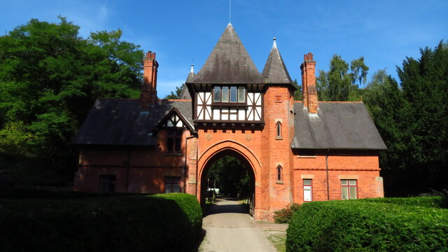
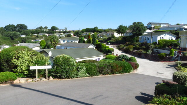
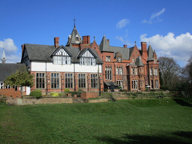
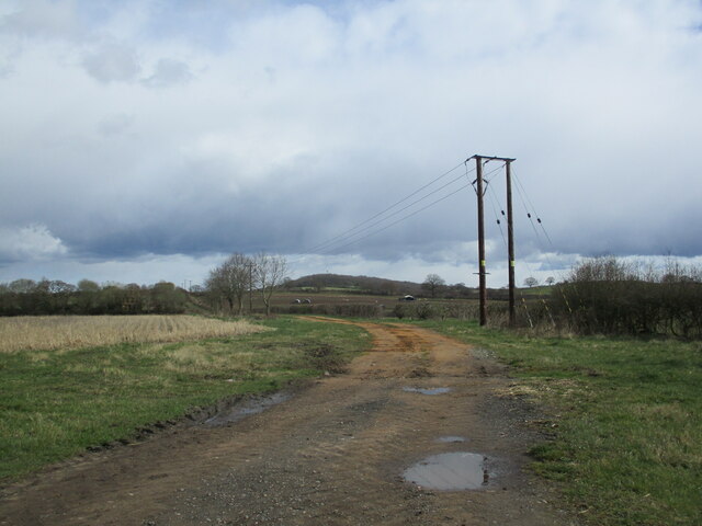
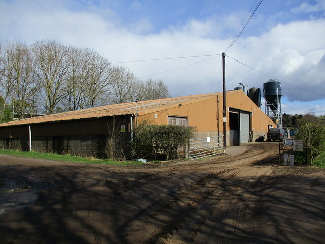
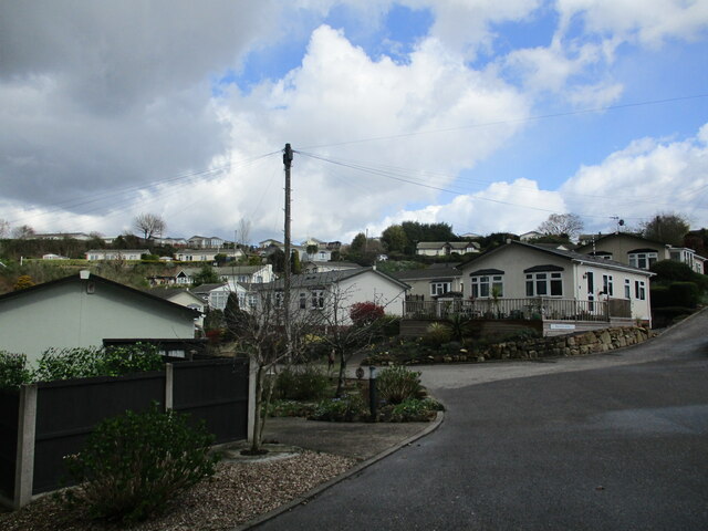
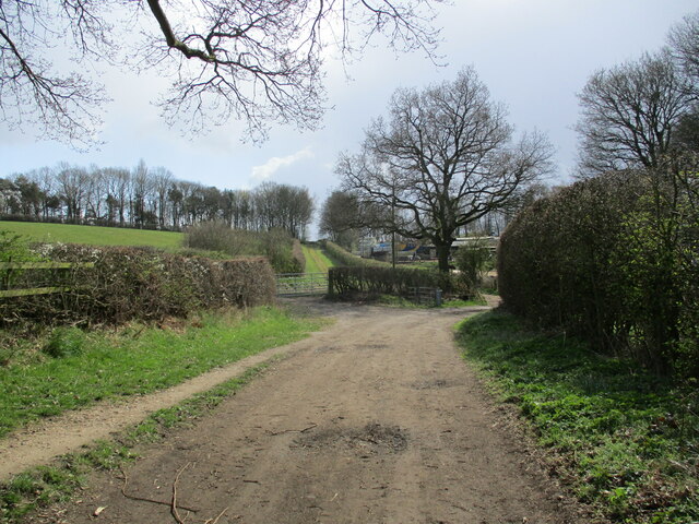
Crimea Plantation Images
Images are sourced within 2km of 53.029447/-1.1569837 or Grid Reference SK5648. Thanks to Geograph Open Source API. All images are credited.
Crimea Plantation is located at Grid Ref: SK5648 (Lat: 53.029447, Lng: -1.1569837)
Administrative County: Nottinghamshire
District: Gedling
Police Authority: Nottinghamshire
What 3 Words
///swaps.gender.punks. Near Hucknall, Nottinghamshire
Nearby Locations
Related Wikis

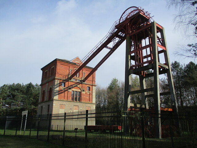
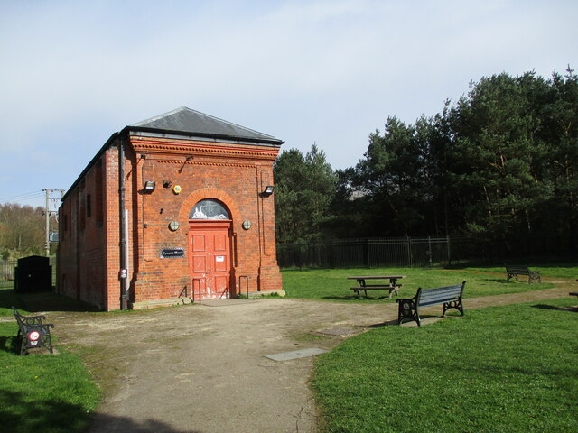
Bestwood Pumping Station
Bestwood Pumping Station was a water pumping station operating in Nottinghamshire from 1874 until 1964. == History == Bestwood Pumping Station was built...
Bestwood Country Park
Bestwood Country Park is a country park near Bestwood Village, Nottinghamshire, England. Bestwood was a hunting estate owned by the Crown from the medieval...

Bestwood Village
Bestwood Village is an area and civil parish in the Gedling district of Nottinghamshire. Until 1 April 2018 it was part of the civil parish of Bestwood...

The Oakwood Academy
The Oakwood Academy (formerly Big Wood School)' is a secondary school located on Bewcastle Road, Warren Hill, Nottingham, England. It is for 11- to 16...

Whyburn
The Whyburn (known locally as Town Brook, and by the UK Government as Baker Lane Brook) is the main watercourse flowing through the town of Hucknall in...
Warren Hill, Nottinghamshire
Warren Hill is an area within the market town of Arnold in the English ceremonial county of Nottinghamshire. Located in the civil parish of St. Albans...

St Albans, Nottinghamshire
St. Albans is a civil parish in the Gedling borough of Nottinghamshire, England. It was part of the wider Bestwood St. Albans parish, which ceased to exist...
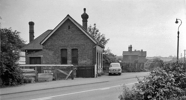
Bestwood Colliery railway station
Bestwood Colliery railway station was a former station on the Great Northern Railway Nottingham to Shirebrook line. == References ==
Nearby Amenities
Located within 500m of 53.029447,-1.1569837Have you been to Crimea Plantation?
Leave your review of Crimea Plantation below (or comments, questions and feedback).