Bestwood Village
Civil Parish in Nottinghamshire Gedling
England
Bestwood Village
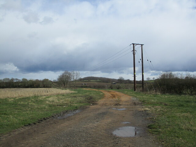
Bestwood Village is a civil parish located in Nottinghamshire, England. Situated approximately 4 miles north of Nottingham city center, the village is surrounded by picturesque countryside and offers a peaceful and rural setting.
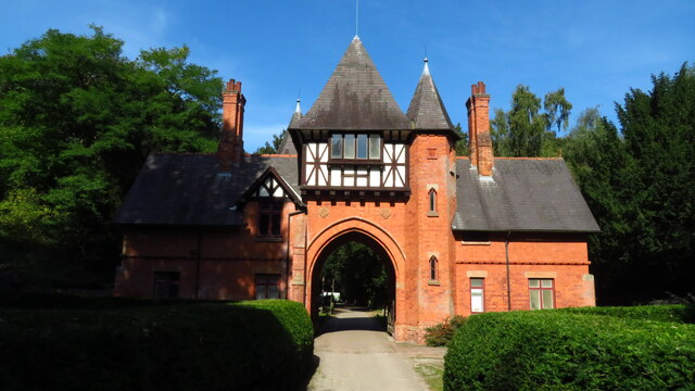
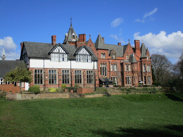
The village is known for its rich history, with evidence of human habitation in the area dating back to the Bronze Age. Bestwood was once home to Bestwood Lodge, a hunting lodge used by various English monarchs, including King Charles II. Although the lodge no longer exists, remnants of its history can still be seen in the surrounding woodland.
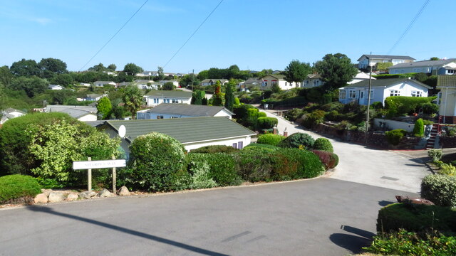
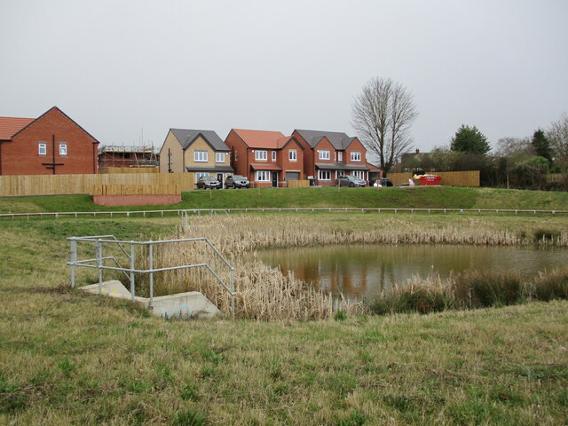
The village itself is small and close-knit, with a population of around 3,000 residents. It offers a range of amenities, including a primary school, a post office, a village hall, and a local pub. The community is vibrant and friendly, with various events and activities organized throughout the year, such as the Bestwood Duck Race and the Bestwood Country Show.
Bestwood Village is also well-connected in terms of transportation. The A60 road runs through the village, providing easy access to Nottingham and other surrounding areas. There are also regular bus services to nearby towns and cities.
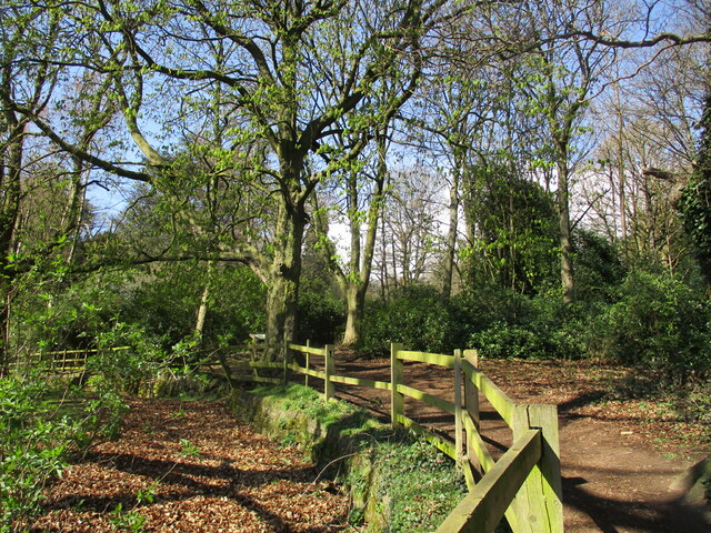
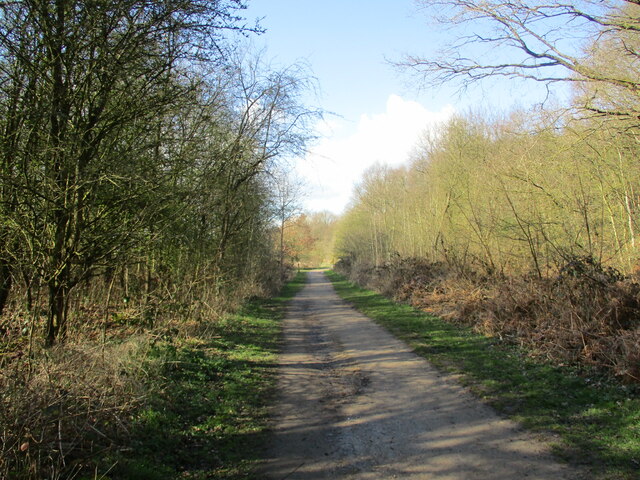
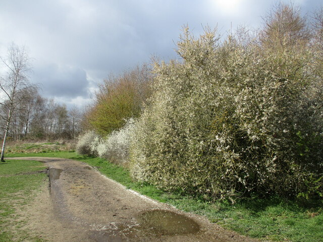
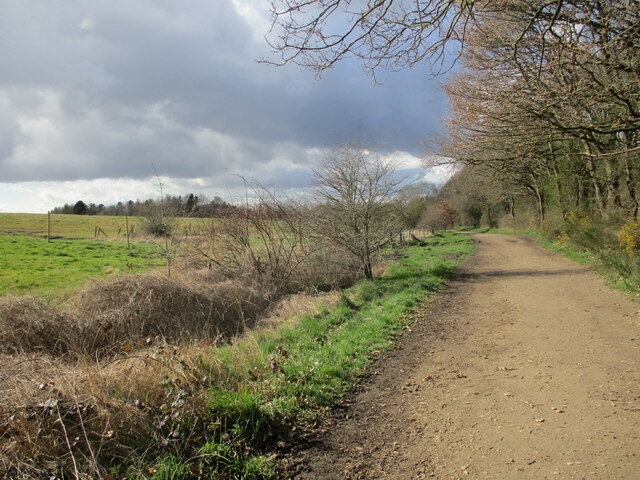
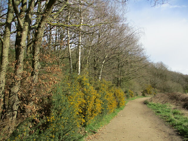
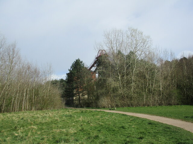
For nature enthusiasts, Bestwood Country Park is a popular attraction. This expansive park offers woodland walks, cycling trails, and a variety of wildlife to observe. It is a peaceful retreat for both locals and visitors alike.
Overall, Bestwood Village offers a charming rural escape with a strong sense of community and a rich historical background.
If you have any feedback on the listing, please let us know in the comments section below.
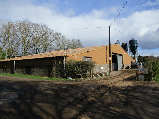
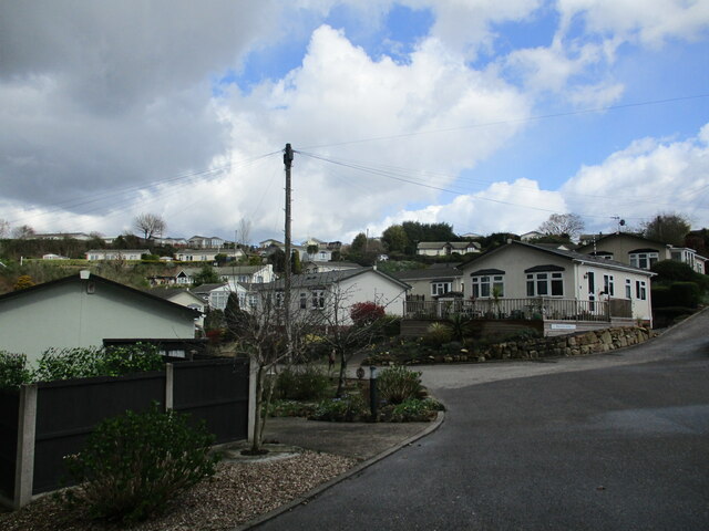
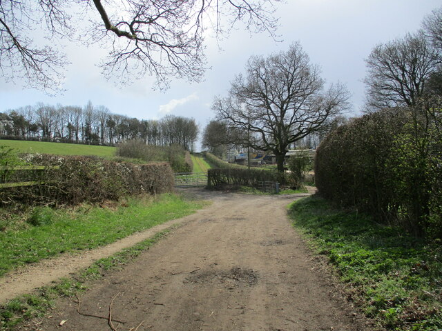
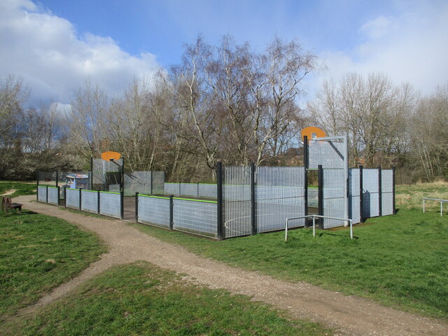
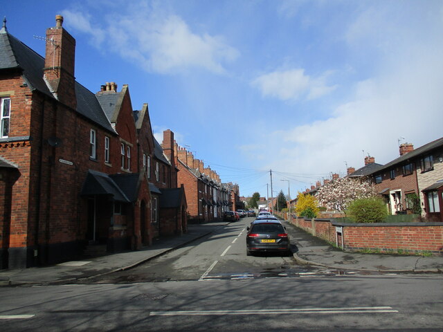
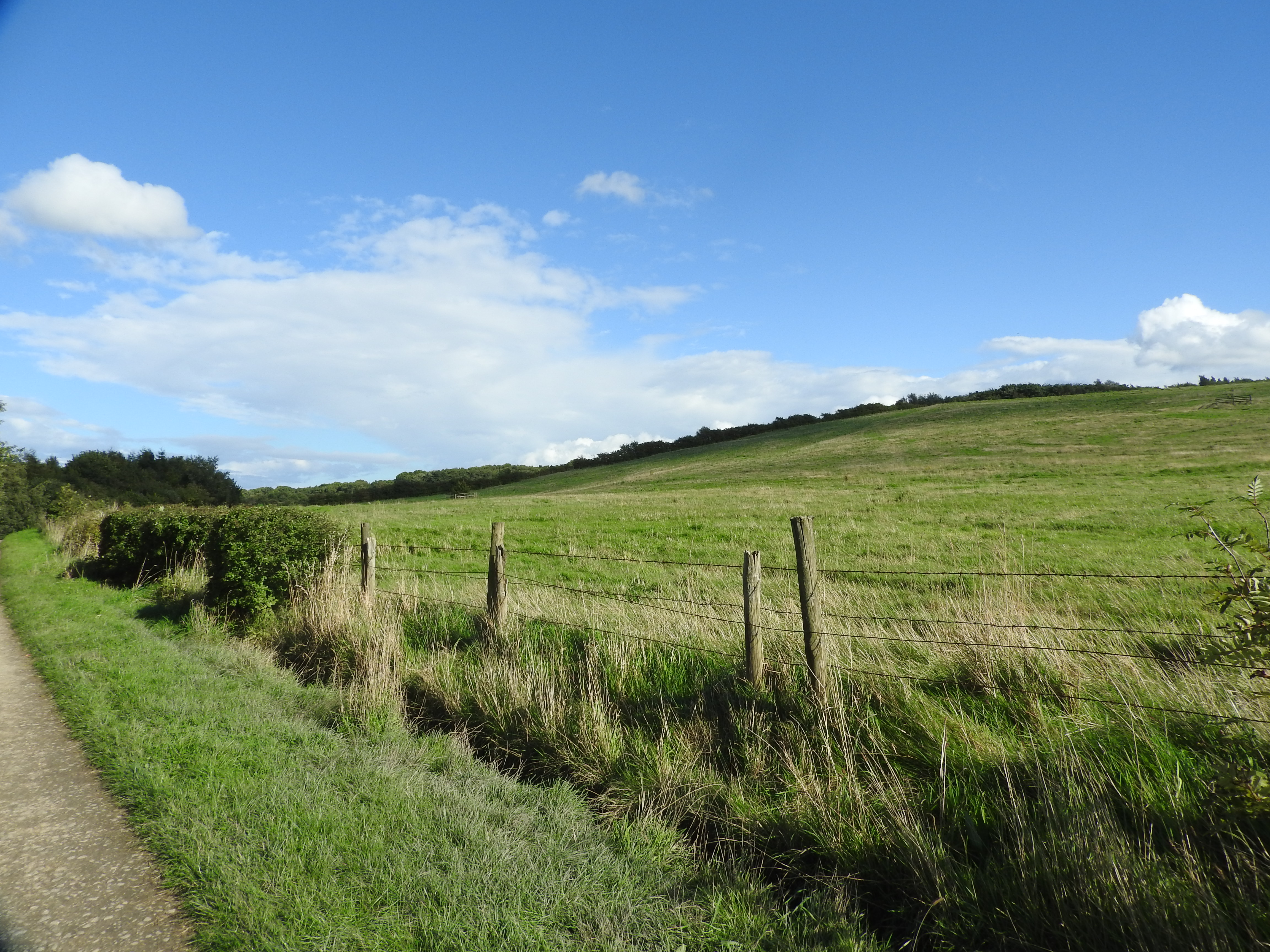
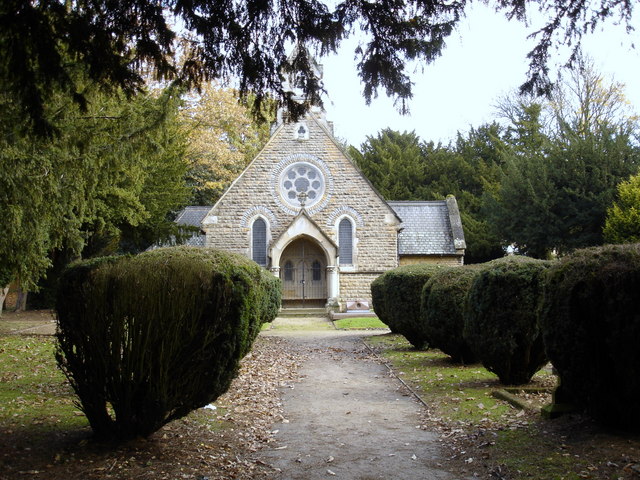
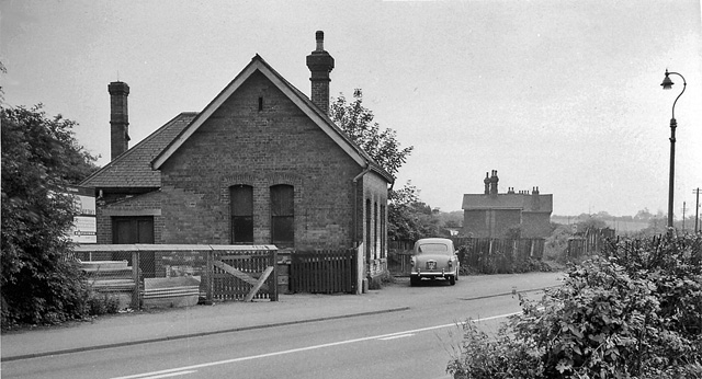
Bestwood Village Images
Images are sourced within 2km of 53.028769/-1.158046 or Grid Reference SK5648. Thanks to Geograph Open Source API. All images are credited.
Bestwood Village is located at Grid Ref: SK5648 (Lat: 53.028769, Lng: -1.158046)
Administrative County: Nottinghamshire
District: Gedling
Police Authority: Nottinghamshire
What 3 Words
///doors.prop.grab. Near Hucknall, Nottinghamshire
Nearby Locations
Related Wikis
Bestwood Country Park
Bestwood Country Park is a country park near Bestwood Village, Nottinghamshire, England. Bestwood was a hunting estate owned by the Crown from the medieval...

Bestwood Village
Bestwood Village is an area and civil parish in the Gedling district of Nottinghamshire. Until 1 April 2018 it was part of the civil parish of Bestwood...

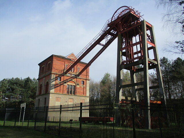
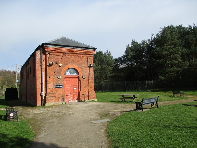
Bestwood Pumping Station
Bestwood Pumping Station was a water pumping station operating in Nottinghamshire from 1874 until 1964. == History == Bestwood Pumping Station was built...

The Oakwood Academy
The Oakwood Academy (formerly Big Wood School)' is a secondary school located on Bewcastle Road, Warren Hill, Nottingham, England. It is for 11- to 16...

Whyburn
The Whyburn (known locally as Town Brook, and by the UK Government as Baker Lane Brook) is the main watercourse flowing through the town of Hucknall in...
Warren Hill, Nottinghamshire
Warren Hill is an area within the market town of Arnold in the English ceremonial county of Nottinghamshire. Located in the civil parish of St. Albans...

St Albans, Nottinghamshire
St. Albans is a civil parish in the Gedling borough of Nottinghamshire, England. It was part of the wider Bestwood St. Albans parish, which ceased to exist...
Bestwood Colliery railway station
Bestwood Colliery railway station was a former station on the Great Northern Railway Nottingham to Shirebrook line. == References ==
Nearby Amenities
Located within 500m of 53.028769,-1.158046Have you been to Bestwood Village?
Leave your review of Bestwood Village below (or comments, questions and feedback).