Lambert Hag Wood

Wood, Forest in Yorkshire Ryedale

England

Lambert Hag Wood

Ionic Temple The Ionic Temple at Rievaulx Terrace.
Ionic Temple Credit: T Eyre

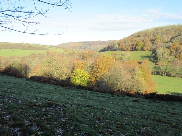
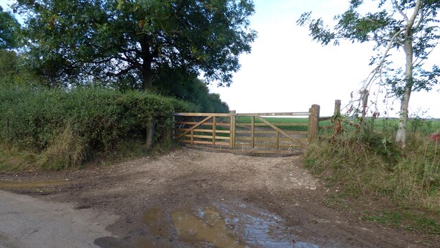
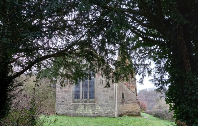
Lambert Hag Wood is a picturesque woodland located in Yorkshire, England. Covering an area of approximately 100 acres, it is known for its natural beauty and diverse wildlife. The wood is composed mainly of broadleaf trees, including oak, ash, and beech, creating a dense and lush canopy overhead.

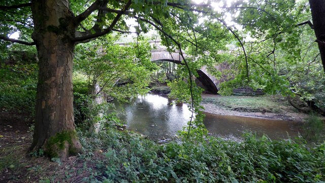
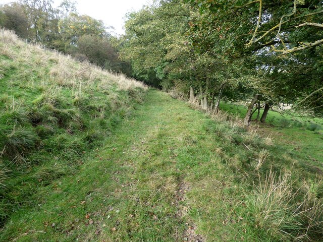
The woodland is accessible to the public and offers a network of well-maintained footpaths, making it a popular destination for nature lovers, walkers, and families. As visitors explore the wood, they can enjoy the tranquility and peacefulness of the surroundings, away from the hustle and bustle of urban life.

Lambert Hag Wood is home to a wide variety of wildlife, including mammals, birds, and insects. Deer can often be spotted grazing in the open areas, while badgers, foxes, and squirrels roam the forest floor. The wood provides an ideal habitat for many bird species, such as woodpeckers, owls, and warblers, making it a haven for birdwatchers.

In addition to its natural beauty, Lambert Hag Wood has historical significance. It is believed to have been an ancient woodland, with evidence of human activity dating back centuries. The wood has remnants of charcoal platforms and ditches, indicating its use for charcoal production during the medieval period.

Overall, Lambert Hag Wood offers a serene and enchanting experience for nature enthusiasts, providing a glimpse into the rich biodiversity and history of Yorkshire. Whether it is a peaceful walk in the woods or an opportunity to spot wildlife, this woodland is a delightful destination for visitors of all ages.

If you have any feedback on the listing, please let us know in the comments section below.

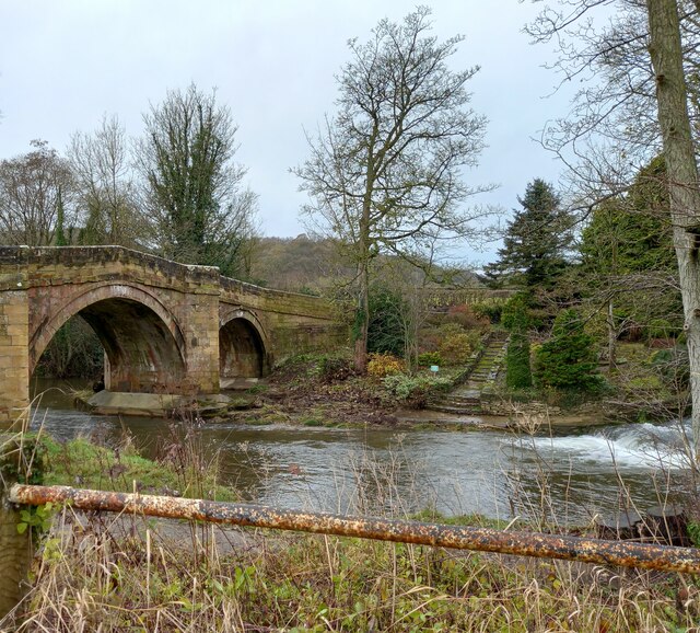
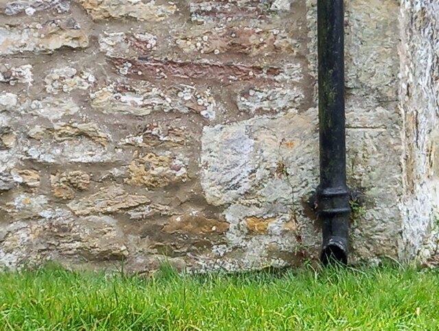
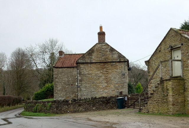
Lambert Hag Wood Images

Images are sourced within 2km of 54.262597/-1.1321699 or Grid Reference SE5685. Thanks to Geograph Open Source API. All images are credited.

Ionic Temple The Ionic Temple at Rievaulx Terrace.
Ionic Temple
The Ionic Temple at Rievaulx Terrace.
Far Hag Wood Looking NE across Ryedale.
Far Hag Wood
Looking NE across Ryedale.
Old Byland church The church in Old Byland.
Old Byland church
The church in Old Byland.
Bow Bridge Late 18th or early 19th century bridge. <span class="nowrap"><a title="https://historicengland.org.uk/listing/the-list/list-entry/1149190" rel="nofollow ugc noopener" href="https://historicengland.org.uk/listing/the-list/list-entry/1149190">Link</a><img style="margin-left:2px;" alt="External link" title="External link - shift click to open in new window" src="https://s1.geograph.org.uk/img/external.png" width="10" height="10"/></span>
Bow Bridge
Late 18th or early 19th century bridge. LinkExternal link
Old track leading from Tylas farm to Birk Bank
Track at Birk Bank An obstacle course courtesy of some fallen trees.
Track at Birk Bank
An obstacle course courtesy of some fallen trees.
Footpath leading north from Clavery Ley lane
Rievaulx, old chapel The benchmark is cut into a right hand cornerstone adjacent to a wooden post. The building looks as if it may have been a chapel previously.
Rievaulx, old chapel
The benchmark is cut into a right hand cornerstone adjacent to a wooden post. The building looks as if it may have been a chapel previously.
Rievaulx, old chapel There is a benchmark cut into a right hand cornerstone adjacent to a wooden post. The building looks as if it may have been a chapel previously.
Rievaulx, old chapel
There is a benchmark cut into a right hand cornerstone adjacent to a wooden post. The building looks as if it may have been a chapel previously.
Rievaulx, St Mary's church The benchmark is cut into a right hand cornerstone of the wall at the rear of the church.
Rievaulx, St Mary's church
The benchmark is cut into a right hand cornerstone of the wall at the rear of the church.
Rievaulx, St Mary's church There is a benchmark cut into a right hand cornerstone of the wall at the rear of the church.
Rievaulx, St Mary's church
There is a benchmark cut into a right hand cornerstone of the wall at the rear of the church.
Rievaulx, Rye House There is a benchmark cut into a right cornerstone of the farmhouse. The picture shows a very clear horizontal cut line about 3 stone blocks up from ground level.
Rievaulx, Rye House
There is a benchmark cut into a right cornerstone of the farmhouse. The picture shows a very clear horizontal cut line about 3 stone blocks up from ground level.
Rievaulx, Rye House There is a benchmark cut into a right cornerstone of the gable end of the farmhouse. The cut mark is about 3 stone blocks up from ground level. Rievaulx Abbey can be seen in the background.
Rievaulx, Rye House
There is a benchmark cut into a right cornerstone of the gable end of the farmhouse. The cut mark is about 3 stone blocks up from ground level. Rievaulx Abbey can be seen in the background.
Rievaulx bridge The surveyors' bolt mark is on the north-east parapet of Rievaulx bridge, and is cut into the 2nd course of stone and at the apex of the bridge.
Rievaulx bridge
The surveyors' bolt mark is on the north-east parapet of Rievaulx bridge, and is cut into the 2nd course of stone and at the apex of the bridge.
Rievaulx bridge There is a surveyors' bolt mark on the north-east parapet of Rievaulx bridge, and is cut into the 2nd course of stone and at the centre of the bridge. This is the River Rye.
Rievaulx bridge
There is a surveyors' bolt mark on the north-east parapet of Rievaulx bridge, and is cut into the 2nd course of stone and at the centre of the bridge. This is the River Rye.
Rievaulx, Cross Green The benchmark is cut into a right hand cornerstone, to the right of the drainpipe.
Rievaulx, Cross Green
The benchmark is cut into a right hand cornerstone, to the right of the drainpipe.
Rievaulx, Cross Green There is a benchmark cut into a right hand cornerstone, on the front of the farmhouse and on the road facing wall.
Rievaulx, Cross Green
There is a benchmark cut into a right hand cornerstone, on the front of the farmhouse and on the road facing wall.
Rievaulx, Hagg Hall The benchmark is cut into the window sill of the property.
Rievaulx, Hagg Hall
The benchmark is cut into the window sill of the property.
Show me another place!

Lambert Hag Wood is located at Grid Ref: SE5685 (Lat: 54.262597, Lng: -1.1321699)

Division: North Riding

Administrative County: North Yorkshire

District: Ryedale

Police Authority: North Yorkshire

What 3 Words

///blotchy.guises.tango. Near Helmsley, North Yorkshire

Related Wikis

Swiss Cottage, Rievaulx

Swiss Cottage is a Grade II listed building in the English village of Rievaulx, North Yorkshire. It dates to at least the 17th century, with earlier origins...

Rievaulx

Rievaulx (usually pronounced REE-voh) is a small village and civil parish in Rye Dale within the North York Moors National Park near Helmsley in North...

Rievaulx Abbey

Rievaulx Abbey ( ree-VOH) was a Cistercian abbey in Rievaulx, near Helmsley, in the North York Moors National Park, North Yorkshire, England. It was one...
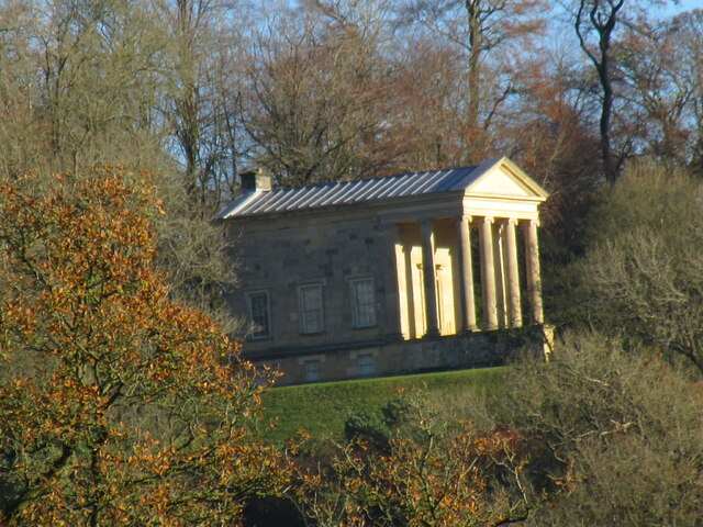
Rievaulx Terrace

Rievaulx Terrace is a site located in the North York Moors National Park, in North Yorkshire, England, overlooking Rievaulx Abbey and owned by the National...

Nearby Amenities

Located within 500m of 54.262597,-1.1321699
Ford: yes
Note: Didn't notice a ford here, but it was dry - when wet I guess it could flow over the bridge
Lat/Long: 54.2612697/-1.1357958
Crabtree Hill
Place: isolated_dwelling
Lat/Long: 54.2636149/-1.1247292
Information: guidepost
Tourism: information
Lat/Long: 54.2620329/-1.1250197
Barrier: cattle_grid
Lat/Long: 54.2642037/-1.1341393
Barrier: stile
Lat/Long: 54.2630339/-1.1267045
The data included in this document is from www.openstreetmap.org. The data is made available under ODbL.

Have you been to Lambert Hag Wood?

Leave your review of Lambert Hag Wood below (or comments, questions and feedback).