Berry Hill
Hill, Mountain in Hampshire Winchester
England
Berry Hill

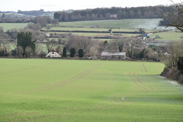
Berry Hill is a small hill located in the county of Hampshire, England. Situated near the village of Swanmore, this hill is part of the South Downs National Park, offering stunning views of the surrounding countryside. With an elevation of approximately 190 meters (623 feet), Berry Hill is not particularly high but is still considered a prominent landmark in the area.
The hill is covered in a mixture of grasslands, heathlands, and woodland, providing a diverse habitat for various plants and wildlife. Visitors to Berry Hill can explore the numerous walking trails that crisscross the area, allowing them to immerse themselves in the natural beauty of the South Downs.
In addition to its natural attractions, Berry Hill also has historical significance. It is believed to have been inhabited since Neolithic times, with evidence of ancient settlements and burial mounds found in the surrounding area. This rich history adds an extra layer of interest for those exploring the hill.
Berry Hill is a popular destination for outdoor enthusiasts and nature lovers. Its location within the South Downs National Park ensures that it is well-maintained and easily accessible to visitors. Whether it's a leisurely walk, a picnic with a view, or birdwatching, Berry Hill offers a tranquil escape from the hustle and bustle of everyday life, allowing visitors to connect with nature and enjoy the picturesque landscapes that Hampshire has to offer.
If you have any feedback on the listing, please let us know in the comments section below.
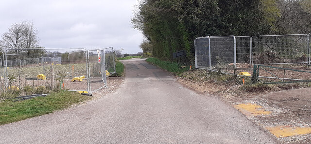
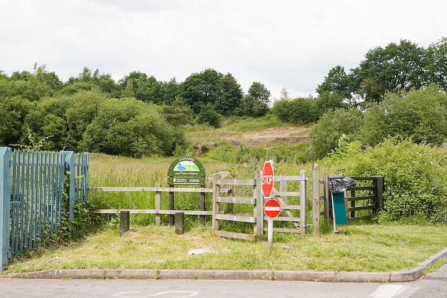
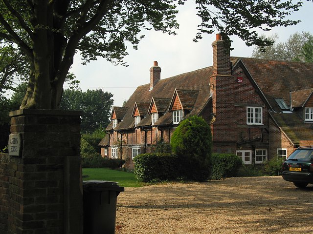
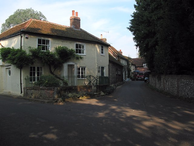
Berry Hill Images
Images are sourced within 2km of 50.977124/-1.2043867 or Grid Reference SU5520. Thanks to Geograph Open Source API. All images are credited.


Berry Hill is located at Grid Ref: SU5520 (Lat: 50.977124, Lng: -1.2043867)
Administrative County: Hampshire
District: Winchester
Police Authority: Hampshire
What 3 Words
///securing.boards.coaching. Near Bishops Waltham, Hampshire
Nearby Locations
Related Wikis

Galley Down Wood
Galley Down Wood is a 16.6-hectare (41-acre) biological Site of Special Scientific Interest north-east of Bishop's Waltham in Hampshire.This wood, which...

Dundridge Meadows
Dundridge Meadows is a 7.5-hectare (19-acre) Local Nature Reserve near Bishop's Waltham in Hampshire. It is owned by Hampshire County Council and managed...
Claylands
Claylands is a 5.8-hectare (14-acre) Local Nature Reserve in Bishop's Waltham in Hampshire. It is owned by Hampshire County Council and managed by Hampshire...
Ashton, Hampshire
Ashton is a village in Hampshire, England. It consists of mainly substantial properties and is situated just inside the boundary for the South Downs National...

Bishop's Waltham
Bishop's Waltham (or Bishops Waltham) is a medieval market town situated at the source of the River Hamble in Hampshire, England. It has a foot in the...
Upham, Hampshire
Upham is a small village and civil parish in the south of England located in Hampshire approximately 7 miles south-east of Winchester . == The village... ==
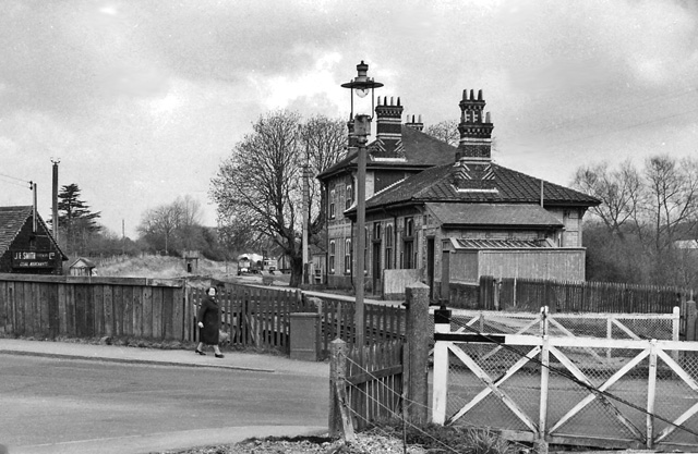
Bishops Waltham railway station
Bishops Waltham railway station was a railway station in Bishop's Waltham, Hampshire, England. The station was the terminus of the 3.75 mile branch line...

Bishop's Waltham Palace
Bishop's Waltham Palace is a moated Bishop's Palace ruin in Bishop's Waltham, Hampshire, England. It is a scheduled ancient monument and a Grade II* listed...
Nearby Amenities
Located within 500m of 50.977124,-1.2043867Have you been to Berry Hill?
Leave your review of Berry Hill below (or comments, questions and feedback).