Askern Hill

Hill, Mountain in Yorkshire

England

Askern Hill

Eden Drive, Askern (1)
Eden Drive, Askern (1) Credit: Richard Vince

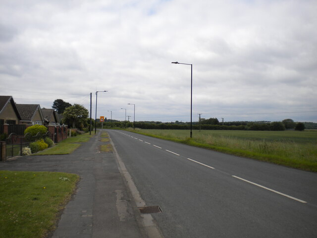
Askern Hill is a prominent geographical feature located in the county of Yorkshire, England. As its name suggests, it is a hill situated in the village of Askern, which lies approximately 9 miles northeast of Doncaster. With an elevation of around 55 meters (180 feet), Askern Hill is not classified as a mountain but rather a modest hill.

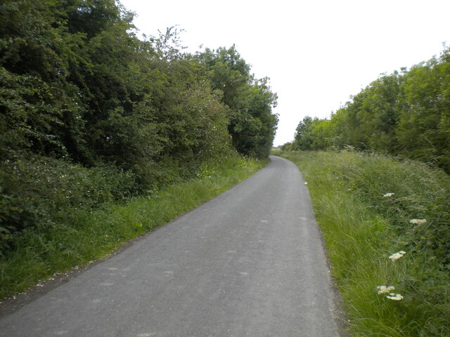
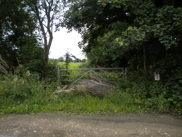
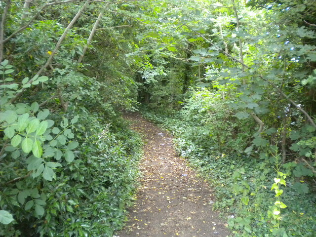
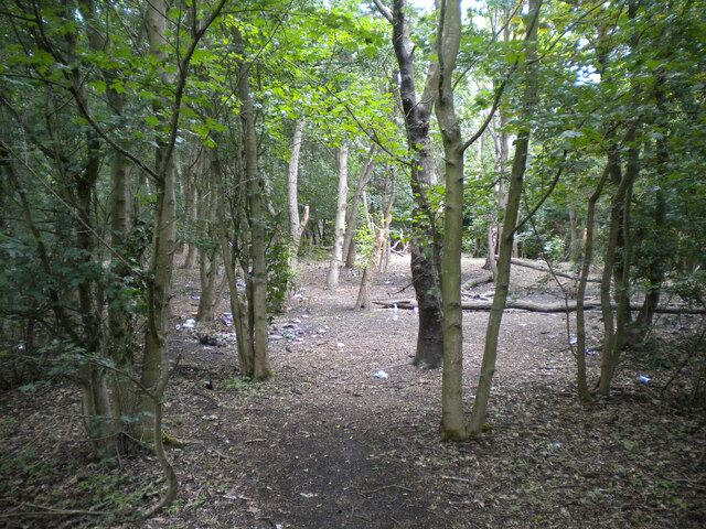
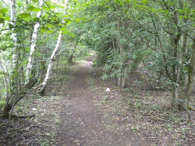
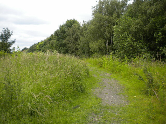
The hill is characterized by its gentle slopes and is primarily covered in grass and low-lying vegetation. It forms part of the wider landscape of the South Yorkshire Coalfield region, which was historically known for its coal mining activity. However, there are no active mining operations on the hill today.

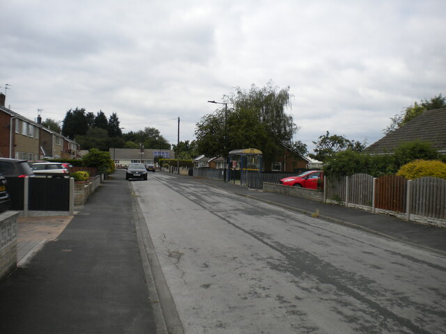
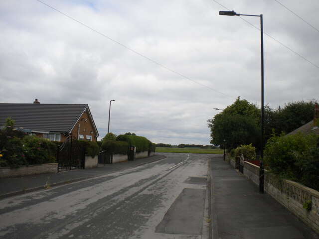
Askern Hill offers picturesque views of the surrounding countryside, including the nearby villages, farmland, and the bustling town of Askern itself. Its location within the Doncaster district makes it easily accessible to both locals and visitors alike.

The hill also serves as a popular recreational spot, attracting hikers, runners, and nature enthusiasts. Its well-maintained footpaths and trails provide opportunities for outdoor activities such as walking and cycling. Additionally, the hill's open fields offer a serene environment for relaxation and picnicking.

Although not particularly challenging in terms of altitude, Askern Hill holds cultural and historical significance for the local community. It represents a natural landmark within the landscape and has become part of the village's identity. With its tranquil ambiance and scenic beauty, Askern Hill continues to be a cherished destination for those seeking a peaceful escape in Yorkshire's countryside.

If you have any feedback on the listing, please let us know in the comments section below.
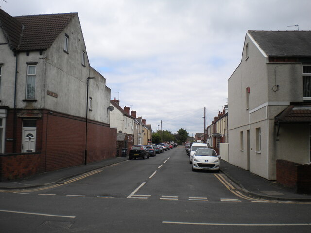
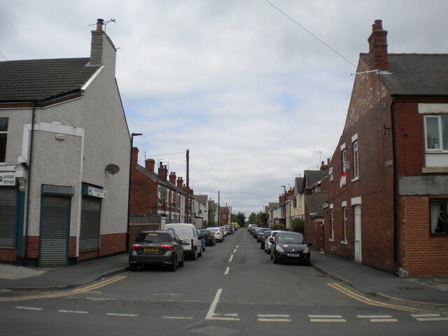
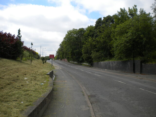
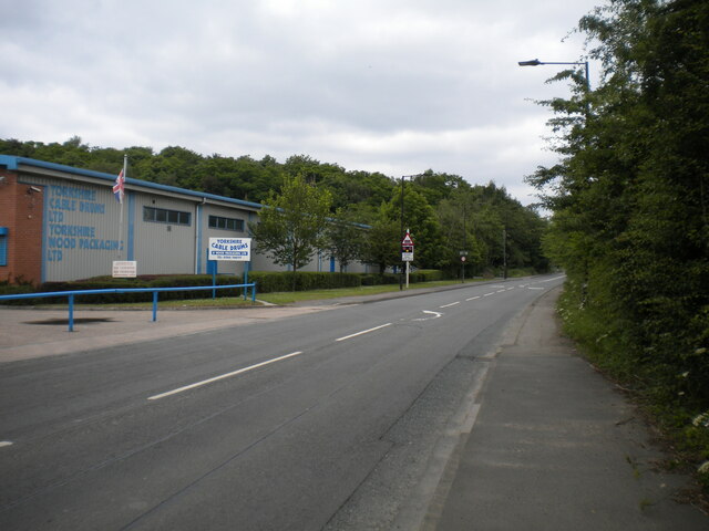
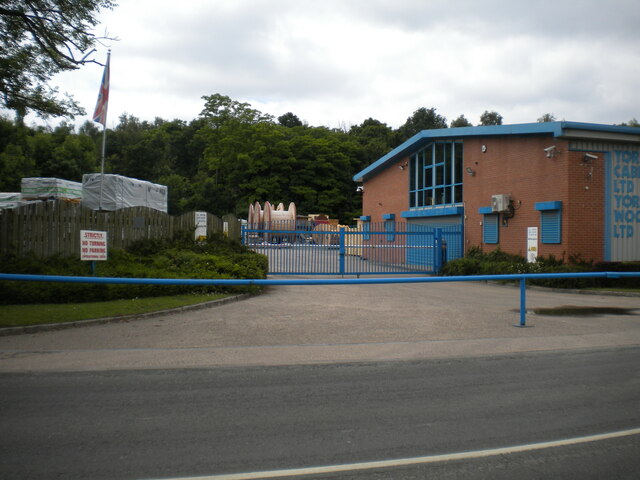
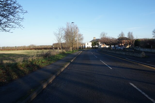
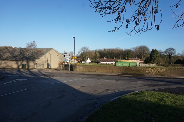
Askern Hill Images

Images are sourced within 2km of 53.615245/-1.159133 or Grid Reference SE5513. Thanks to Geograph Open Source API. All images are credited.

Eden Drive, Askern (1)
Eden Drive, Askern (2) Approaching Moss Road at the eastern extremity of the town.
Eden Drive, Askern (2)
Approaching Moss Road at the eastern extremity of the town.
Fenwick Lane, Askern Heading into farmland to the north east of the town.
Fenwick Lane, Askern
Heading into farmland to the north east of the town.
Obstructed gate off Fenwick Lane, Askern Someone really doesn't want the gate to be opened.
Obstructed gate off Fenwick Lane, Askern
Someone really doesn't want the gate to be opened.
Moss Road entering Askern Separating the houses at the eastern edge of the town (left) from farmland.
Moss Road entering Askern
Separating the houses at the eastern edge of the town (left) from farmland.
Sunnymede Avenue, Askern Off Moss Road.
Sunnymede Avenue, Askern
Off Moss Road.
Queen's Road, Askern Off Moss Road at the eastern edge of the town centre.
Queen's Road, Askern
Off Moss Road at the eastern edge of the town centre.
Campsall Road, Askern
Public footpath off Campsall Road, Askern
Woodland north of Askern Unfortunately playing host to a fair amount of litter.
Woodland north of Askern
Unfortunately playing host to a fair amount of litter.
Footpath through woodland north of Askern Heading towards Norton.
Footpath through woodland north of Askern
Heading towards Norton.
Track north of Askern Threading a course between a solar farm (out of frame to the left) and woodland (right).
Track north of Askern
Threading a course between a solar farm (out of frame to the left) and woodland (right).
Selby Road leaving Askern Passing some industrial premises as it leaves the town.
Selby Road leaving Askern
Passing some industrial premises as it leaves the town.
Entrance to industrial premises, Askern Off Selby Road.
Entrance to industrial premises, Askern
Off Selby Road.
Church Field Road, Campsall
Sutton Road at Bone Lane, Campsall
Campsall Village Hall
"No Road"  and a house at Campsall
"No Road" and a house at Campsall
Show me another place!

Askern Hill is located at Grid Ref: SE5513 (Lat: 53.615245, Lng: -1.159133)

Division: West Riding

Unitary Authority: Doncaster

Police Authority: South Yorkshire

What 3 Words

///badge.quietest.rollover. Near Askern, South Yorkshire

Related Wikis

Norton & Askern (ward)

Norton & Askern—consisting of the town of Askern, Braithwaite, Burghwallis, Campsall, Fenwick, Fishlake, Fosterhouses, Kirk Bramwith, Moss, Norton, Owston...

Askern

Askern () is a town and civil parish within the City of Doncaster, in South Yorkshire, England. It is on the A19 road between Doncaster and Selby. Historically...

Askern railway station

Askern railway station was a station on the Askern branch line of the former Lancashire & Yorkshire Railway between Doncaster and Knottingley. It served...

Askern Miners F.C.

Askern Miners Football Club is a football club based in Askern, Doncaster, South Yorkshire, England. They are currently members of the Doncaster Saturday...

Sutton, South Yorkshire

Sutton is a small village and former civil parish, now in the parish of Norton, in the City of Doncaster in South Yorkshire, England. It lies at approximately...

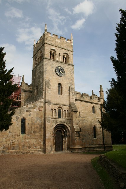
St Mary Magdalene, Campsall

St Mary Magdalene is a parish church in the Church of England in Campsall in South Yorkshire. It is Grade I listed. There is a service every Sunday at...
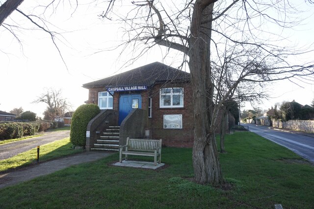
Campsall

Campsall is a village and former civil parish, now in the parish of Norton, in the Doncaster district, in the county of South Yorkshire, England. It lies...

Norton railway station (South Yorkshire)

Norton (South Yorkshire) railway station was a railway station to serve Norton, South Yorkshire, England. It was built by the Wakefield, Pontefract and...

Nearby Amenities

Located within 500m of 53.615245,-1.159133
Askern
Place: town
Wikidata: Q2555402
Wikipedia: en:Askern
Lat/Long: 53.6167934/-1.1531828
Bus Stop
Church Field Road/Askern Cemetery
Alt Name: Church Field Road/Askern Cemetery
Naptan AltCommonName: Church Field Road/Askern Cemetery
Naptan AtcoCode: 370040088
Naptan Bearing: NW
Naptan CommonName: Church Field Road/Askern Cemetery
Naptan Indicator: 40088
Naptan Landmark: Askern Cemetery
Naptan PlusbusZoneRef: ROTHCEN
Naptan Street: Church Field Road
Naptan Verified: no
Source: naptan_import
Lat/Long: 53.6183286/-1.1635759
Bus Stop
Campsall Road
Alt Name: Campsall Road
Naptan AltCommonName: Campsall Road
Naptan AtcoCode: 370040089
Naptan Bearing: W
Naptan CommonName: Campsall Road
Naptan Indicator: 40089
Naptan Landmark: 40089
Naptan PlusbusZoneRef: ROTHCEN
Naptan Street: Campsall Road
Naptan Verified: no
Source: naptan_import
Lat/Long: 53.6191841/-1.1585908
Bus Stop
Church Field Road/Askern Cemetery
Alt Name: Church Field Road/Askern Cemetery
Naptan AltCommonName: Church Field Road/Askern Cemetery
Naptan AtcoCode: 370045250
Naptan Bearing: SE
Naptan CommonName: Church Field Road/Askern Cemetery
Naptan Indicator: 45250
Naptan Landmark: Askern Cemetery
Naptan PlusbusZoneRef: ROTHCEN
Naptan Street: Church Field Road
Naptan Verified: no
Source: naptan_import
Lat/Long: 53.6184907/-1.163618
Campsall Road
Alt Name: Campsall Road
Naptan AltCommonName: Campsall Road
Naptan AtcoCode: 370045909
Naptan Bearing: E
Naptan BusStopType: CUS
Naptan CommonName: Campsall Road
Naptan Indicator: 45909
Naptan Landmark: ASKERN COLLIERY TIP
Naptan PlusbusZoneRef: ROTHCEN
Naptan Street: Campsall Road
Naptan Verified: no
Source: naptan_import
Lat/Long: 53.6192924/-1.158734
Airstone Road/Alfred Road
Alt Name: Airstone Road/Alfred Road
Naptan AltCommonName: Airstone Road/Alfred Road
Naptan AtcoCode: 370046012
Naptan Bearing: SW
Naptan BusStopType: CUS
Naptan CommonName: Airstone Road/Alfred Road
Naptan Indicator: 46012
Naptan Landmark: 46012
Naptan PlusbusZoneRef: ROTHCEN
Naptan Street: Airstone Road
Naptan Verified: no
Source: naptan_import
Lat/Long: 53.6126574/-1.1611031
Bus Stop
Alfred Road/Green Lane
Alt Name: Alfred Road/Green Lane
Naptan AltCommonName: Alfred Road/Green Lane
Naptan AtcoCode: 370041285
Naptan Bearing: NW
Naptan CommonName: Alfred Road/Green Lane
Naptan Indicator: 41285
Naptan Landmark: Streetlight No 04644
Naptan PlusbusZoneRef: ROTHCEN
Naptan Street: Alfred Road
Naptan Verified: no
Source: naptan_import
Lat/Long: 53.61125/-1.1616601
Bus Stop
Avenue Road/Victoria Road
Alt Name: Avenue Road/Victoria Road
Naptan AltCommonName: Avenue Road/Victoria Road
Naptan AtcoCode: 370041287
Naptan Bearing: NW
Naptan CommonName: Avenue Road/Victoria Road
Naptan Indicator: 41287
Naptan Landmark: 41287
Naptan PlusbusZoneRef: ROTHCEN
Naptan Street: Avenue Road
Naptan Verified: no
Source: naptan_import
Lat/Long: 53.6114074/-1.1584675
Bus Stop
Selby Road/Campsall Road
Alt Name: Selby Road/Campsall Road
Naptan AltCommonName: Selby Road/Campsall Road
Naptan AtcoCode: 370045496
Naptan Bearing: N
Naptan CommonName: Selby Road/Campsall Road
Naptan Indicator: 45496
Naptan Landmark: SUPERMARKET
Naptan PlusbusZoneRef: ROTHCEN
Naptan Street: Selby Road
Naptan Verified: no
Source: naptan_import
Lat/Long: 53.6171197/-1.1529928
Bus Stop
Selby Road/Station Road
Alt Name: Selby Road/Station Road
Naptan AltCommonName: Selby Road/Station Road
Naptan AtcoCode: 370045497
Naptan Bearing: S
Naptan CommonName: Selby Road/Station Road
Naptan Indicator: 45497
Naptan Landmark: ST PETERS CHURCH
Naptan PlusbusZoneRef: ROTHCEN
Naptan Street: Selby Road
Naptan Verified: no
Source: naptan_import
Lat/Long: 53.6168766/-1.1526594
High Street/Askern Lane
Alt Name: High Street/Askern Lane
Naptan AltCommonName: High Street/Askern Lane
Naptan AtcoCode: 370045764
Naptan Bearing: N
Naptan BusStopType: CUS
Naptan CommonName: High Street/Askern Lane
Naptan Indicator: 45764
Naptan Landmark: ASKERN SAW MILLS
Naptan PlusbusZoneRef: ROTHCEN
Naptan Street: High Street
Naptan Verified: no
Source: naptan_import
Lat/Long: 53.6134763/-1.1523042
Barrier: cycle_barrier
Bicycle: yes
Foot: yes
Motor Vehicle: no
Lat/Long: 53.6152121/-1.1555021
Instoneville
Is In: South Yorkshire
Place: suburb
Lat/Long: 53.6126507/-1.1601557
Railway: dismantled_colliery
Lat/Long: 53.6124958/-1.1564841
Power: pole
Lat/Long: 53.6155026/-1.1657414
Power: pole
Lat/Long: 53.6162716/-1.1641218
Power: pole
Lat/Long: 53.6169584/-1.1627425
Power: pole
Lat/Long: 53.6172578/-1.1642144
Power: pole
Lat/Long: 53.6174983/-1.1617261
Power: pole
Lat/Long: 53.6176036/-1.1620781
Power: pole
Lat/Long: 53.618192/-1.1606785
Power: pole
Lat/Long: 53.6186951/-1.1605315
Power: pole
Lat/Long: 53.6188178/-1.1599682
Power: pole
Lat/Long: 53.6188368/-1.1597647
Power: pole
Lat/Long: 53.618912/-1.1600779
Fast Food
Diamond City
Addr City: Doncaster
Addr Housenumber: 1
Addr Postcode: DN6 0HY
Addr Street: Market Place
Addr Suburb: Askern
Cuisine: chinese
Source: http://take-a-way.co.uk
Website: https://take-a-way.co.uk/menu/5134/diamond-city-askern/
Lat/Long: 53.6162264/-1.1518684
Turning Circle
Lat/Long: 53.6124434/-1.1536474
Barrier: cycle_barrier
Bicycle: yes
Foot: yes
Motor Vehicle: no
Lat/Long: 53.6145428/-1.1568234
Post Box
Collection Times: Mo-Fr 16:30; Sa 11:30
Operator: Royal Mail
Operator Wikidata: Q638098
Post Box Type: pillar
Ref: DN6 264
Lat/Long: 53.616388/-1.1524042
Pharmacy
Boots
Addr City: Doncaster
Addr Country: GB
Addr Parentstreet: Selby Road
Addr Postcode: DN6 0HY
Addr Street: Market Place
Addr Suburb: Askern
Brand: Boots
Brand Wikidata: Q6123139
Dispensing: yes
Fhrs Id: 368066
Healthcare: pharmacy
Website: https://www.boots.com/stores/5917-donc-askern-church-dn6-0ph
Lat/Long: 53.6164795/-1.152364
Post Office
Askern Post Office
Addr City: Doncaster
Addr Country: GB
Addr Postcode: DN6 0HY
Addr Street: Market Place
Addr Suburb: Askern
Branch: Askern
Brand: Post Office
Brand Wikidata: Q1783168
Check Date: 2022-05-27
Contact Website: https://www.postoffice.co.uk/branch-finder/1543113/askern
Opening Hours: Mo 09:00-17:30; Tu,Th 09:00-14:00; We 09:00-12:30,13:00-17:00; Fr 09:00-12:30,13:00-17:30
Ref Pol Id: 3131
Lat/Long: 53.6164229/-1.1523371
Telephone
Booth: KX100
Covered: booth
Lat/Long: 53.6161684/-1.1519603
Crossing
Crossing: traffic_signals
Crossing Ref: pelican
Lat/Long: 53.6164647/-1.1525835
Man Made: mast
Lat/Long: 53.6152877/-1.1542193
Power: pole
Lat/Long: 53.6187033/-1.1602668
Generator Method: photovoltaic
Generator Output Electricity: yes
Generator Source: solar
Generator Type: solar_photovoltaic_panel
Location: roof
Power: generator
Lat/Long: 53.6126739/-1.1642319
Generator Method: photovoltaic
Generator Output Electricity: yes
Generator Source: solar
Generator Type: solar_photovoltaic_panel
Location: roof
Power: generator
Lat/Long: 53.6135553/-1.1655723
Generator Method: photovoltaic
Generator Output Electricity: yes
Generator Source: solar
Generator Type: solar_photovoltaic_panel
Location: roof
Power: generator
Lat/Long: 53.6143582/-1.1650366
Generator Method: photovoltaic
Generator Output Electricity: yes
Generator Source: solar
Generator Type: solar_photovoltaic_panel
Location: roof
Power: generator
Lat/Long: 53.6143073/-1.1638698
Generator Method: photovoltaic
Generator Output Electricity: yes
Generator Source: solar
Generator Type: solar_photovoltaic_panel
Location: roof
Power: generator
Lat/Long: 53.6139682/-1.1635513
Generator Method: photovoltaic
Generator Output Electricity: yes
Generator Source: solar
Generator Type: solar_photovoltaic_panel
Location: roof
Power: generator
Lat/Long: 53.6139825/-1.1634654
Generator Method: photovoltaic
Generator Output Electricity: yes
Generator Source: solar
Generator Type: solar_photovoltaic_panel
Location: roof
Power: generator
Lat/Long: 53.6140263/-1.1633568
Generator Method: photovoltaic
Generator Output Electricity: yes
Generator Source: solar
Generator Type: solar_photovoltaic_panel
Location: roof
Power: generator
Lat/Long: 53.6140446/-1.1632643
Generator Method: photovoltaic
Generator Output Electricity: yes
Generator Source: solar
Generator Type: solar_photovoltaic_panel
Location: roof
Power: generator
Lat/Long: 53.6140861/-1.1631496
Generator Method: photovoltaic
Generator Output Electricity: yes
Generator Source: solar
Generator Type: solar_photovoltaic_panel
Location: roof
Power: generator
Lat/Long: 53.6140956/-1.1630423
Generator Method: photovoltaic
Generator Output Electricity: yes
Generator Source: solar
Generator Type: solar_photovoltaic_panel
Location: roof
Power: generator
Lat/Long: 53.6141561/-1.1628465
Generator Method: photovoltaic
Generator Output Electricity: yes
Generator Source: solar
Generator Type: solar_photovoltaic_panel
Location: roof
Power: generator
Lat/Long: 53.614137/-1.1629458
Generator Method: photovoltaic
Generator Output Electricity: yes
Generator Source: solar
Generator Type: solar_photovoltaic_panel
Location: roof
Power: generator
Lat/Long: 53.6142102/-1.1627527
Generator Method: photovoltaic
Generator Output Electricity: yes
Generator Source: solar
Generator Type: solar_photovoltaic_panel
Location: roof
Power: generator
Lat/Long: 53.6142388/-1.1626105
Generator Method: photovoltaic
Generator Output Electricity: yes
Generator Source: solar
Generator Type: solar_photovoltaic_panel
Location: roof
Power: generator
Lat/Long: 53.6180806/-1.1543687
Generator Method: photovoltaic
Generator Output Electricity: yes
Generator Source: solar
Generator Type: solar_photovoltaic_panel
Location: roof
Power: generator
Lat/Long: 53.6150694/-1.1619319
Generator Method: photovoltaic
Generator Output Electricity: yes
Generator Source: solar
Generator Type: solar_photovoltaic_panel
Location: roof
Power: generator
Lat/Long: 53.615044/-1.1618809
Generator Method: photovoltaic
Generator Output Electricity: yes
Generator Source: solar
Generator Type: solar_photovoltaic_panel
Location: roof
Power: generator
Lat/Long: 53.613973/-1.1619795
Generator Method: photovoltaic
Generator Output Electricity: yes
Generator Source: solar
Generator Type: solar_photovoltaic_panel
Location: roof
Power: generator
Lat/Long: 53.6139905/-1.1620251
Fast Food
China Wok
Cuisine: chinese
Lat/Long: 53.6164816/-1.1528939
Spirals
Fixme: Check name
Shop: hairdresser
Survey Date: 2021-04
Lat/Long: 53.6163082/-1.1522435
Cafe
Bel Sol
Contact Facebook: https://www.facebook.com/people/Bel-Sol-Askern/100063586602827/
Cuisine: mediterranean
Survey Date: 2021-04
Lat/Long: 53.616336/-1.1522877
Yorkshire Travel
Shop: travel_agency
Survey Date: 2021-04
Lat/Long: 53.6162119/-1.1517687
design dpi
Addr City: Doncaster
Addr Housename: Data House
Addr Housenumber: 15
Addr Postcode: DN6 0QT
Addr Street: Swan Court
Addr Suburb: Askern
Check Date: 2023-04-24
Check Date Currency XBT: 2024-03-08
Currency XBT: yes
Office: advertising_agency
Opening Hours: Mo-Fr 10:00-19:00
Payment Lightning: yes
Payment Lightning Contactless: yes
Payment Onchain: yes
Phone: +44 1302 513515
Website: https://www.designdpi.com/
Lat/Long: 53.61599/-1.1523911
The data included in this document is from www.openstreetmap.org. The data is made available under ODbL.

Have you been to Askern Hill?

Leave your review of Askern Hill below (or comments, questions and feedback).