Askern Field

Downs, Moorland in Yorkshire

England

Askern Field

Sunnymede Avenue, Askern Off Moss Road.
Sunnymede Avenue, Askern Credit: Richard Vince

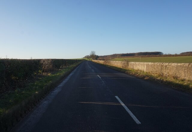
Askern Field is a picturesque area located in Yorkshire, England. Nestled between the charming Yorkshire Downs and the vast Moorland, this region offers an idyllic rural setting for nature lovers and outdoor enthusiasts.

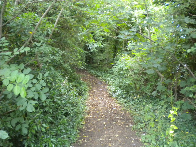
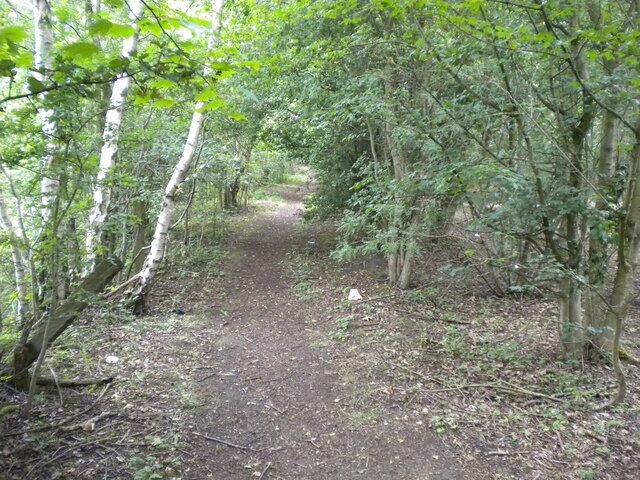
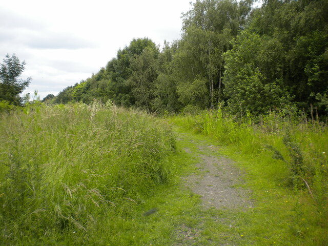
The Downs of Yorkshire, characterized by rolling hills and green pastures, provide a stunning backdrop to Askern Field. The area is known for its vibrant wildlife, including various species of birds, small mammals, and insects. Visitors can enjoy leisurely walks or hikes along well-maintained trails, offering breathtaking panoramic views of the surrounding countryside.

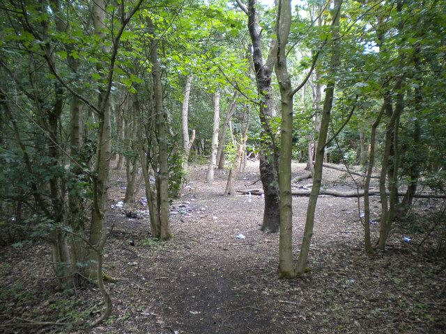
Adjacent to the Downs, Askern Field seamlessly transitions into the Moorland. This vast expanse of open moorland is known for its rugged beauty and unique flora and fauna. The moorland is home to heather-covered hills, rocky outcrops, and numerous streams and ponds. It is an ideal location for birdwatching, with species such as red grouse, curlew, and golden plover frequently spotted in the area.

Askern Field also offers a range of recreational activities for visitors. The region is a popular destination for cycling and horse riding, with designated paths and bridleways that allow visitors to explore the countryside at their own pace. Additionally, fishing enthusiasts can enjoy angling in the nearby rivers and lakes, which are known for their abundance of trout and salmon.

The local community takes great pride in preserving the natural beauty of Askern Field. Efforts have been made to maintain the ecological balance and protect the diverse wildlife in the region. As a result, visitors can experience a tranquil and unspoiled environment, making Askern Field a haven for nature enthusiasts seeking a peaceful escape.

If you have any feedback on the listing, please let us know in the comments section below.
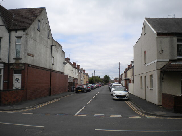
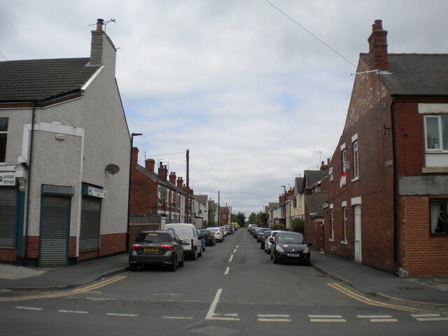
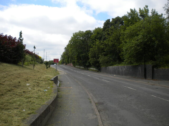
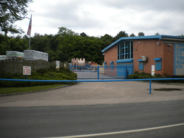
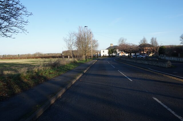
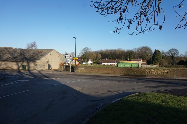
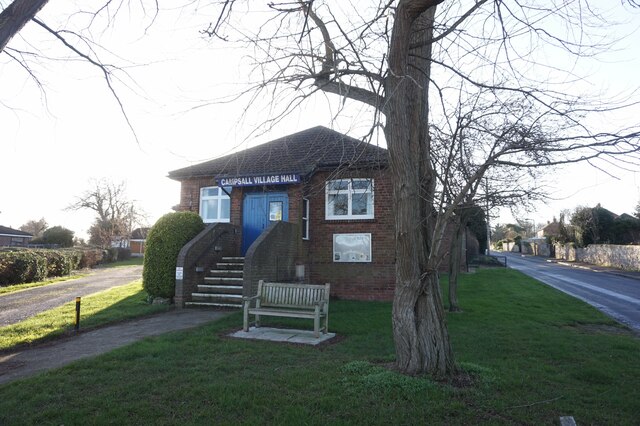
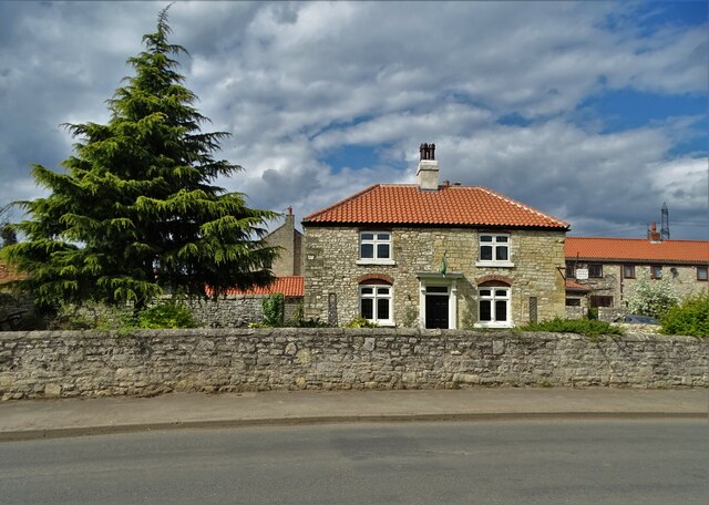
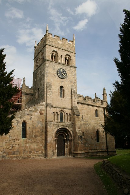
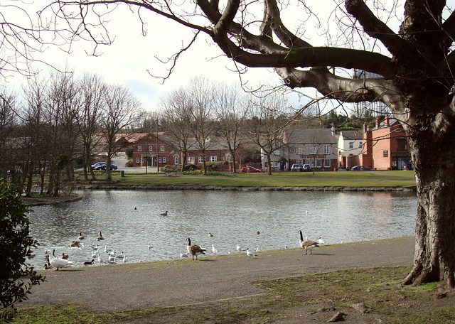
Askern Field Images

Images are sourced within 2km of 53.61524/-1.1661018 or Grid Reference SE5513. Thanks to Geograph Open Source API. All images are credited.

Sunnymede Avenue, Askern Off Moss Road.
Sunnymede Avenue, Askern
Off Moss Road.
Queen's Road, Askern Off Moss Road at the eastern edge of the town centre.
Queen's Road, Askern
Off Moss Road at the eastern edge of the town centre.
Campsall Road, Askern
Public footpath off Campsall Road, Askern
Woodland north of Askern Unfortunately playing host to a fair amount of litter.
Woodland north of Askern
Unfortunately playing host to a fair amount of litter.
Footpath through woodland north of Askern Heading towards Norton.
Footpath through woodland north of Askern
Heading towards Norton.
Track north of Askern Threading a course between a solar farm (out of frame to the left) and woodland (right).
Track north of Askern
Threading a course between a solar farm (out of frame to the left) and woodland (right).
Selby Road leaving Askern Passing some industrial premises as it leaves the town.
Selby Road leaving Askern
Passing some industrial premises as it leaves the town.
Entrance to industrial premises, Askern Off Selby Road.
Entrance to industrial premises, Askern
Off Selby Road.
Church Field Road, Campsall
Sutton Road at Bone Lane, Campsall
Campsall Village Hall
New Road towards the A1 at Barnsdale Bar
"No Road"  and a house at Campsall
"No Road" and a house at Campsall
Church of St Mary Magdalene at Campsall Grade I listed village church with evidence of evolving construction work over a thousand years.
Church of St Mary Magdalene at Campsall
Grade I listed village church with evidence of evolving construction work over a thousand years.
West door at Campsall Parish church I understand that it dates back to the twelfth century. The Grade I listed church is dedicated to St Mary Magdalene.
West door at Campsall Parish church
I understand that it dates back to the twelfth century. The Grade I listed church is dedicated to St Mary Magdalene.
Campsall Church (Grade I listed) Dedicated to St Mary Magdalene
Campsall Church (Grade I listed)
Dedicated to St Mary Magdalene
Manor Farm House, Sutton
Show me another place!

Askern Field is located at Grid Ref: SE5513 (Lat: 53.61524, Lng: -1.1661018)

Division: West Riding

Unitary Authority: Doncaster

Police Authority: South Yorkshire

What 3 Words

///cornering.princes.snuck. Near Campsall, South Yorkshire

Related Wikis

Norton & Askern (ward)

Norton & Askern—consisting of the town of Askern, Braithwaite, Burghwallis, Campsall, Fenwick, Fishlake, Fosterhouses, Kirk Bramwith, Moss, Norton, Owston...

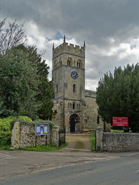
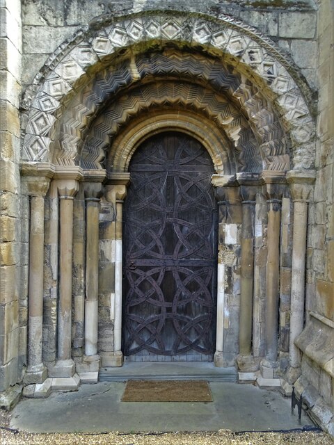
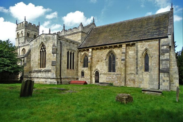
St Mary Magdalene, Campsall

St Mary Magdalene is a parish church in the Church of England in Campsall in South Yorkshire. It is Grade I listed. There is a service every Sunday at...

Askern Miners F.C.

Askern Miners Football Club is a football club based in Askern, Doncaster, South Yorkshire, England. They are currently members of the Doncaster Saturday...

Askern

Askern () is a town and civil parish within the City of Doncaster, in South Yorkshire, England. It is on the A19 road between Doncaster and Selby. Historically...

Campsall

Campsall is a village and former civil parish, now in the parish of Norton, in the Doncaster district, in the county of South Yorkshire, England. It lies...

Askern railway station

Askern railway station was a station on the Askern branch line of the former Lancashire & Yorkshire Railway between Doncaster and Knottingley. It served...

Sutton, South Yorkshire

Sutton is a small village and former civil parish, now in the parish of Norton, in the City of Doncaster in South Yorkshire, England. It lies at approximately...

Campsmount Academy

Campsmount Academy is a coeducational secondary school and sixth form located in Norton, South Yorkshire, England. Originally known as Campsmount School...

Nearby Amenities

Located within 500m of 53.61524,-1.1661018
Bus Stop
Church Field Road/Askern Cemetery
Alt Name: Church Field Road/Askern Cemetery
Naptan AltCommonName: Church Field Road/Askern Cemetery
Naptan AtcoCode: 370040088
Naptan Bearing: NW
Naptan CommonName: Church Field Road/Askern Cemetery
Naptan Indicator: 40088
Naptan Landmark: Askern Cemetery
Naptan PlusbusZoneRef: ROTHCEN
Naptan Street: Church Field Road
Naptan Verified: no
Source: naptan_import
Lat/Long: 53.6183286/-1.1635759
Bus Stop
Church Field Road/Askern Cemetery
Alt Name: Church Field Road/Askern Cemetery
Naptan AltCommonName: Church Field Road/Askern Cemetery
Naptan AtcoCode: 370045250
Naptan Bearing: SE
Naptan CommonName: Church Field Road/Askern Cemetery
Naptan Indicator: 45250
Naptan Landmark: Askern Cemetery
Naptan PlusbusZoneRef: ROTHCEN
Naptan Street: Church Field Road
Naptan Verified: no
Source: naptan_import
Lat/Long: 53.6184907/-1.163618
Airstone Road/Alfred Road
Alt Name: Airstone Road/Alfred Road
Naptan AltCommonName: Airstone Road/Alfred Road
Naptan AtcoCode: 370046012
Naptan Bearing: SW
Naptan BusStopType: CUS
Naptan CommonName: Airstone Road/Alfred Road
Naptan Indicator: 46012
Naptan Landmark: 46012
Naptan PlusbusZoneRef: ROTHCEN
Naptan Street: Airstone Road
Naptan Verified: no
Source: naptan_import
Lat/Long: 53.6126574/-1.1611031
Instoneville
Is In: South Yorkshire
Place: suburb
Lat/Long: 53.6126507/-1.1601557
Power: pole
Lat/Long: 53.6115604/-1.167785
Power: pole
Lat/Long: 53.6124274/-1.1673019
Power: pole
Lat/Long: 53.6138688/-1.1665561
Power: pole
Lat/Long: 53.6153769/-1.172291
Power: pole
Lat/Long: 53.6155026/-1.1657414
Power: pole
Lat/Long: 53.6161289/-1.17092
Power: pole
Lat/Long: 53.6162716/-1.1641218
Power: pole
Lat/Long: 53.6165138/-1.1685798
Power: pole
Lat/Long: 53.6168874/-1.166389
Power: pole
Lat/Long: 53.6169584/-1.1627425
Power: pole
Lat/Long: 53.6172578/-1.1642144
Power: pole
Lat/Long: 53.6174983/-1.1617261
Power: pole
Lat/Long: 53.6176036/-1.1620781
Power: pole
Lat/Long: 53.618192/-1.1606785
Generator Method: photovoltaic
Generator Output Electricity: yes
Generator Source: solar
Generator Type: solar_photovoltaic_panel
Location: roof
Power: generator
Lat/Long: 53.6126739/-1.1642319
Generator Method: photovoltaic
Generator Output Electricity: yes
Generator Source: solar
Generator Type: solar_photovoltaic_panel
Location: roof
Power: generator
Lat/Long: 53.6135553/-1.1655723
Generator Method: photovoltaic
Generator Output Electricity: yes
Generator Source: solar
Generator Type: solar_photovoltaic_panel
Location: roof
Power: generator
Lat/Long: 53.6143582/-1.1650366
Generator Method: photovoltaic
Generator Output Electricity: yes
Generator Source: solar
Generator Type: solar_photovoltaic_panel
Location: roof
Power: generator
Lat/Long: 53.6143073/-1.1638698
Generator Method: photovoltaic
Generator Output Electricity: yes
Generator Source: solar
Generator Type: solar_photovoltaic_panel
Location: roof
Power: generator
Lat/Long: 53.6139682/-1.1635513
Generator Method: photovoltaic
Generator Output Electricity: yes
Generator Source: solar
Generator Type: solar_photovoltaic_panel
Location: roof
Power: generator
Lat/Long: 53.6139825/-1.1634654
Generator Method: photovoltaic
Generator Output Electricity: yes
Generator Source: solar
Generator Type: solar_photovoltaic_panel
Location: roof
Power: generator
Lat/Long: 53.6140263/-1.1633568
Generator Method: photovoltaic
Generator Output Electricity: yes
Generator Source: solar
Generator Type: solar_photovoltaic_panel
Location: roof
Power: generator
Lat/Long: 53.6140446/-1.1632643
Generator Method: photovoltaic
Generator Output Electricity: yes
Generator Source: solar
Generator Type: solar_photovoltaic_panel
Location: roof
Power: generator
Lat/Long: 53.6140861/-1.1631496
Generator Method: photovoltaic
Generator Output Electricity: yes
Generator Source: solar
Generator Type: solar_photovoltaic_panel
Location: roof
Power: generator
Lat/Long: 53.6140956/-1.1630423
Generator Method: photovoltaic
Generator Output Electricity: yes
Generator Source: solar
Generator Type: solar_photovoltaic_panel
Location: roof
Power: generator
Lat/Long: 53.6141561/-1.1628465
Generator Method: photovoltaic
Generator Output Electricity: yes
Generator Source: solar
Generator Type: solar_photovoltaic_panel
Location: roof
Power: generator
Lat/Long: 53.614137/-1.1629458
Generator Method: photovoltaic
Generator Output Electricity: yes
Generator Source: solar
Generator Type: solar_photovoltaic_panel
Location: roof
Power: generator
Lat/Long: 53.6142102/-1.1627527
Generator Method: photovoltaic
Generator Output Electricity: yes
Generator Source: solar
Generator Type: solar_photovoltaic_panel
Location: roof
Power: generator
Lat/Long: 53.6142388/-1.1626105
Generator Method: photovoltaic
Generator Output Electricity: yes
Generator Source: solar
Generator Type: solar_photovoltaic_panel
Location: roof
Power: generator
Lat/Long: 53.6150694/-1.1619319
Generator Method: photovoltaic
Generator Output Electricity: yes
Generator Source: solar
Generator Type: solar_photovoltaic_panel
Location: roof
Power: generator
Lat/Long: 53.615044/-1.1618809
Generator Method: photovoltaic
Generator Output Electricity: yes
Generator Source: solar
Generator Type: solar_photovoltaic_panel
Location: roof
Power: generator
Lat/Long: 53.613973/-1.1619795
Generator Method: photovoltaic
Generator Output Electricity: yes
Generator Source: solar
Generator Type: solar_photovoltaic_panel
Location: roof
Power: generator
Lat/Long: 53.6139905/-1.1620251
The data included in this document is from www.openstreetmap.org. The data is made available under ODbL.

Have you been to Askern Field?

Leave your review of Askern Field below (or comments, questions and feedback).