Poor's Land
Downs, Moorland in Yorkshire Hambleton
England
Poor's Land
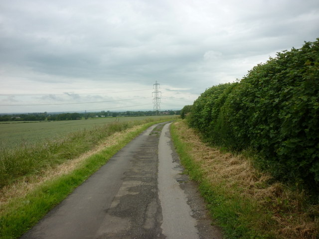
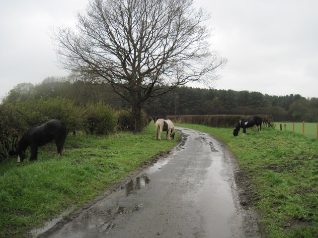
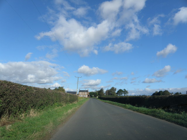
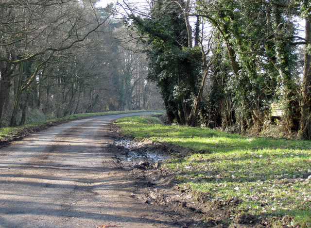
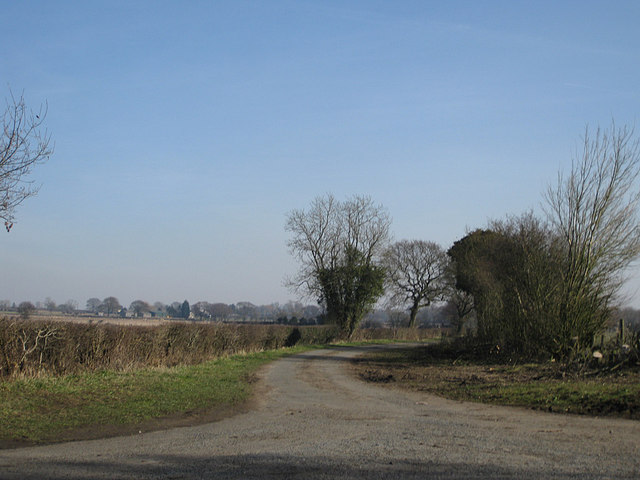
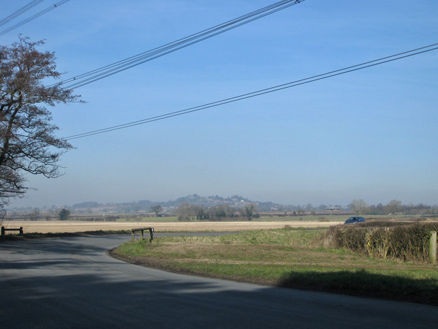
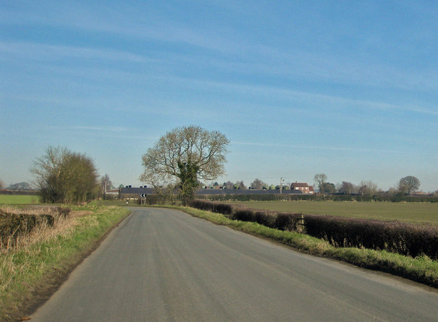
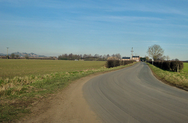
Poor's Land is a picturesque region located in Yorkshire, England, encompassing both the Downs and Moorland. With its diverse landscape and natural beauty, it is a popular destination for nature enthusiasts and outdoor adventurers alike.
The Downs portion of Poor's Land is characterized by rolling hills and expansive meadows, offering breathtaking views of the surrounding countryside. Visitors can enjoy leisurely walks or engage in activities such as horseback riding and picnicking in the open fields. The area is also home to an array of wildlife, including various bird species and small mammals.
Moving towards the Moorland section, the landscape transforms into vast stretches of heather-covered moors. This rugged terrain provides a unique experience for hikers and nature lovers, with its challenging trails and panoramic vistas. The Moorland is renowned for its rich biodiversity, hosting a range of plant species, such as bilberry and cotton grass, as well as a variety of birds, including grouse and curlews.
Both the Downs and Moorland regions of Poor's Land offer visitors an opportunity to immerse themselves in the tranquil beauty of the Yorkshire countryside. Whether exploring the peaceful meadows or conquering the rocky moors, nature enthusiasts are rewarded with breathtaking scenery and a chance to connect with the natural world. With its untouched landscapes and abundant wildlife, Poor's Land is truly a haven for those seeking an escape from the hustle and bustle of everyday life.
If you have any feedback on the listing, please let us know in the comments section below.
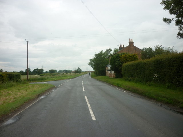
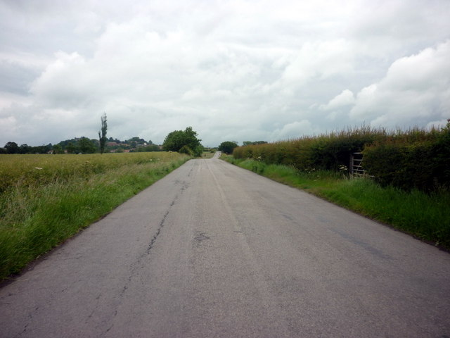
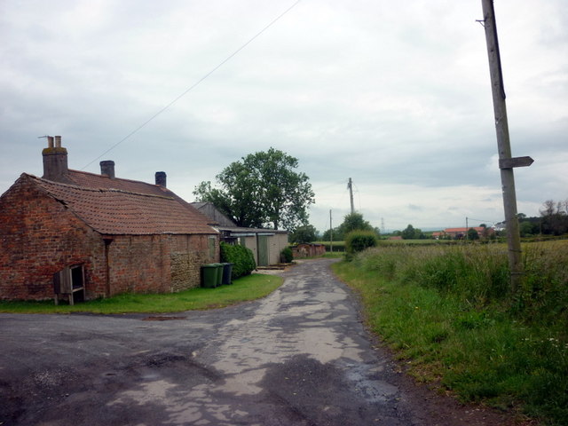
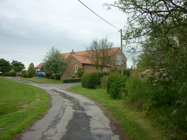
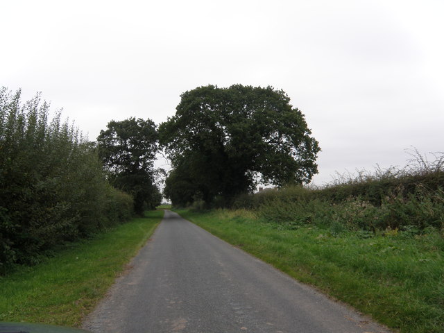
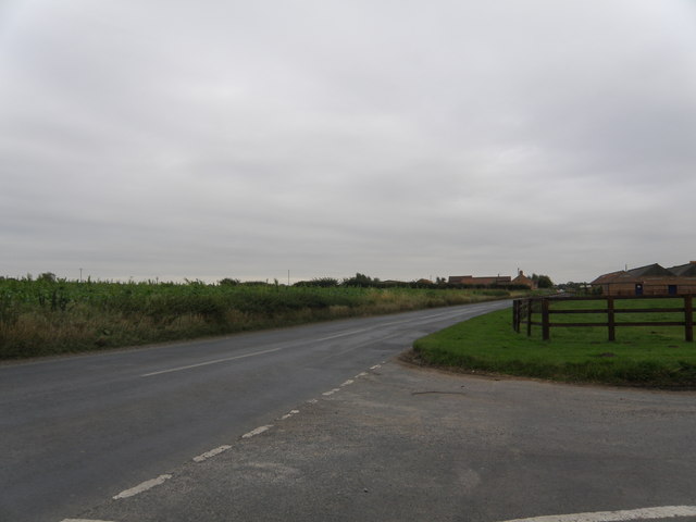
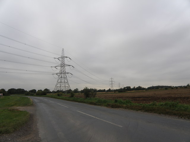
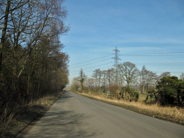
Poor's Land Images
Images are sourced within 2km of 54.113447/-1.1562905 or Grid Reference SE5568. Thanks to Geograph Open Source API. All images are credited.

Poor's Land is located at Grid Ref: SE5568 (Lat: 54.113447, Lng: -1.1562905)
Division: North Riding
Administrative County: North Yorkshire
District: Hambleton
Police Authority: North Yorkshire
What 3 Words
///flukes.nuzzling.overpower. Near Easingwold, North Yorkshire
Nearby Locations
Related Wikis

Crayke Castle
Crayke Castle is a Grade I listed 15th-century castle in Crayke, North Yorkshire, England. The castle consists of a restored 15th-century four-storey tower...

St Cuthbert's Church, Crayke
St Cuthbert's Church is in the village of Crayke, North Yorkshire, England. It is an active Anglican parish church in the deanery of Easingwold, the archdeaconry...

Crayke
Crayke is a village and civil parish in North Yorkshire, England, about 2 miles (3.2 km) east of Easingwold. == Etymology == The name Crayke is of Brittonic...

Emergency Planning College
The Emergency Planning College also known as "the Hawkhills" foremost a college, based in the United Kingdom which is involved in activities to promote...
Outwood Academy Easingwold
Outwood Academy Easingwold is a mixed 11–18 secondary school with academy status in Easingwold, North Yorkshire, England. It had 663 pupils in 2023, including...
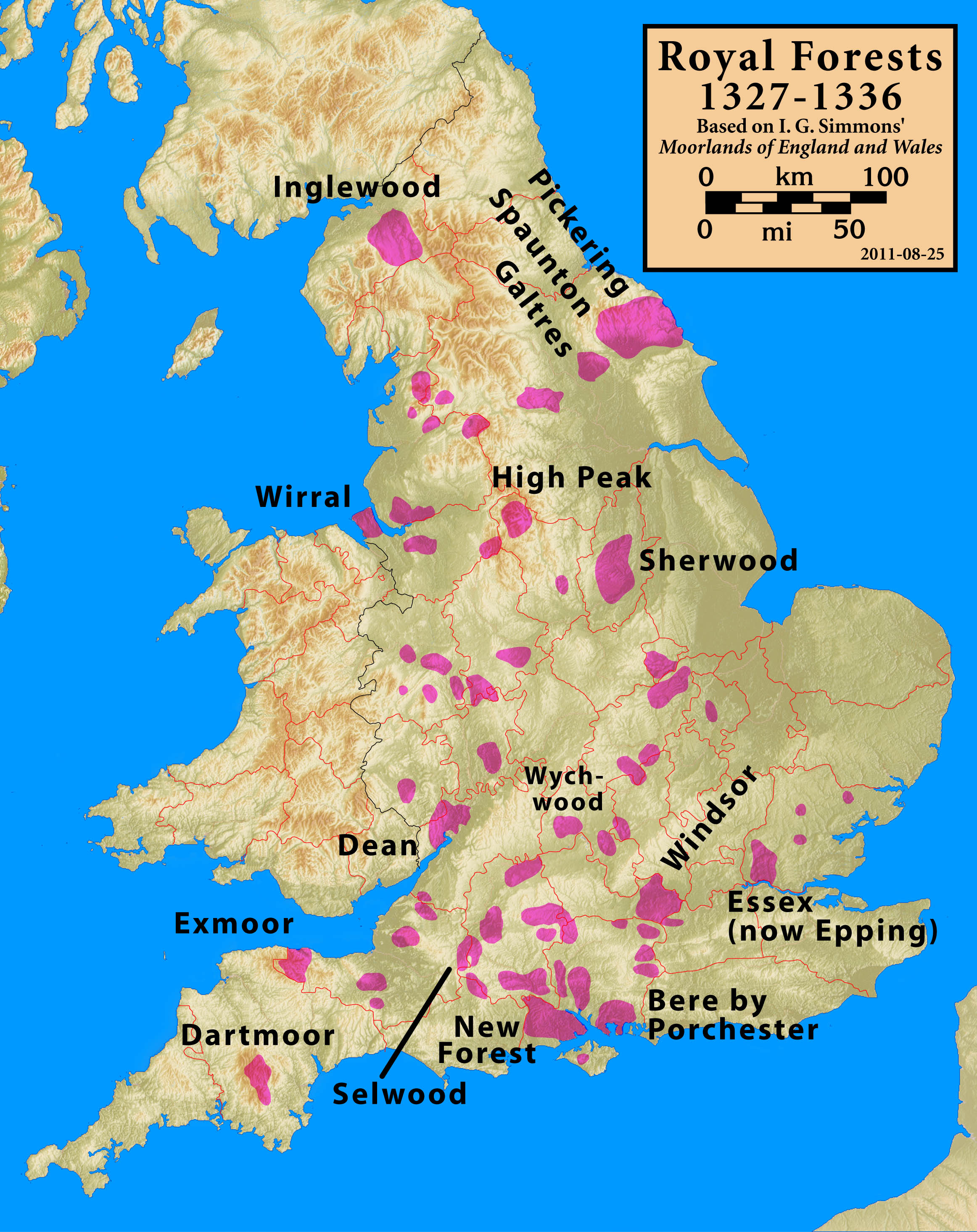
Forest of Galtres
The royal Forest of Galtres was established by the Norman kings of England in North Yorkshire, to the north of the Ancient City of York, extending right...
Easingwold
Easingwold is a market town and civil parish in North Yorkshire, England. Historically, part of the North Riding of Yorkshire, it had a population of 4...

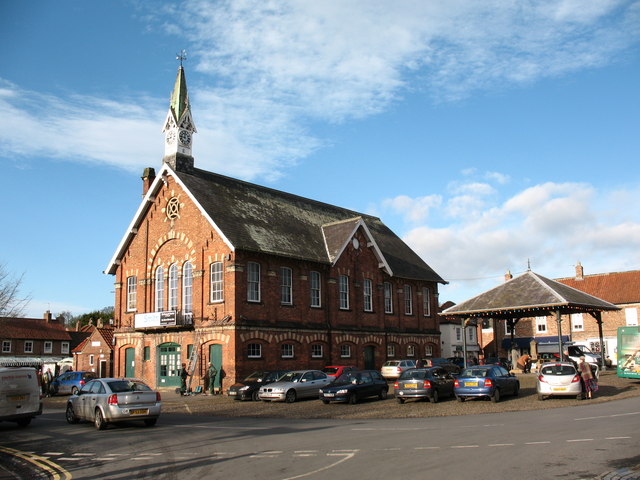
Easingwold Town Hall
Easingwold Town Hall is a municipal building in the Market Place in Easingwold, North Yorkshire, England. The structure was used as an events venue and...
Nearby Amenities
Located within 500m of 54.113447,-1.1562905Have you been to Poor's Land?
Leave your review of Poor's Land below (or comments, questions and feedback).