West Moor
Downs, Moorland in Yorkshire Hambleton
England
West Moor
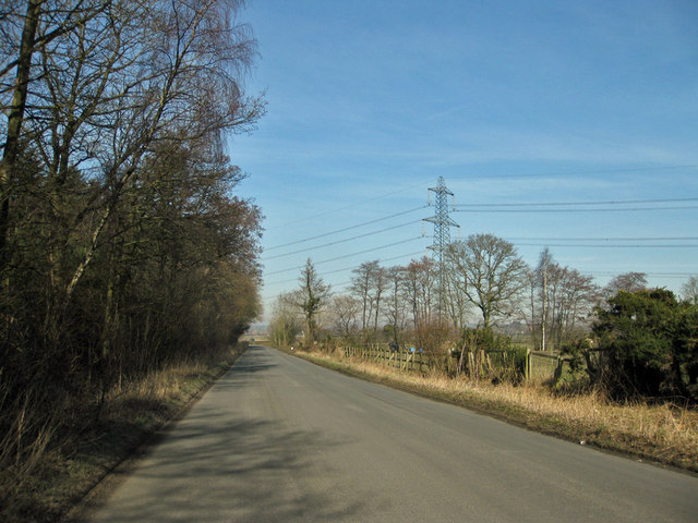
West Moor, Yorkshire is a picturesque region located in the northern part of England. Nestled in the heart of Yorkshire, it is renowned for its breathtaking landscapes, featuring a combination of downs and moorland. With its rolling hills and vast open spaces, West Moor offers a tranquil escape from the hustle and bustle of city life.
The downs in West Moor are characterized by their gently sloping hills and fertile soil, making them ideal for agriculture. The area is dotted with charming farms and fields, where locals cultivate a variety of crops, including wheat, barley, and potatoes. These downs not only provide a scenic backdrop but also contribute to the region's agricultural economy.
In contrast, the moorland in West Moor is known for its rugged and wild beauty. Covered in heather and gorse, the moors stretch as far as the eye can see, creating a sense of vastness and solitude. It is a haven for nature lovers and outdoor enthusiasts, offering numerous walking and hiking trails. Visitors can explore the moorland, immersing themselves in the raw, untouched beauty of the landscape.
West Moor is also home to a diverse range of wildlife. The moorland is teeming with various species, including red grouse, curlews, and golden plovers. Additionally, the downs provide habitats for numerous bird species, making it a popular destination for birdwatching enthusiasts.
Overall, West Moor, Yorkshire, offers a harmonious blend of downs and moorland, creating an idyllic setting for those seeking natural beauty and tranquility. Whether it's exploring the rolling hills of the downs or venturing into the untamed wilderness of the moorland, visitors are sure to be captivated by the charm and serenity of this remarkable region.
If you have any feedback on the listing, please let us know in the comments section below.
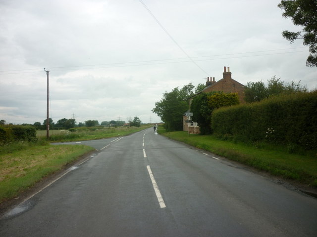
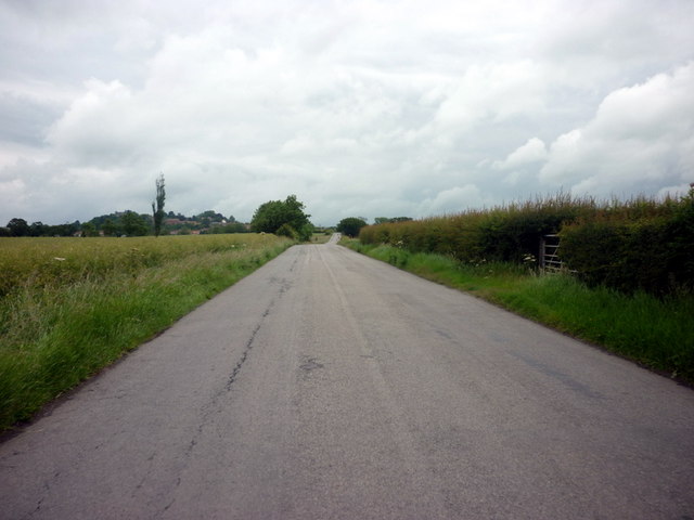
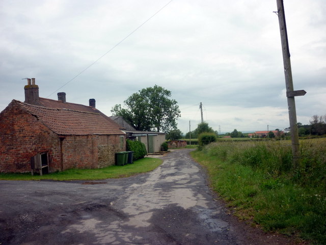
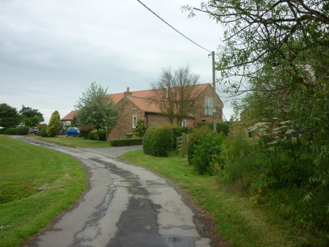
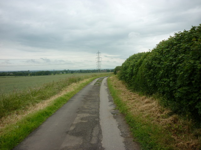
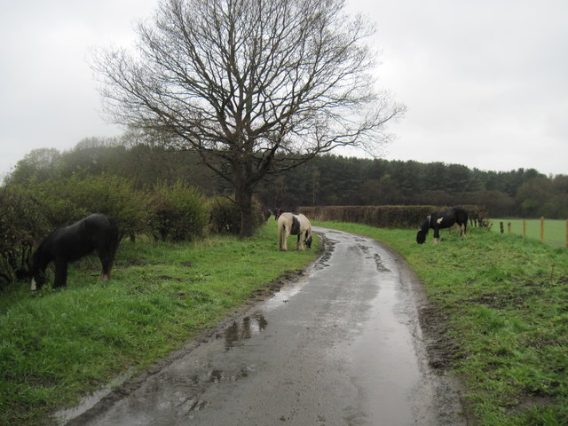
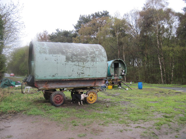
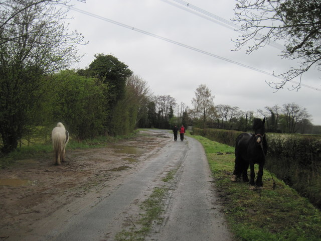
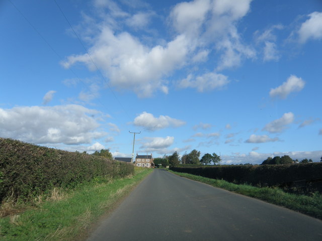
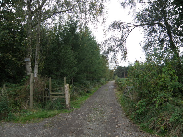
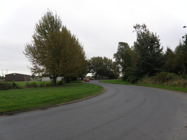
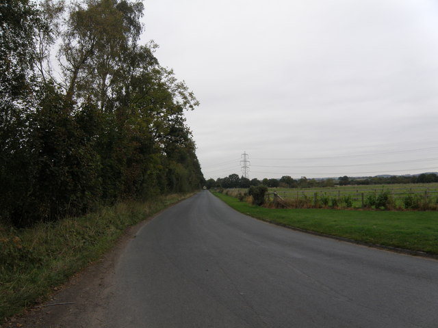
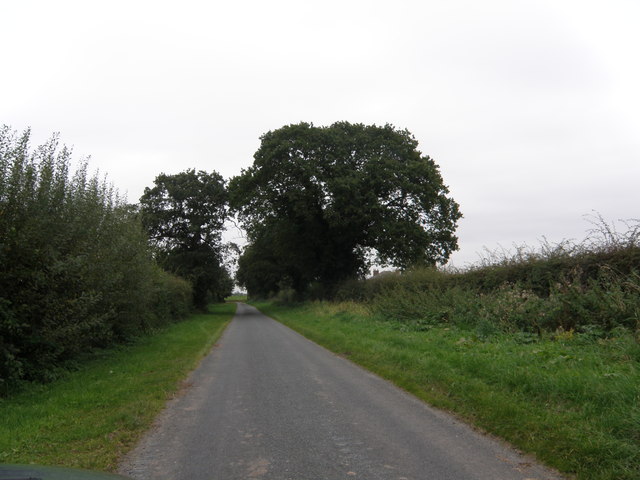
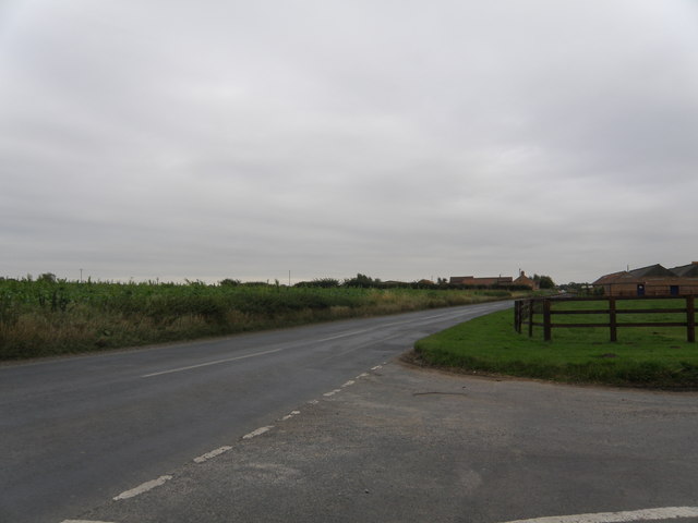
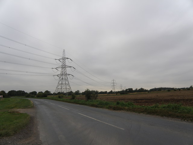
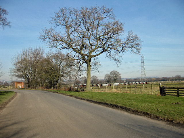
West Moor Images
Images are sourced within 2km of 54.10862/-1.1561285 or Grid Reference SE5568. Thanks to Geograph Open Source API. All images are credited.

West Moor is located at Grid Ref: SE5568 (Lat: 54.10862, Lng: -1.1561285)
Division: North Riding
Administrative County: North Yorkshire
District: Hambleton
Police Authority: North Yorkshire
What 3 Words
///serenade.prefect.alpha. Near Easingwold, North Yorkshire
Nearby Locations
Related Wikis

Emergency Planning College
The Emergency Planning College also known as "the Hawkhills" foremost a college, based in the United Kingdom which is involved in activities to promote...

Crayke Castle
Crayke Castle is a Grade I listed 15th-century castle in Crayke, North Yorkshire, England. The castle consists of a restored 15th-century four-storey tower...
Outwood Academy Easingwold
Outwood Academy Easingwold is a mixed 11–18 secondary school with academy status in Easingwold, North Yorkshire, England. It had 663 pupils in 2023, including...

St Cuthbert's Church, Crayke
St Cuthbert's Church is in the village of Crayke, North Yorkshire, England. It is an active Anglican parish church in the deanery of Easingwold, the archdeaconry...

Crayke
Crayke is a village and civil parish in North Yorkshire, England, about 2 miles (3.2 km) east of Easingwold. == Etymology == The name Crayke is of Brittonic...

Vale of York (UK Parliament constituency)
Vale of York was a county constituency represented in the House of Commons of the Parliament of the United Kingdom. It elected one Member of Parliament...
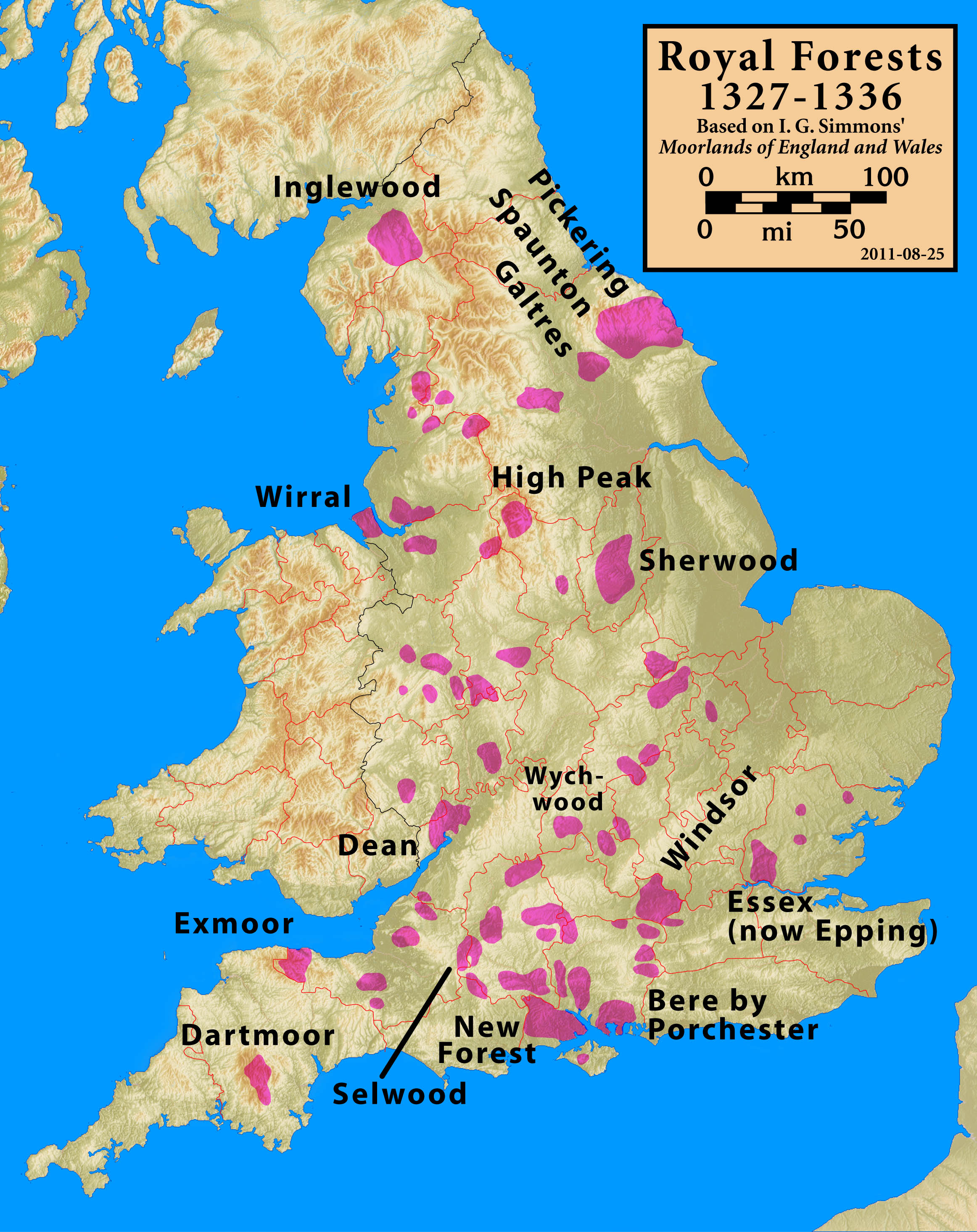
Forest of Galtres
The royal Forest of Galtres was established by the Norman kings of England in North Yorkshire, to the north of the Ancient City of York, extending right...
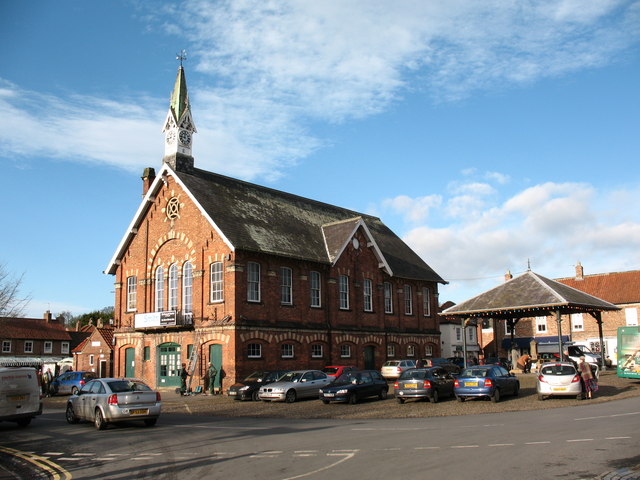
Easingwold
Easingwold is a market town and civil parish in North Yorkshire, England. Historically, part of the North Riding of Yorkshire, it had a population of 4...
Nearby Amenities
Located within 500m of 54.10862,-1.1561285Have you been to West Moor?
Leave your review of West Moor below (or comments, questions and feedback).