Park Plantation
Wood, Forest in Yorkshire
England
Park Plantation
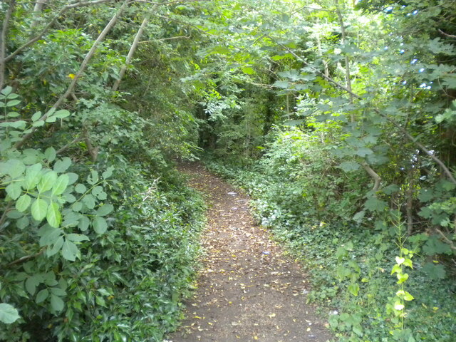
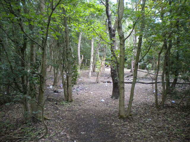
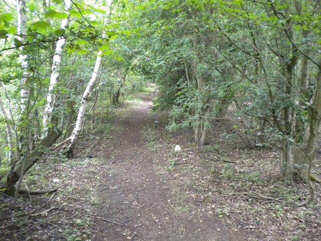
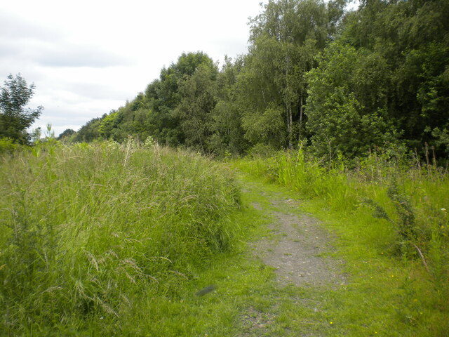
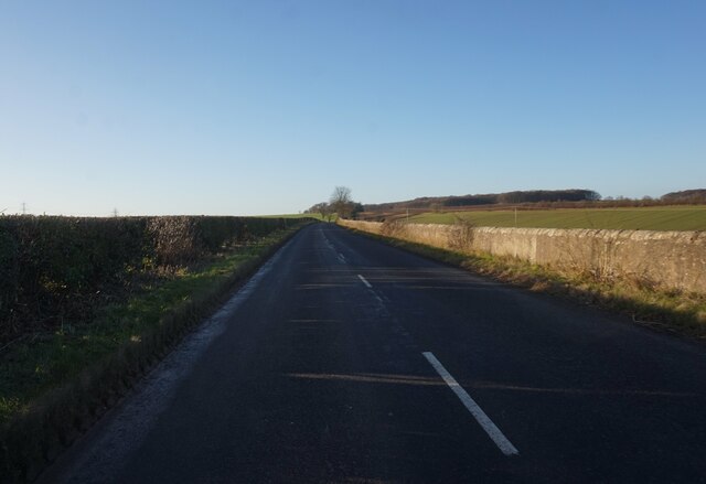
Park Plantation is a serene woodland located in the picturesque region of Yorkshire, England. Situated amidst a beautiful landscape, the plantation spans a vast area and is characterized by its dense growth of trees, making it a perfect destination for nature enthusiasts and outdoor activities.
The woodland is predominantly composed of native tree species, including oak, beech, and birch, which contribute to the plantation's rich biodiversity and scenic beauty. The trees form a thick canopy that provides shelter and habitat for numerous bird species, such as woodpeckers and owls, as well as small mammals like squirrels and foxes.
Visitors to Park Plantation can enjoy a range of activities, including walking and hiking trails that wind through the woodland, offering stunning views of the surrounding countryside. The well-maintained paths make it accessible for people of all ages and fitness levels to explore the plantation and discover its hidden gems. Additionally, the plantation is a popular spot for birdwatching, with designated areas for observing and appreciating the diverse avian population.
The management of Park Plantation is committed to preserving the natural environment and wildlife habitat. Regular conservation efforts, such as controlled burning and selective tree thinning, are undertaken to maintain the health and vitality of the woodland ecosystem.
With its tranquil ambiance and breathtaking beauty, Park Plantation provides a welcome retreat from the hustle and bustle of everyday life, offering visitors an opportunity to immerse themselves in the wonders of nature.
If you have any feedback on the listing, please let us know in the comments section below.
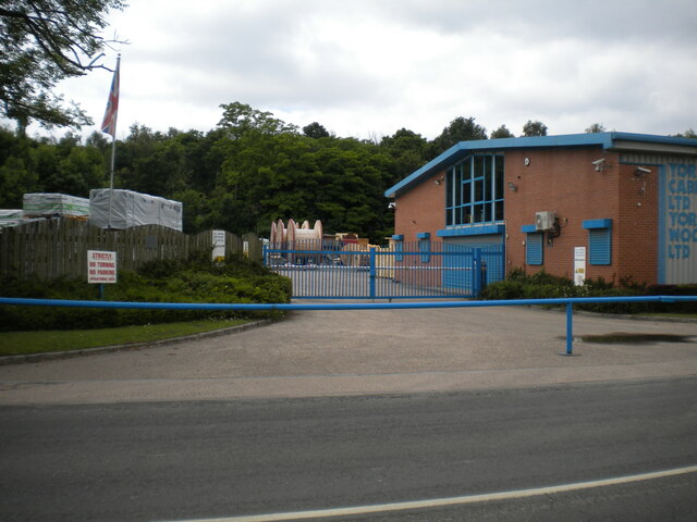
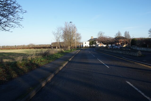
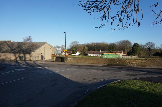
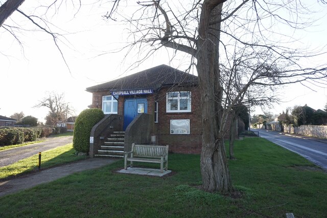
Park Plantation Images
Images are sourced within 2km of 53.618469/-1.1677163 or Grid Reference SE5513. Thanks to Geograph Open Source API. All images are credited.


Park Plantation is located at Grid Ref: SE5513 (Lat: 53.618469, Lng: -1.1677163)
Division: West Riding
Unitary Authority: Doncaster
Police Authority: South Yorkshire
What 3 Words
///exit.reserving.imposes. Near Campsall, South Yorkshire
Nearby Locations
Related Wikis
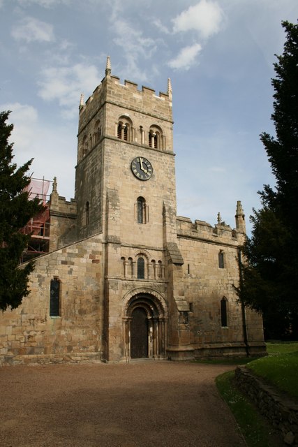
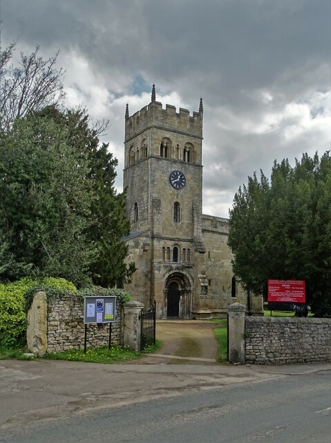
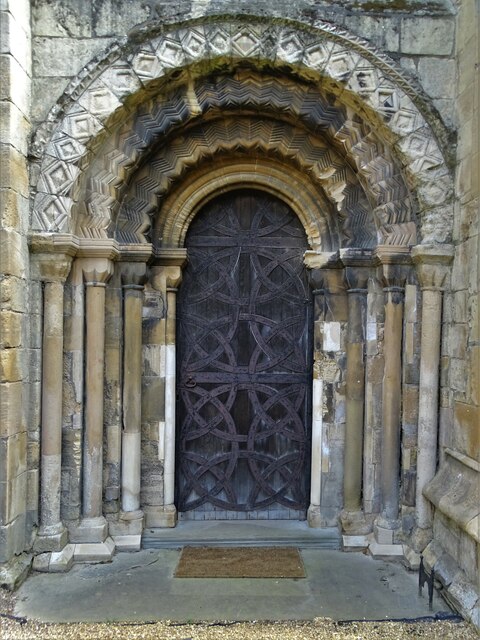
St Mary Magdalene, Campsall
St Mary Magdalene is a parish church in the Church of England in Campsall in South Yorkshire. It is Grade I listed. There is a service every Sunday at...
Campsall
Campsall is a village and former civil parish, now in the parish of Norton, in the Doncaster district, in the county of South Yorkshire, England. It lies...

Norton & Askern (ward)
Norton & Askern—consisting of the town of Askern, Braithwaite, Burghwallis, Campsall, Fenwick, Fishlake, Fosterhouses, Kirk Bramwith, Moss, Norton, Owston...
Askern
Askern () is a town and civil parish within the City of Doncaster, in South Yorkshire, England. It is on the A19 road between Doncaster and Selby. Historically...

Askern railway station
Askern railway station was a station on the Askern branch line of the former Lancashire & Yorkshire Railway between Doncaster and Knottingley. It served...
Askern Miners F.C.
Askern Miners Football Club is a football club based in Askern, Doncaster, South Yorkshire, England. They are currently members of the Doncaster Saturday...

Campsmount Academy
Campsmount Academy is a coeducational secondary school and sixth form located in Norton, South Yorkshire, England. Originally known as Campsmount School...

Sutton, South Yorkshire
Sutton is a small village and former civil parish, now in the parish of Norton, in the City of Doncaster in South Yorkshire, England. It lies at approximately...
Related Videos
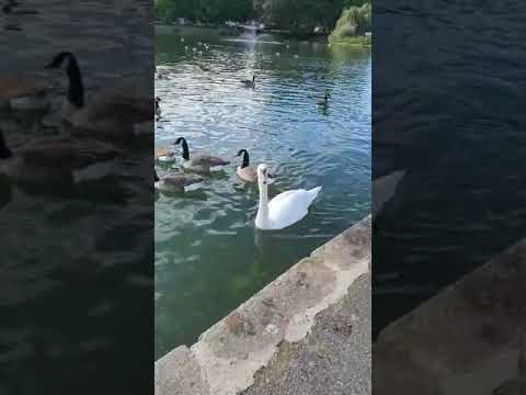
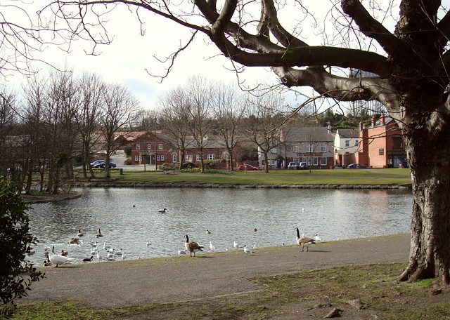
askern lake
askernlake #boatinglake #askern #swans.

That was one hell of a Week! 👩🏻🦳🖤🤘🏻 #yungblud #doncaster #bbcintroducing #bbcradio1
It might only be Monday, but that was one hell of a week! A huge thank you & big love to Dom's family for being ...

Sons Walking in the Light
A sermon taken from John 12:27-36 Speaker: Russ Clarke.

OWSTON: Doncaster Parish #23 of 43
I am eternally grateful for parish boundaries being weird at times. That's mainly because you sometimes rock up to a place and ...
Nearby Amenities
Located within 500m of 53.618469,-1.1677163Have you been to Park Plantation?
Leave your review of Park Plantation below (or comments, questions and feedback).