Hart Hill
Hill, Mountain in Yorkshire Hambleton
England
Hart Hill

Hart Hill is a prominent hill located in the county of Yorkshire, England. Situated in the district of Kirklees, it is part of the Pennine range, which is known for its rugged and picturesque landscapes. Rising to an elevation of approximately 340 meters (1,115 feet), Hart Hill offers breathtaking panoramic views of the surrounding countryside.
The hill is characterized by its distinct shape, with a gentle slope leading up to a narrow and rocky summit. Its terrain is primarily composed of gritstone, giving it a unique texture and appearance. The hill is covered in green vegetation, including grasses, heather, and scattered trees, which add to its natural beauty.
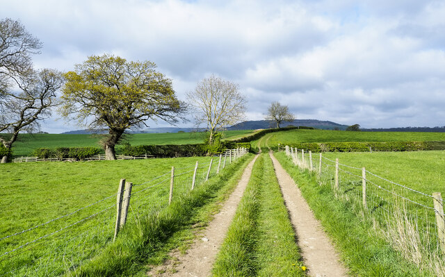
Hart Hill is a popular destination for outdoor enthusiasts and nature lovers. It is a haven for hikers and walkers, who can explore the numerous trails that crisscross the area. The hill's summit provides an excellent vantage point, allowing visitors to appreciate the stunning vistas of the Yorkshire Dales and the nearby town of Huddersfield.
The hill has historical significance as well, with several ancient sites located in its vicinity. These include burial mounds and ancient boundary markers, providing a glimpse into the area's rich past.
Hart Hill is easily accessible by road and is situated close to other attractions such as country parks, quaint villages, and historical landmarks. It offers a peaceful retreat for those seeking tranquility amidst the natural beauty of Yorkshire's countryside.
If you have any feedback on the listing, please let us know in the comments section below.
Hart Hill Images
Images are sourced within 2km of 54.462342/-1.1420815 or Grid Reference NZ5507. Thanks to Geograph Open Source API. All images are credited.


Hart Hill is located at Grid Ref: NZ5507 (Lat: 54.462342, Lng: -1.1420815)
Division: North Riding
Administrative County: North Yorkshire
District: Hambleton
Police Authority: North Yorkshire
What 3 Words
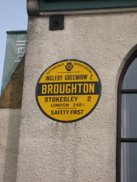
///adverbs.deferring.billiard. Near Ingleby Greenhow, North Yorkshire
Nearby Locations
Related Wikis
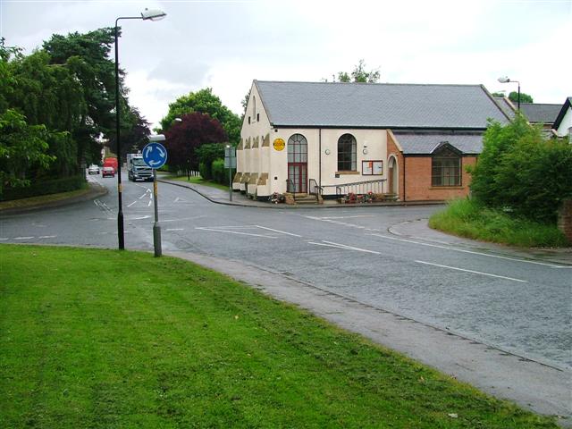
Great Broughton, North Yorkshire
Great Broughton is a village in the Great and Little Broughton civil parish of the Hambleton district of North Yorkshire in northern England. == History... ==
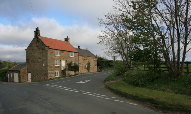
Easby, Hambleton
Easby is a village and civil parish in Hambleton District of North Yorkshire, England. It lies approximately 2 miles (3.2 km) south-east of Great Ayton...

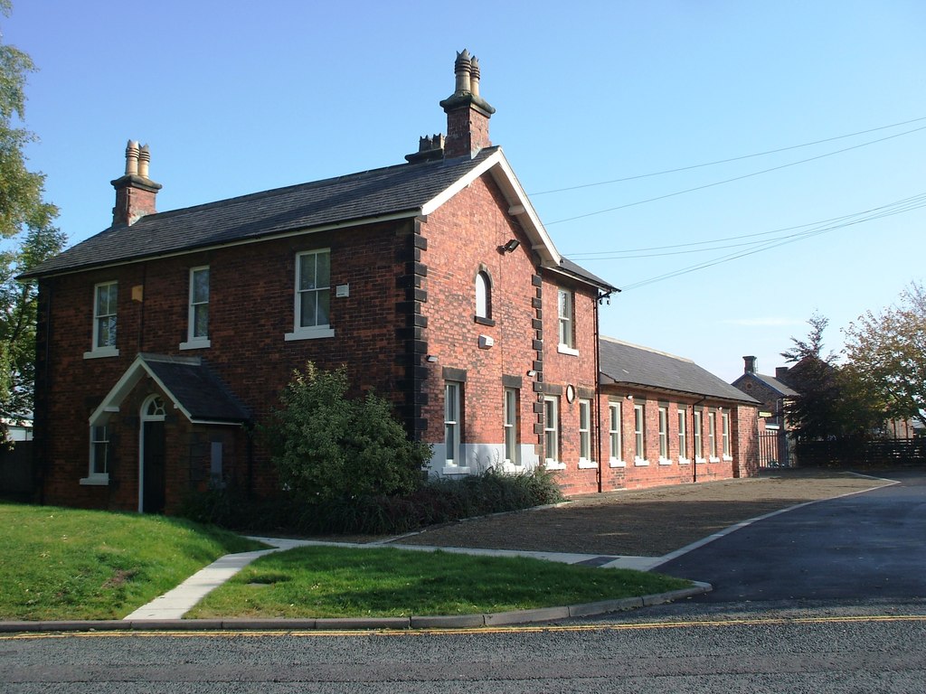
Ingleby railway station
Ingleby railway station was a railway station built to serve the village of Ingleby Greenhow in North Yorkshire, England. The station was on the North...

Boro Rangers F.C.
Boro Rangers Football Club is a football club based in Stokesley, England. They are currently members of the Northern League Division One and play at Broughton...
Billingham Synthonia F.C.
Billingham Synthonia Football Club is a football club based in Stokesley, North Yorkshire, England. Nicknamed the "Synners", they are currently members...
Stokesley Sports Club F.C.
Stokesley Sports Club Football Club is a football club based in Stokesley, North Yorkshire, England. They are currently members of the North Riding League...
Stokesley railway station
Stokesley railway station was a railway station built to serve the town of Stokesley in North Yorkshire, England. The station was on the North Yorkshire...

North Riding County Football Association
The North Riding County Football Association, also known as the North Riding FA, is the football governing body for the North Riding of Yorkshire. Its...
Related Videos

Day 08
Day 08 - Danby Wiske to Great Broughton. The walk was over flat fields for first half. At one point I saw many deer running and ...
Great Broughton North Yorkshire
https://www.broughton-kirby.com/ https://en.m.wikipedia.org/wiki/Great_Broughton,_North_Yorkshire ...

Hasty Bank, Cold Moor, Cringle Moor & Carlton Moor, North York Moors - 13 February 2021
At almost 11 miles this walk starts from Clay Bank Car Park. The route follows the Cleveland Way west over Hasty Bank and past ...

Wainstones, Abandoned Buildings After Dark!
A hike that visits the prehistoric Wainstones and summits the highest point in the North York Moors! Wainstones historic ...
Nearby Amenities
Located within 500m of 54.462342,-1.1420815Have you been to Hart Hill?
Leave your review of Hart Hill below (or comments, questions and feedback).