The Chapelgarth

Hill, Mountain in Yorkshire Hambleton

England

The Chapelgarth

The approach to Great Broughton A view towards the southern edge of the village along the B1257. Broughton isn't pronounced as 'Brawton' or 'Brufton', but at 'Browton'. Confusing for visitors to this corner of North Yorkshire.
The approach to Great Broughton Credit: Gordon Hatton

The Chapelgarth is a stunning hill located in the county of Yorkshire, England. Rising majestically above the surrounding landscape, it stands at an impressive height, offering breathtaking views of the picturesque countryside below. With its serene and tranquil atmosphere, it has become a popular destination for nature enthusiasts and outdoor adventurers.

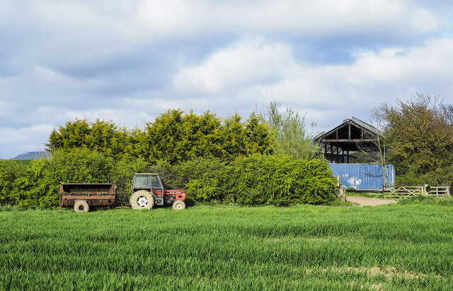
The hill is known for its diverse range of flora and fauna, making it an important ecological hotspot. It is home to a variety of plant species, including heather, wildflowers, and ancient oak trees. Many rare and protected animal species have also made their habitat on the Chapelgarth, such as red grouse, kestrels, and skylarks.

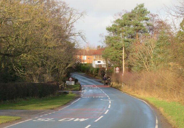
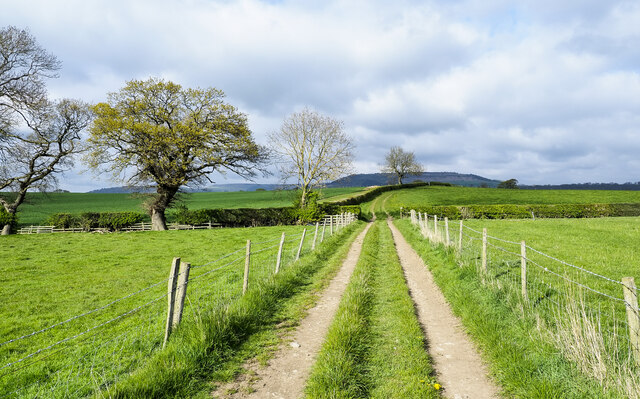
Visitors can explore the hill through a network of well-maintained trails and footpaths that wind through its verdant slopes. These paths offer an opportunity to immerse oneself in the natural beauty of the area, providing ample opportunities for hiking, birdwatching, and photography.

At the summit of the Chapelgarth, one can find a small stone chapel, which is believed to date back to medieval times. The chapel adds a touch of historical charm to the hill, serving as a reminder of the area's rich cultural heritage.

Overall, the Chapelgarth in Yorkshire is a true gem of natural beauty and tranquility. Whether one seeks adventure or simply wishes to bask in the serenity of the countryside, this hill is a must-visit destination for nature lovers and history enthusiasts alike.

If you have any feedback on the listing, please let us know in the comments section below.

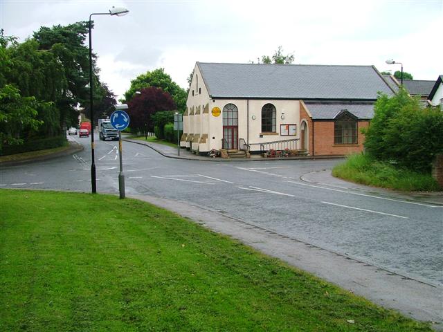
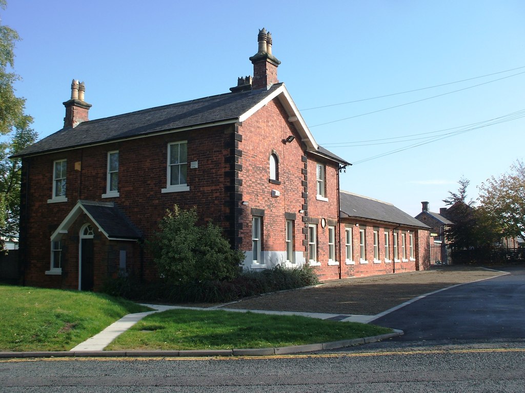
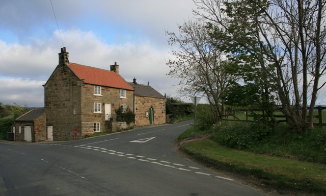
The Chapelgarth Images

Images are sourced within 2km of 54.454098/-1.1417911 or Grid Reference NZ5506. Thanks to Geograph Open Source API. All images are credited.

The approach to Great Broughton A view towards the southern edge of the village along the B1257. Broughton isn't pronounced as 'Brawton' or 'Brufton', but at 'Browton'. Confusing for visitors to this corner of North Yorkshire.
The approach to Great Broughton
A view towards the southern edge of the village along the B1257. Broughton isn't pronounced as 'Brawton' or 'Brufton', but at 'Browton'. Confusing for visitors to this corner of North Yorkshire.
Road approaching Firs Lodge Looking west along the road that links Easby with Stokesley.
Road approaching Firs Lodge
Looking west along the road that links Easby with Stokesley.
Harland Hill There's a stone built farmhouse here in traditional style, but the building has been extended a long way to the right with what could be 2 or 3 extra dwellings of brick construction. All slightly odd.
Harland Hill
There's a stone built farmhouse here in traditional style, but the building has been extended a long way to the right with what could be 2 or 3 extra dwellings of brick construction. All slightly odd.
Heading towards Drummer Hill Farm The farm track is also the route of a public footpath, it runs close to Ingleby Beck which is in the trees to the left in the image.
Heading towards Drummer Hill Farm
The farm track is also the route of a public footpath, it runs close to Ingleby Beck which is in the trees to the left in the image.
Farm road heading towards trig point The purpose of the road is obviously not to visit the trig point but it's heading that way. The road, also the route of a public footpath, descends to cross a stream and continues to come to a tree. The pillar can just be detected a little to the right of that tree - a tiny white feature embedded in the hedge.
Farm road heading towards trig point
The purpose of the road is obviously not to visit the trig point but it's heading that way. The road, also the route of a public footpath, descends to cross a stream and continues to come to a tree. The pillar can just be detected a little to the right of that tree - a tiny white feature embedded in the hedge.
Rough grazing on north side of Ingleby Greenhow Road The road is on the far side of the hedge bounding the small field. So rough is the field that it might not be in use at all, even for grazing.
Rough grazing on north side of Ingleby Greenhow Road
The road is on the far side of the hedge bounding the small field. So rough is the field that it might not be in use at all, even for grazing.
Crop in field with parked tractor The crop is assumed to be some form of grain. The barn is at Bonny Hill. A public footpath runs alongside the hedge; it wasn't followed as to have used it there would have entailed, earlier, marching straight across a growing crop in order to adhere to the path line. The path had not been reinstated!
Crop in field with parked tractor
The crop is assumed to be some form of grain. The barn is at Bonny Hill. A public footpath runs alongside the hedge; it wasn't followed as to have used it there would have entailed, earlier, marching straight across a growing crop in order to adhere to the path line. The path had not been reinstated!
Old circular AA sign on Ingleby Road, Great Broughton Old AA Sign located on the south facing wall of the village hall on the northeast side of a crossroads of Ingleby Road and the B1257 High Street, Great Broughton, 2 miles southeast of Stokesley. Great and Little Broughton parish.

This is the circular, village name on black band, no Motor Union symbol or name type, dating from 1923 and showing distances Ingleby Greenhow 2 Stokesley 2 London 248½. 

There were five series of AA signs, mostly dating from 1923 and made by Francis & Co / Franco in Deptford, London. The village name and distance to London or Dublin were normally displayed.

See also <a title="https://www.geograph.org.uk/photo/6076740" href="https://www.geograph.org.uk/photo/6076740">Link</a> , <span class="nowrap"><a title="https://www.flickr.com/photos/11065676@N00/5870151826" rel="nofollow ugc noopener" href="https://www.flickr.com/photos/11065676@N00/5870151826">Link</a><img style="margin-left:2px;" alt="External link" title="External link - shift click to open in new window" src="https://s1.geograph.org.uk/img/external.png" width="10" height="10"/></span> and <a title="https://www.geograph.org.uk/photo/1640515" href="https://www.geograph.org.uk/photo/1640515">Link</a>.

Milestone Society National ID: YO-GTBROU
Old circular AA sign on Ingleby Road, Great Broughton
Old AA Sign located on the south facing wall of the village hall on the northeast side of a crossroads of Ingleby Road and the B1257 High Street, Great Broughton, 2 miles southeast of Stokesley. Great and Little Broughton parish. This is the circular, village name on black band, no Motor Union symbol or name type, dating from 1923 and showing distances Ingleby Greenhow 2 Stokesley 2 London 248½. There were five series of AA signs, mostly dating from 1923 and made by Francis & Co / Franco in Deptford, London. The village name and distance to London or Dublin were normally displayed. See also Link , LinkExternal link and Link. Milestone Society National ID: YO-GTBROU
Near Meynell Hall Looking SW towards Hasty Bank and Cold Moor.
Near Meynell Hall
Looking SW towards Hasty Bank and Cold Moor.
Remains of a railway bridge The remains of a railway bridge near Little Broughton.
Remains of a railway bridge
The remains of a railway bridge near Little Broughton.
View from the trig point With the Cleveland Hills shrouded in mist.
View from the trig point
With the Cleveland Hills shrouded in mist.
Not a good scarecrow This 'scarecrow' isn't likely to scare any birds away.
Not a good scarecrow
This 'scarecrow' isn't likely to scare any birds away.
Single-railed foot bridge This narrow foot bridge over Ingleby Beck only has a rail on one side.
Single-railed foot bridge
This narrow foot bridge over Ingleby Beck only has a rail on one side.
Ingleby Beck Near Ingleby Greenhow.
Ingleby Beck
Near Ingleby Greenhow.
Ford on Broughton Bridge Beck The image of the ford is taken looking towards Primrose Hill Farm Farmhouse.
Ford on Broughton Bridge Beck
The image of the ford is taken looking towards Primrose Hill Farm Farmhouse.
Gilder Toft Farm
Gilder Toft Farm
Entrance to Gilder Toft Farm
Castle House triangulation pillar view The view south-west from the Triangulation pillar across to the Cleveland Hills.
Castle House triangulation pillar view
The view south-west from the Triangulation pillar across to the Cleveland Hills.
Show me another place!

The Chapelgarth is located at Grid Ref: NZ5506 (Lat: 54.454098, Lng: -1.1417911)

Division: North Riding

Administrative County: North Yorkshire

District: Hambleton

Police Authority: North Yorkshire

What 3 Words

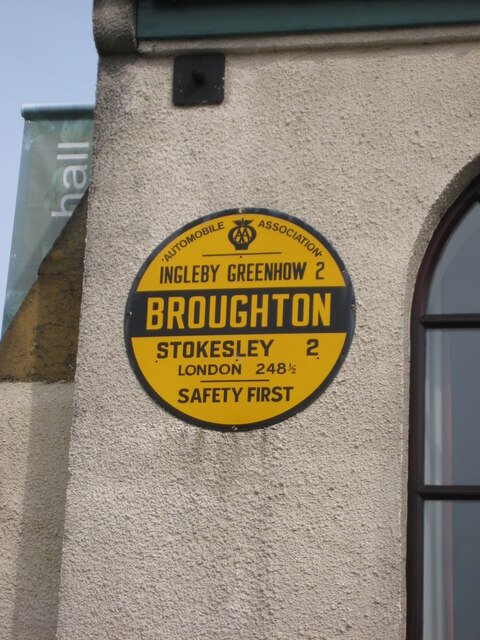
///whirlpool.studs.joined. Near Ingleby Greenhow, North Yorkshire

Related Wikis

Great Broughton, North Yorkshire

Great Broughton is a village in the Great and Little Broughton civil parish of the Hambleton district of North Yorkshire in northern England. == History... ==

Kirkby, North Yorkshire

Kirkby (historically known as Kirkby-in-Cleveland) is a village and civil parish in Hambleton district of North Yorkshire, England, near Great Busby and...

Ingleby railway station

Ingleby railway station was a railway station built to serve the village of Ingleby Greenhow in North Yorkshire, England. The station was on the North...

Ingleby Greenhow

Ingleby Greenhow is a village and civil parish in the Hambleton district of North Yorkshire, England. It is on the border of the North York Moors and 3...

Stokesley railway station

Stokesley railway station was a railway station built to serve the town of Stokesley in North Yorkshire, England. The station was on the North Yorkshire...

Easby, Hambleton

Easby is a village and civil parish in Hambleton District of North Yorkshire, England. It lies approximately 2 miles (3.2 km) south-east of Great Ayton...

Boro Rangers F.C.

Boro Rangers Football Club is a football club based in Stokesley, England. They are currently members of the Northern League Division One and play at Broughton...

Billingham Synthonia F.C.

Billingham Synthonia Football Club is a football club based in Stokesley, North Yorkshire, England. Nicknamed the "Synners", they are currently members...

Nearby Amenities

Located within 500m of 54.454098,-1.1417911
Chapelgarth
Place: hamlet
Lat/Long: 54.4522716/-1.1388481
Whitehouse Farm
Place: isolated_dwelling
Lat/Long: 54.4579328/-1.1429438
The data included in this document is from www.openstreetmap.org. The data is made available under ODbL.

Have you been to The Chapelgarth?

Leave your review of The Chapelgarth below (or comments, questions and feedback).