Little Broughton
Settlement in Yorkshire Hambleton
England
Little Broughton
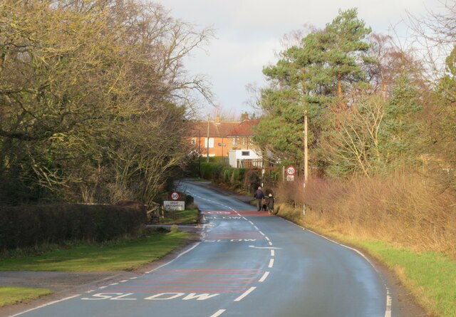
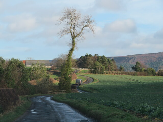
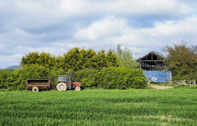
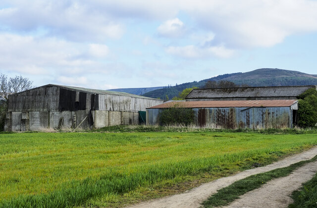
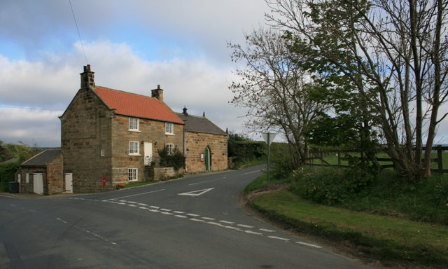
Little Broughton is a small village located in the county of Yorkshire, England. Situated in the Hambleton district, it lies approximately 3 miles north of the market town of Stokesley. The village is nestled amidst picturesque countryside and is surrounded by rolling hills and fields, giving it a tranquil and idyllic setting.
Little Broughton is known for its quaint and charming character, with a population of just over 200 residents. The village features a mix of traditional stone-built cottages and more modern houses, creating a harmonious blend of old and new architecture. The community is tight-knit, with a friendly and welcoming atmosphere that reflects the warmth of rural Yorkshire.
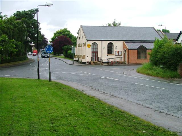
Although small in size, Little Broughton offers amenities to its residents. The village has a local pub that serves as a social hub for locals and visitors alike, providing a place to relax and enjoy a drink or a meal. Additionally, there is a village hall that hosts various events and gatherings throughout the year, fostering a sense of community spirit.
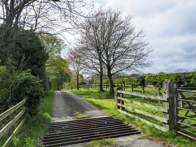
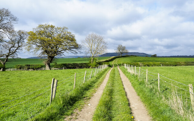
The surrounding countryside offers ample opportunities for outdoor activities such as walking, cycling, and horseback riding, with numerous trails and paths to explore. Little Broughton is also within easy reach of the North York Moors National Park, a stunning area of natural beauty that attracts tourists from far and wide.
In summary, Little Broughton is a charming village in Yorkshire, offering a peaceful and rural lifestyle with a strong sense of community. Its beautiful surroundings and proximity to nature make it an ideal location for those seeking a tranquil retreat.
If you have any feedback on the listing, please let us know in the comments section below.
Little Broughton Images
Images are sourced within 2km of 54.452431/-1.1385408 or Grid Reference NZ5506. Thanks to Geograph Open Source API. All images are credited.


Little Broughton is located at Grid Ref: NZ5506 (Lat: 54.452431, Lng: -1.1385408)
Division: North Riding
Administrative County: North Yorkshire
District: Hambleton
Police Authority: North Yorkshire
What 3 Words
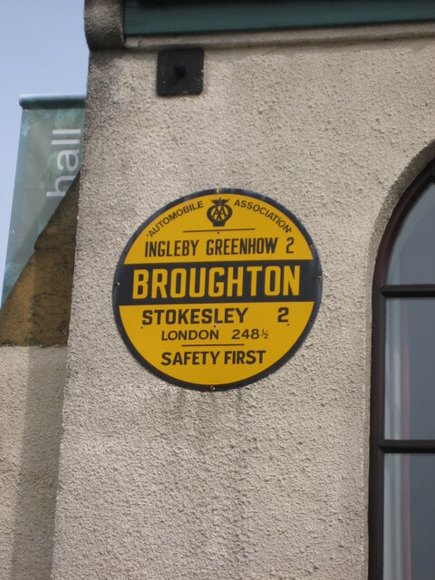
///ranked.loudness.lace. Near Ingleby Greenhow, North Yorkshire
Nearby Locations
Related Wikis
Great Broughton, North Yorkshire
Great Broughton is a village in the Great and Little Broughton civil parish of the Hambleton district of North Yorkshire in northern England. == History... ==

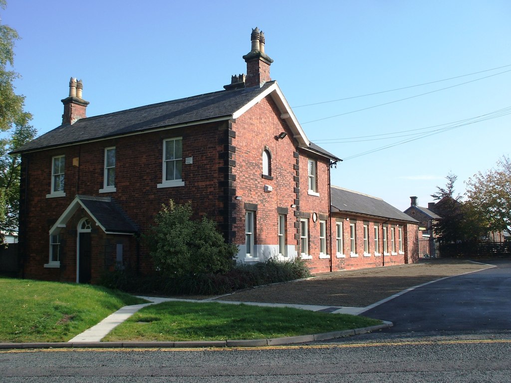
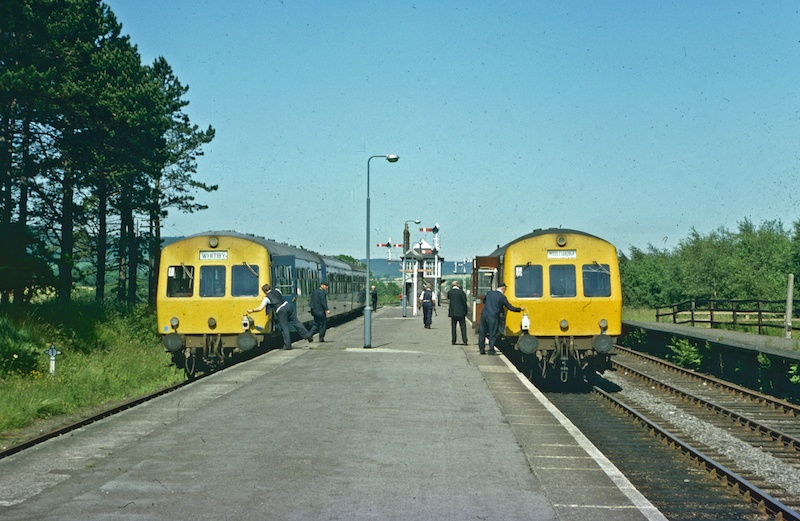
Ingleby railway station
Ingleby railway station was a railway station built to serve the village of Ingleby Greenhow in North Yorkshire, England. The station was on the North...

Kirkby, North Yorkshire
Kirkby (historically known as Kirkby-in-Cleveland) is a village and civil parish in Hambleton district of North Yorkshire, England, near Great Busby and...

Ingleby Greenhow
Ingleby Greenhow is a village and civil parish in the Hambleton district of North Yorkshire, England. It is on the border of the North York Moors and 3...
Easby, Hambleton
Easby is a village and civil parish in Hambleton District of North Yorkshire, England. It lies approximately 2 miles (3.2 km) south-east of Great Ayton...
Stokesley railway station
Stokesley railway station was a railway station built to serve the town of Stokesley in North Yorkshire, England. The station was on the North Yorkshire...
Battersby railway station
Battersby is a railway station on the Esk Valley Line, which runs between Middlesbrough and Whitby via Nunthorpe. The station, situated 11 miles 4 chains...

Boro Rangers F.C.
Boro Rangers Football Club is a football club based in Stokesley, England. They are currently members of the Northern League Division One and play at Broughton...
Nearby Amenities
Located within 500m of 54.452431,-1.1385408Have you been to Little Broughton?
Leave your review of Little Broughton below (or comments, questions and feedback).