Riddle Hill
Hill, Mountain in Berkshire South Oxfordshire
England
Riddle Hill
Riddle Hill is a prominent geographical feature located in Berkshire, England. It is classified as a hill rather than a mountain due to its relatively modest elevation. The hill is situated near the village of Riddlecombe, hence its name, and is part of the Berkshire Downs, a range of chalk hills that stretch across the county.
Riddle Hill stands at an elevation of approximately 250 meters (820 feet) above sea level. It offers commanding views of the surrounding countryside, including the picturesque landscapes of the Berkshire Downs and the nearby villages. The hill is covered with lush greenery, featuring a diverse array of plant species and providing habitat for various wildlife.
The hill is a popular destination for outdoor enthusiasts, hikers, and nature lovers. It boasts several well-marked trails that lead visitors through its scenic slopes and valleys. These trails offer a great opportunity to explore the natural beauty of the area and enjoy breathtaking vistas from the summit. Additionally, Riddle Hill is home to an abundance of flora and fauna, making it an ideal spot for birdwatching and wildlife observation.
Riddle Hill is easily accessible, with nearby parking areas and public transportation links. Its location in the Berkshire Downs means that it is conveniently located for visitors from the surrounding towns and cities. Whether one seeks a leisurely stroll, a challenging hike, or simply a peaceful retreat in nature, Riddle Hill offers a rewarding experience for all who venture to its slopes.
If you have any feedback on the listing, please let us know in the comments section below.
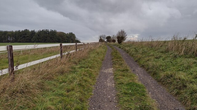
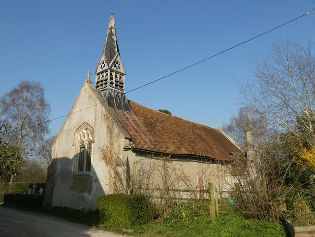
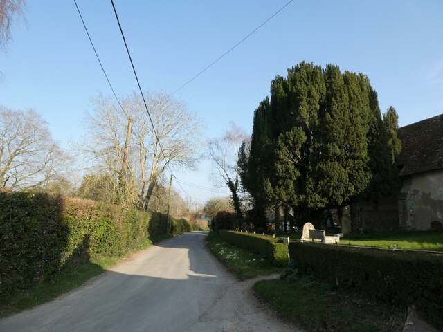
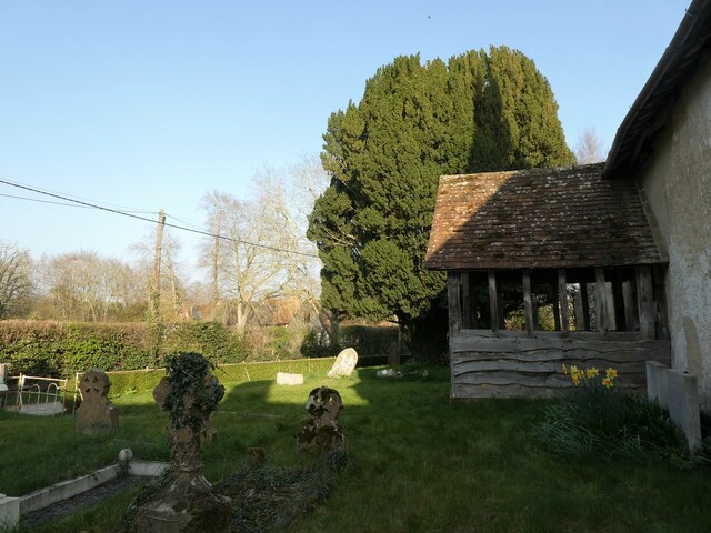
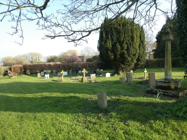
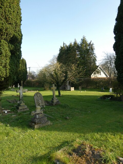
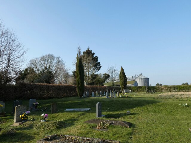
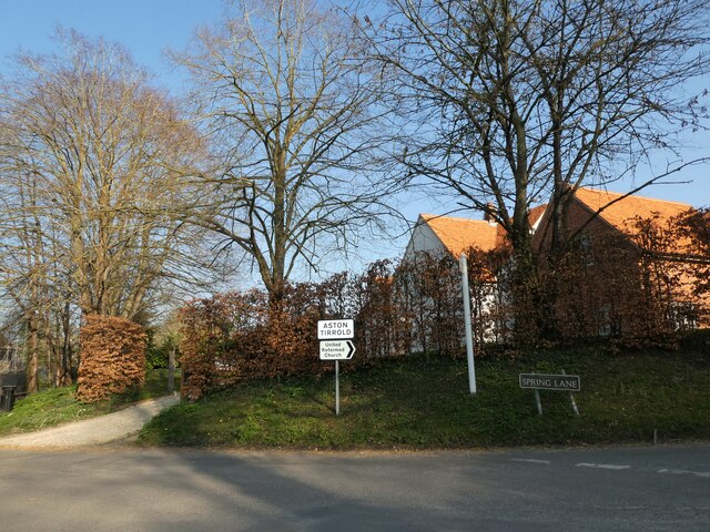
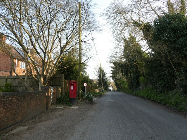
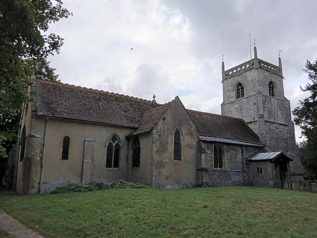
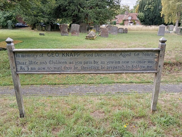
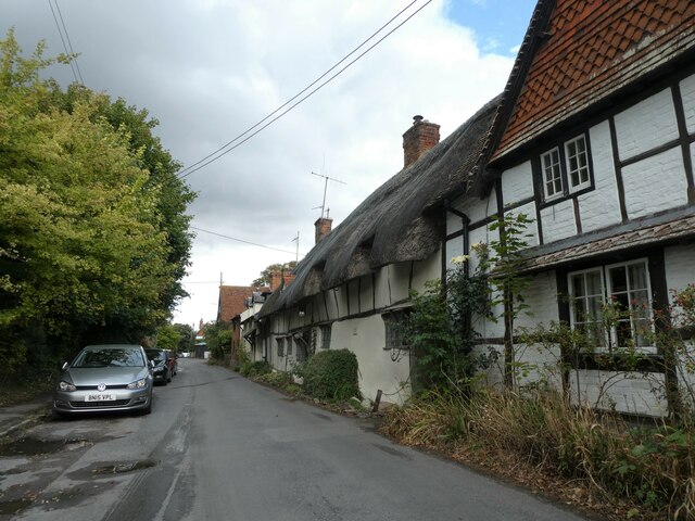
Riddle Hill Images
Images are sourced within 2km of 51.557643/-1.2196606 or Grid Reference SU5484. Thanks to Geograph Open Source API. All images are credited.

Riddle Hill is located at Grid Ref: SU5484 (Lat: 51.557643, Lng: -1.2196606)
Administrative County: Oxfordshire
District: South Oxfordshire
Police Authority: Thames Valley
What 3 Words
///evaded.hangs.incorrect. Near Blewbury, Oxfordshire
Nearby Locations
Related Wikis

Aston Upthorpe Downs
Aston Upthorpe Downs is a 38.5-hectare (95-acre) biological Site of Special Scientific Interest south of Aston Upthorpe in Oxfordshire. It is a Nature...

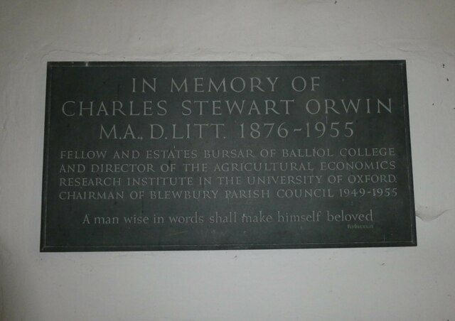
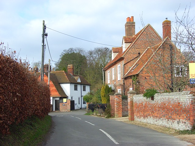
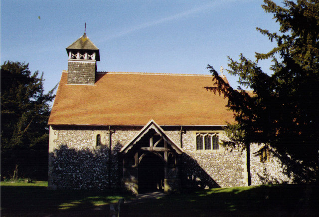
Blewbury
Blewbury is a village and civil parish at the foot of the Berkshire Downs section of the North Wessex Downs about 4 miles (6.4 km) south of Didcot, 14...

Blewburton Hill
Blewburton Hill is the site of an Iron Age hillfort located in Oxfordshire, in the southeast of England. It was a univallate hillfort (with a single rampart...

Aston Tirrold
Aston Tirrold is a village and civil parish at the foot of the Berkshire Downs about 3 miles (5 km) southeast of Didcot. It was part of Berkshire until...
Aston Upthorpe
Aston Upthorpe is a village and civil parish about 3 miles (5 km) southeast of Didcot in South Oxfordshire. It was part of Berkshire until the 1974 boundary...

Battle of Ashdown
The Battle of Ashdown was a West Saxon victory over a Danish Viking army on about 8 January 871. The location of Ashdown is not known, but may be Kingstanding...
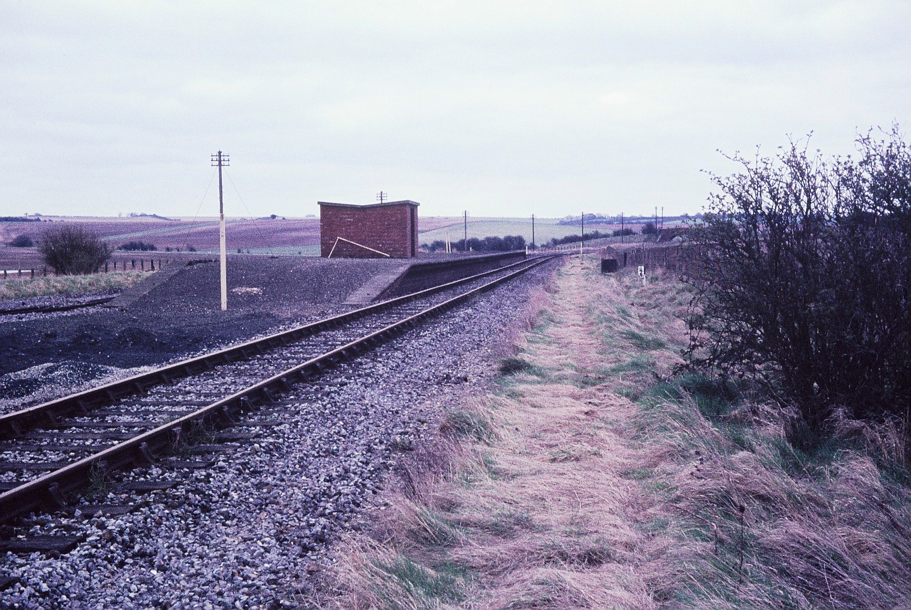
Churn railway station
Churn railway station was a station on the Didcot, Newbury and Southampton Railway in England. It served Churn Down, a remote part of the Berkshire Downs...
Upton, Vale of White Horse
Upton is a spring line village and civil parish at the foot of the Berkshire Downs, about 2 miles (3 km) south of Didcot in the Vale of the White Horse...
Nearby Amenities
Located within 500m of 51.557643,-1.2196606Have you been to Riddle Hill?
Leave your review of Riddle Hill below (or comments, questions and feedback).