Baldon Hill
Hill, Mountain in Berkshire Vale of White Horse
England
Baldon Hill
Baldon Hill, located in Berkshire, England, is a notable hill that forms part of the Berkshire Downs. It stands at an elevation of approximately 197 meters (646 feet) above sea level, offering panoramic views of the surrounding countryside. The hill is situated near the village of Baldon and lies within the North Wessex Downs Area of Outstanding Natural Beauty.
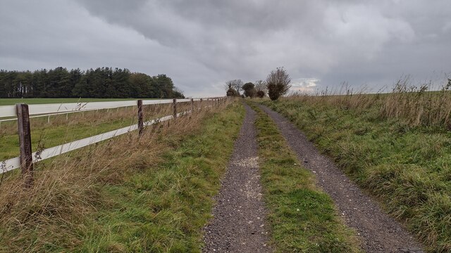
Baldon Hill is characterized by its gently rolling landscape, with a mixture of grassland, farmland, and patches of woodland covering its slopes. It is primarily composed of chalk, a characteristic feature of the Berkshire Downs. The chalky soil supports a diverse range of flora and fauna, including wildflowers such as cowslips and harebells, as well as various species of butterflies and birds.
The hill is a popular destination for outdoor enthusiasts, offering opportunities for walking, hiking, and nature exploration. There are well-defined footpaths and trails that crisscross the area, allowing visitors to explore the hill and its surroundings. Additionally, the hill provides a vantage point for birdwatching, with several species of birds, including skylarks and kestrels, frequently spotted in the area.
Baldon Hill has also been the subject of archaeological interest, with evidence of prehistoric activity discovered in the vicinity. Ancient burial mounds and remnants of settlements have been found nearby, providing insights into the region's rich history.
Overall, Baldon Hill offers a tranquil and picturesque setting for nature lovers and history enthusiasts alike, providing a glimpse into the natural beauty and cultural heritage of Berkshire.
If you have any feedback on the listing, please let us know in the comments section below.
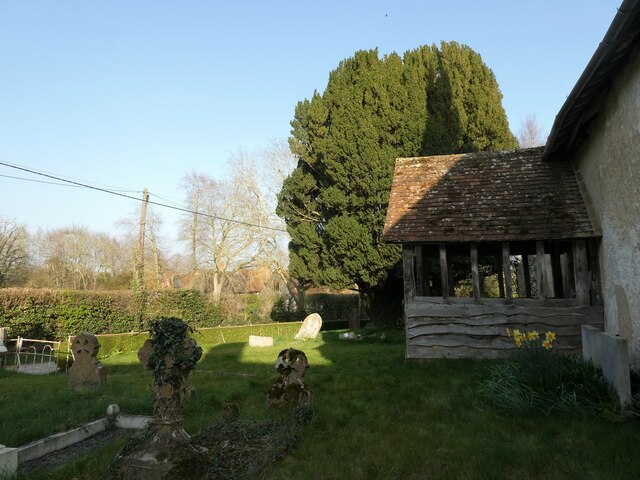
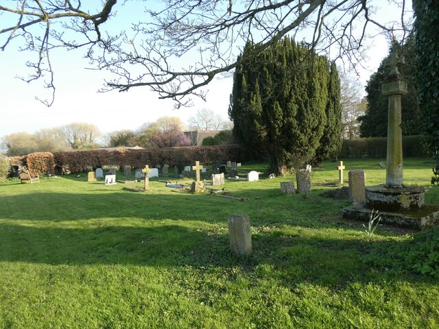
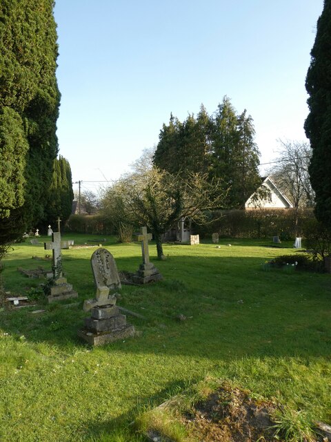
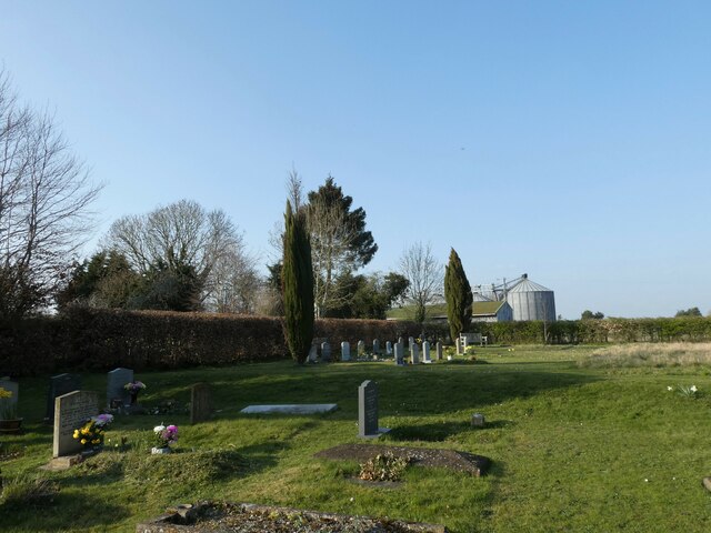
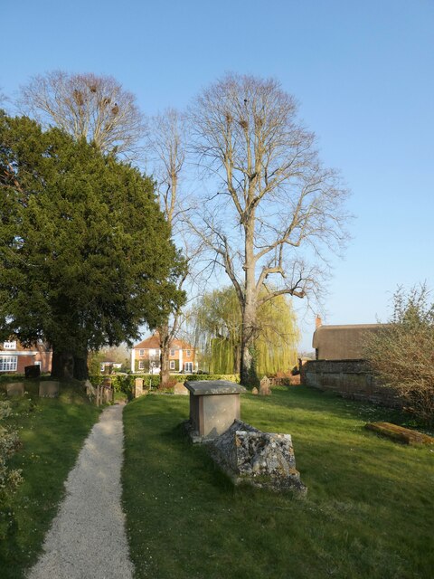
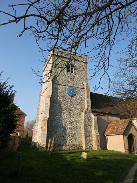
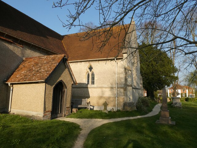
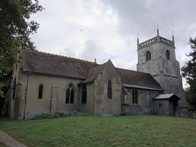
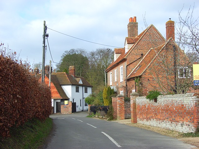
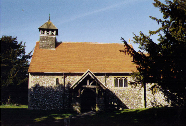
Baldon Hill Images
Images are sourced within 2km of 51.562039/-1.219571 or Grid Reference SU5485. Thanks to Geograph Open Source API. All images are credited.
Baldon Hill is located at Grid Ref: SU5485 (Lat: 51.562039, Lng: -1.219571)
Administrative County: Oxfordshire
District: Vale of White Horse
Police Authority: Thames Valley
What 3 Words
///older.rainy.ridiculed. Near Blewbury, Oxfordshire
Nearby Locations
Related Wikis

Blewburton Hill
Blewburton Hill is the site of an Iron Age hillfort located in Oxfordshire, in the southeast of England. It was a univallate hillfort (with a single rampart...

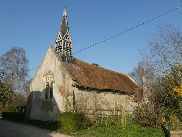
Blewbury
Blewbury is a village and civil parish at the foot of the Berkshire Downs section of the North Wessex Downs about 4 miles (6.4 km) south of Didcot, 14...

Aston Upthorpe Downs
Aston Upthorpe Downs is a 38.5-hectare (95-acre) biological Site of Special Scientific Interest south of Aston Upthorpe in Oxfordshire. It is a Nature...
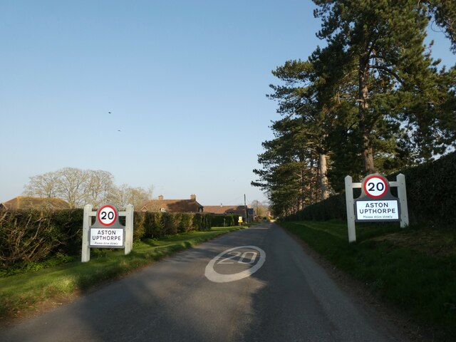
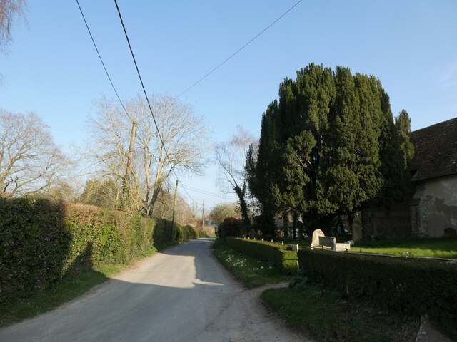
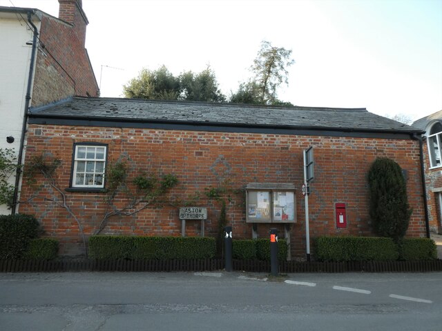
Aston Upthorpe
Aston Upthorpe is a village and civil parish about 3 miles (5 km) southeast of Didcot in South Oxfordshire. It was part of Berkshire until the 1974 boundary...

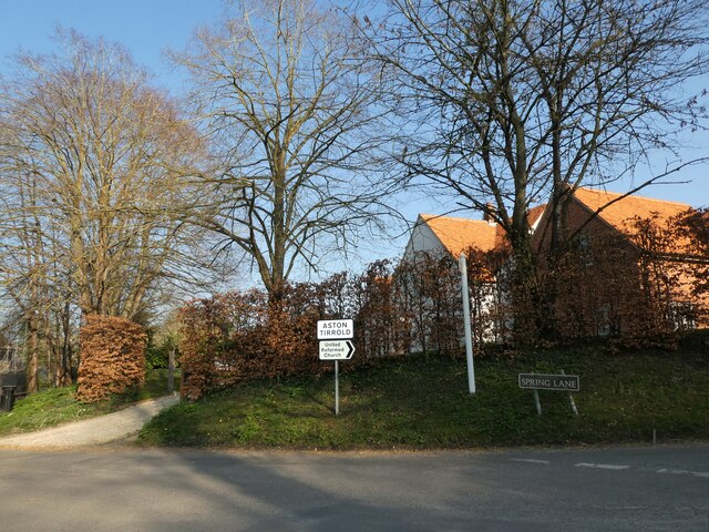
Aston Tirrold
Aston Tirrold is a village and civil parish at the foot of the Berkshire Downs about 3 miles (5 km) southeast of Didcot. It was part of Berkshire until...

South Moreton Castle
South Moreton Castle was an 11th-century castle in the village of South Moreton, Oxfordshire, (historically in Berkshire until the 1974 reorganisation...
Upton, Vale of White Horse
Upton is a spring line village and civil parish at the foot of the Berkshire Downs, about 2 miles (3 km) south of Didcot in the Vale of the White Horse...

East Hagbourne
East Hagbourne is a village and civil parish about 1 mile (1.6 km) south of Didcot and 11 miles (18 km) south of Oxford. It was part of Berkshire until...
Nearby Amenities
Located within 500m of 51.562039,-1.219571Have you been to Baldon Hill?
Leave your review of Baldon Hill below (or comments, questions and feedback).