Baldon Wood
Wood, Forest in Berkshire South Oxfordshire
England
Baldon Wood
Baldon Wood, located in Berkshire, is a picturesque woodland area that encompasses approximately 200 acres of land. Situated near the town of Reading, it is a popular destination for nature enthusiasts and locals seeking tranquility in the heart of the English countryside.
The wood is primarily composed of deciduous trees, including oak, beech, and birch, which create a dense and diverse canopy. This varied tree composition leads to an array of vibrant colors during the autumn months, attracting visitors from far and wide to witness the breathtaking beauty of the woodland.
Baldon Wood is also home to a multitude of wildlife species, making it an important ecological site in the region. Visitors can often spot deer, foxes, and a variety of bird species, including woodpeckers and owls, as they explore the network of walking trails that wind through the forest.
Aside from its natural allure, Baldon Wood offers recreational facilities to enhance visitors' experiences. Picnic areas are scattered throughout the wood, providing a perfect spot for families and friends to enjoy a meal surrounded by nature. Additionally, there are designated areas for camping and outdoor activities such as birdwatching and photography.
Managed by local authorities, Baldon Wood is well-maintained, ensuring a safe and pleasant environment for all who visit. Educational programs and guided tours are periodically organized to educate visitors about the importance of preserving this natural habitat and its inhabitants.
Overall, Baldon Wood in Berkshire is a captivating destination where visitors can immerse themselves in the beauty of nature, observe wildlife, and enjoy recreational activities in a serene and enchanting setting.
If you have any feedback on the listing, please let us know in the comments section below.
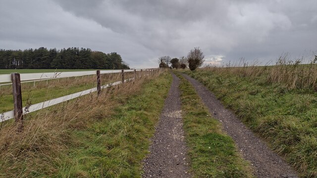
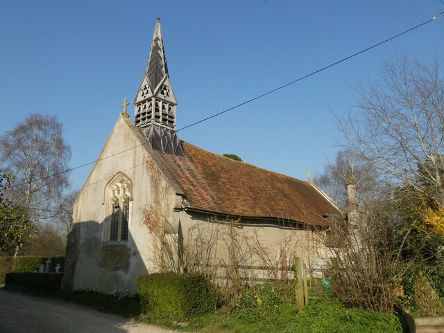
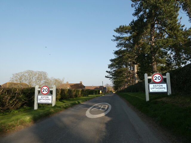
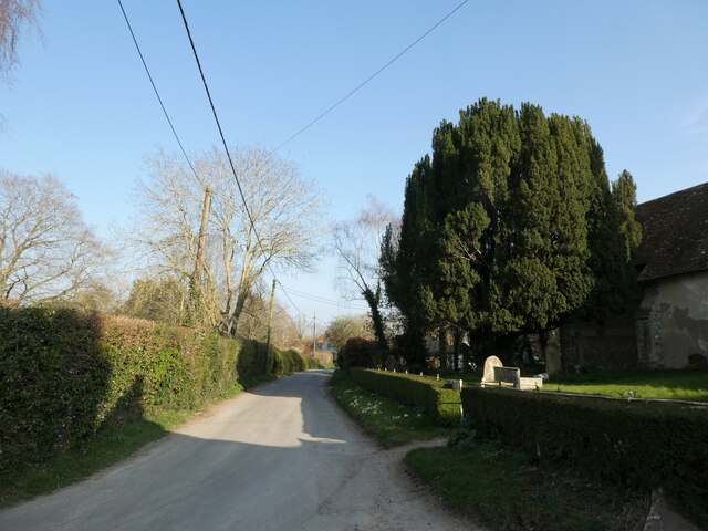
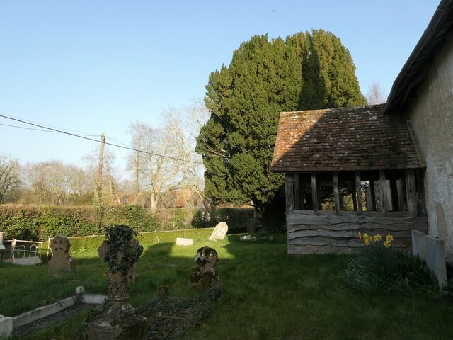
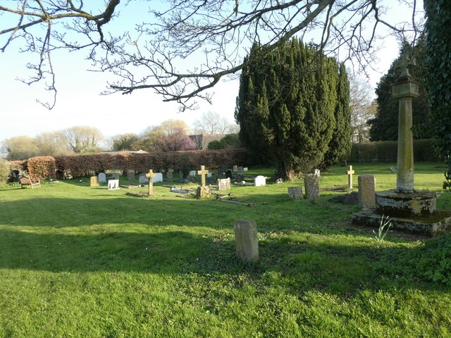
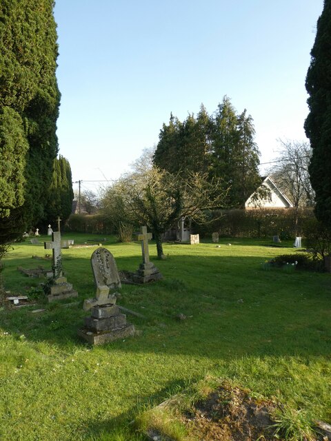
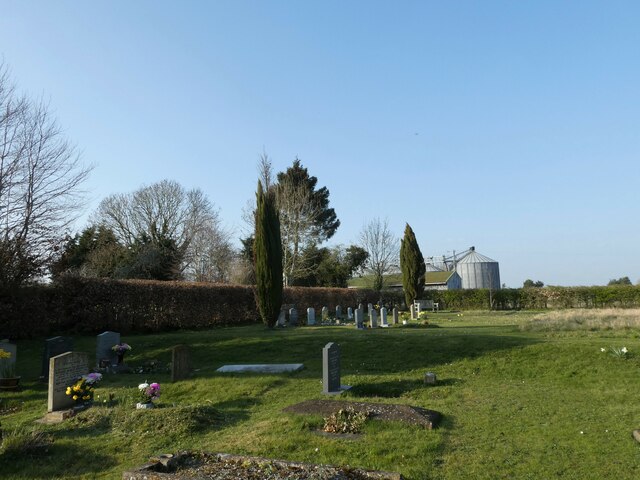
Baldon Wood Images
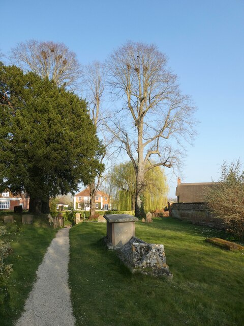
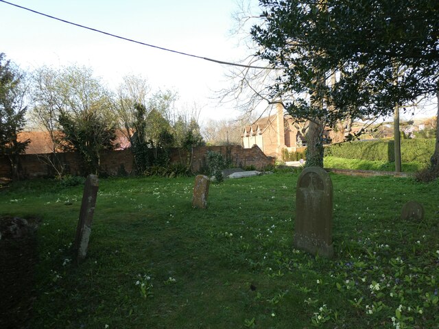
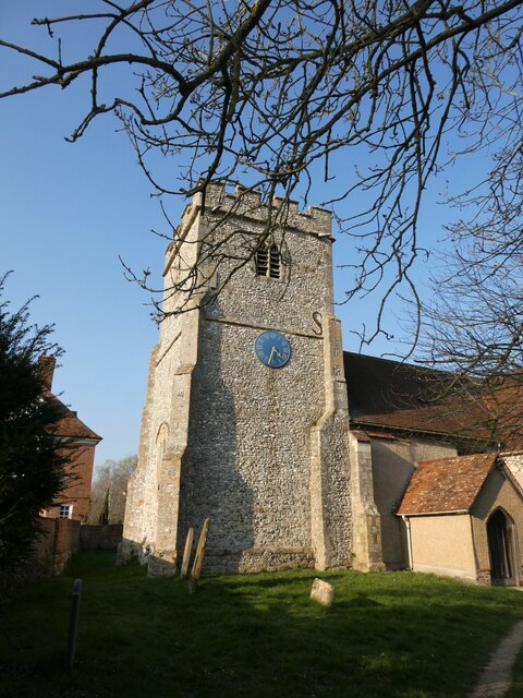
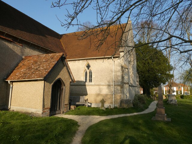
Images are sourced within 2km of 51.561119/-1.219154 or Grid Reference SU5484. Thanks to Geograph Open Source API. All images are credited.

Baldon Wood is located at Grid Ref: SU5484 (Lat: 51.561119, Lng: -1.219154)
Administrative County: Oxfordshire
District: South Oxfordshire
Police Authority: Thames Valley
What 3 Words
///freezing.catching.flick. Near Blewbury, Oxfordshire
Nearby Locations
Related Wikis

Blewburton Hill
Blewburton Hill is the site of an Iron Age hillfort located in Oxfordshire, in the southeast of England. It was a univallate hillfort (with a single rampart...

Blewbury
Blewbury is a village and civil parish at the foot of the Berkshire Downs section of the North Wessex Downs about 4 miles (6.4 km) south of Didcot, 14...

Aston Upthorpe Downs
Aston Upthorpe Downs is a 38.5-hectare (95-acre) biological Site of Special Scientific Interest south of Aston Upthorpe in Oxfordshire. It is a Nature...
Aston Upthorpe
Aston Upthorpe is a village and civil parish about 3 miles (5 km) southeast of Didcot in South Oxfordshire. It was part of Berkshire until the 1974 boundary...

Aston Tirrold
Aston Tirrold is a village and civil parish at the foot of the Berkshire Downs about 3 miles (5 km) southeast of Didcot. It was part of Berkshire until...

South Moreton Castle
South Moreton Castle was an 11th-century castle in the village of South Moreton, Oxfordshire, (historically in Berkshire until the 1974 reorganisation...
Upton, Vale of White Horse
Upton is a spring line village and civil parish at the foot of the Berkshire Downs, about 2 miles (3 km) south of Didcot in the Vale of the White Horse...
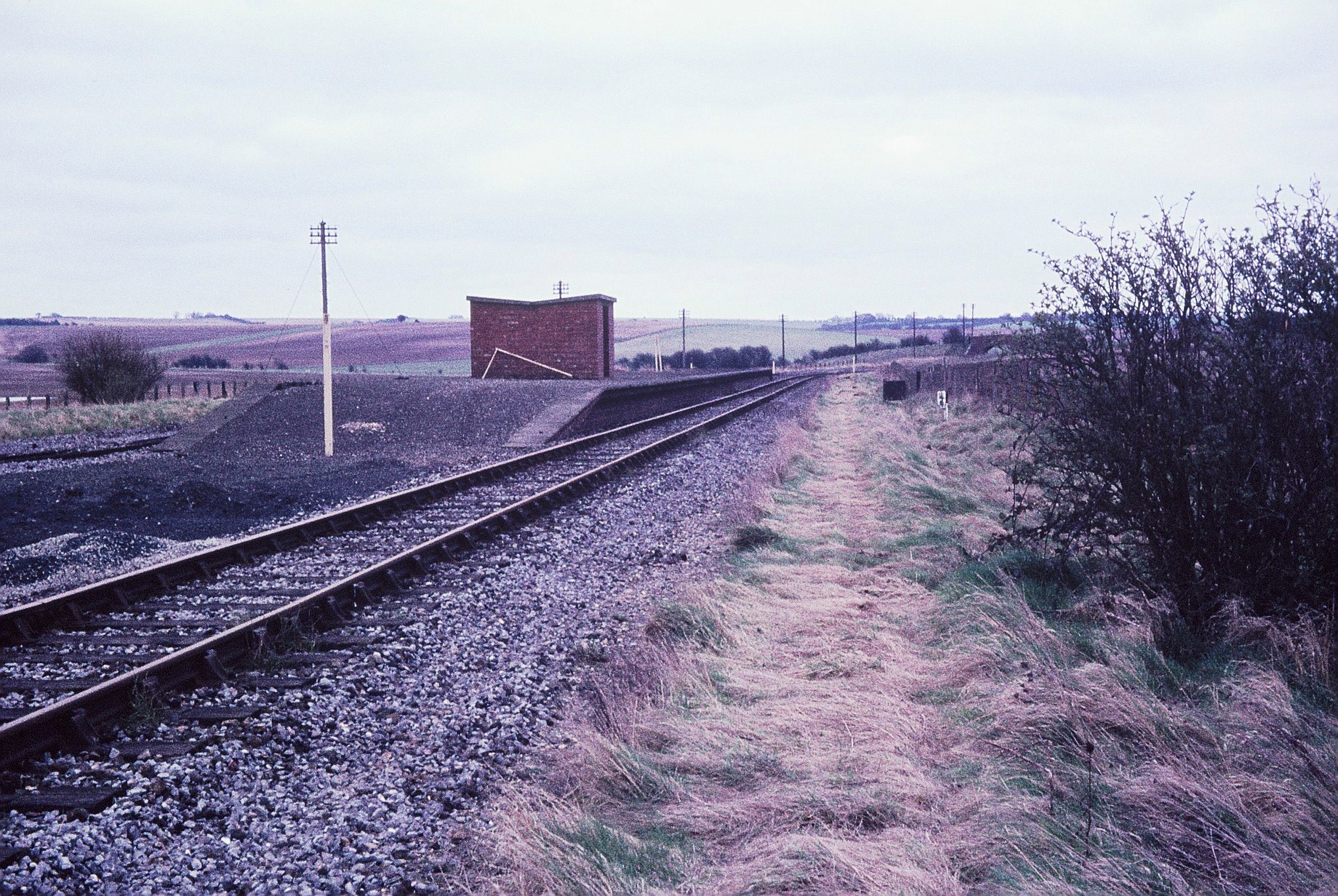
Churn railway station
Churn railway station was a station on the Didcot, Newbury and Southampton Railway in England. It served Churn Down, a remote part of the Berkshire Downs...
Nearby Amenities
Located within 500m of 51.561119,-1.219154Have you been to Baldon Wood?
Leave your review of Baldon Wood below (or comments, questions and feedback).