Elm Hag

Wood, Forest in Yorkshire Ryedale

England

Elm Hag

Preparing the ground Tractor at work in a field at Oldstead.
Preparing the ground Credit: Gordon Hatton

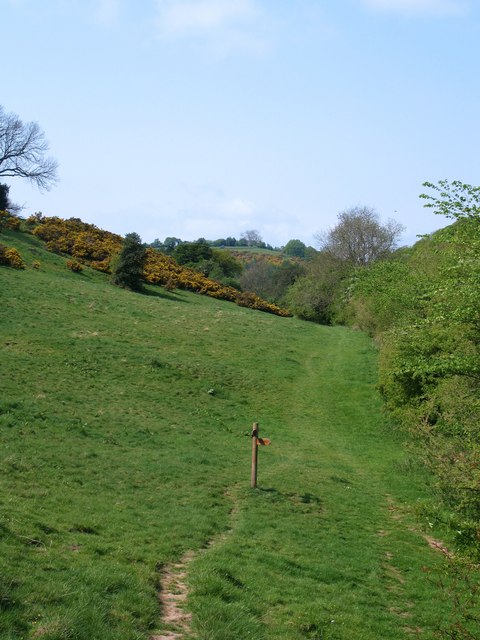
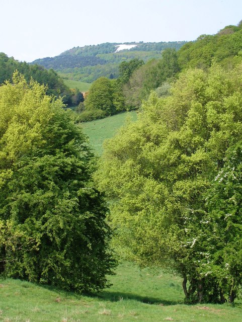
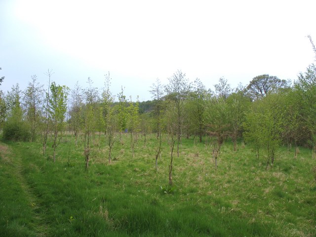
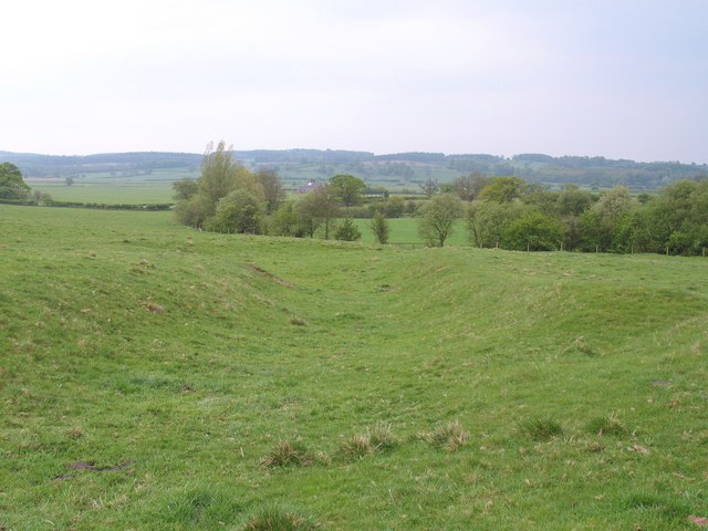
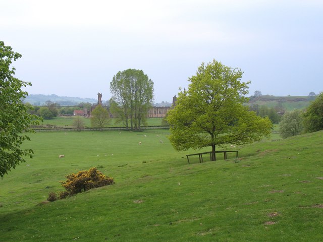
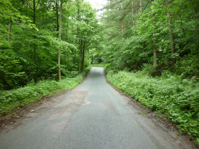
Elm Hag, Yorkshire, is a wooded area located in the northern part of England. It is renowned for its enchanting forest and picturesque scenery. The name "Elm Hag" refers to the abundance of elm trees that dominate the landscape, creating a unique and atmospheric environment.

This woodland is well-known for its diverse flora and fauna. The forest floor is carpeted with a variety of wildflowers, creating a vibrant and colorful display during the spring and summer months. The tall and ancient elm trees provide a canopy of shade, sheltering a range of wildlife species, including birds, squirrels, and deer.

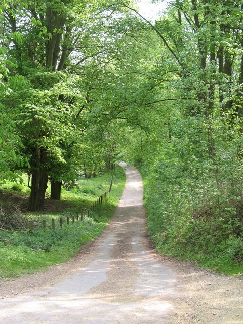
Elm Hag offers numerous walking trails that wind through the dense woodland. These trails provide visitors with the opportunity to immerse themselves in nature, breathing in the crisp forest air and listening to the soothing sounds of birdsong. The forest is a popular destination for nature enthusiasts, hikers, and photographers, who seek to capture the beauty of this tranquil retreat.

One notable feature of Elm Hag is the presence of a small stream that meanders through the forest, adding a touch of serenity to the surroundings. The gurgling water and moss-covered rocks create a peaceful ambiance that further enhances the natural beauty of this woodland.

Overall, Elm Hag, Yorkshire, is a captivating forest that offers a respite from the hustle and bustle of everyday life. Its enchanting atmosphere, diverse wildlife, and scenic trails make it a must-visit destination for those seeking solace in nature.

If you have any feedback on the listing, please let us know in the comments section below.
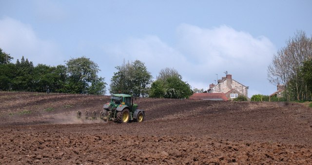
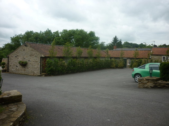
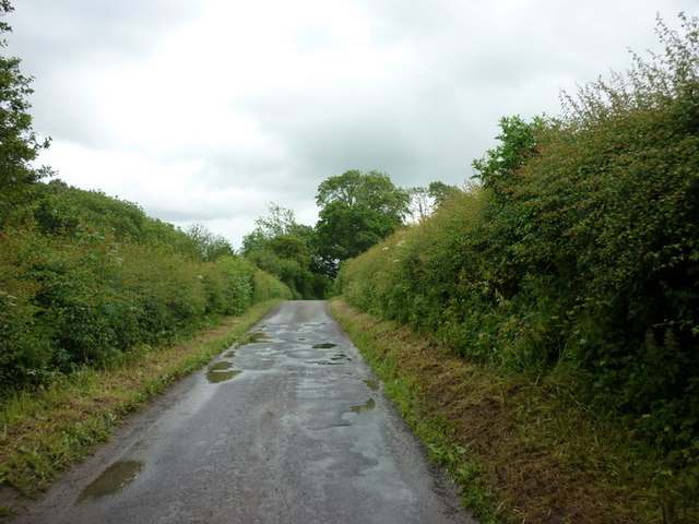
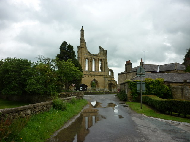
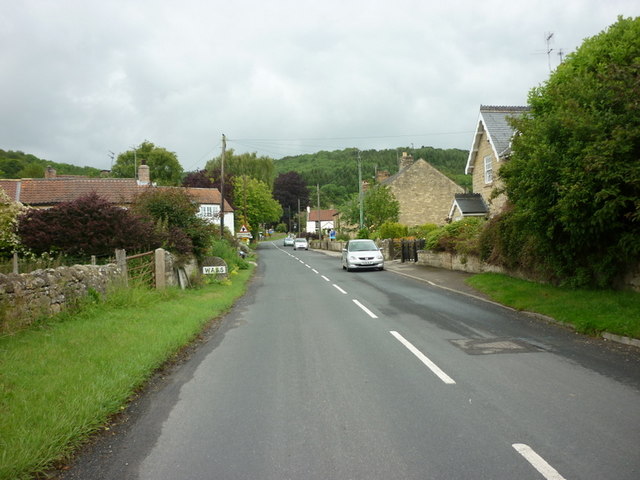
Elm Hag Images

Images are sourced within 2km of 54.211661/-1.1699924 or Grid Reference SE5479. Thanks to Geograph Open Source API. All images are credited.

Preparing the ground Tractor at work in a field at Oldstead.
Preparing the ground
Tractor at work in a field at Oldstead.
Path junction near Oldstead The post denotes the junction of two footpaths near Oldstead village.
Path junction near Oldstead
The post denotes the junction of two footpaths near Oldstead village.
Horse above the trees A view from the path between Oldstead and High Kilburn, with the Kilburn White Horse visible through a gap in the hills.
Horse above the trees
A view from the path between Oldstead and High Kilburn, with the Kilburn White Horse visible through a gap in the hills.
Young plantation near Cams Head The footpath from Fox Folly to Cams Head passes through this area of young trees.
Young plantation near Cams Head
The footpath from Fox Folly to Cams Head passes through this area of young trees.
Humps and bumps at Byland This large field to the west of the abbey is full of humps, bumps and depressions, all of which appear to be man made and one assumes part of the works associated with Byland Abbey. Despite a search of old maps and various websites, the nature of the earthworks remains a mystery.
Humps and bumps at Byland
This large field to the west of the abbey is full of humps, bumps and depressions, all of which appear to be man made and one assumes part of the works associated with Byland Abbey. Despite a search of old maps and various websites, the nature of the earthworks remains a mystery.
Path to the abbey Footpath that connects the west end of Wass village with Byland Abbey, which is visible in the distance. Beyond, and just visible centre picture is the tower of Coxwold parish church.
Path to the abbey
Footpath that connects the west end of Wass village with Byland Abbey, which is visible in the distance. Beyond, and just visible centre picture is the tower of Coxwold parish church.
Track into Wass The Lund Farm to Wass farm road, which is also a public right of way.
Track into Wass
The Lund Farm to Wass farm road, which is also a public right of way.
Tree shaded path, Kilburn This public footpath follows a thin strip of woodland carpeted by bluebells.
Tree shaded path, Kilburn
This public footpath follows a thin strip of woodland carpeted by bluebells.
The farm at Fox Folly
Scencliffe Grange near Oldstead
The Black Swan, Oldstead
The road from Oldstead to Byland Abbey
Byland Abbey
Byland Abbey
The village of Wass
The village of Wass
Heading up Wass Bank towards the A170
Byland Abbey Part of the ruins of Byland Abbey seen across the walls from the road to Coxwold.
Byland Abbey
Part of the ruins of Byland Abbey seen across the walls from the road to Coxwold.
Byland Abbey Byland Abbey is a ruined abbey in the Ryedale district of North Yorkshire

It was founded as a Savigniac abbey in January 1135 and was absorbed by the Cistercian order in 1147. It was dissolved on 30 November 1538

Impressive remains  of monastic buildings, standing to height of approximately 5 metres in places, including the lower half of a huge rose window can still be seen. The site, listed as a Scheduled Ancient Monument <span class="nowrap"><a title="http://www.britishlistedbuildings.co.uk/en-329579-byland-abbey-byland-with-wass" rel="nofollow ugc noopener" href="http://www.britishlistedbuildings.co.uk/en-329579-byland-abbey-byland-with-wass">Link</a><img style="margin-left:2px;" alt="External link" title="External link - shift click to open in new window" src="https://s1.geograph.org.uk/img/external.png" width="10" height="10"/></span> , is in the care of English Heritage, 

<span class="nowrap"><a title="http://www.english-heritage.org.uk/daysout/properties/byland-abbey/" rel="nofollow ugc noopener" href="http://www.english-heritage.org.uk/daysout/properties/byland-abbey/">Link</a><img style="margin-left:2px;" alt="External link" title="External link - shift click to open in new window" src="https://s1.geograph.org.uk/img/external.png" width="10" height="10"/></span> - English Heritage Byland Abbey
Byland Abbey
Byland Abbey is a ruined abbey in the Ryedale district of North Yorkshire It was founded as a Savigniac abbey in January 1135 and was absorbed by the Cistercian order in 1147. It was dissolved on 30 November 1538 Impressive remains of monastic buildings, standing to height of approximately 5 metres in places, including the lower half of a huge rose window can still be seen. The site, listed as a Scheduled Ancient Monument LinkExternal link , is in the care of English Heritage, LinkExternal link - English Heritage Byland Abbey
Byland Abbey Inn The Inn is a conversion of a 19th century farmhouse which stood here (on the site of a mediæval hostelry) opposite Byland Abbey (<a href="https://www.geograph.org.uk/photo/2555805">SE5478 : Byland Abbey</a>). The building uses stonework "borrowed" from the abbey.

The Inn, which is run by English Heritage, is not currently operating as a bar and restaurant but is still offering Bed and Breakfast accommodation and wedding facilities.
Byland Abbey Inn
The Inn is a conversion of a 19th century farmhouse which stood here (on the site of a mediæval hostelry) opposite Byland Abbey (SE5478 : Byland Abbey). The building uses stonework "borrowed" from the abbey. The Inn, which is run by English Heritage, is not currently operating as a bar and restaurant but is still offering Bed and Breakfast accommodation and wedding facilities.
Show me another place!

Elm Hag is located at Grid Ref: SE5479 (Lat: 54.211661, Lng: -1.1699924)

Division: North Riding

Administrative County: North Yorkshire

District: Ryedale

Police Authority: North Yorkshire

What 3 Words

///slide.potato.digitally. Near Helmsley, North Yorkshire

Related Wikis

The Black Swan, Oldstead

The Black Swan is a restaurant with rooms at Oldstead, in North Yorkshire, England which provides food, drink and accommodation. Its restaurant, run by...

Byland with Wass

Byland with Wass is a civil parish in the Ryedale district of North Yorkshire, England. According to the 2001 census it had a population of 120, increasing...
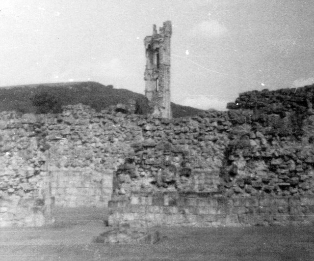
Stocking Abbey

Stocking Abbey was an abbey in the village of Oldstead, North Yorkshire, England.The abbey at Stocking was built in 1147, originally for Savigniac monks...
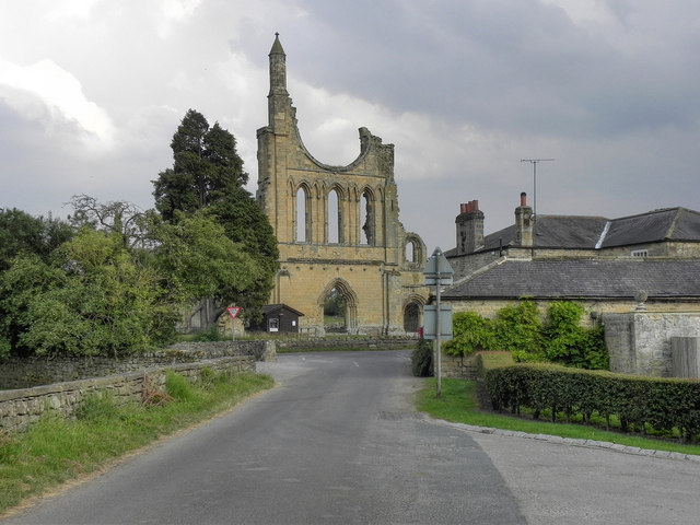
Byland Abbey

Byland Abbey is a ruined abbey and a small village in the Ryedale district of North Yorkshire, England, in the North York Moors National Park. == History... ==

Oldstead

Oldstead is a village and a civil parish in Ryedale district, North Yorkshire, England, within the North York Moors National Park, off the A170 road between...

Wass, North Yorkshire

Wass is a village in the civil parish of Byland with Wass, in North Yorkshire, England, in the North York Moors National Park. A short distance from the...

Stanbrook Abbey

Stanbrook Abbey is a Catholic contemplative Benedictine Monastery with the status of an abbey, located at Wass, North Yorkshire, England. The community...

Battle of Old Byland

The Battle of Old Byland (also known as the Battle of Byland Abbey, the Battle of Byland Moor and the Battle of Scotch Corner) was a significant encounter...

Nearby Amenities

Located within 500m of 54.211661,-1.1699924
The data included in this document is from www.openstreetmap.org. The data is made available under ODbL.

Have you been to Elm Hag?

Leave your review of Elm Hag below (or comments, questions and feedback).