Grumble Bottom
Valley in Berkshire South Oxfordshire
England
Grumble Bottom
Grumble Bottom, Berkshire (Valley) is a picturesque rural area located in the county of Berkshire, England. Situated in the southern part of the county, it is known for its stunning natural beauty and tranquil atmosphere. With a population of around 500 residents, it is a close-knit community that prides itself on its strong sense of community spirit.
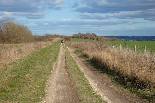
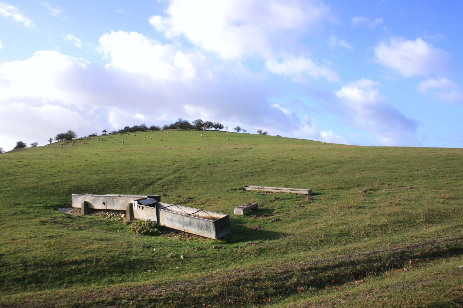
The valley is surrounded by rolling hills, lush green meadows, and dense woodlands, providing a haven for wildlife and nature enthusiasts. The River Grumble flows through the valley, adding to its scenic charm. Many visitors are drawn to Grumble Bottom for its breathtaking landscapes, making it a popular destination for hiking, cycling, and photography.
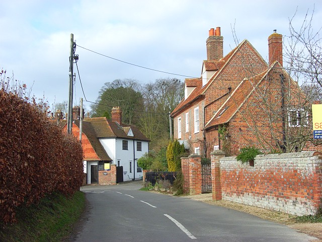
The village itself is quaint and idyllic, with charming cottages and traditional buildings. The local architecture reflects the area's rich history, with some structures dating back several centuries. The village also boasts a small but vibrant high street, with a handful of local shops, cafes, and pubs that cater to both residents and tourists.
The community in Grumble Bottom is known for its warm and friendly nature. Regular events and activities are organized, including summer fetes, village fairs, and community gatherings. The residents take pride in maintaining the area's natural beauty and have implemented measures to preserve the local environment.
Overall, Grumble Bottom, Berkshire (Valley) offers a peaceful retreat from the hustle and bustle of city life. Whether it's exploring the stunning landscapes, immersing oneself in the local culture, or simply enjoying the tranquility of the countryside, visitors are sure to find solace in this charming valley.
If you have any feedback on the listing, please let us know in the comments section below.
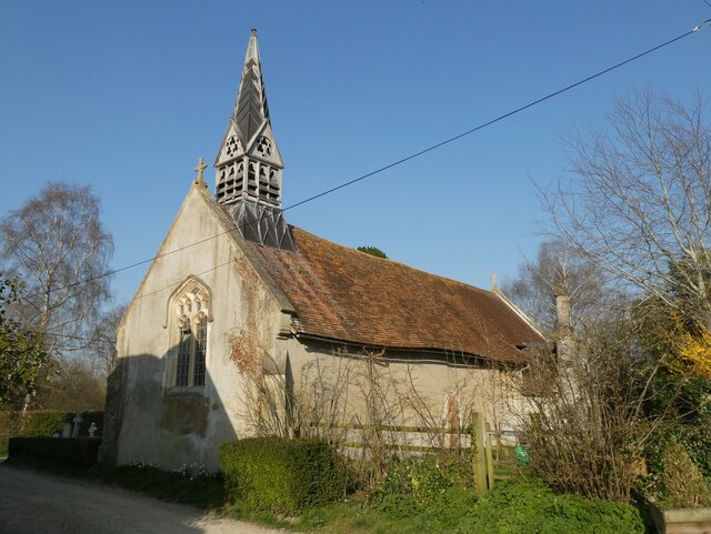
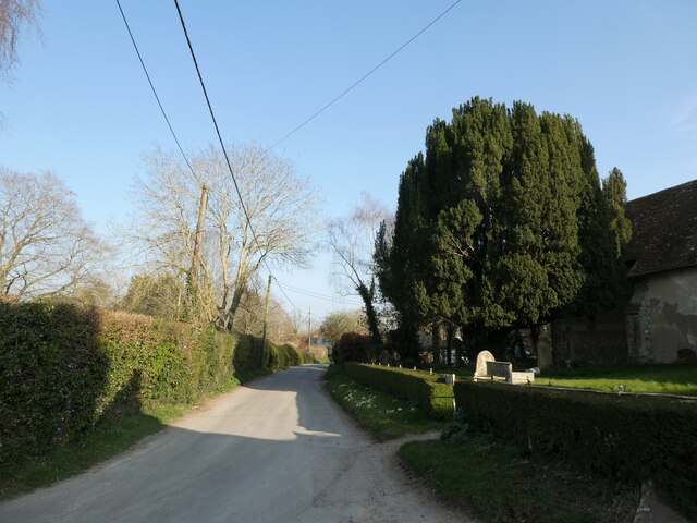
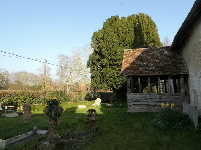
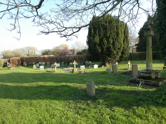
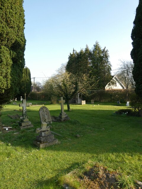
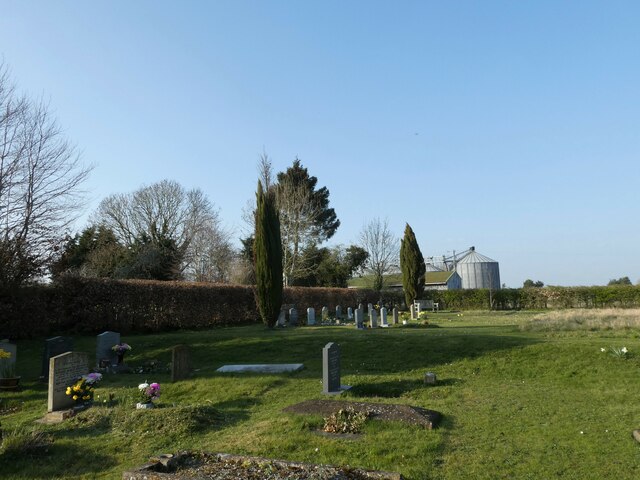
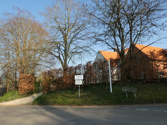
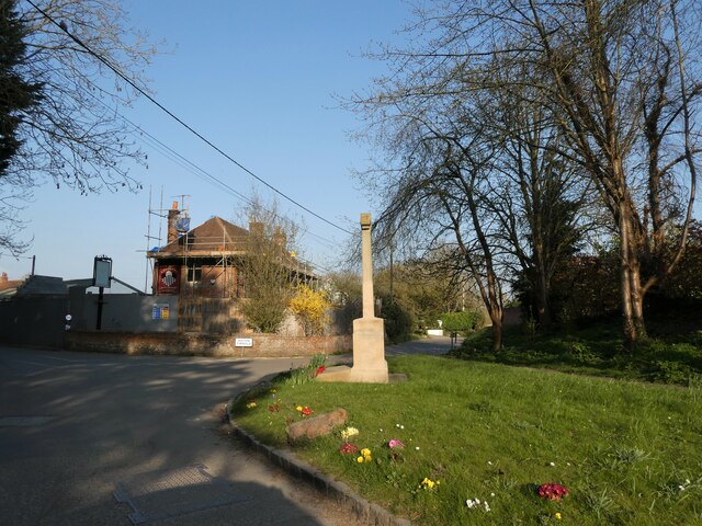
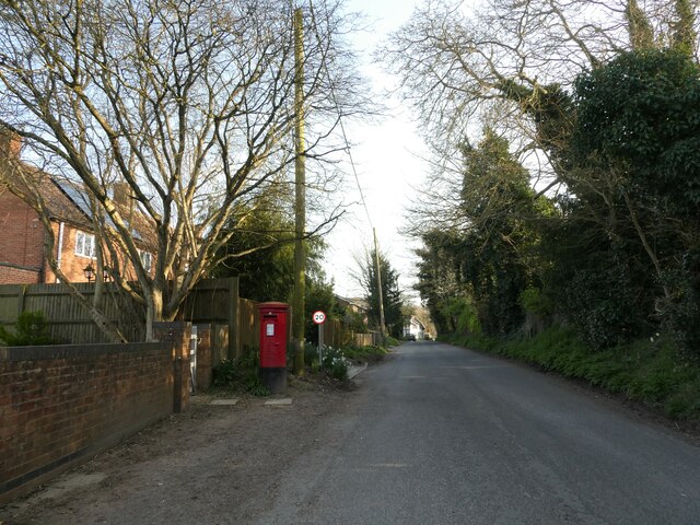
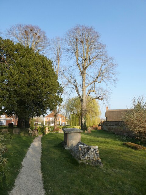
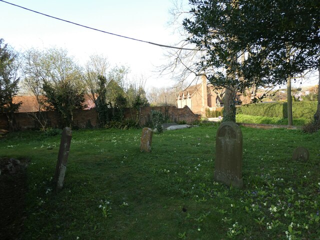
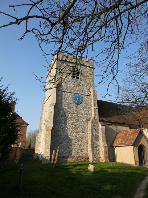
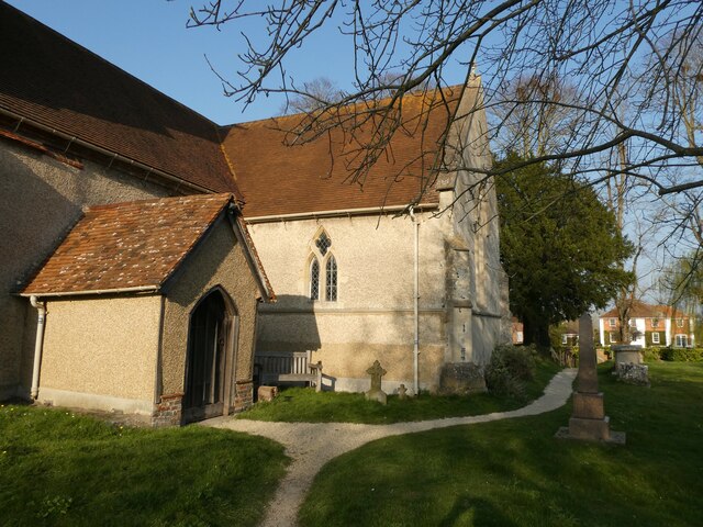
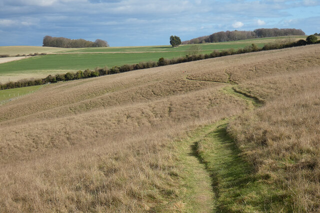
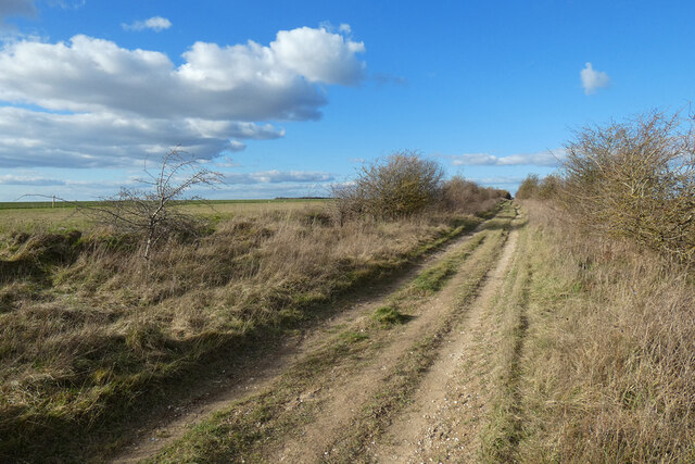
Grumble Bottom Images
Images are sourced within 2km of 51.55534/-1.2087811 or Grid Reference SU5484. Thanks to Geograph Open Source API. All images are credited.

Grumble Bottom is located at Grid Ref: SU5484 (Lat: 51.55534, Lng: -1.2087811)
Administrative County: Oxfordshire
District: South Oxfordshire
Police Authority: Thames Valley
What 3 Words
///midwinter.sued.strange. Near Blewbury, Oxfordshire
Nearby Locations
Related Wikis

Aston Upthorpe Downs
Aston Upthorpe Downs is a 38.5-hectare (95-acre) biological Site of Special Scientific Interest south of Aston Upthorpe in Oxfordshire. It is a Nature...

Aston Tirrold
Aston Tirrold is a village and civil parish at the foot of the Berkshire Downs about 3 miles (5 km) southeast of Didcot. It was part of Berkshire until...

Blewburton Hill
Blewburton Hill is the site of an Iron Age hillfort located in Oxfordshire, in the southeast of England. It was a univallate hillfort (with a single rampart...
Aston Upthorpe
Aston Upthorpe is a village and civil parish about 3 miles (5 km) southeast of Didcot in South Oxfordshire. It was part of Berkshire until the 1974 boundary...

Blewbury
Blewbury is a village and civil parish at the foot of the Berkshire Downs section of the North Wessex Downs about 4 miles (6.4 km) south of Didcot, 14...

Battle of Ashdown
The Battle of Ashdown was a West Saxon victory over a Danish Viking army on about 8 January 871. The location of Ashdown is not known, but may be Kingstanding...
Moulsford Downs
Moulsford Downs is a 13.6-hectare (34-acre) biological Site of Special Scientific Interest north-west of Goring-on-Thames in Oxfordshire.This chalk grassland...

Streatley Warren
Streatley Warren is a 31.3-hectare (77-acre) biological Site of Special Scientific Interest west of Streatley in Berkshire. It is in the North Wessex Downs...
Nearby Amenities
Located within 500m of 51.55534,-1.2087811Have you been to Grumble Bottom?
Leave your review of Grumble Bottom below (or comments, questions and feedback).