Sheepcote Bottom
Valley in Berkshire South Oxfordshire
England
Sheepcote Bottom
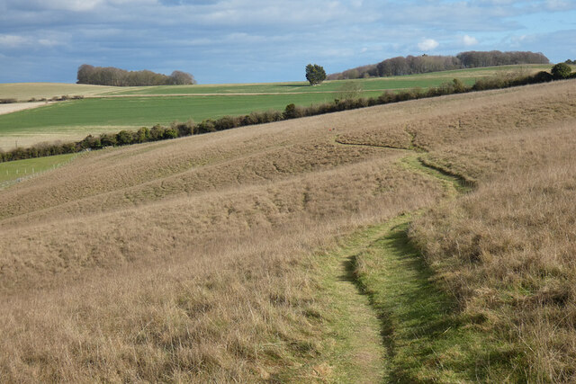
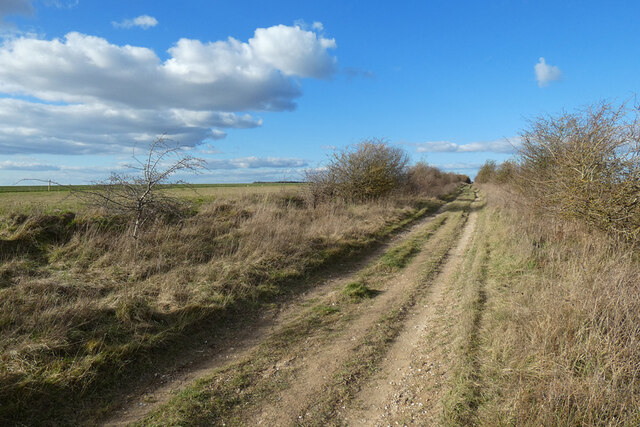
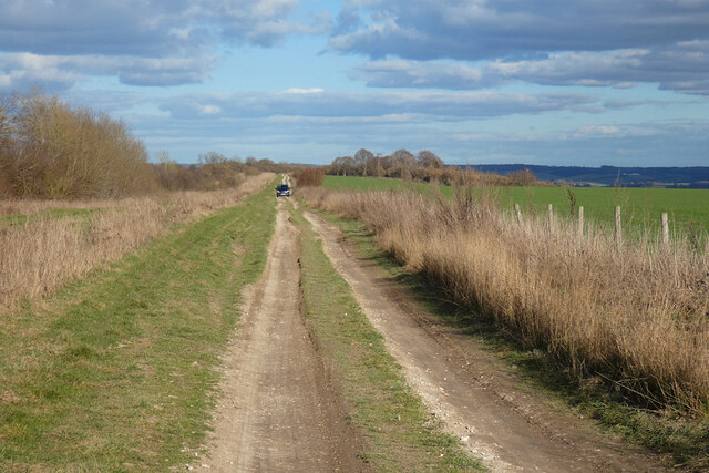
Sheepcote Bottom is a picturesque valley located in the county of Berkshire, England. Nestled amidst rolling hills and scenic landscapes, this area is renowned for its natural beauty and tranquil atmosphere. The valley is situated in the southern part of the county, near the village of Lambourn, and covers a vast area of lush green fields and meadows.
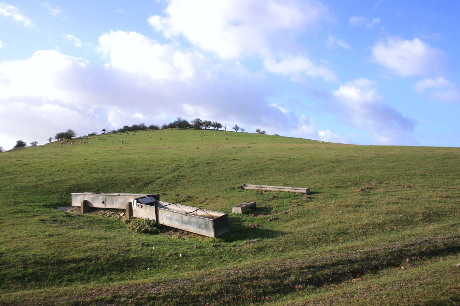
As the name suggests, Sheepcote Bottom has a rich agricultural heritage and is predominantly used for grazing sheep. The valley is home to numerous flocks of sheep, which can be seen peacefully grazing on the grassy slopes. This pastoral scene adds to the charm of the area and attracts visitors who are seeking a peaceful and idyllic countryside experience.
The valley is also intersected by a small stream, which meanders through the landscape, providing a source of water for both the animals and the surrounding flora and fauna. The stream adds to the tranquility of the valley, creating a soothing ambiance as it gently flows through the green pastures.
Sheepcote Bottom is a popular destination for outdoor enthusiasts and nature lovers who enjoy activities such as hiking, birdwatching, and photography. The valley offers a variety of walking trails, allowing visitors to explore the area and soak in the breathtaking views of the surrounding countryside.
In addition to its natural beauty, Sheepcote Bottom is also known for its historical significance. The valley was once a part of the ancient Ridgeway Path, an old trade route dating back to prehistoric times. Today, remnants of this historic path can still be seen, adding an interesting historical dimension to the area.
Overall, Sheepcote Bottom is a picturesque valley in Berkshire, offering a serene countryside experience with its lush green fields, grazing sheep, meandering stream, and historical significance.
If you have any feedback on the listing, please let us know in the comments section below.
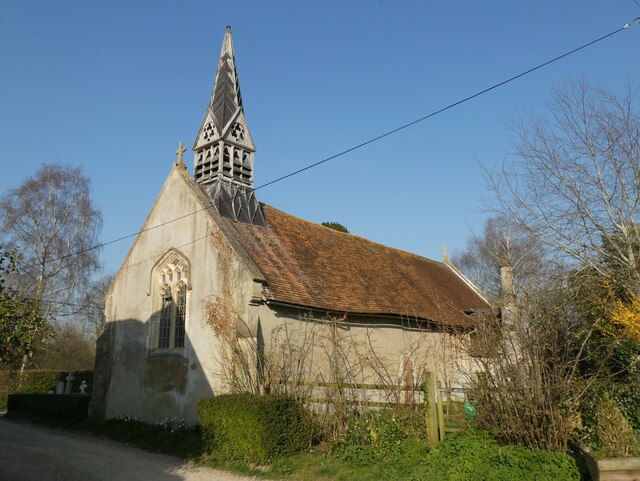
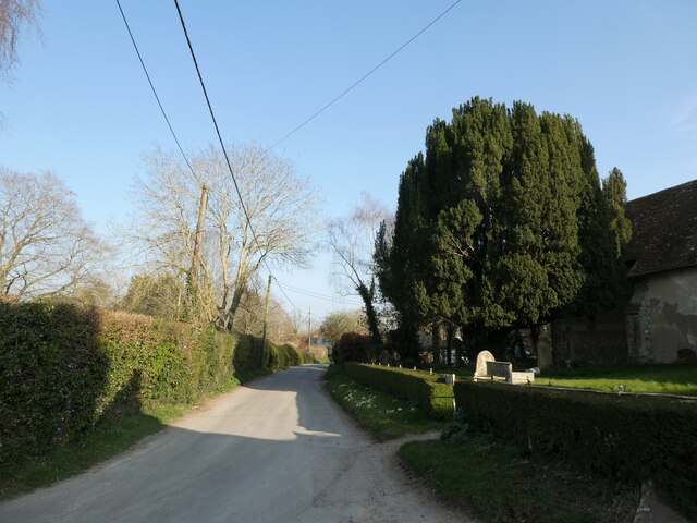
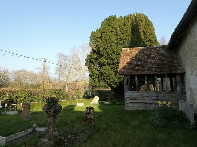
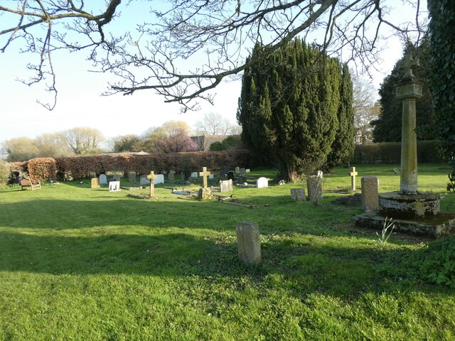
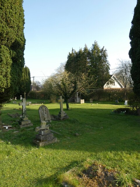
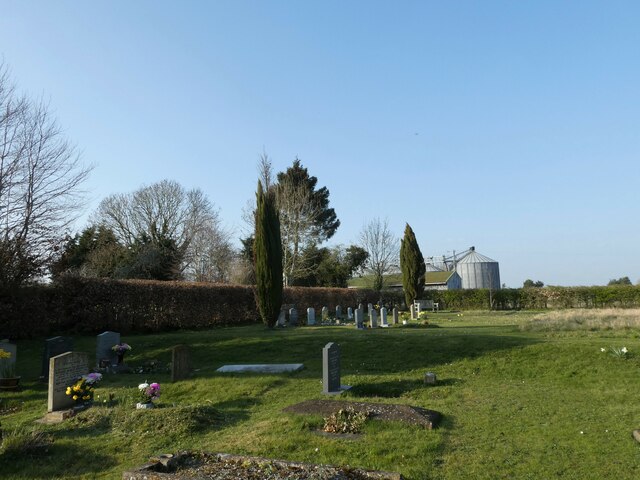
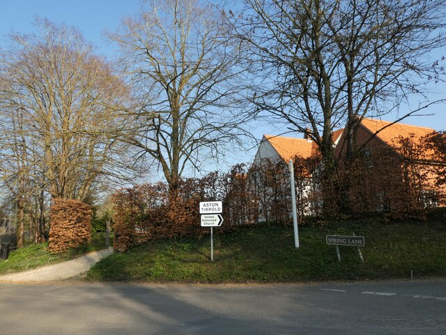
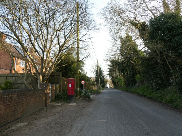
Sheepcote Bottom Images
Images are sourced within 2km of 51.55492/-1.2145435 or Grid Reference SU5484. Thanks to Geograph Open Source API. All images are credited.


Sheepcote Bottom is located at Grid Ref: SU5484 (Lat: 51.55492, Lng: -1.2145435)
Administrative County: Oxfordshire
District: South Oxfordshire
Police Authority: Thames Valley
What 3 Words
///idealist.exit.king. Near Blewbury, Oxfordshire
Nearby Locations
Related Wikis

Aston Upthorpe Downs
Aston Upthorpe Downs is a 38.5-hectare (95-acre) biological Site of Special Scientific Interest south of Aston Upthorpe in Oxfordshire. It is a Nature...

Blewburton Hill
Blewburton Hill is the site of an Iron Age hillfort located in Oxfordshire, in the southeast of England. It was a univallate hillfort (with a single rampart...

Aston Tirrold
Aston Tirrold is a village and civil parish at the foot of the Berkshire Downs about 3 miles (5 km) southeast of Didcot. It was part of Berkshire until...

Blewbury
Blewbury is a village and civil parish at the foot of the Berkshire Downs section of the North Wessex Downs about 4 miles (6.4 km) south of Didcot, 14...
Aston Upthorpe
Aston Upthorpe is a village and civil parish about 3 miles (5 km) southeast of Didcot in South Oxfordshire. It was part of Berkshire until the 1974 boundary...

Battle of Ashdown
The Battle of Ashdown was a West Saxon victory over a Danish Viking army on about 8 January 871. The location of Ashdown is not known, but may be Kingstanding...
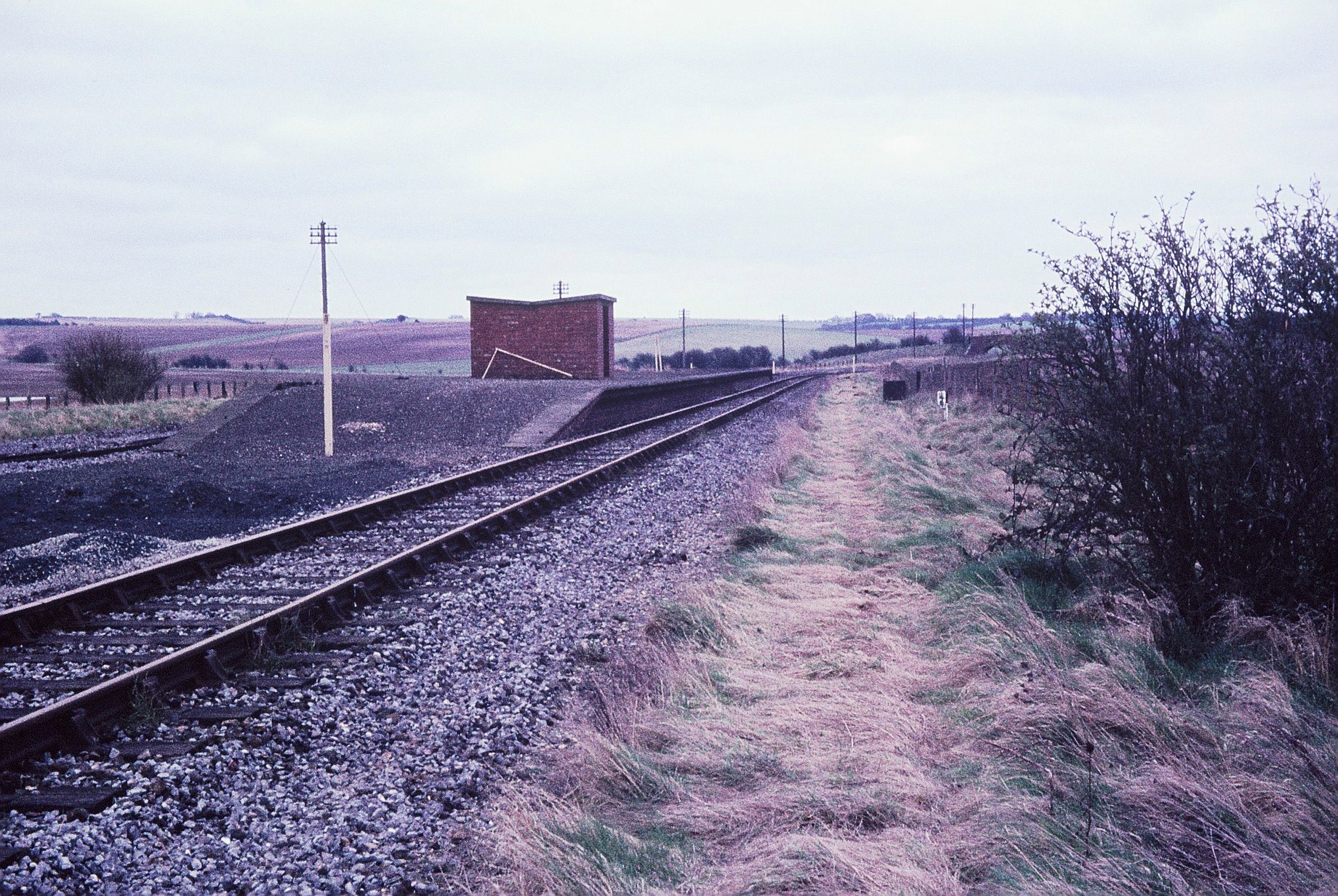
Churn railway station
Churn railway station was a station on the Didcot, Newbury and Southampton Railway in England. It served Churn Down, a remote part of the Berkshire Downs...
Moulsford Downs
Moulsford Downs is a 13.6-hectare (34-acre) biological Site of Special Scientific Interest north-west of Goring-on-Thames in Oxfordshire.This chalk grassland...
Nearby Amenities
Located within 500m of 51.55492,-1.2145435Have you been to Sheepcote Bottom?
Leave your review of Sheepcote Bottom below (or comments, questions and feedback).