Motslow Hill

Hill, Mountain in Warwickshire Warwick

England

Motslow Hill

Birds of a Feather... Two crows taking off. Stoneleigh Park, Warwickshire.
Birds of a Feather... Credit: Phil and Juliette Platt

Motslow Hill is a prominent geographical feature located in Warwickshire, England. It is classified as a hill rather than a mountain due to its relatively modest elevation. The hill is situated in the southern part of the county, near the village of Motslow.

With a peak reaching an altitude of approximately 213 meters (700 feet), Motslow Hill stands as one of the highest points in the immediate region. Its strategic location offers stunning panoramic views of the surrounding countryside, making it a popular destination for hikers and nature enthusiasts.

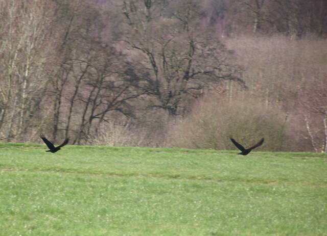
The hill is characterized by its gentle slopes and lush vegetation, primarily consisting of grasslands and scattered trees. Its fertile soil supports a diverse range of plants and flowers, attracting various wildlife species. Visitors to Motslow Hill can expect to encounter a variety of birds, butterflies, and small mammals.

Motslow Hill has a rich history dating back centuries. It is believed that the hill was once a site of ancient settlements or fortifications, although there is limited archaeological evidence to substantiate this claim. Nevertheless, its historical significance adds to its appeal for those interested in the area's past.

Access to Motslow Hill is relatively straightforward, with a well-maintained footpath leading to the summit. The hill's accessibility, combined with its natural beauty and historical allure, makes it a popular destination for both locals and tourists seeking a tranquil escape in the heart of Warwickshire.

If you have any feedback on the listing, please let us know in the comments section below.
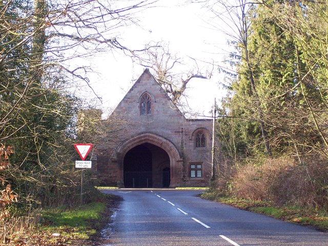
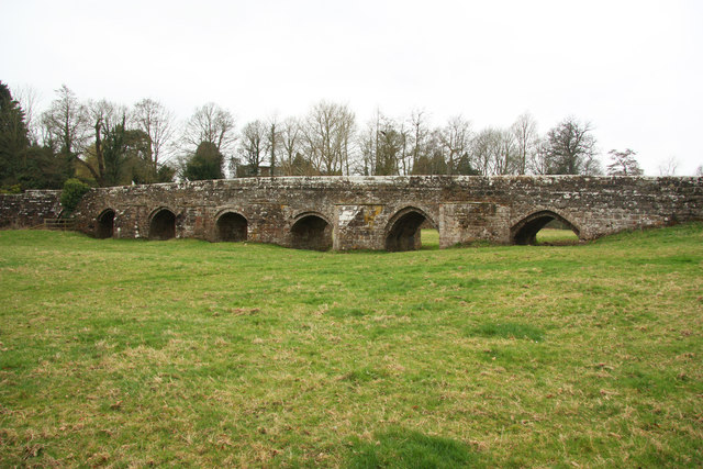
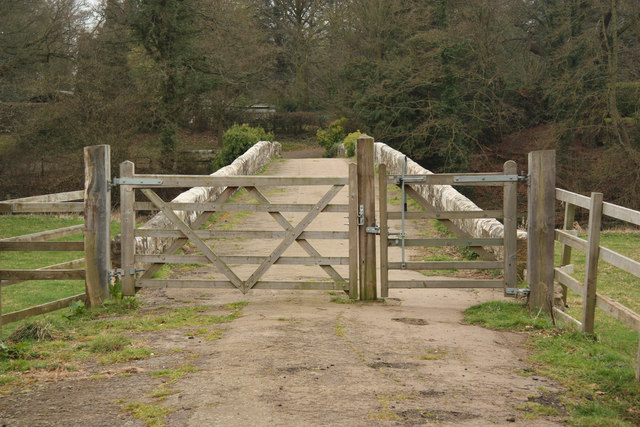
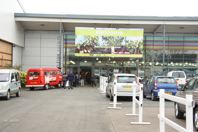
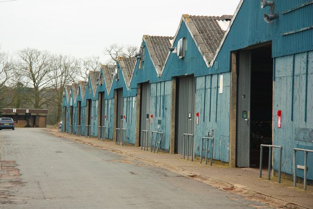
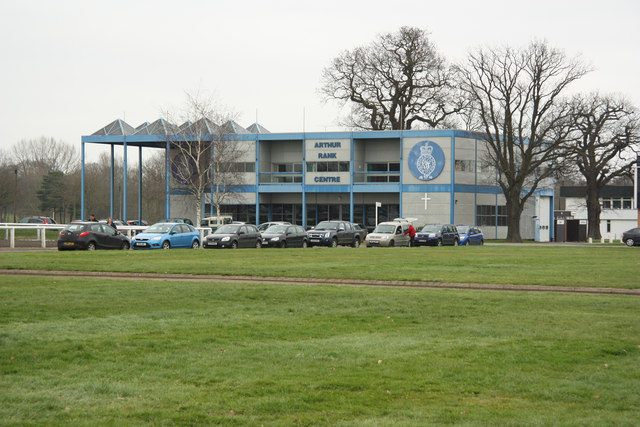
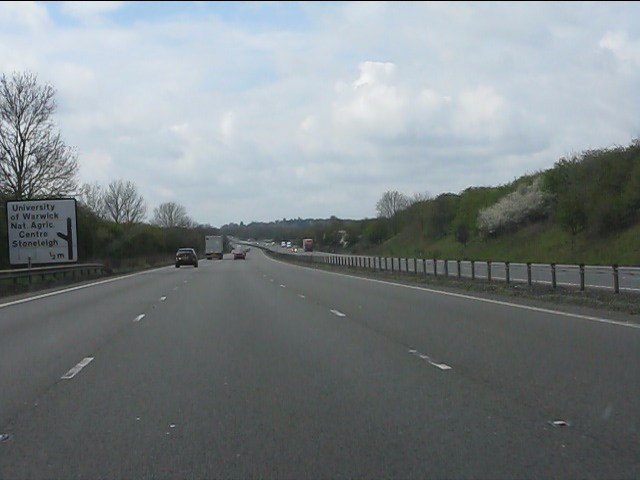
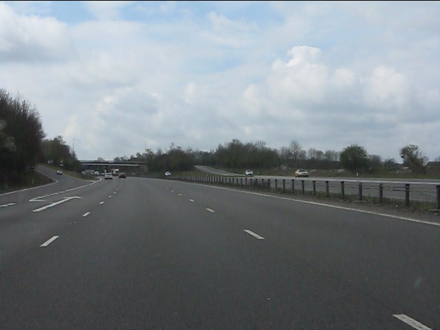
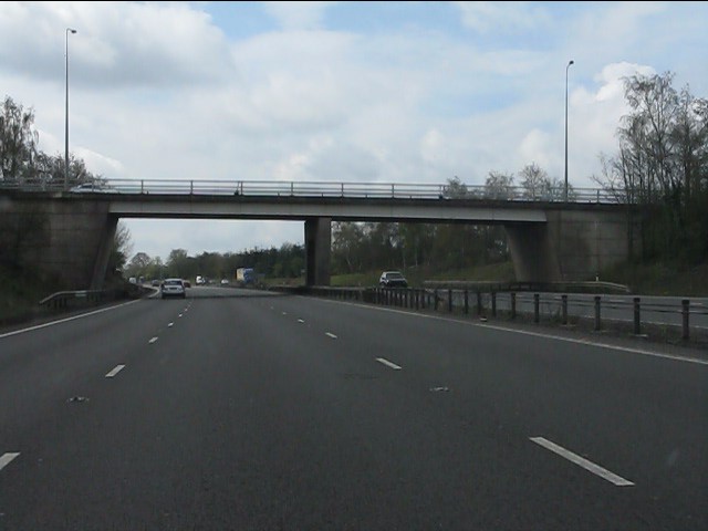
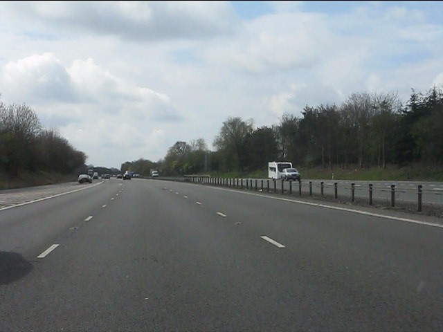
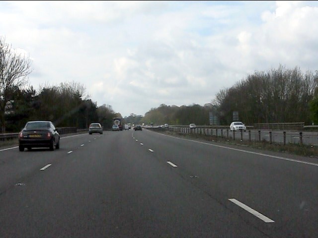
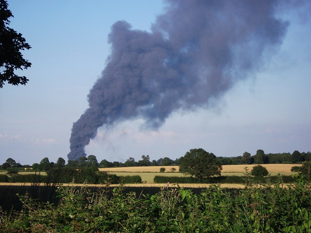
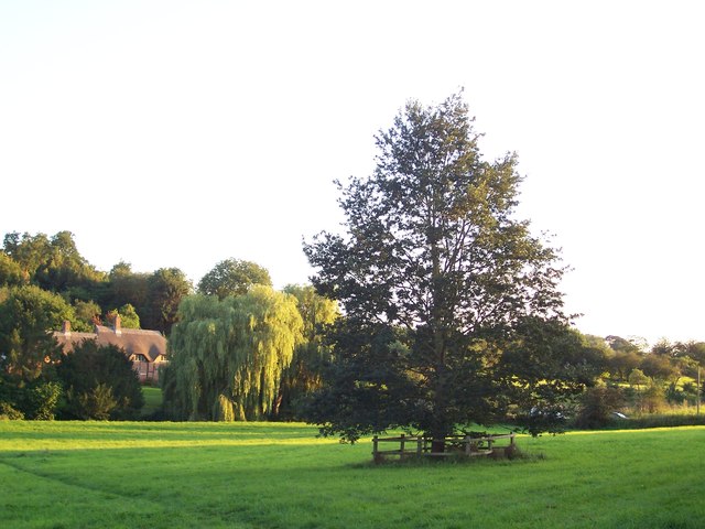
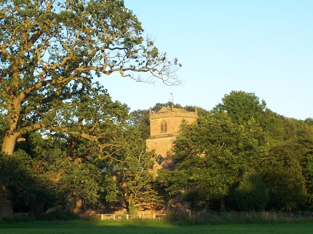
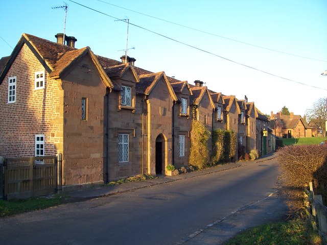
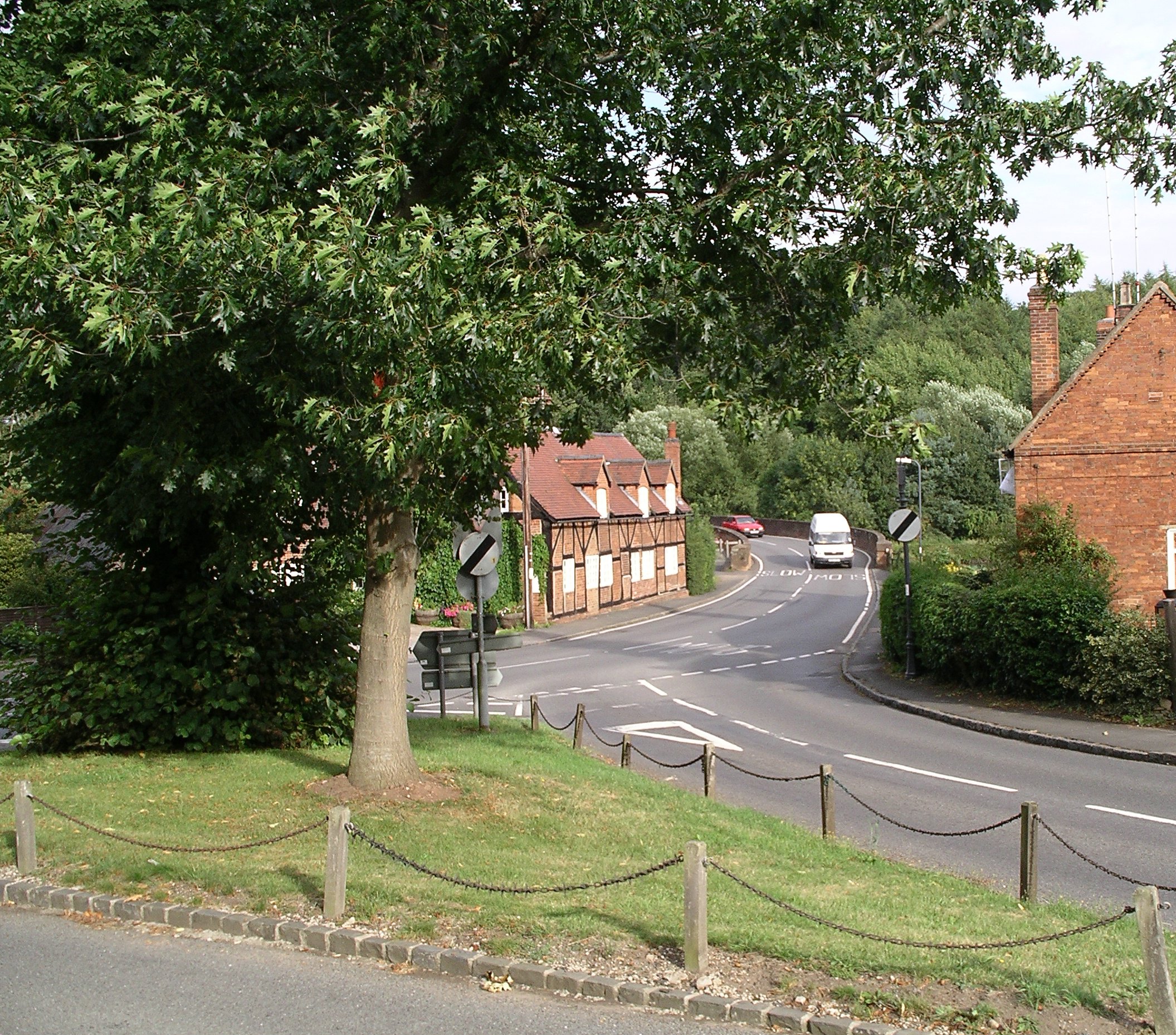
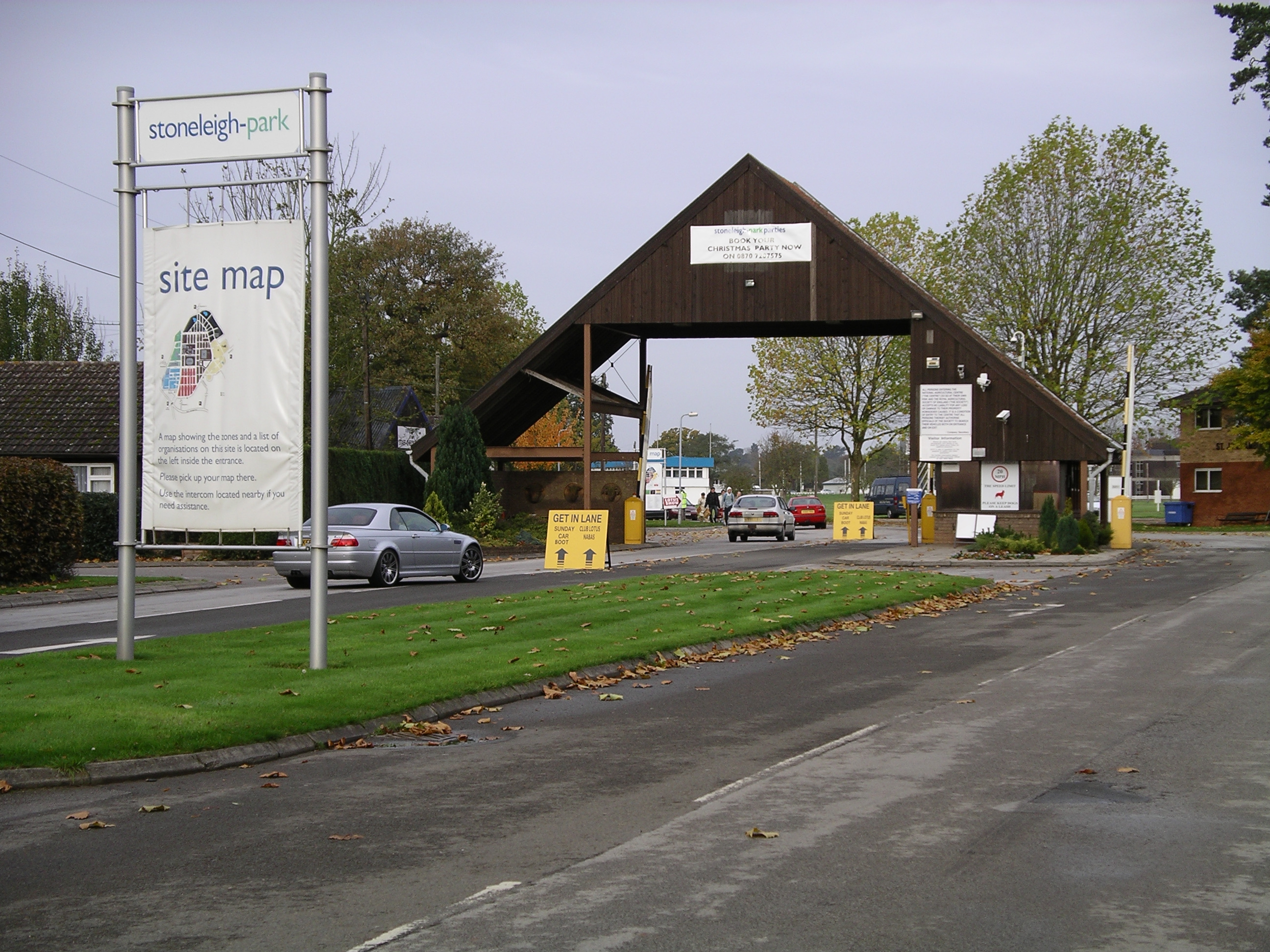
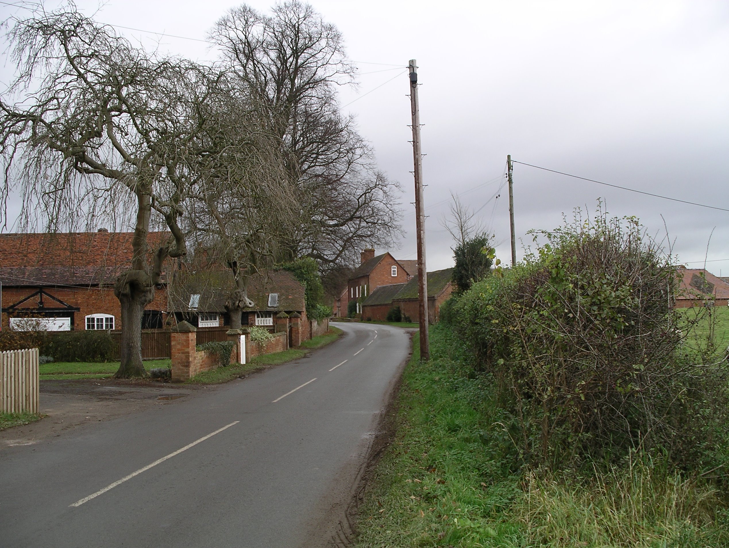
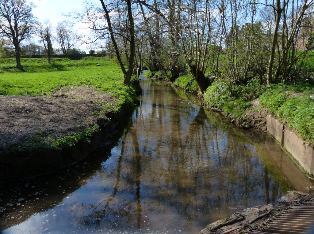
Motslow Hill Images

Images are sourced within 2km of 52.348107/-1.5144492 or Grid Reference SP3372. Thanks to Geograph Open Source API. All images are credited.

Birds of a Feather... Two crows taking off. Stoneleigh Park, Warwickshire.
Birds of a Feather...
Two crows taking off. Stoneleigh Park, Warwickshire.
Tantara Lodge Once a gatehouse for Stoneleigh Abbey, it now sits on the fringe of Stoneleigh Golf Course.
Tantara Lodge
Once a gatehouse for Stoneleigh Abbey, it now sits on the fringe of Stoneleigh Golf Course.
Stare Bridge Grade II* listed, 15th century bridge across the River Avon and floodplain, it is one of the finest surviving examples of a medieval bridge. Only 10ft wide, it has long-since been replaced by a newer bridge and the road diverted.
Stare Bridge
Grade II* listed, 15th century bridge across the River Avon and floodplain, it is one of the finest surviving examples of a medieval bridge. Only 10ft wide, it has long-since been replaced by a newer bridge and the road diverted.
Stare Bridge Footpath across the 15th century Stare Bridge <a title="https://www.geograph.org.uk/photo/2853236" href="https://www.geograph.org.uk/photo/2853236">Link</a> at Stoneleigh Park
Stare Bridge
Footpath across the 15th century Stare Bridge Link at Stoneleigh Park
Edible Garden Show The Edible Garden Show <span class="nowrap"><a title="http://www.theediblegardenshow.co.uk/" rel="nofollow ugc noopener" href="http://www.theediblegardenshow.co.uk/">Link</a><img style="margin-left:2px;" alt="External link" title="External link - shift click to open in new window" src="https://s1.geograph.org.uk/img/external.png" width="10" height="10"/></span> at Stoneleigh Park
Edible Garden Show
The Edible Garden Show LinkExternal link at Stoneleigh Park
VW Camper van Daily Mirror promotional vehicle at the Edible Garden Show <a title="https://www.geograph.org.uk/photo/2853272" href="https://www.geograph.org.uk/photo/2853272">Link</a>
VW Camper van
Daily Mirror promotional vehicle at the Edible Garden Show Link
Farmers Weekly Farmers Weekly (featuring 'Poultry World' and 'Crops' magazine) building at Stoneleigh Park
Farmers Weekly
Farmers Weekly (featuring 'Poultry World' and 'Crops' magazine) building at Stoneleigh Park
Stoneleigh Park Sheds at Stoneleigh Park conference and exhibition centre
Stoneleigh Park
Sheds at Stoneleigh Park conference and exhibition centre
The Arthur Rank Centre Headquarters of the ecumenical Christian charity founded in 1972, serving the spiritual needs of rural Christian communities. Named after Arthur J Rank who donated the original building at Stoneleigh Park
The Arthur Rank Centre
Headquarters of the ecumenical Christian charity founded in 1972, serving the spiritual needs of rural Christian communities. Named after Arthur J Rank who donated the original building at Stoneleigh Park
A46 - half-mile to Stoneleigh exit
A46 - Stoneleigh junction A classic "diamond" junction.
A46 - Stoneleigh junction
A classic "diamond" junction.
A46 - Stoneleigh junction bridge
A46 south of Stoneleigh junction
A46 at Crew Lane bridge
View of Coventry fire from Crew Lane, Kenilworth Looking from Crew Lane, Kenilworth, showing the huge plume of smoke which was rising from a blaze at the warehouse of Ney Ltd, Siskin Drive, Coventry (in SP3675). News reports said that fire crews rushed to the scene next to Coventry Airport, at about 5pm. This photo was taken at about 6.45pm. More than 100 firefighters, with 15 fire engines fought the blaze. The smoke was visible from many miles away - news reports said it was visible from the M1 and the Belfry near Sutton Coldfield, whilst I saw it from Longbridge on the M40 south of Warwick.

The Ney Ltd building (before the fire) can be seen in the background of Robin Stott's photo here: <a href="https://www.geograph.org.uk/photo/1697223">SP3675 : Middlemarch over the Avon</a>
View of Coventry fire from Crew Lane, Kenilworth
Looking from Crew Lane, Kenilworth, showing the huge plume of smoke which was rising from a blaze at the warehouse of Ney Ltd, Siskin Drive, Coventry (in SP3675). News reports said that fire crews rushed to the scene next to Coventry Airport, at about 5pm. This photo was taken at about 6.45pm. More than 100 firefighters, with 15 fire engines fought the blaze. The smoke was visible from many miles away - news reports said it was visible from the M1 and the Belfry near Sutton Coldfield, whilst I saw it from Longbridge on the M40 south of Warwick. The Ney Ltd building (before the fire) can be seen in the background of Robin Stott's photo here: SP3675 : Middlemarch over the Avon
Cottage by the river
Stoneleigh Church The church in the evening sun.
Stoneleigh Church
The church in the evening sun.
Houses and club in Stoneleigh
Show me another place!

Motslow Hill is located at Grid Ref: SP3372 (Lat: 52.348107, Lng: -1.5144492)

Administrative County: Warwickshire

District: Warwick

Police Authority: Warwickshire

What 3 Words

///locate.torn.tools. Near Kenilworth, Warwickshire

Related Wikis

Nearby Amenities

Located within 500m of 52.348107,-1.5144492
Stoneleigh
Is In County: Warwickshire
Is In District: Warwick
Place: village
Wikidata: Q2933890
Wikipedia: en:Stoneleigh, Warwickshire
Lat/Long: 52.3514713/-1.5189095
Post Box
Brand: Royal Mail
Brand Wikidata: Q638098
Collection Plate: CP8
Collection Times: Mo-Fr 16:00; Sa 10:30
Operator: Royal Mail
Operator Wikidata: Q638098
Post Box Type: pillar
Ref: CV8 100
Royal Cypher: EIIR
Royal Cypher Wikidata: Q33102113
Source: survey
Lat/Long: 52.3519637/-1.5173817
Defibrillator
Booth: K6
Covered: booth
Defibrillator Location: inside red phone box on the green, Stoneleigh
Disused Amenity: telephone
Emergency: defibrillator
Man Made: telephone_box
Ref: 3443
Source: survey
Lat/Long: 52.3517237/-1.5161696
Bus Stop
Birmingham Road
Bus: yes
Naptan AtcoCode: 4200F064200
Naptan Bearing: NW
Naptan CommonName: Birmingham Road
Naptan Indicator: Adj
Naptan NaptanCode: waragtwg
Naptan Street: Birmingham Road
Naptan Verified: no
Public Transport: platform
Source: naptan_import
Lat/Long: 52.3518523/-1.5168963
Stoneleigh Bridge
Naptan AtcoCode: 4200F064300
Naptan Bearing: NW
Naptan BusStopType: CUS
Naptan CommonName: Stoneleigh Bridge
Naptan Indicator: Adj
Naptan Landmark: Stoneleigh Bridge
Naptan NaptanCode: waragtwp
Naptan Street: Birmingham Road
Naptan Verified: no
Source: naptan_import
Lat/Long: 52.3518277/-1.5149971
Barrier: kissing_gate
Source: survey
Lat/Long: 52.34824/-1.5185001
Barrier: kissing_gate
Source: survey
Lat/Long: 52.3465789/-1.5152251
Barrier: kissing_gate
Source: survey
Lat/Long: 52.3494008/-1.5186705
Barrier: kissing_gate
Lat/Long: 52.3501458/-1.5170652
Barrier: kissing_gate
Source: survey
Lat/Long: 52.3454399/-1.5148845
Barrier: kissing_gate
Source: survey
Lat/Long: 52.3453179/-1.5146563
Barrier: kissing_gate
Lat/Long: 52.3501532/-1.5205054
Barrier: kissing_gate
Lat/Long: 52.3502213/-1.5146366
Bench
Backrest: no
Source: survey
Lat/Long: 52.3518046/-1.5163088
Bench
Backrest: yes
Lat/Long: 52.3506979/-1.5165234
Bench
Backrest: yes
Lat/Long: 52.3499789/-1.5165768
Bench
Backrest: yes
Material: wood
Lat/Long: 52.3511474/-1.5147346
Hole 4 Tee
Lat/Long: 52.349091/-1.51217
Hole 6 Tee
Lat/Long: 52.347695/-1.5124007
Hole 7 Tee
Lat/Long: 52.3451568/-1.5102907
The data included in this document is from www.openstreetmap.org. The data is made available under ODbL.

Have you been to Motslow Hill?

Leave your review of Motslow Hill below (or comments, questions and feedback).