Van Diemens Gardens
Downs, Moorland in Warwickshire Warwick
England
Van Diemens Gardens
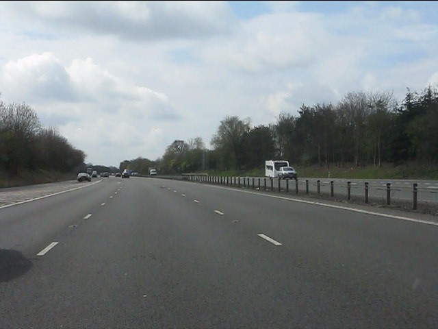
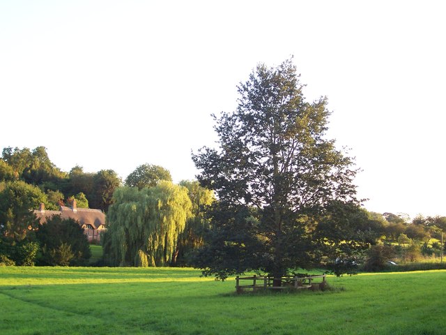
Van Diemens Gardens is a picturesque area located in Warwickshire, England. It is known for its stunning natural beauty, encompassing both downs and moorland landscapes. Spanning over a considerable area, Van Diemens Gardens offers visitors a diverse range of flora and fauna, making it a popular destination for nature enthusiasts and hikers alike.
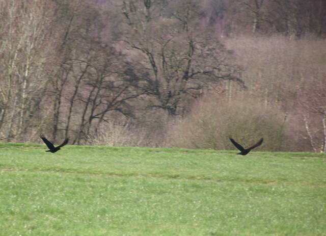
The downs of Van Diemens Gardens are characterized by rolling hills and grassy slopes. These hills provide panoramic views of the surrounding countryside and are often dotted with wildflowers during the spring and summer months. The downs are home to a variety of wildlife, including rabbits, foxes, and numerous species of bird.
In contrast, the moorland in Van Diemens Gardens offers a unique ecosystem. Here, visitors can explore vast expanses of heather and gorse, creating a beautiful purple and yellow carpet across the landscape. Moorland birds such as curlews and lapwings can often be spotted, adding to the area's natural charm.
The gardens also boast well-maintained walking paths and trails, allowing visitors to explore the area at their own pace. These paths are suitable for all levels of fitness and provide access to the diverse habitats within Van Diemens Gardens.
Additionally, the gardens offer several amenities for visitors, including picnic areas, parking facilities, and information boards to enhance the overall experience. Whether one seeks a leisurely stroll or a challenging hike, Van Diemens Gardens in Warwickshire provides a peaceful and scenic escape for all nature lovers.
If you have any feedback on the listing, please let us know in the comments section below.
Van Diemens Gardens Images
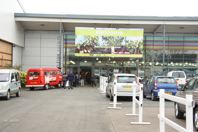
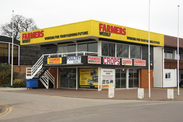
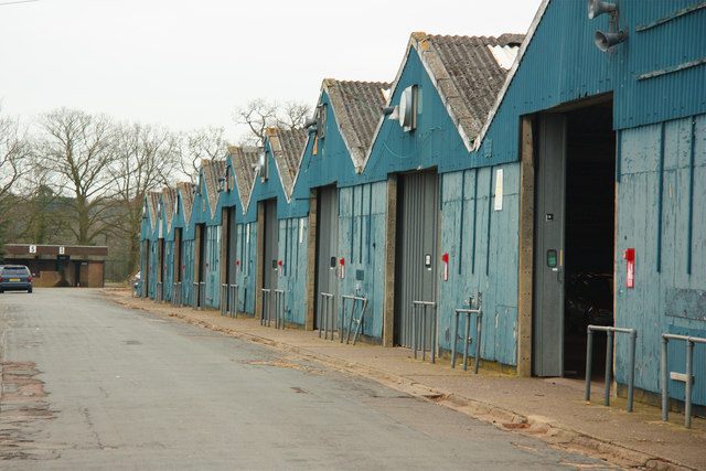
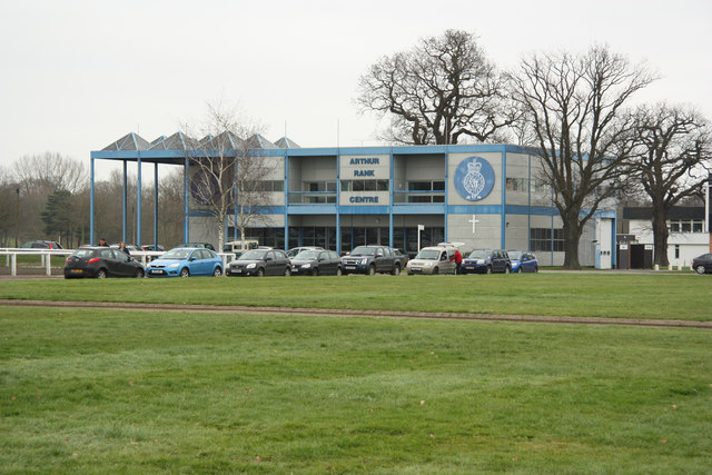
Images are sourced within 2km of 52.352163/-1.5128045 or Grid Reference SP3372. Thanks to Geograph Open Source API. All images are credited.


Van Diemens Gardens is located at Grid Ref: SP3372 (Lat: 52.352163, Lng: -1.5128045)
Administrative County: Warwickshire
District: Warwick
Police Authority: Warwickshire
What 3 Words
///snow.harsh.rises. Near Kenilworth, Warwickshire
Nearby Locations
Related Wikis
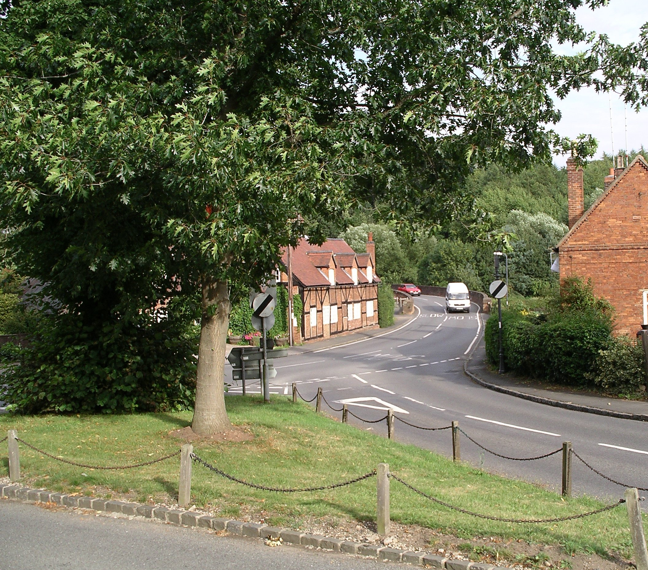
Stoneleigh, Warwickshire
Stoneleigh is a small village in Warwickshire, England, on the River Sowe, situated 4.5 miles (7.25 km) south of Coventry and 5.5 miles (9 km) north of...

River Sowe
The River Sowe is a river in Warwickshire and West Midlands, England. It is a tributary of the River Avon, and flows into it just south of Stoneleigh...
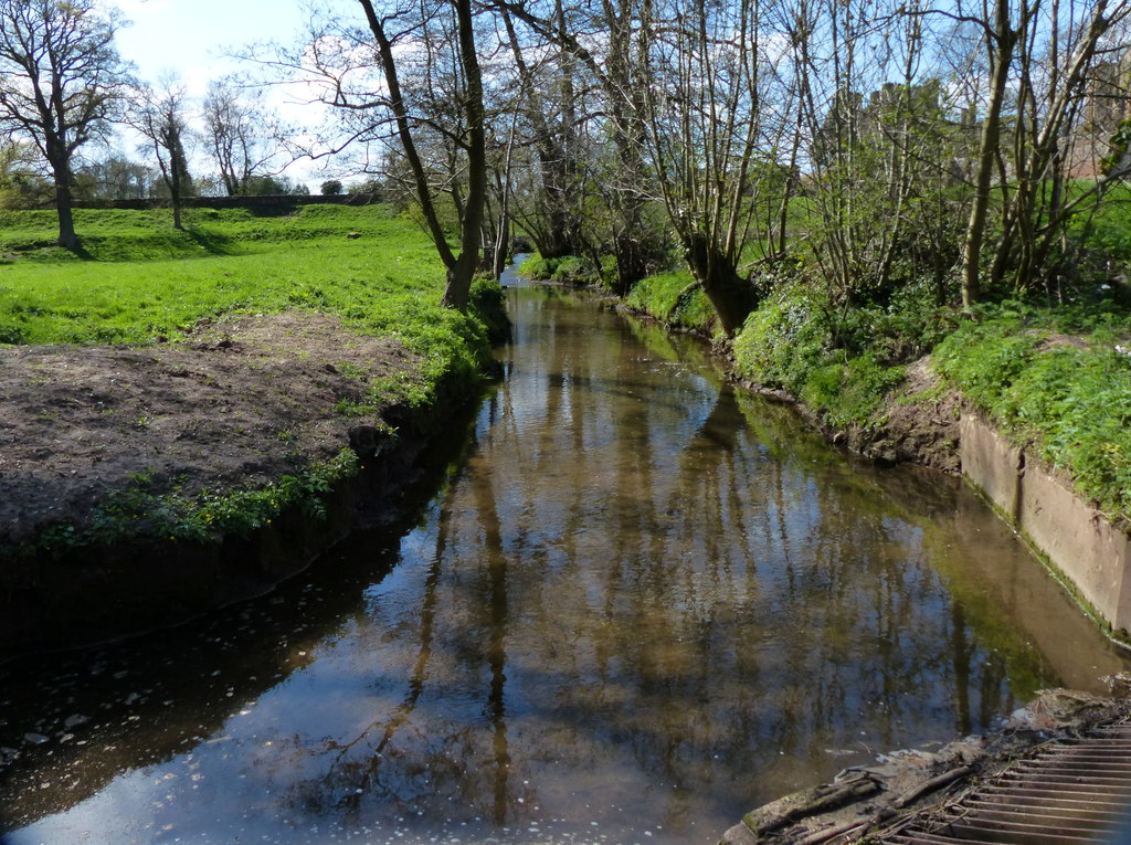
Finham Brook
The Finham Brook is a lower tributary of the River Sowe, it flows through Kenilworth and Warwickshire, England, to join the Sowe near Finham. Its principal...
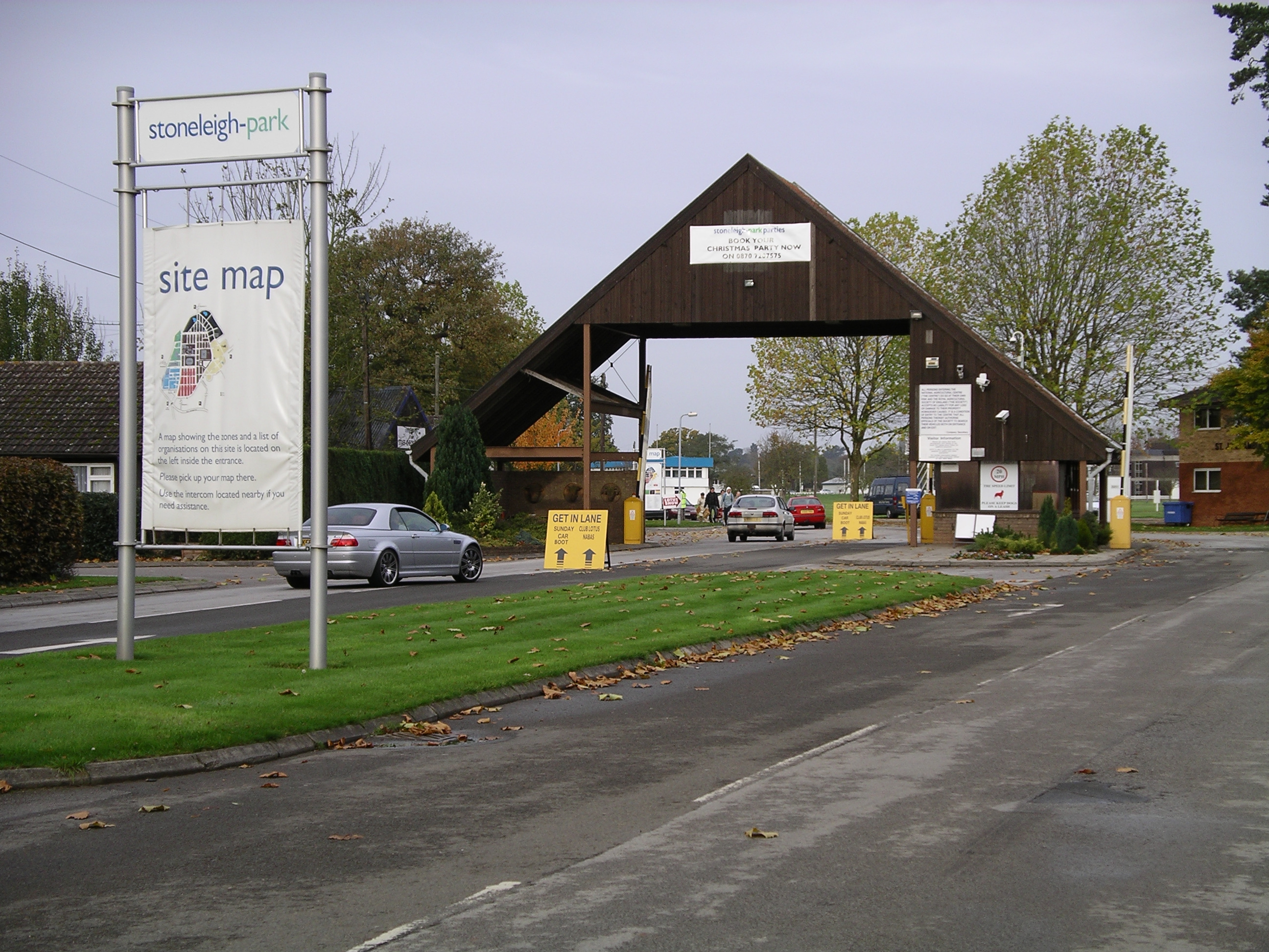
Stoneleigh Park
Stoneleigh Park, known between 1963 and 2013 as the National Agricultural Centre, is a business park located south-west of the village of Stoneleigh, Warwickshire...
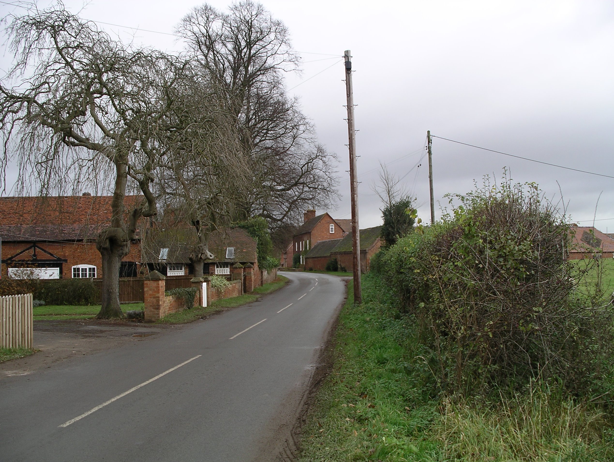
Stareton
Stareton is a small hamlet in Warwickshire, England. The population is included within Stoneleigh parish. It is situated about half a mile from Stoneleigh...

Rare Breeds Survival Trust
The Rare Breeds Survival Trust is a conservation charity whose purpose is to secure the continued existence and viability of the native farm animal genetic...

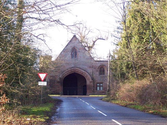
Stoneleigh Abbey Gatehouse
Stoneleigh Abbey Gatehouse is the 14th century gatehouse to the medieval Stoneleigh Abbey which was established near Stoneleigh, Warwickshire in the 12th...

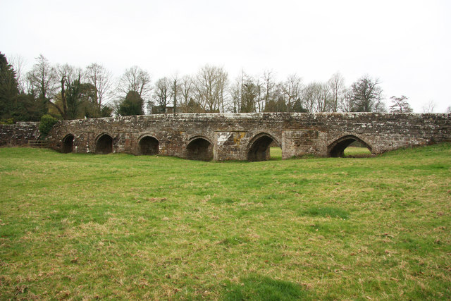
Stoneleigh Abbey
Stoneleigh Abbey is an English country house and estate situated south of Coventry. Nearby is the village of Stoneleigh, Warwickshire. The Abbey itself...
Nearby Amenities
Located within 500m of 52.352163,-1.5128045Have you been to Van Diemens Gardens?
Leave your review of Van Diemens Gardens below (or comments, questions and feedback).