Whitemoor Rough
Downs, Moorland in Hampshire New Forest
England
Whitemoor Rough
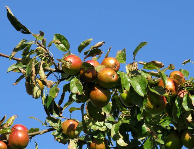
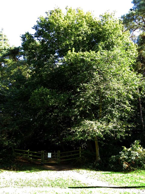
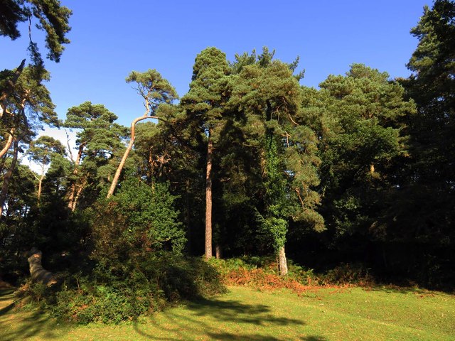
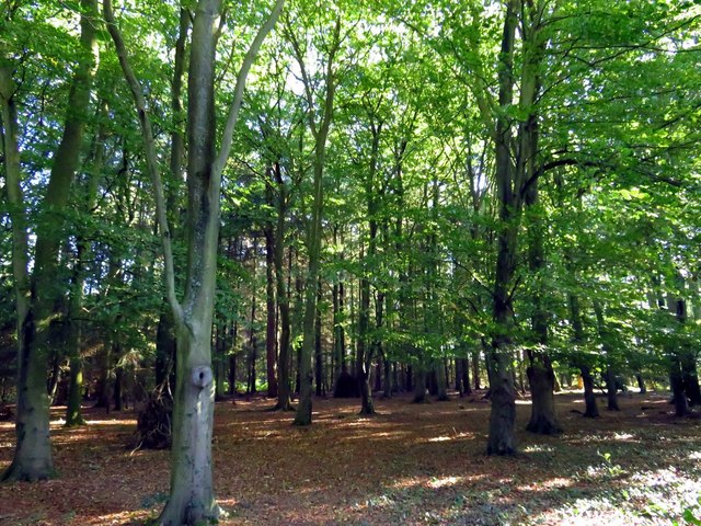
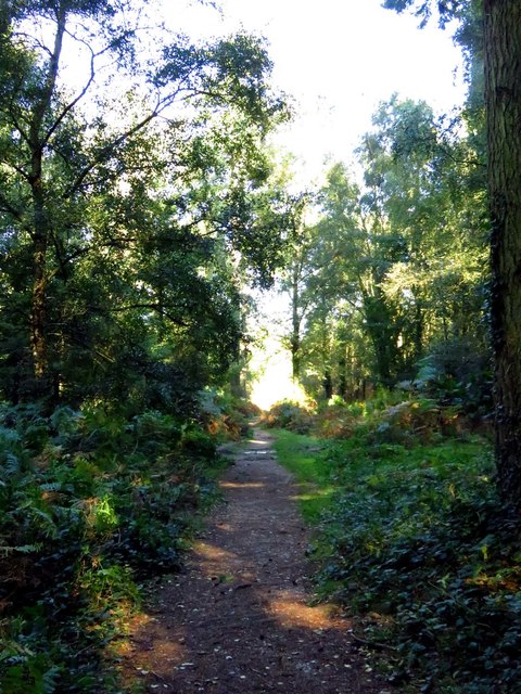
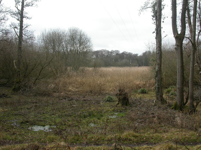
Whitemoor Rough is a picturesque and expansive natural area located in Hampshire, England. This enchanting landscape encompasses a diverse mix of downs and moorland, offering visitors a unique and immersive experience in the heart of nature. Spanning over a considerable area, Whitemoor Rough boasts rolling hills, undulating terrains, and a rich variety of flora and fauna.
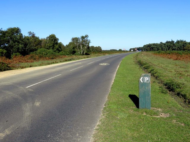
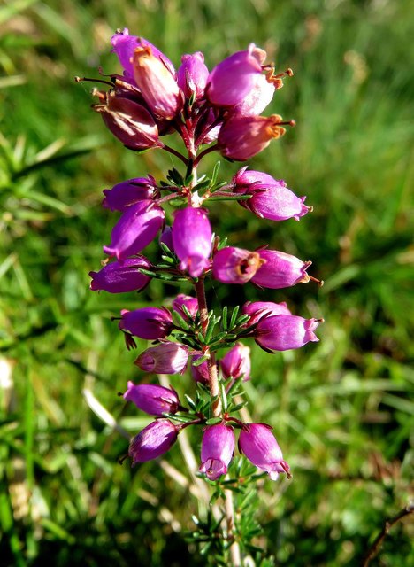
The downs of Whitemoor Rough are characterized by their gently sloping hills and stunning vistas. These grassy slopes are home to an array of wildflowers, such as orchids and harebells, which create a vibrant and colorful tapestry during the spring and summer months. The open expanse of the downs also provides ample opportunities for leisurely walks, picnics, and wildlife spotting.
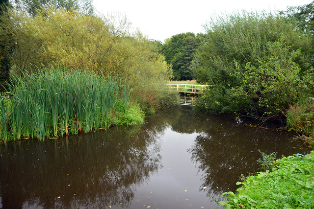
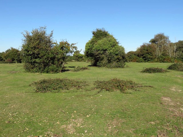
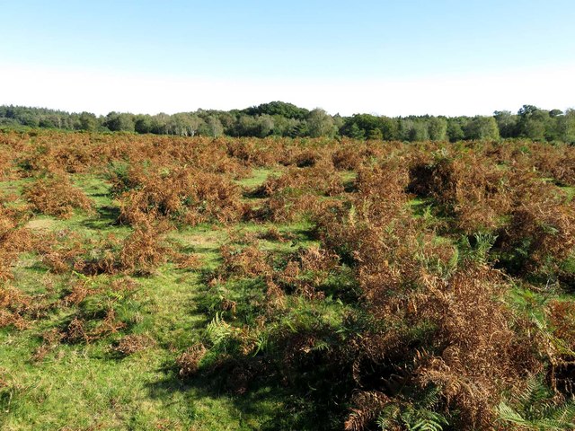
In contrast, the moorland of Whitemoor Rough offers a more rugged and untamed landscape. Here, visitors can explore vast heathlands and navigate through scattered patches of gorse and heather. This unique habitat supports a variety of wildlife, including lizards, adders, and a wide range of bird species. The moorland also features several picturesque ponds, making it a haven for dragonflies, amphibians, and other water-dwelling creatures.
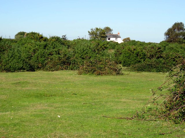
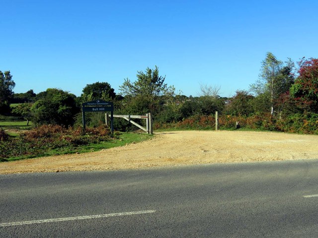
Whitemoor Rough is a haven for nature enthusiasts and outdoor adventurers alike. The area offers a network of well-maintained footpaths, allowing visitors to explore its captivating beauty at their own pace. Whether it's a leisurely stroll, a challenging hike, or birdwatching in serene surroundings, Whitemoor Rough has something to offer for everyone seeking solace in the embrace of nature.
If you have any feedback on the listing, please let us know in the comments section below.
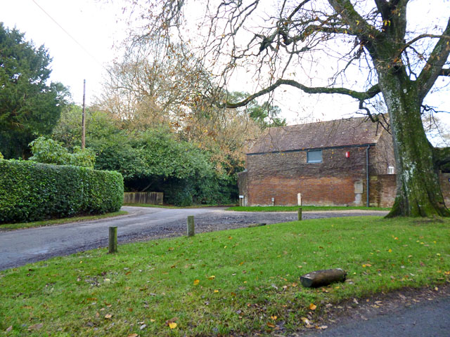
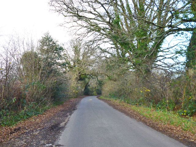
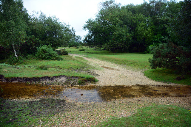
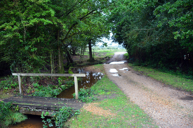
Whitemoor Rough Images
Images are sourced within 2km of 50.792497/-1.5293592 or Grid Reference SZ3399. Thanks to Geograph Open Source API. All images are credited.


Whitemoor Rough is located at Grid Ref: SZ3399 (Lat: 50.792497, Lng: -1.5293592)
Administrative County: Hampshire
District: New Forest
Police Authority: Hampshire
What 3 Words
///stack.publisher.suckle. Near Lymington, Hampshire
Nearby Locations
Related Wikis

Pilley, Hampshire
Pilley is a small village in the civil parish of Boldre, in the New Forest national park in Hampshire, England. Pilley is located 2 miles north of the...

Roydon Woods
Roydon Woods is a 294.9-hectare (729-acre) biological Site of Special Scientific Interest near Brockenhurst in Hampshire. It is a nature reserve managed...
Boldre
Boldre is a village and civil parish in the New Forest district of Hampshire, England. It is in the south of the New Forest National Park, above the broadening...

Portmore, Hampshire
Portmore is a hamlet in the New Forest National Park of Hampshire, England. It is in the civil parish of Boldre. Its nearest town is Lymington, which...

RAF Beaulieu
Royal Air Force Beaulieu or more simply RAF Beaulieu is a former Royal Air Force station in the New Forest, Hampshire, England. It was also known as Beaulieu...

Walhampton School
Walhampton School is a coeducational private preparatory school situated in the hamlet of Walhampton, near Lymington, England. It is the result of the...
Lymington River Reedbeds
Lymington River Reedbeds is a 41.7-hectare (103-acre) biological Site of Special Scientific Interest in Lymington in Hampshire. It is a nature reserve...

A337 road
The A337 road is a road in southern England that runs from the M27 motorway in Hampshire to Christchurch in Dorset. == Route of Road == The A337 begins...
Nearby Amenities
Located within 500m of 50.792497,-1.5293592Have you been to Whitemoor Rough?
Leave your review of Whitemoor Rough below (or comments, questions and feedback).